
No Name Falls
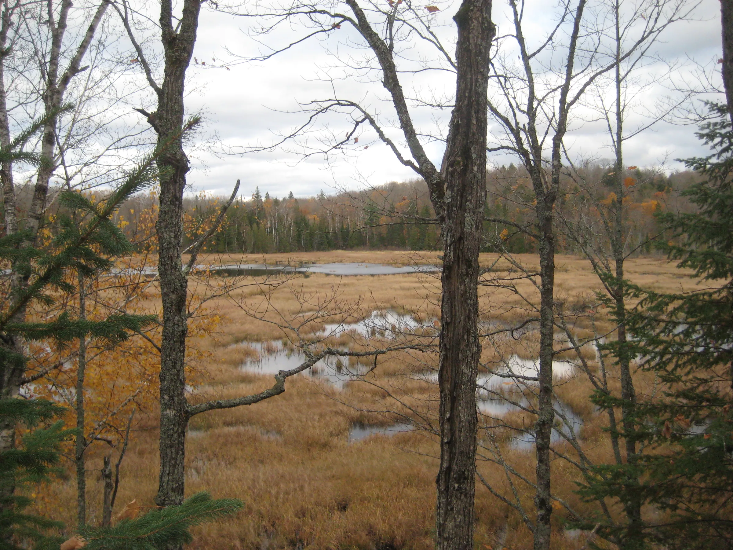
The upper Sturgeon River carves a wide river valley through the Nestoria and Tioga areas with a steep northern slope holding back numerous swamps and ponds. Many of these swamps drain south, down the slope, and form long chains of mediocre rapids along unnamed creeks. One of these creeks stands out.
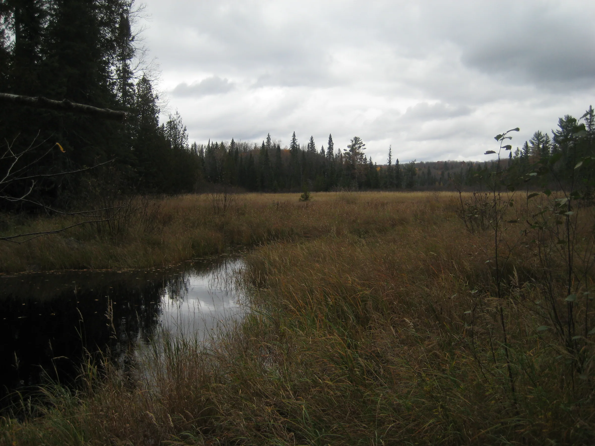
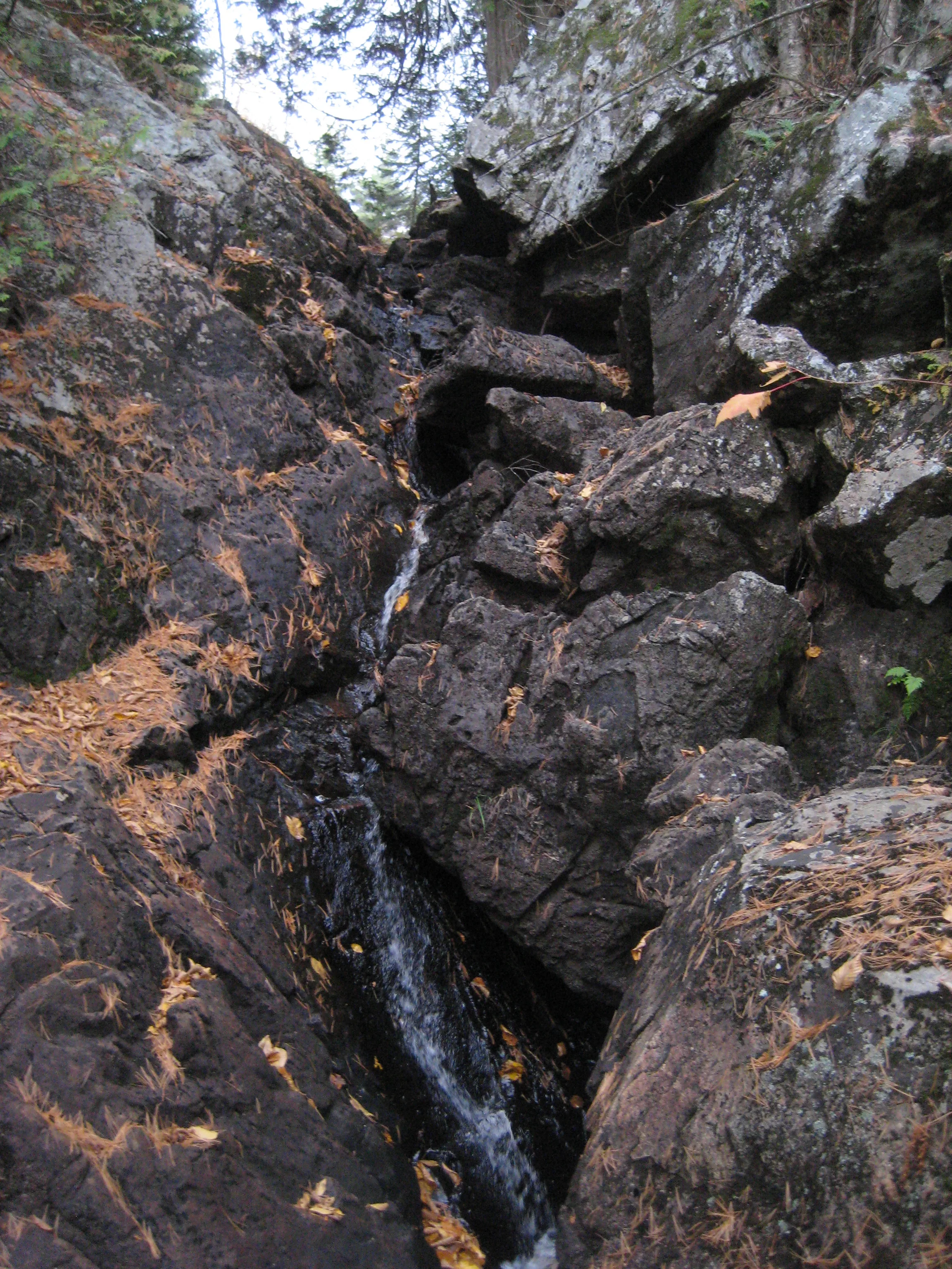
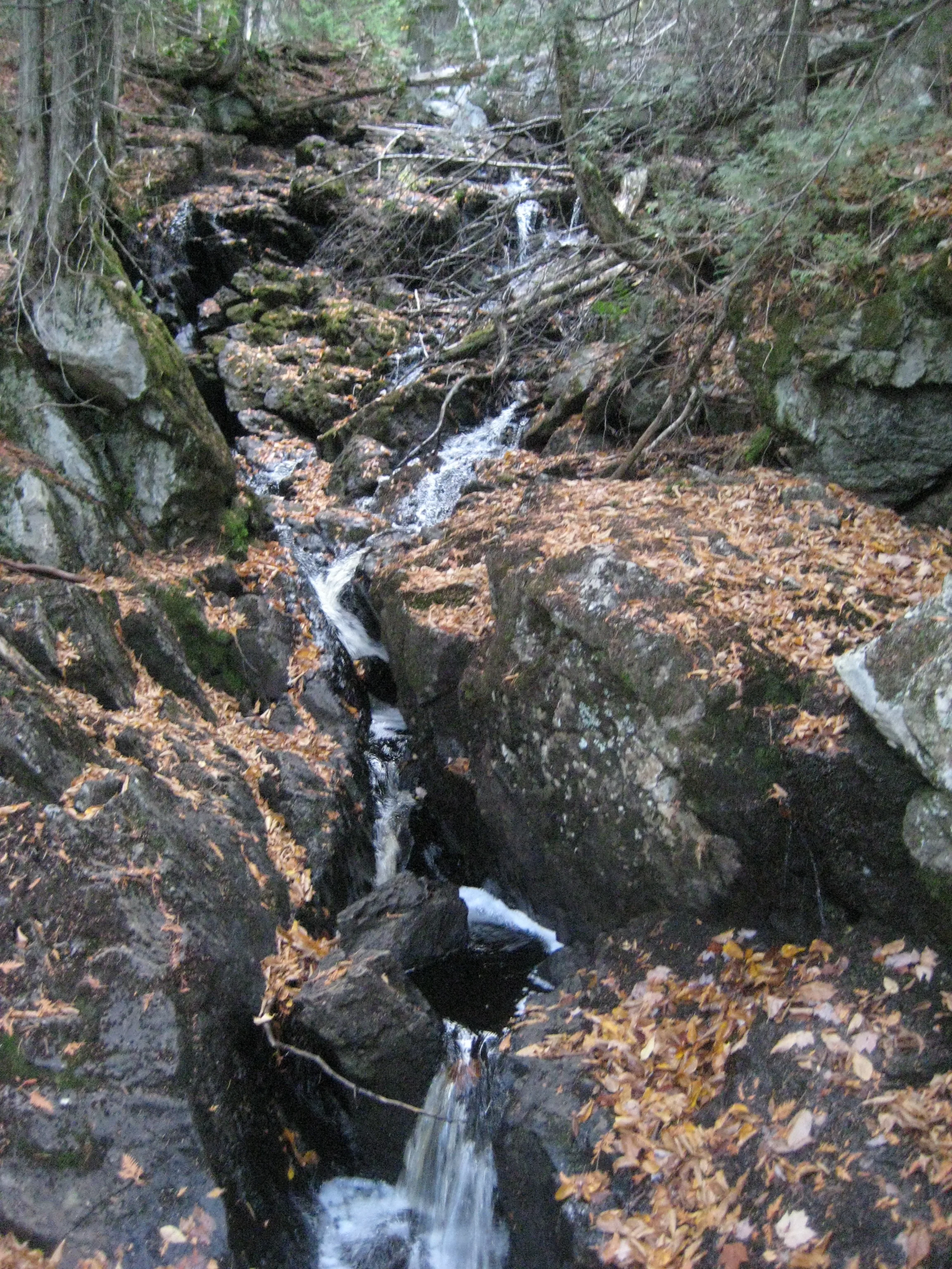
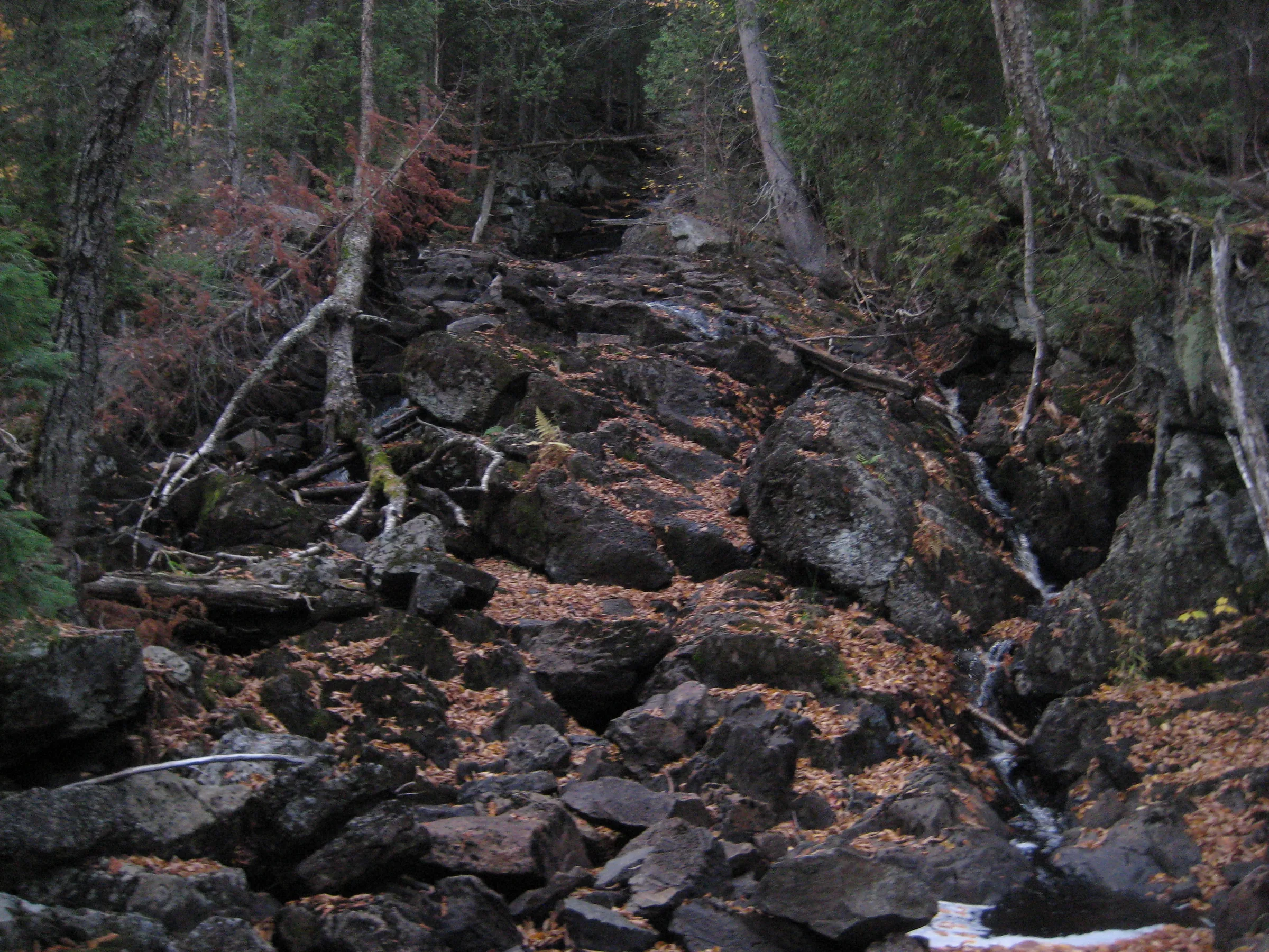
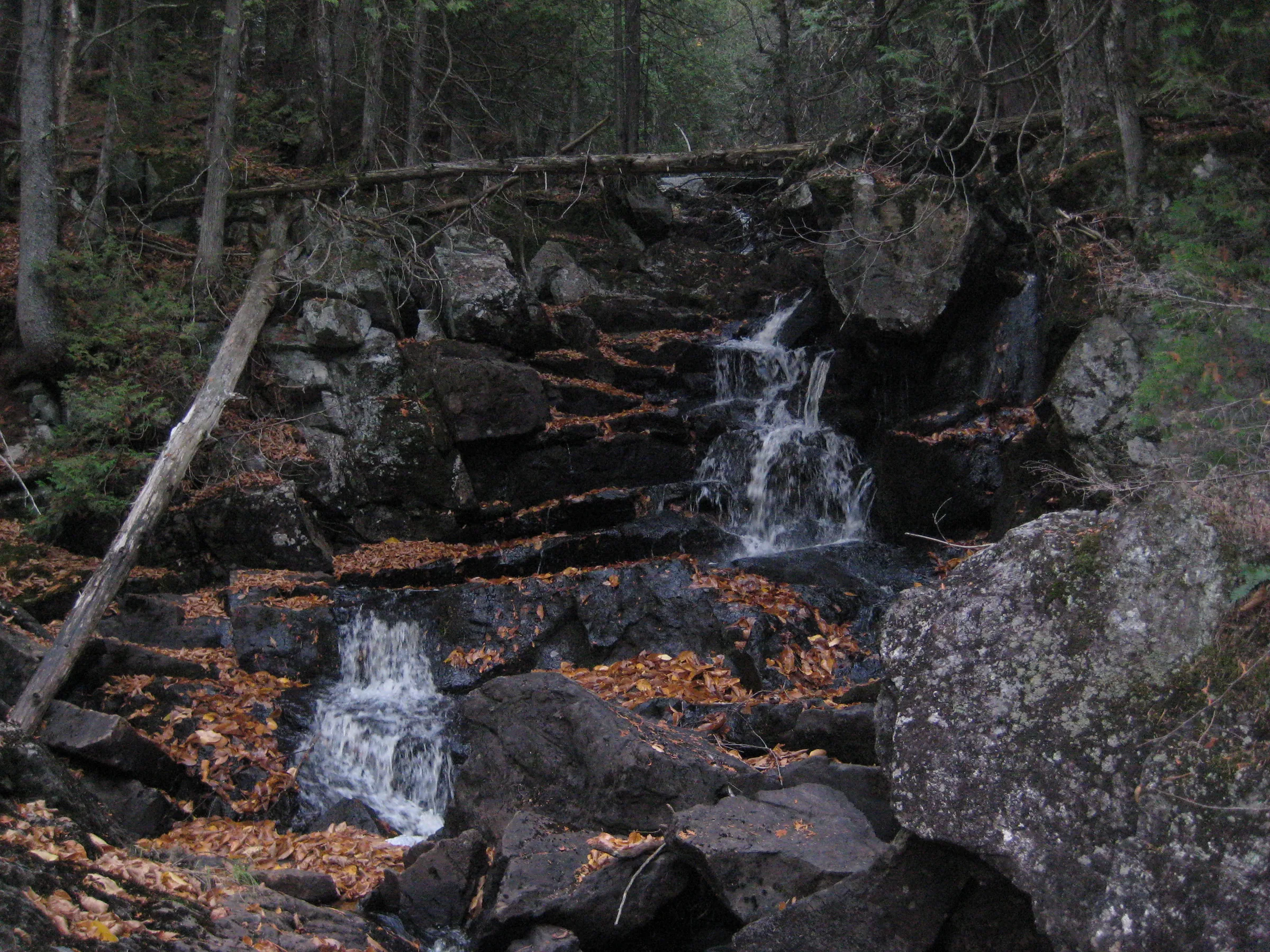
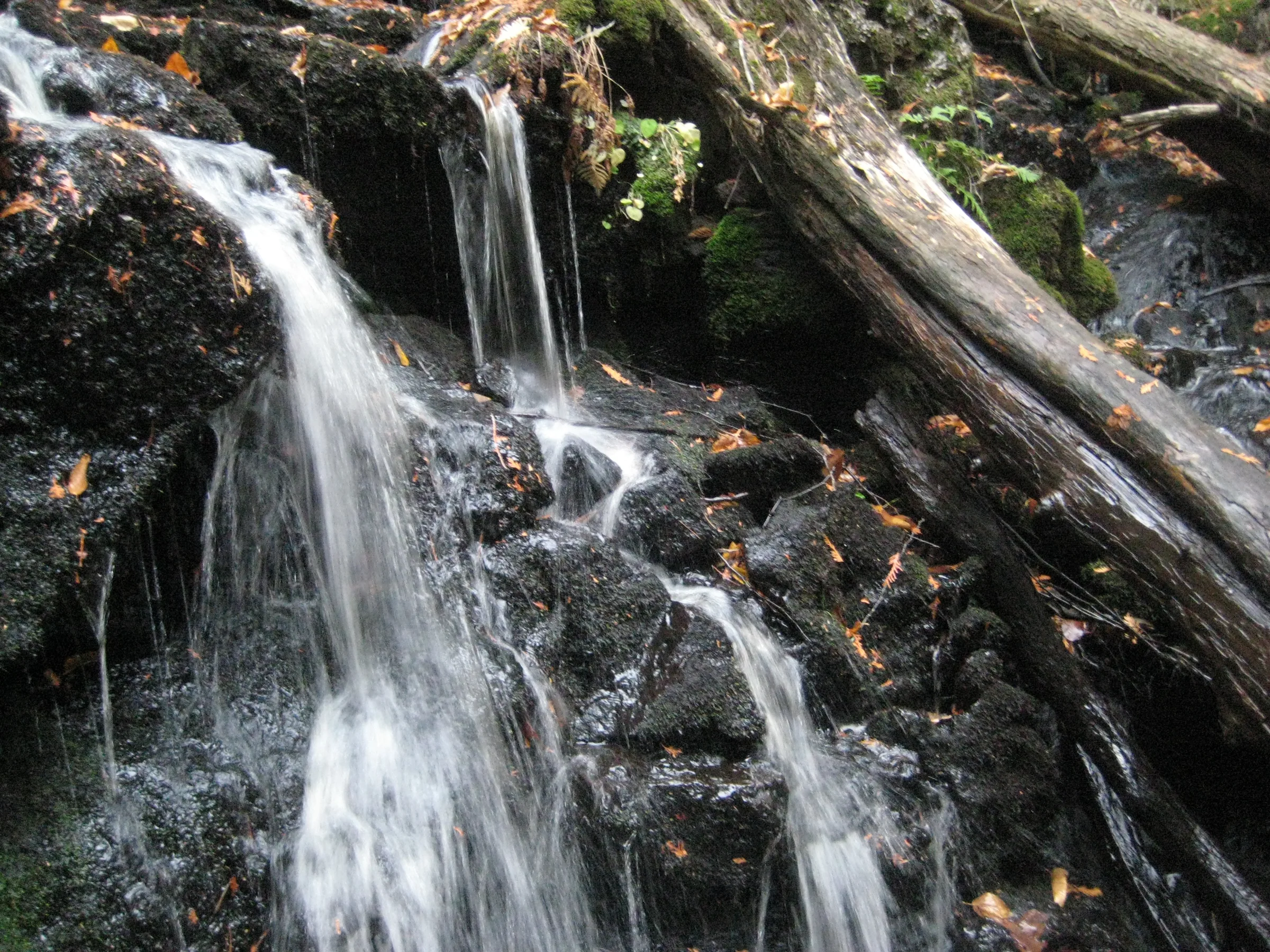
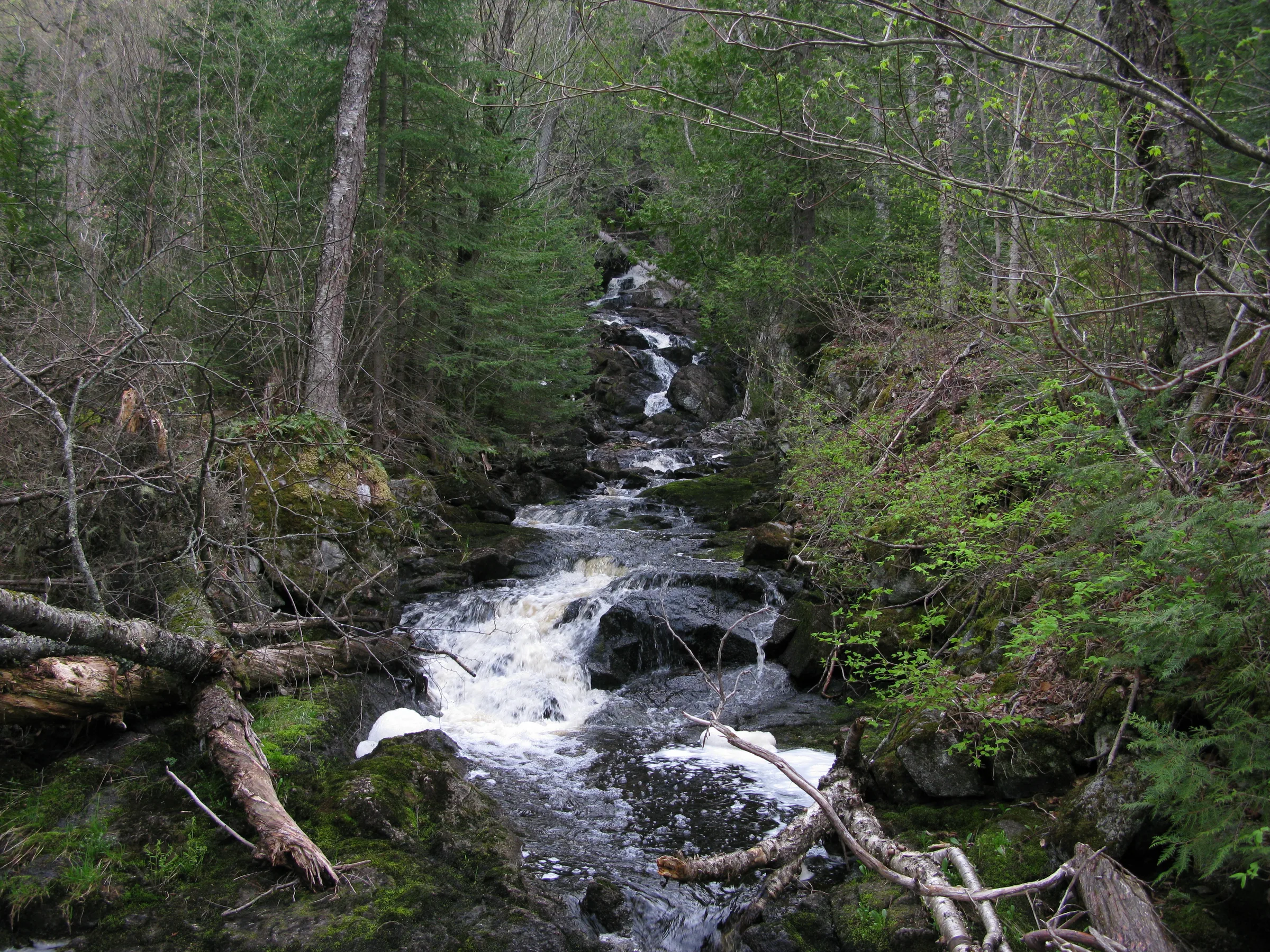
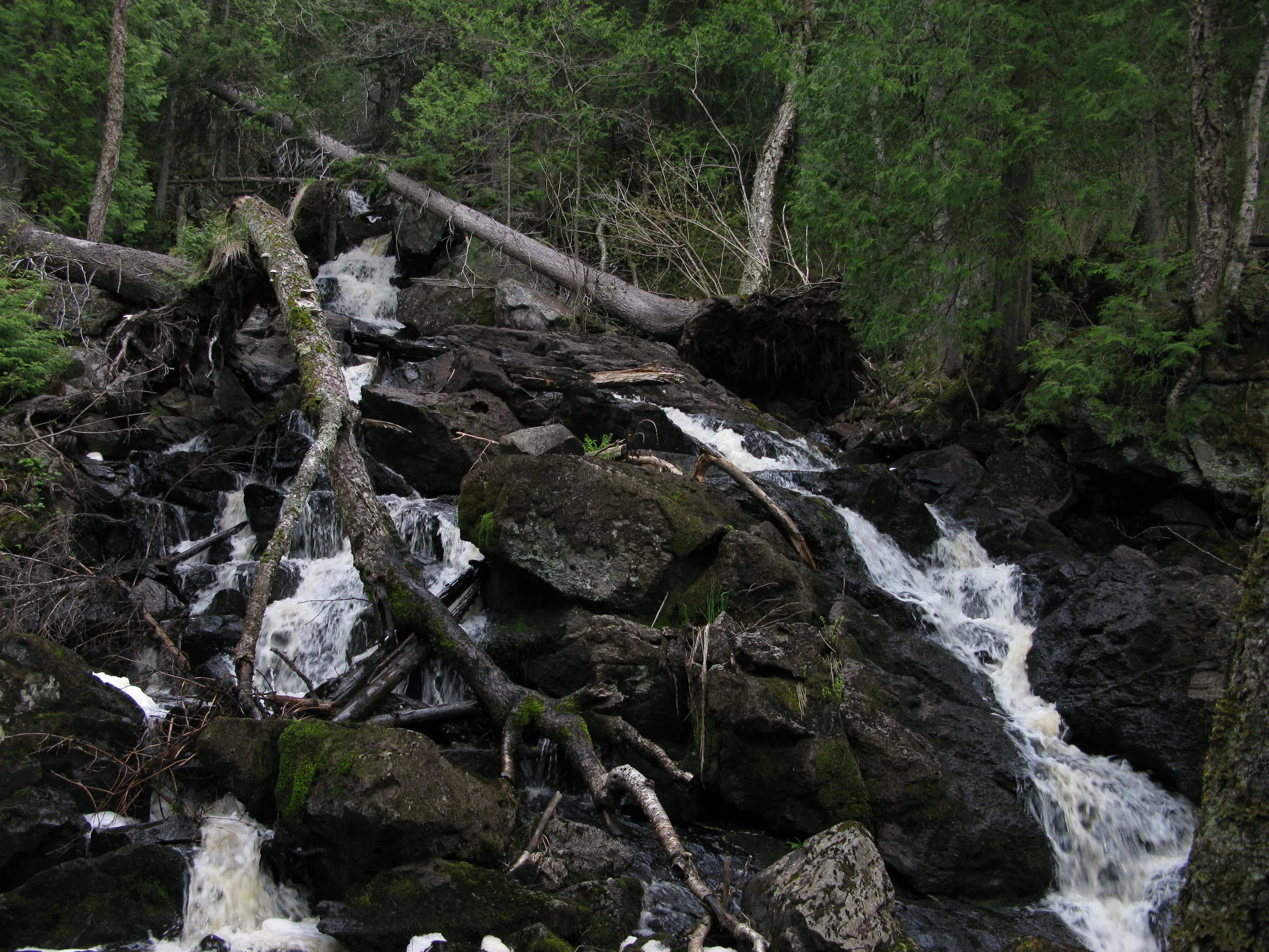
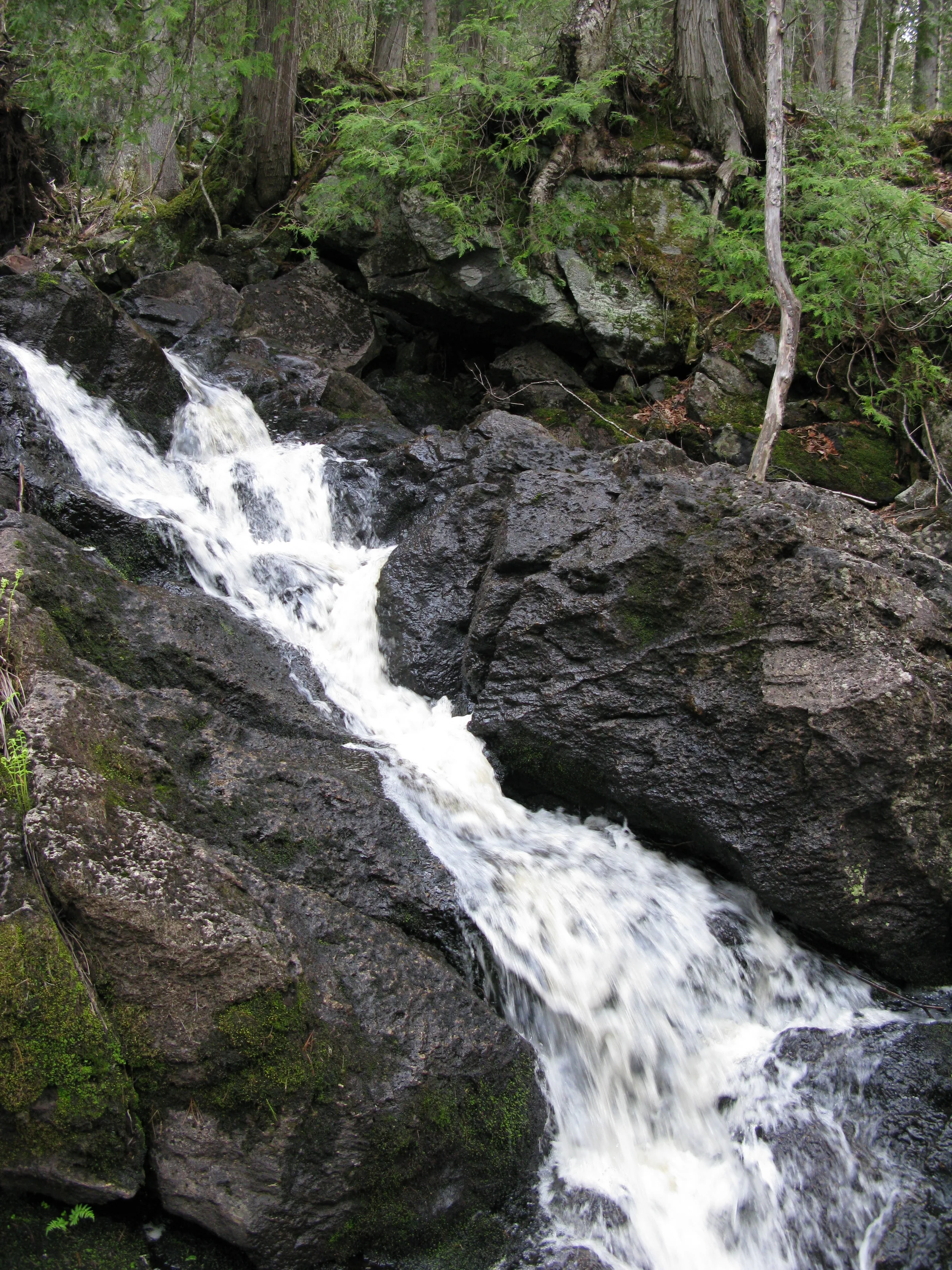
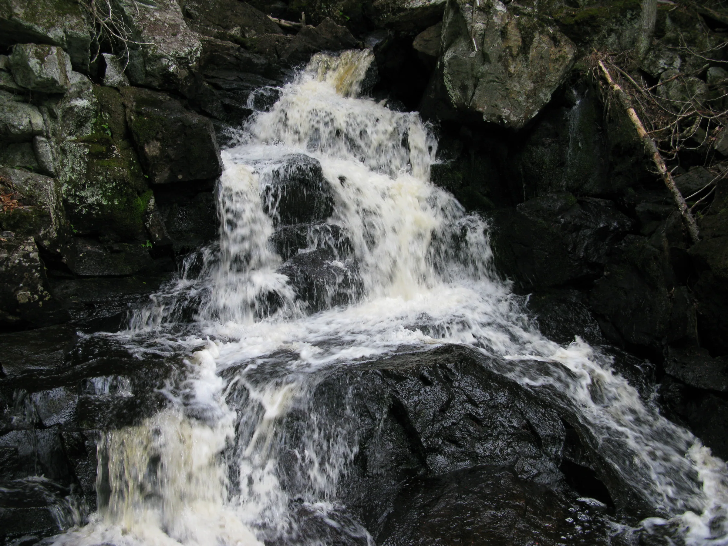
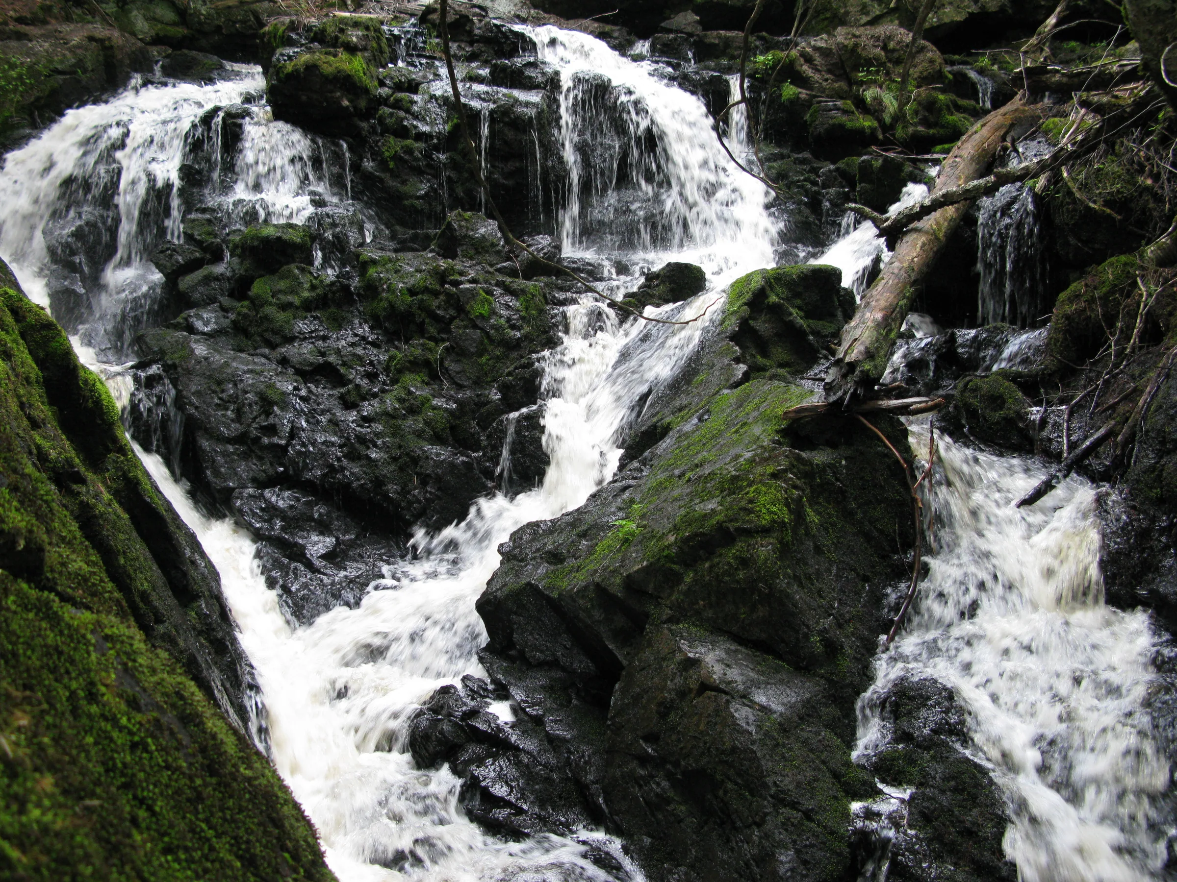
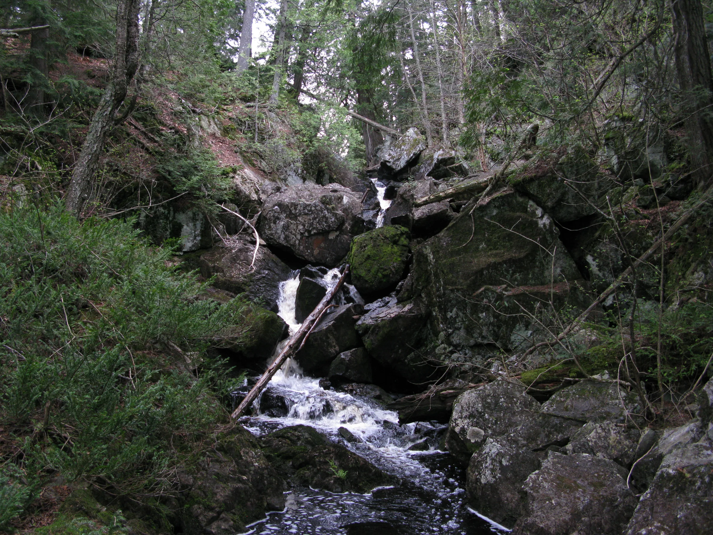
No Name Falls is at the end of a long set of swamps linked by a creek with no name. The first half of the waterfall is mostly hidden by large boulders, dropped by a towering rock spire to the east. The lower drops are visible and impressive, especially during the spring melt, with multiple plunges and slides before the creek flows into the sluggish upper Sturgeon River.
Directions
From Herman, a small town south of L’Anse, head down the Herman-Nestoria Road for 3 miles. Park at the two-track that forks off to the right. A small area to pull-off sits near the main road; it is flooded a short distance south, a spot best waded through and not driven (for most normal vehicles). After crossing this there are two possible routes.
Without a GPS and coordinates it may be safest to follow the swamp downstream. Only two tough sections, when the swamp moves inland across your path, may be confusing. Otherwise this route is up and down a lot of outcroppings and not too difficult to follow. Three swampy sections and two quick-moving rapids come before No Name Falls. Just keep the swamps and open water to your left.
For an easier but more winding route stick to the two-track, keeping on the main path (there are a few overgrown forks). Turn left at the fork at 1.2 miles, veering south and then back east, towards a donut pond, until the path gets swampy after 1.1 miles. There should be another, less defined fork to the right. Take this up to the top of the ridge, keeping the steep downhill to your right as you continue east. No Name Falls is the first significant drop along your path east, beyond another swampy section, about .3 miles from the last fork.
Photographs
Visits
Seen in September and October.
- barely flowing
No Name Falls is easily one of the tallest falls in the area even if the individual plunges and cascades are only a few feet apiece. I crept up the damp, leaf covered rocks, taking photos of the individual drops, happy to finally find this remote spot; the bottom sections were very pretty, if barely flowing, and the top third was almost completely covered with huge boulders. A steep, narrow canyon was cut in the stone at the end of the last swamp, too treacherous for Logan and I to attempt, so we approached from the bottom instead.
I knew from previous visits that this track was too flooded to attempt driving down, filled with water from the same swampy creek that the falls were supposed to be draining far to the south. The track was easy to walk down and the day was beautiful. We walked slowly, enjoying being in the woods. After a half hour or so Katie started to question how long of a hike this would be, and it was obvious that we weren't making much headway.


Leave a comment