
Upper Falls
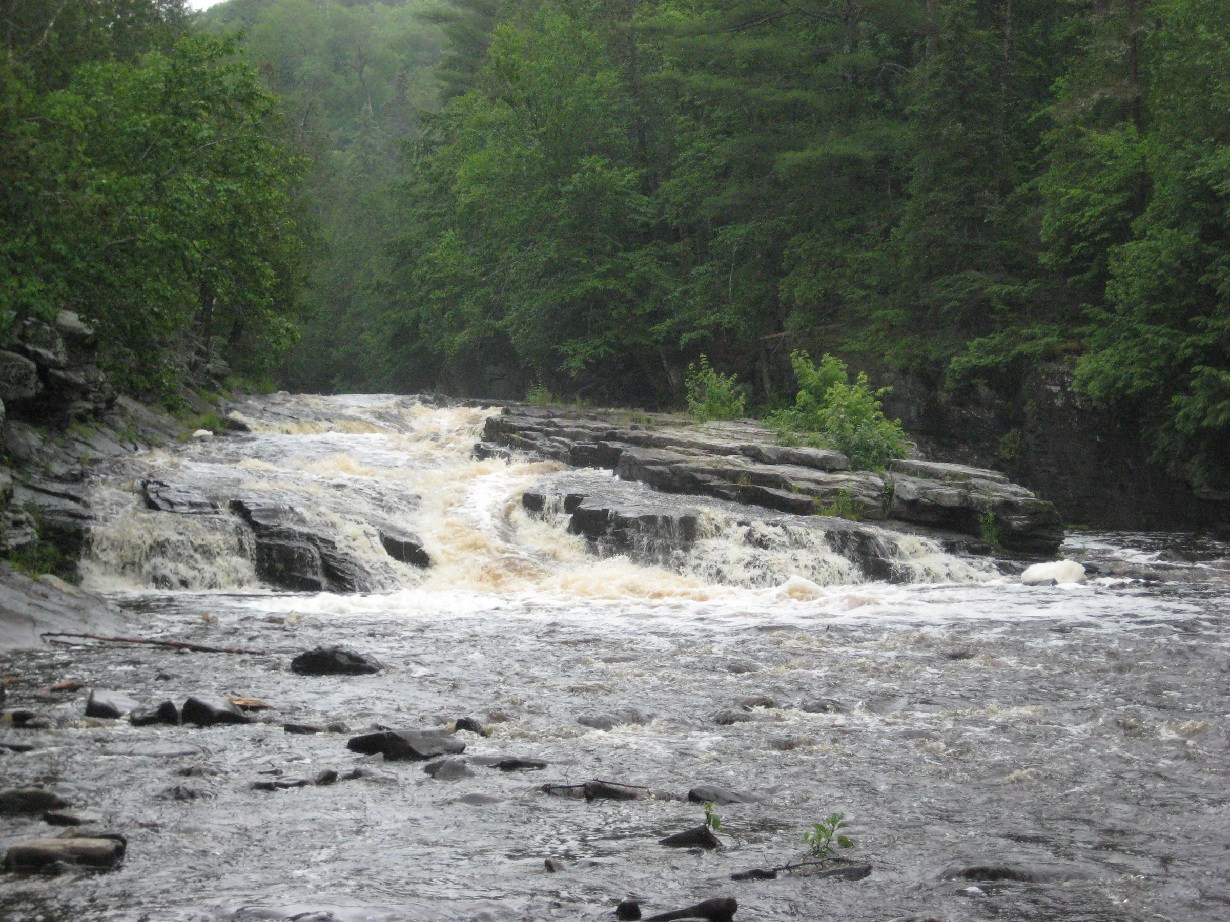
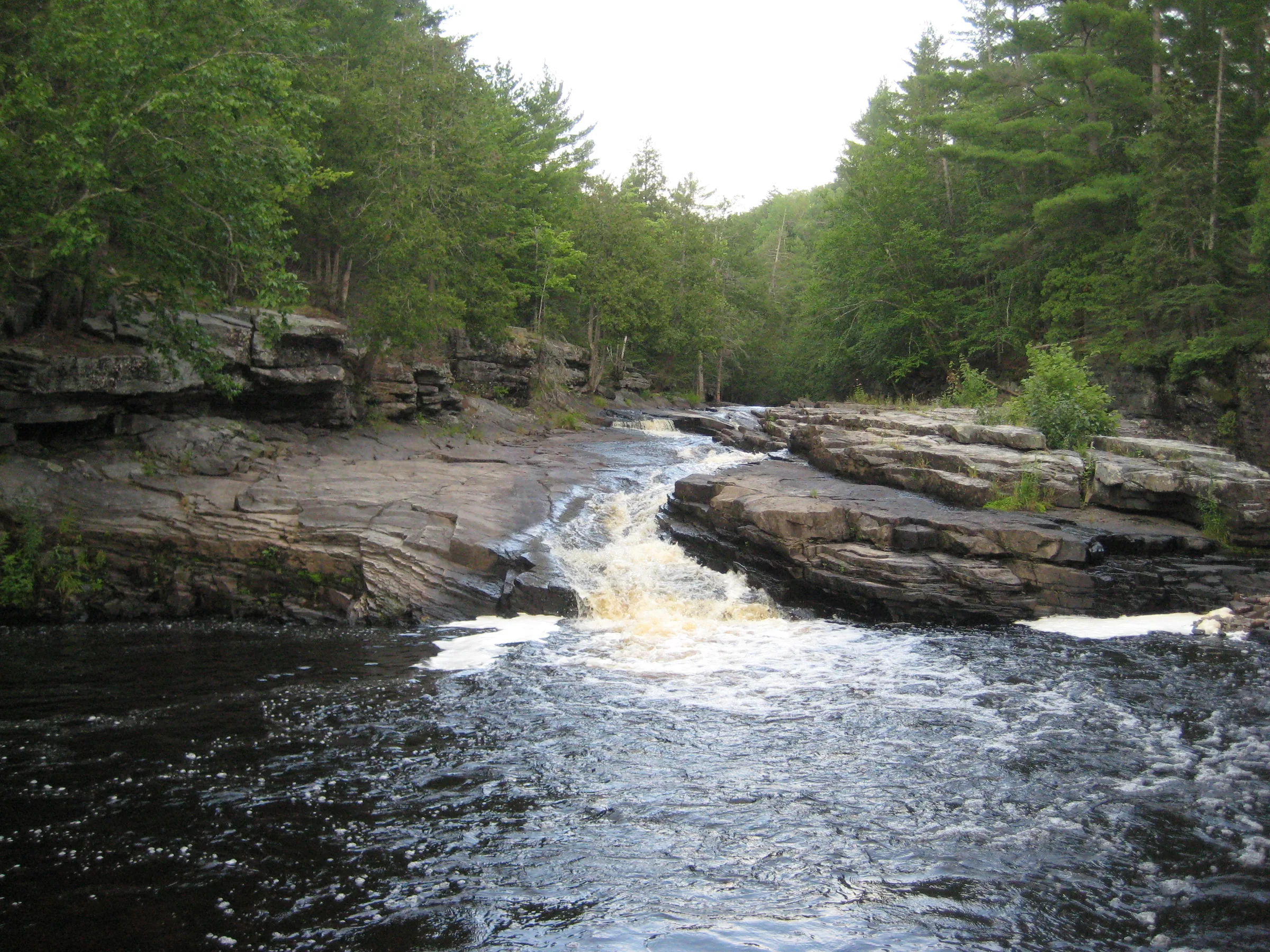
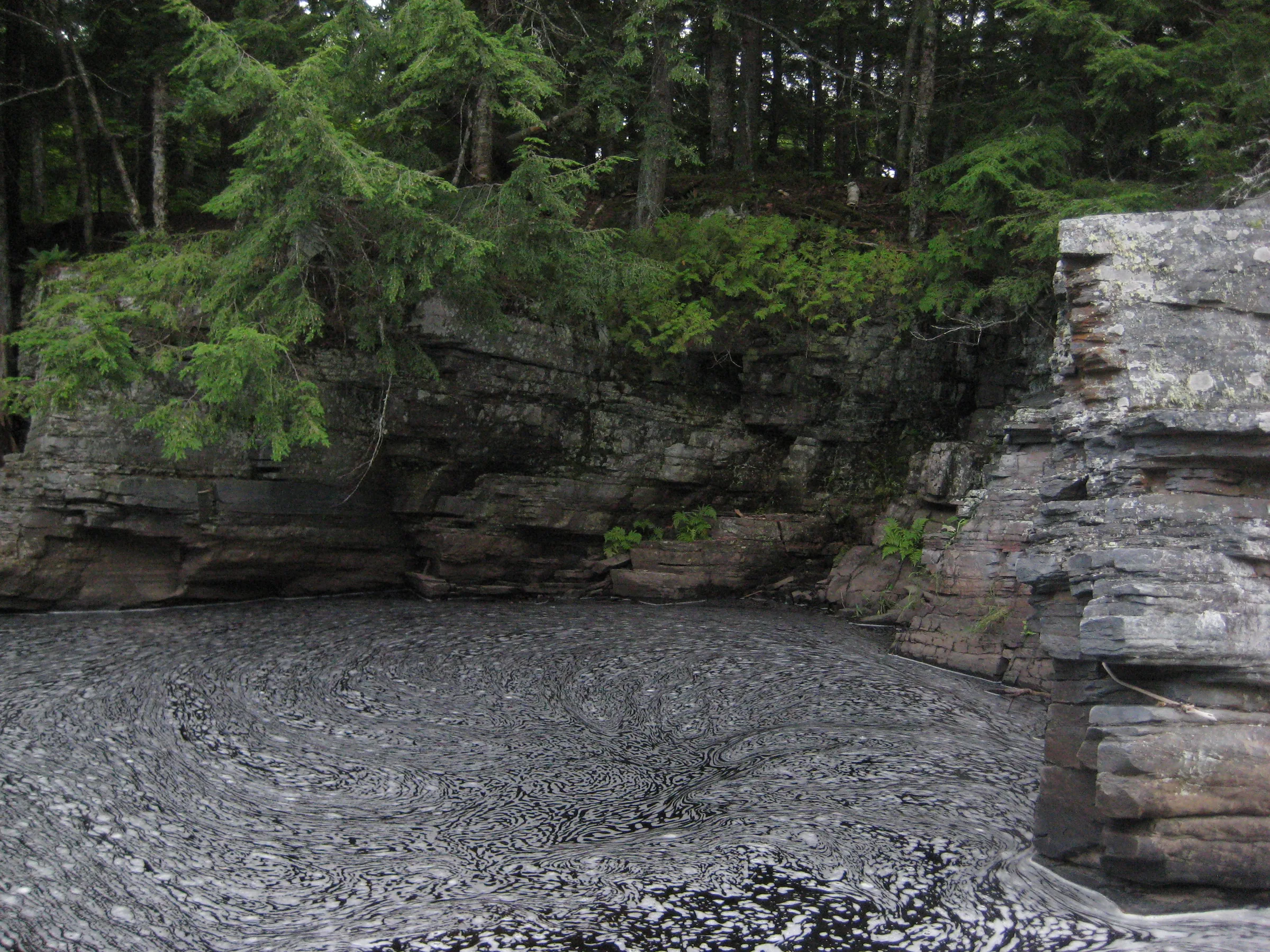
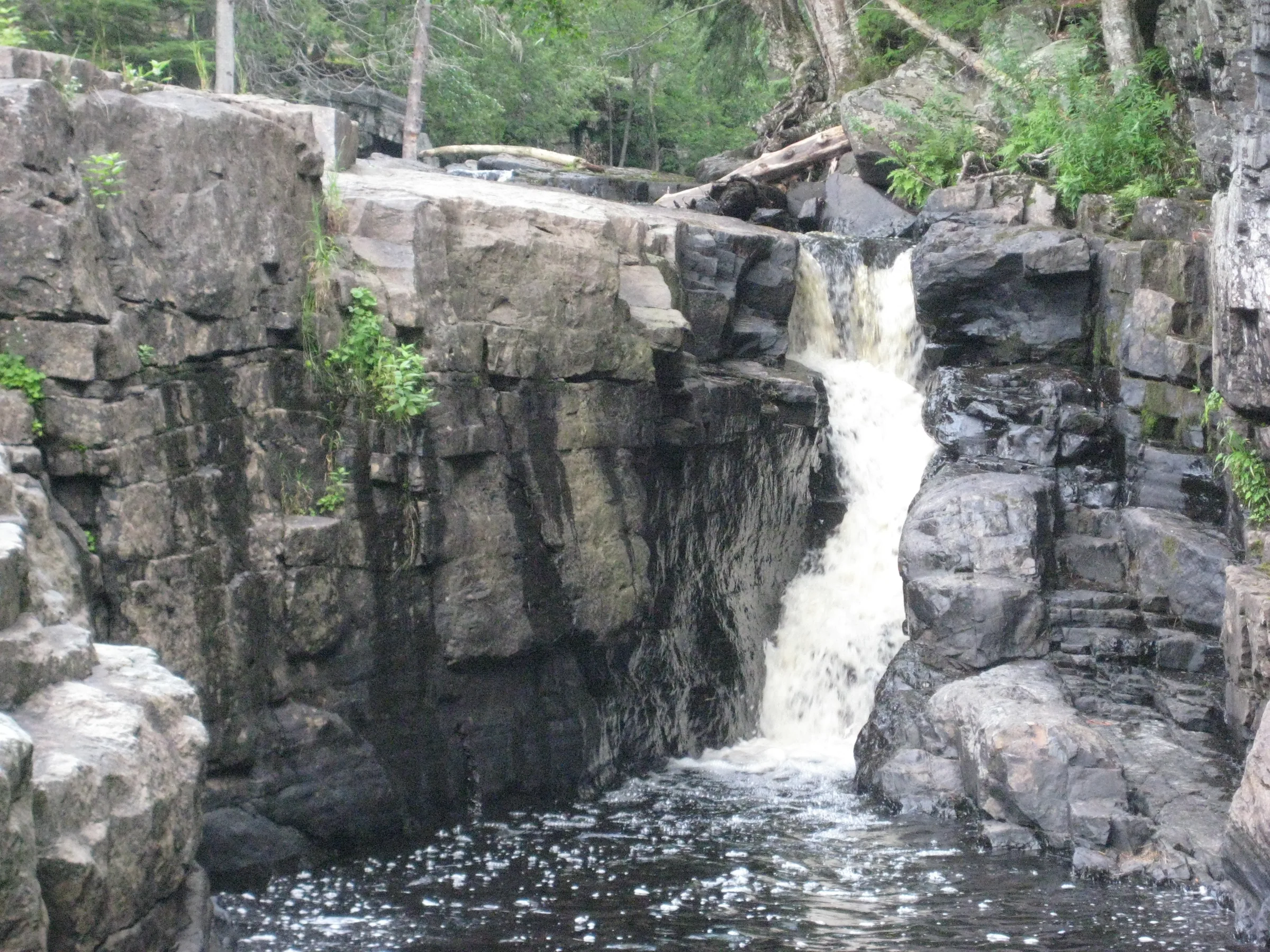
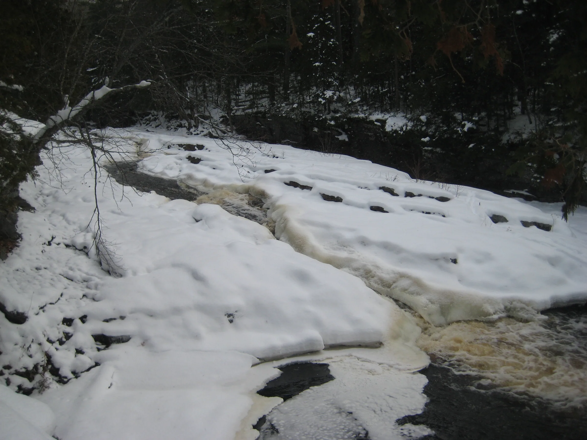
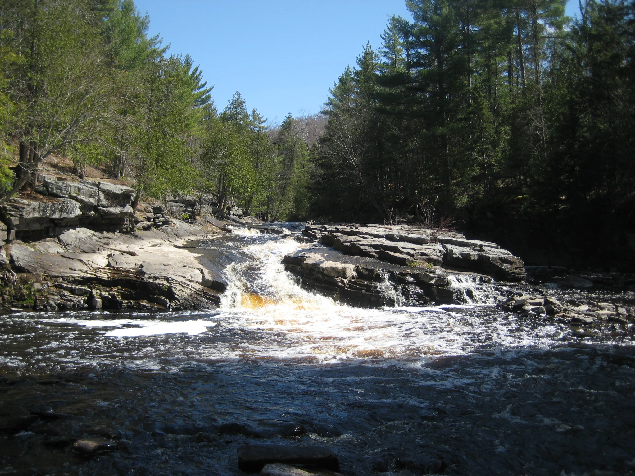
Downstream from the well-known and well-visited Canyon River Falls there is another waterfall. Upper Falls is a split drop marking the point where Sturgeon River empties from the confining slate box canyon into a wide, green rivery valley. Most of the water slides over a long slide of slate but the right side, partially hidden, drops down a small chute into a dark little pool of water.
Directions
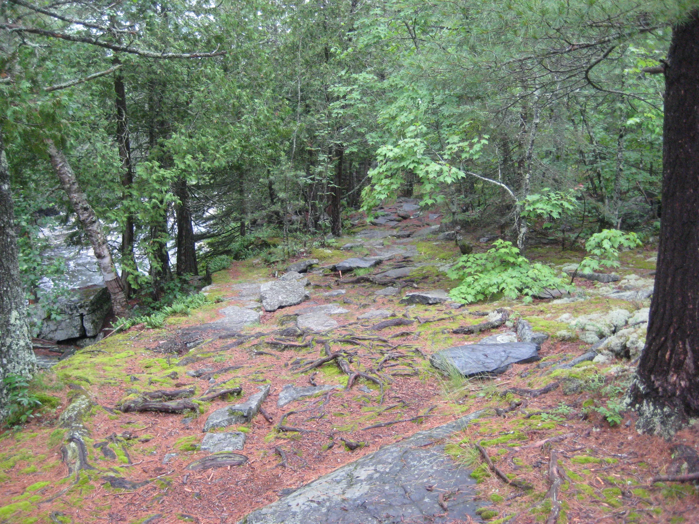
10 miles south of L’Anse on US-41, the roadside park for Canyon River Falls sits on the right side of the road just north of the bridge over Sturgeon River. Park at the park, which is open seasonally, and follow the rock trail to Canyon River Falls. Continue on the path past the maintained area, along the edge of the slate canyon, until the path and canyon ends at Upper Falls.
Photographs
Visits
Seen in April and August.
The path is well-defined to and past the cliff-jumping area and goes all the way to the lowermost falls. Which is called Upper Falls because of maps or something. I didn't stick long here, just took a quick photo and headed back. I had wasted enough time down here on past visits, hoping to find another drop in the swamps below due to a coordinate error.
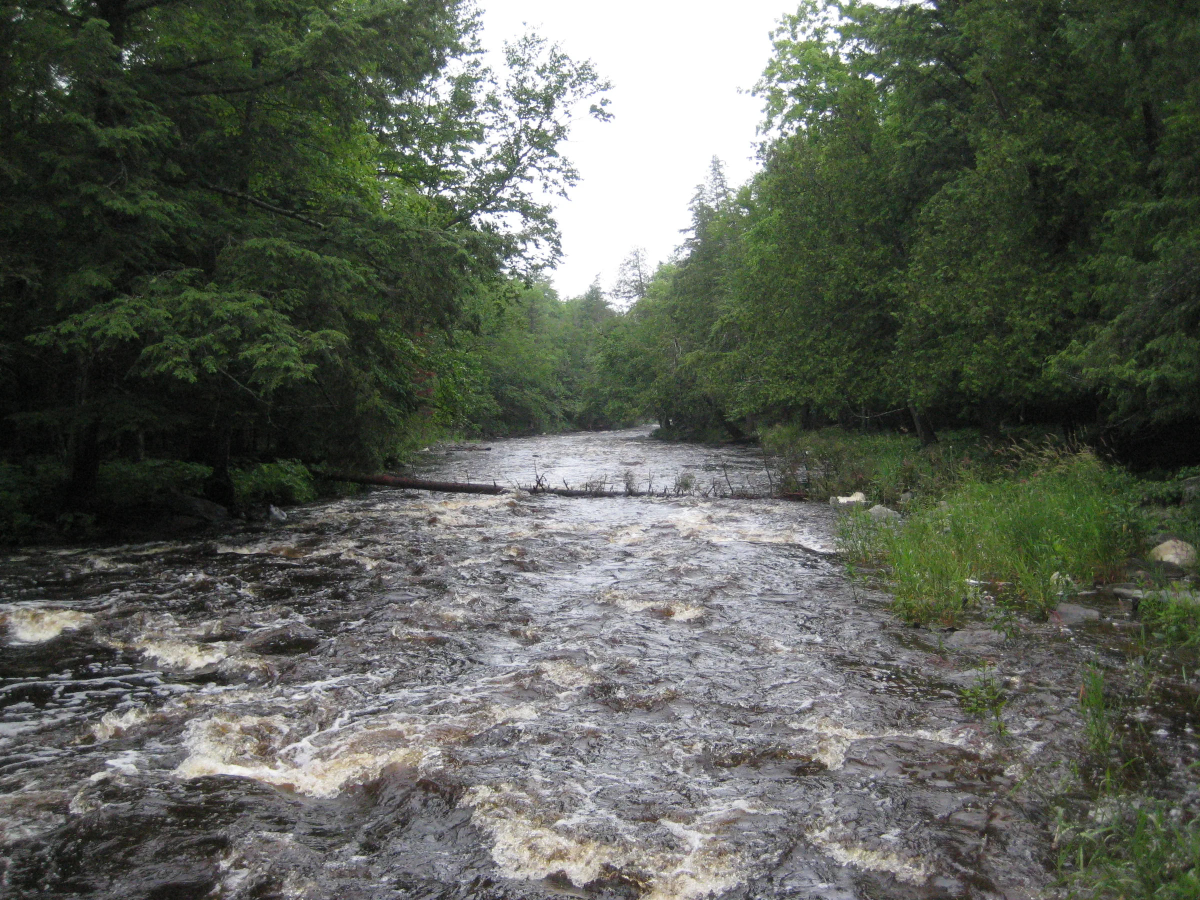
On the way back we stopped at the lower entrance to the canyon, the long, sliding drop that Sturgeon River pours down. This had to be Upper Falls. I don't really understand why the downstream exit would be called upper; it may be related to where you can safely put in a canoe below the rugged drops and twists upstream. We had walked a good half mile below the canyon to be sure, and there was no falls, just a rock-strewn river turning into muddy swamp.


Leave a comment