
Pinnacle Falls
From its highlands in the McCormick Tract the Yellow Dog River drops over a thousand feet before flowing into Lake Independence in Big Bay. Along the route it flows over several different waterfalls, the most rugged and scenic being Pinnacle Falls on the Yellow Dog Plains. A flat sandy plain is not a normal place to find a waterfall. However, far underneath the pine trees and sand there is a rugged rocky topology, one that only barely pokes up at Eagle Rock and is uncovered by the deep sandy gorge that the Yellow Dog River has cut to the north.
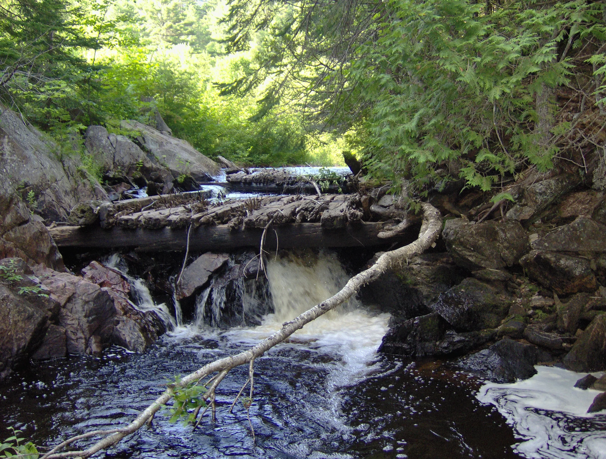
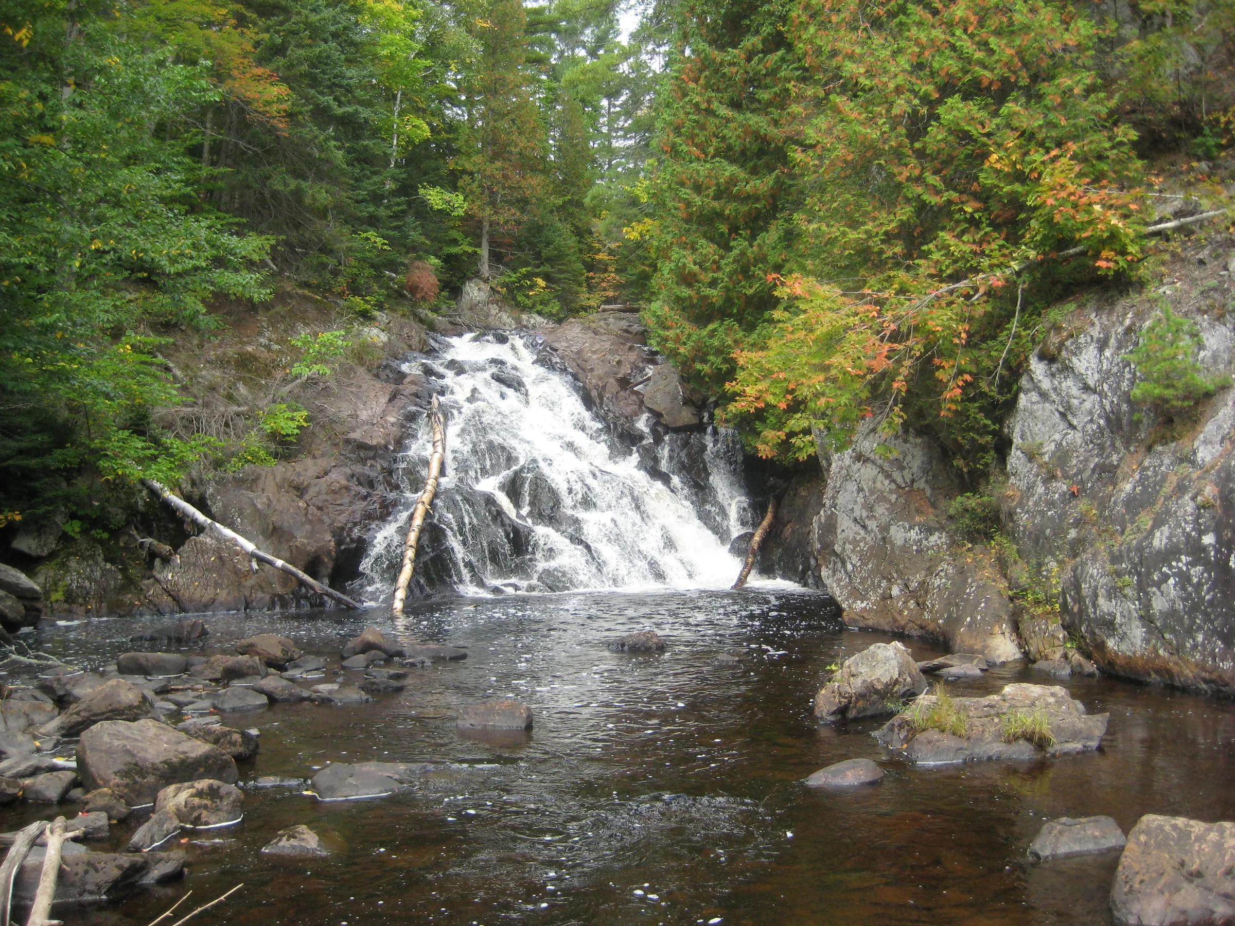
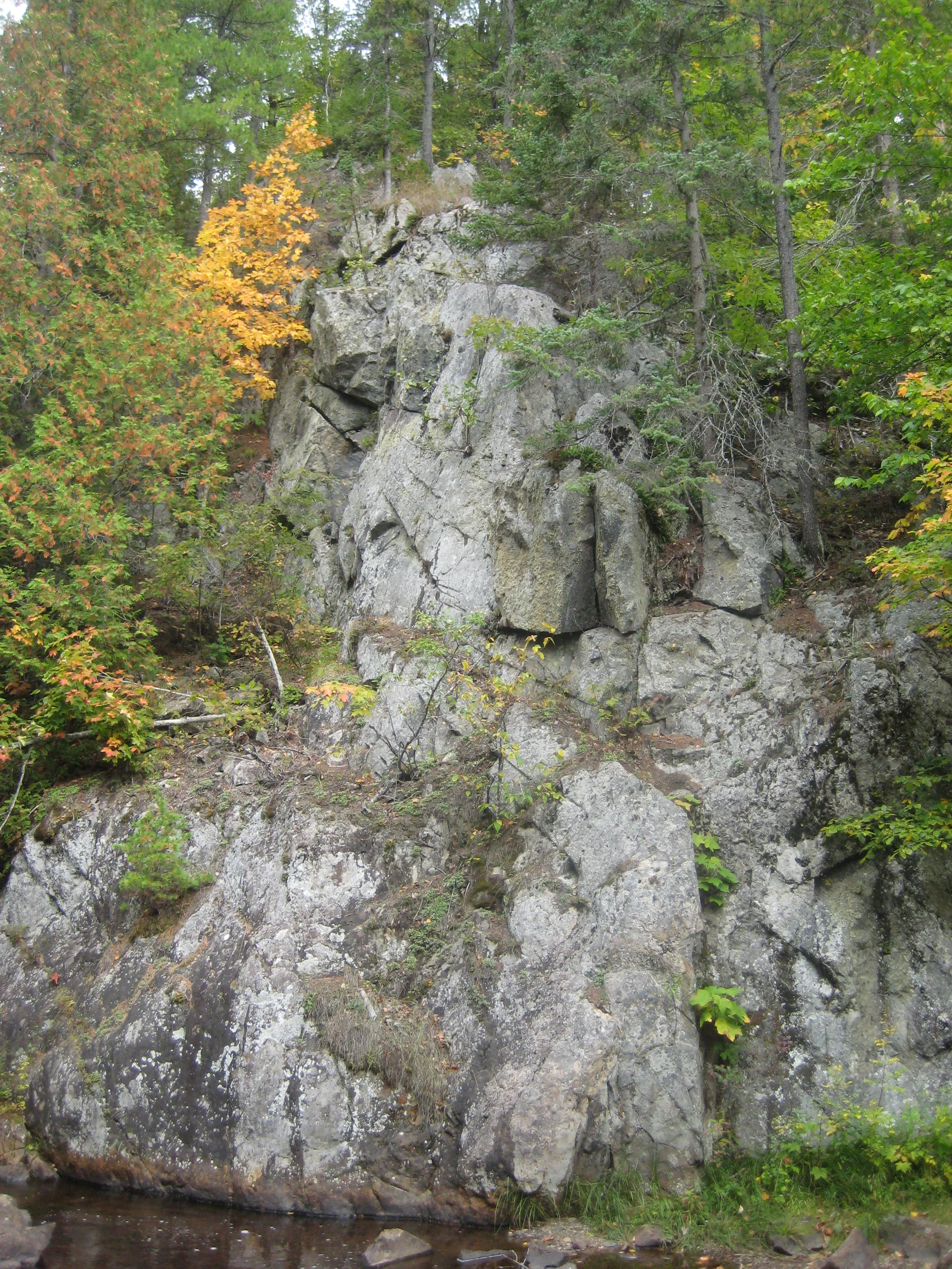
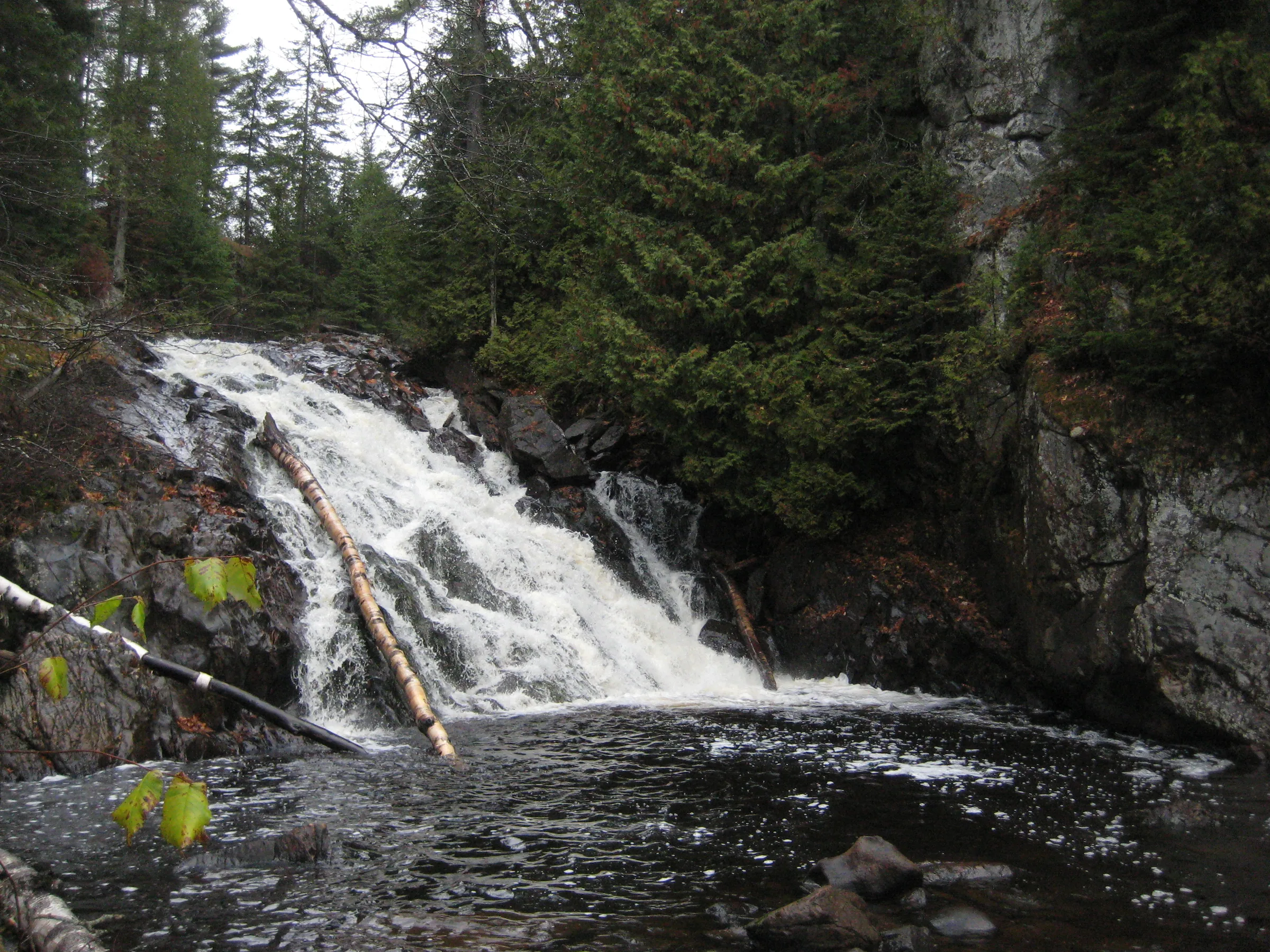
Pinnacle Falls flows between the tough northern rises of Mulligan Plains and a spire of rock that shoots up from the river bank. At the top of the waterfall an old timber crib sits, reminder of past logging days, before the river pours down a jagged slide into a deep, wide pool. The area around the falls is part of a protected grant, freely available for the the public to enjoy.
Directions
Starting at County Road 510 head west on the Triple A for 5.9 miles, slowly climbing up the sandy wooded plains until the road straightens like an arrow. Turn left at the small two-track, which has been marked by a ‘For Sale’ sign on previous trips, for 1.4 miles. Along this section the road bends to the left before forking, bear left at the fork for an additional .3 miles before turning right for a bumpy .6 mile drive to the parking area.
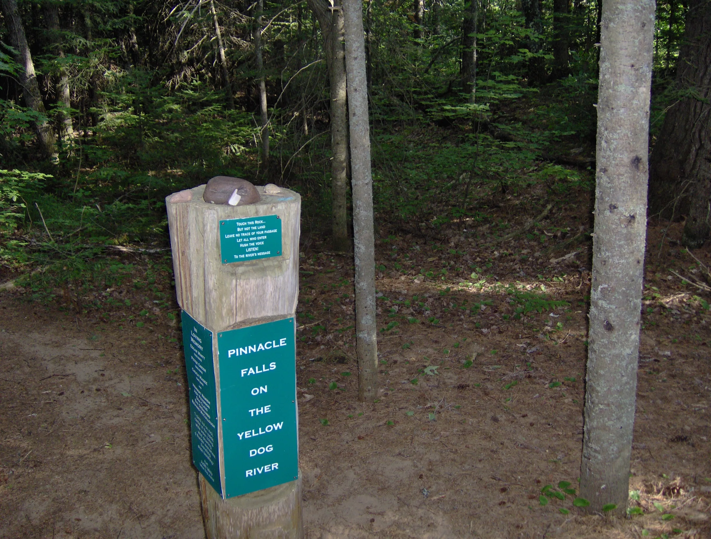
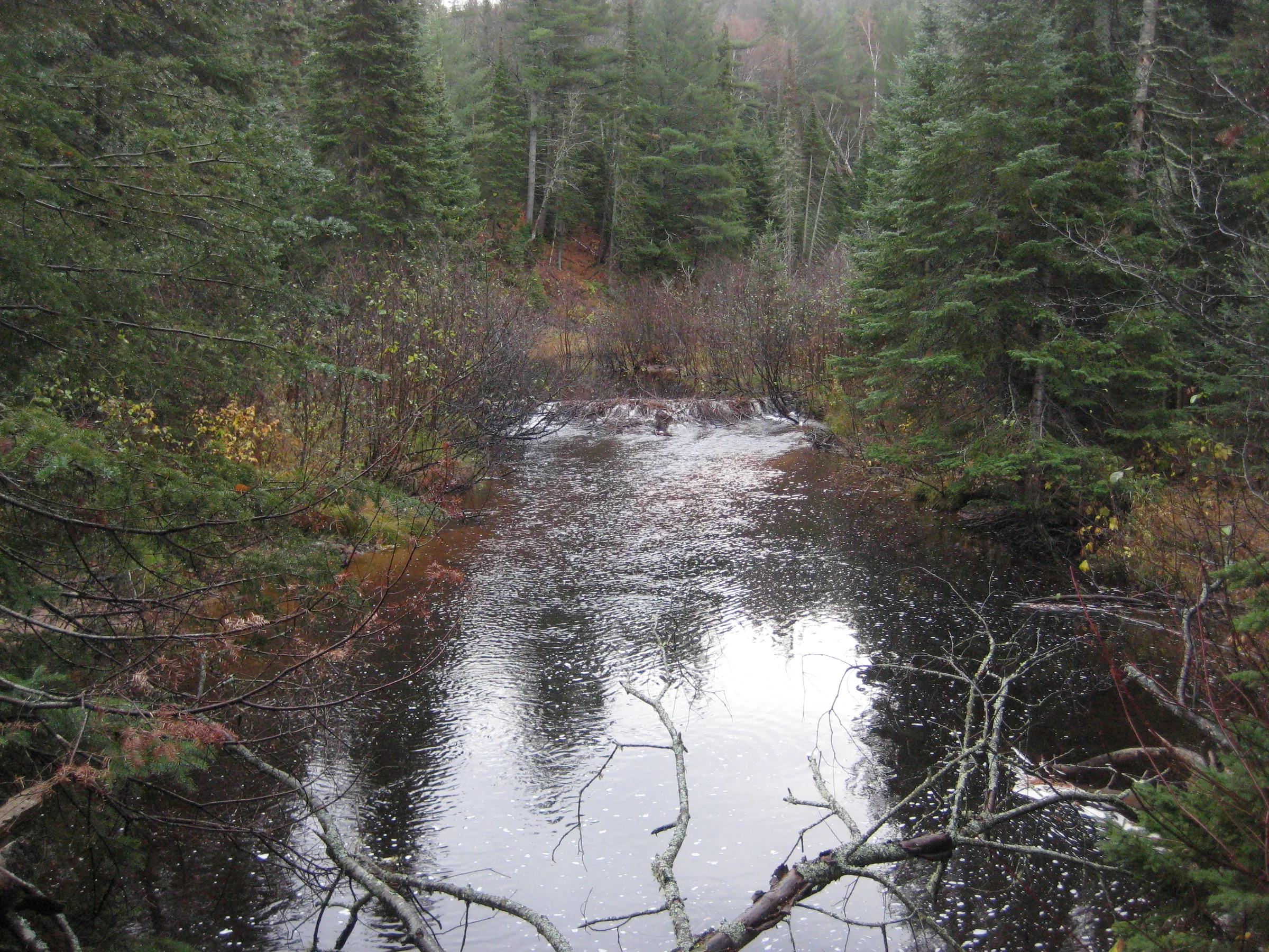
Head down the path at the end of the road, down a steep rutted trail to the bottom of the sandy river valley. At the post continue straight, as the right fork just heads to the river above the falls. Stay on the trail past the post, bearing left when a right fork heads up a steep path, circling around the base of the tall rocky pinnacle. The falls are on the far side of this outcropping. The footpath is fairly well defined, although summer growth and a lack of markers can make it a little hard to make out.
Photographs
Visits
Seen in July, September and October.
There was no time to spare. I left the tent and gear in the car and headed down the path to the falls. At the bottom I took a cursory photo of the rocky and rushing drop before skipping across the Yellow Dog on the downstream rocks. This was not the main attraction for the evening.
- bitterly cold, not quite freezing
When we reached the falls we all paused for a bit. This was one of the more impressive waterfalls I had taken these two to, especially considering the large outcropping nearby and remote setting. Faith and I decided to attempt a crossing below the falls and circle back around the timber crib above. Cory had headed back to climb up the pinnacle, and by the time we found him again he had fallen down it, rolling and tumbling down the steep rocky hill, dazed and confused.
The once-wide trail had narrowed by now with a footpath leading up a rocky spire and a smaller footpath going left and downhill. We all headed up the steep path, weaving around the small trees, and was greeted with a bird's eye view of the falls and river far below. The river runs far too tight against the pinnacle's sheer face on the east bank so we crossed the old logs of the timber crib and climbed down; there is a deep pool under Pinnacle Falls so we had to circle around a bit to find a rocky place to ford.
Pinnacle Falls was impressive. A tall slide over jagged rock, hemmed in by a sharp spire on the north side, it was well worth the dip in the river. Below the gorge rim was an impossibly thick swamp that reached out and grabbed at us, so I waded maybe a quarter mile up the river instead; most of the water stayed below my waist, but a few stretches came up to my chest and I had to loft Logan above my head. We climbed back up on the bank right before the water pours over an ancient timber crib above the falls.


Comments
4 comments
Since paving/rebuilding AAA, getting to Pinnacle Falls is extremely easy now.
Hi Amie! Thanks for the update - is the road off AAA to the trailhead still kind of rough, or has that been trimmed back / cleaned up?
Sorry! I just saw this response. The trailhead is pretty clean. There's a little parking area for a couple of cars. The trail itself is the same, if not more rugged on the steep areas and overgrown in some of the flat areas.
The turnoff off of the paved AAA road is now called "Pinnacle Falls Road". If you are on the right road, you will quickly come to a gravel pit area. From the gravel pit area, all of the intersecting two tracks now have wooden signs pointing to the falls. The parking area will accommodate maybe four cars. When I went three years ago, the trail was very rugged with the parts that steeply descend into the valley quite washed out. You had to really watch your footing.
Leave a comment