Now armed with a GPS I wanted to start re-visiting the more easy-to-reach waterfalls this winter to make sure that I had accurate coordinates of them. Steele, Logan and I decided to go exploring out past L'Anse on a snowy afternoon to do just that. Steele's jeep was proving to be a very capable vehicle for handling the winter roads, plus we had had a fun afternoon on Slate River last summer. Today I hoped to get the location of Silver Falls and, maybe, adventure up a snowy Slate River Gorge to mark those four drops.
The drive down was quick and we were before the access road. The snow in Baraga was deeper than some of our Keweenaw hikes from last week, which made the idea of tackling this unplowed access road a bit daunting. Steele knew what he was doing and approached the deep road directly at a steady speed. We made it to the parking lot fine, although the snow was deep enough to make opening the doors a bit difficult.

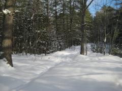
Fluffy snow along the path
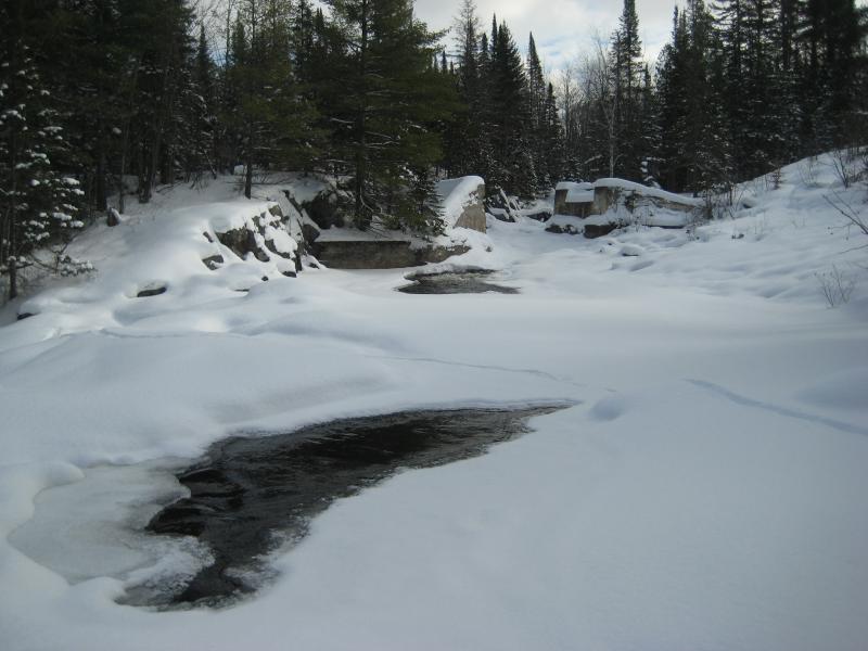
Today was bitter cold. I quickly marked the location of the top chutes, not willing to spend the time climbing down into the narrow icy channel for pictures or a more accurate point. Almost everything was covered in large mounds of white fluff anyways, a few patches of dark water poking out in spots, with the waterfalls only barely audible. The patches of open water began to grow as we headed down to the lower drop.

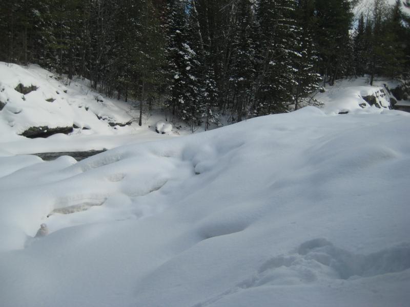
A hidden river
While we were walking along the river I began to worry about Logan. I was not sure if he would be able to sense the danger lurking underneath the snow, the cold water lurking under the thin ice. He ventured out a bit farther than I would have liked but seemed sufficiently cautions, creeping over the snow and nosing the open breaks from a safe distance. His wide stance and big paws spread out enough to not put a lot of pressure on the ice on spots where I'm sure Steele or I would have plunged through easiy.
After a quick visit to the lowermost chute and drop we turned back towards the Jeep. I wanted to get a good read on the uppermost falls, the relatively unknown drop near the old railroad crossing, though I didn't want to risk the drive over. Its a short ten minute walk anyways, even with the deep snow.
We followed the road over and then cut up on the bank once we reached the river's edge. Trudging along this bank was difficult, steep grades hidden under the deceptive fluffy snow. After several sloppy mistakes we did make it to the top of the upper falls within a stone's throw of the old railroad bridge foundations. The drop was completely covered in snow. Only a small pool was exposed on top, showing me where the watefall started, and that was it. I got my coordinate and we left.
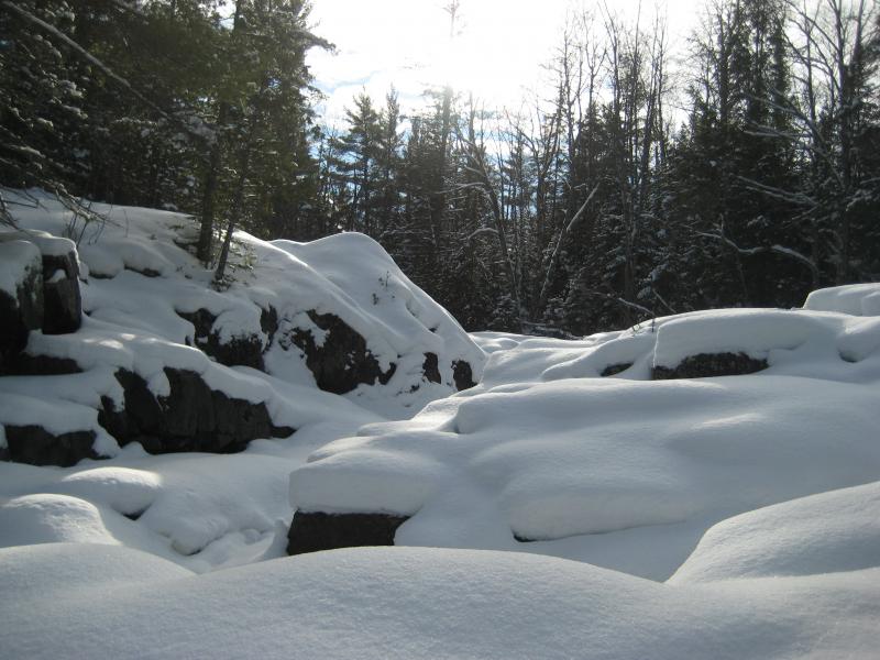
Dangerous rocks and ice hiding ahead
On the way out Steele cut one of the turns too sharp and we sunk into the ditch. While he rocked us back and forth I contemplated our situation. We were reasonably close to the main road, less than a half mile away, and there are plenty of houses along this stretch of Skanee Road. It wouldn't be hard to get help out. However, Steele was able to rock us free, spraying a large geyser of mud and snow as we roared out.
There wasn't enough time to tackle something as ambitious as a snowy Slate River Gorge today so I suggested something different. The new roads I had ventured on this summer beyond Big Erick's Bridge; the Ericks, Northwestern, and Ford Road; were unimproved though they did have cabins on them. Some of those cabins may be year-round residences and, just maybe, have plowed roads leading to and past them. We headed out east. The quality of the plow job steadily decreased as we headed down Skanee Road and once we passed Big Erick's there was barely enough room for two vehicles to pass in most sections.
The roads were plowed to Ericks Road, down the fork that leads over to Bald Mountain and the Little Huron River. We tried continuing on further down to the Northwestern, as someone had attempted to plow beyond with a small bulldozer, but we didn't make it far. The farthest I could get travel east this winter was East Branch Falls. The waterfalls of the Yellow Dog Plains appeared to be locked up until spring.


Comments (0)