
Gabbro Falls
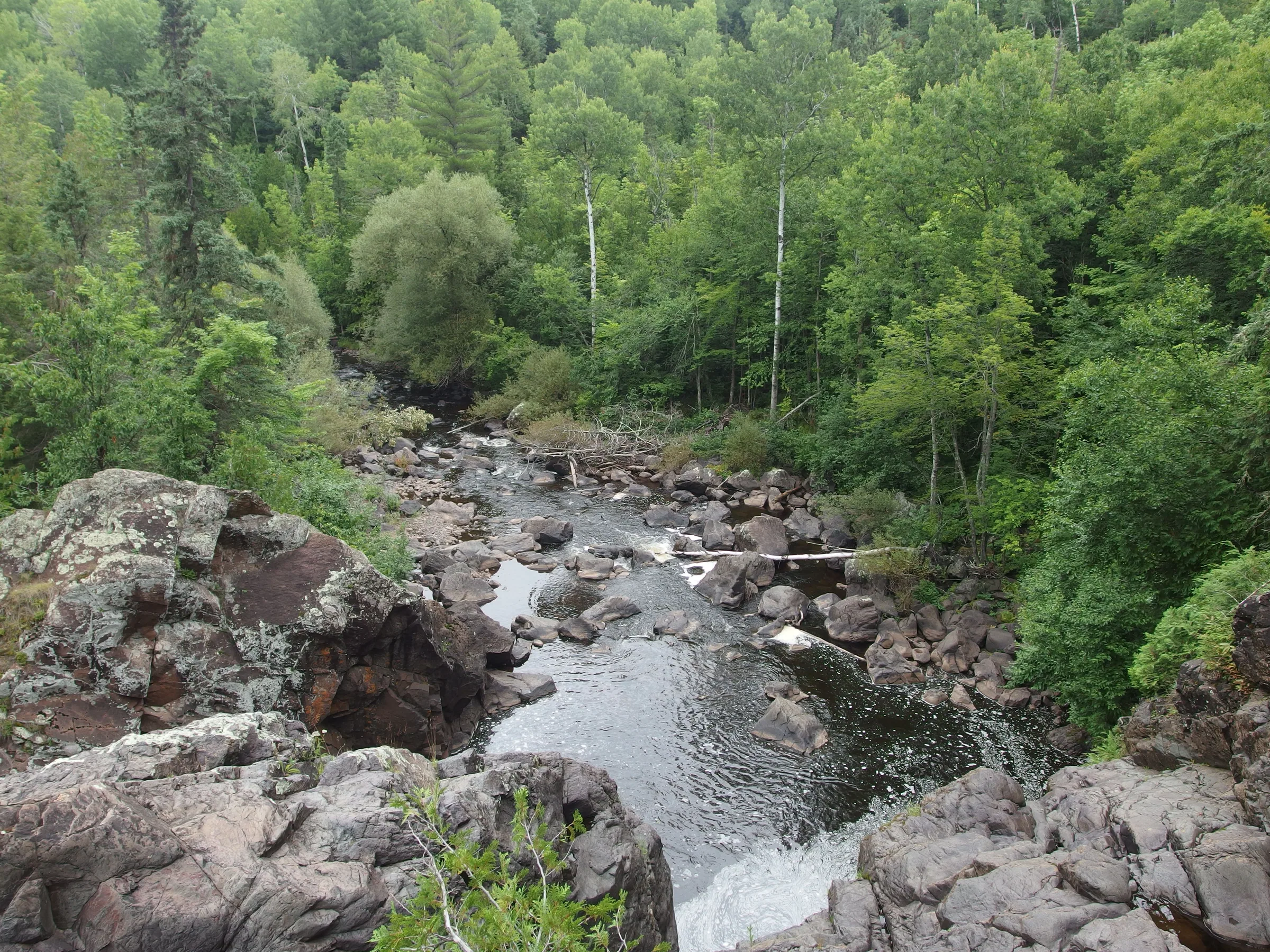
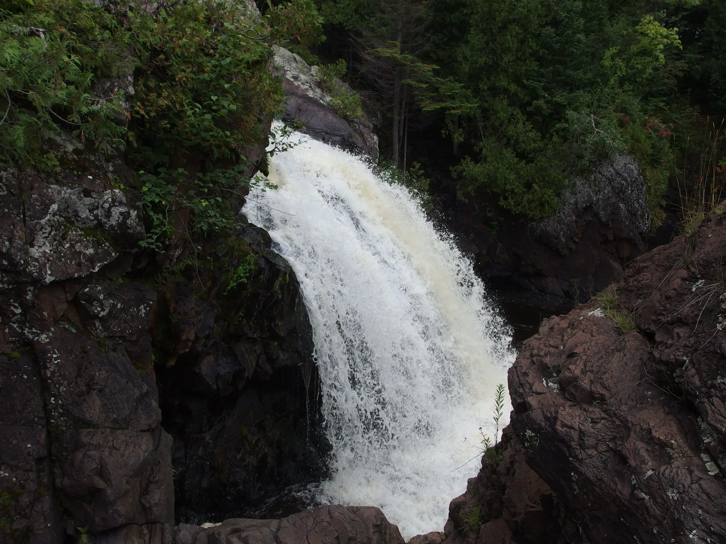
As the Black River flows north past Blackjack Ski Resort it tumbles over a substantial outcropping of basalt to form an impressive multi-tiered waterfall. Water pours down into a jagged, offset crack before pooling and twisting down some lower drops. Due to the offset the waterfall is difficult to view directly, though the roar and mist emanating from the crack is more than enough to make up for the indirect angle.
Directions
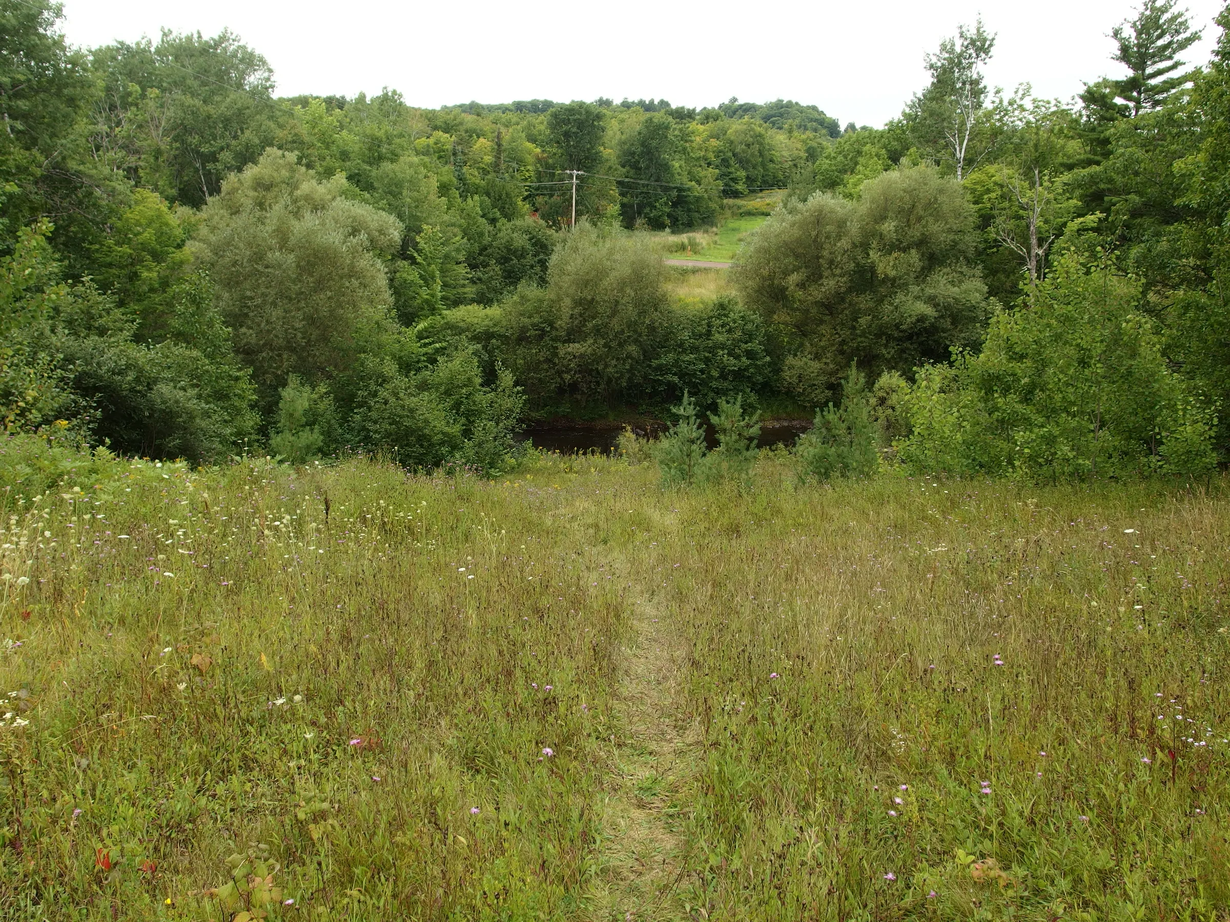
Take Blackjack Road north from US-2 (about 3 miles east of Bessemer) for 1.5 miles. Three cleared routes cross the road, the last one with powerlines along it. Park at the last one and head left (west) to the river. Follow the loose path downstream to the falls, which should be loud enough to easily draw you out of the woods.
Photographs
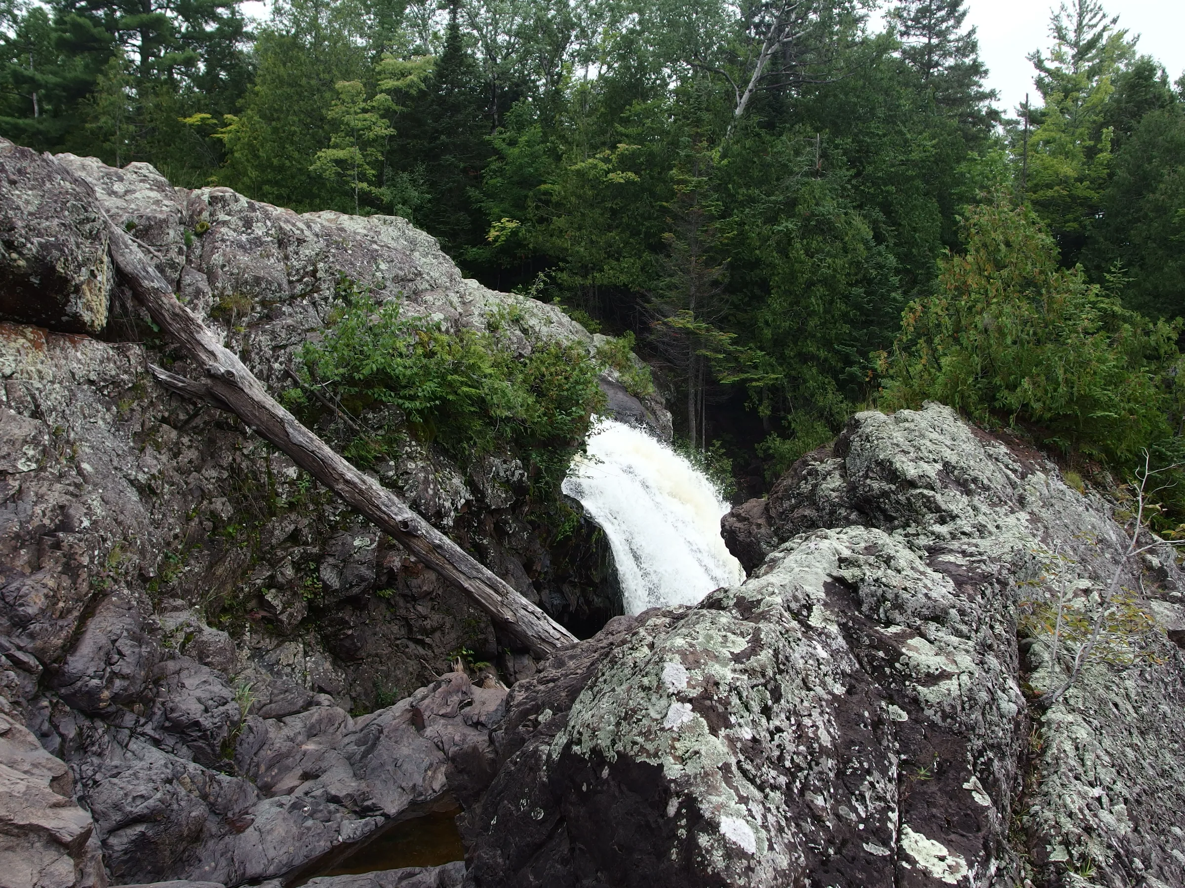
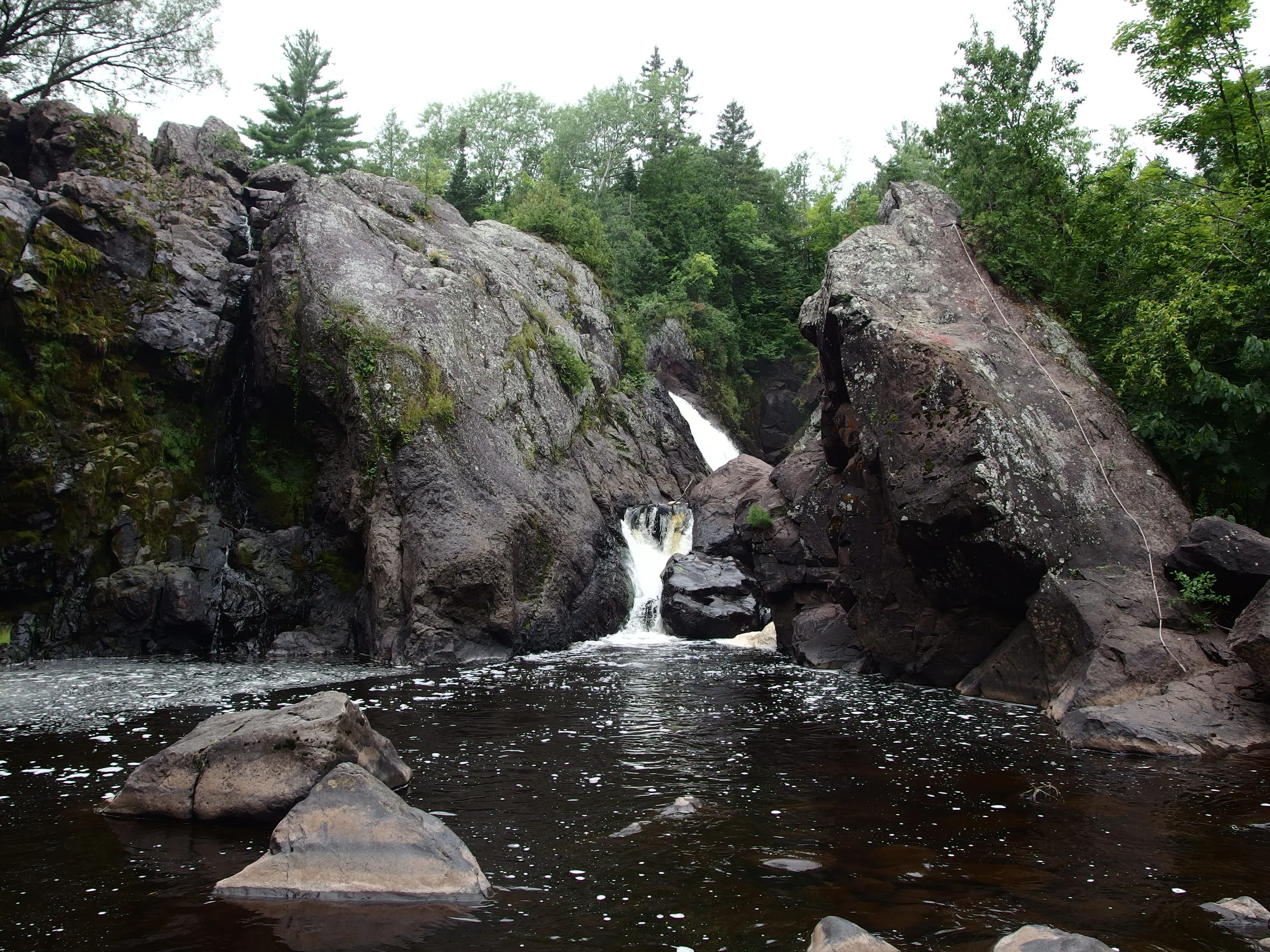


Comments
9 comments
For some reason no directions can get us to gabbro falls. We met people in another car that also were looking for it with no luck.
Ah, that's too bad! The only help I can give is that it's the last (northernmost) of the three clearings that cross the road, about 1.5 miles north of US-2. There's no sign and the path is hard to make out, which makes it a bit tricky to pick out.
To reach the waterfall head north on Blackjack Rd from US 2 in Ramsay. Head north for about 2 miles. Blackjack Rd takes a sharp left and goes over a wooden covered bridge. From this point on the road is gravel. Continue to the left (you are still on Blackjack Rd) and head up the hill. You will be heading roughly south at this point. At the top of the hill there will be some old, run down looking buildings on the right. Turn around, and park opposite the buildings. There are some obvious trails. To reach the top of the falls, head to the right. To reach the base, head straight.
Thanks Jess! This must be the west approach, sounds like the trails are much easier to follow.
I think the call confusing part of the directions is when you come to the ski resort go to the left. The road you want is straight ahead next to the brown building. My husband and I were visiting in the winter, this road looks like a snow mobile trail. Once at the top of the hill, the trail is on your left across from the run down looking buildings. The road also says Dead End, and on a side note, the bridge is no longer a covered wood bridge.
Thank you for the update, Trish. Personally never approached it from the west so your notes are v helpful :)
Up the hill from the ski resort, there is a open sided structure on the right. Basically a roof for storage. The falls are on the left, you can hear it. Small trails lead you to it. It is step to get to the bottom.
If you get to a sign that says something like off-road vehicles only at a fork, you have gone too far.
To view the eastern or lower side from below at river level, approach from US-2 & Blackjack Rd and park on the right just before/east of the bridge that's just before the ski area, about 1.8 miles from US-2. To the left across the road is a foottrail with a sign to the falls. Take the foottrail upstream about 1/3 mile to the falls, which could be dry during lower flow. Then hop back in your car and continue about 1/3 mile, over the bridge and around to the left past the ski area, to the small pullout and trail on the left partway up the hill, across from the old storage buildings, to see the upper side, as indicated in the previous comments. Was there in June.
Take it from a native, access from west on Black Jack Rd as Trish says is not only the most simple, fastest route, in my opinion, it offers the best most dramatic views of the falls.
Leave a comment