
There was something bugging me about Canyon River Falls. I had visited the roadside park twice this summer, the second time walking the full length of the canyon to where Sturgeon River empties into a swamp, but something nagged me abut Upper Falls. This waterfall is marked on topographic maps about a mile west of US-41, far downstream of the main falls. It didn't make sense - why would an 'upper' falls be downstream of Canyon River Falls, and wouldn't that distance stretch beyond the end of the canyon? Could there really be a waterfall in that swamp? I decided to check things out on a muggy weekday evening.
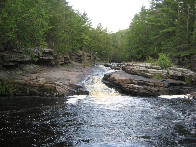
Logan and I made quick time to the park, walking quickly down the path and bypassing several groups of visitors on the way in. While the small, excited puppy liked to make friends we were there to find Upper Falls, not wander around. We made good time to the end of the canyon with the long, sliding drop that Sturgeon River pours down.
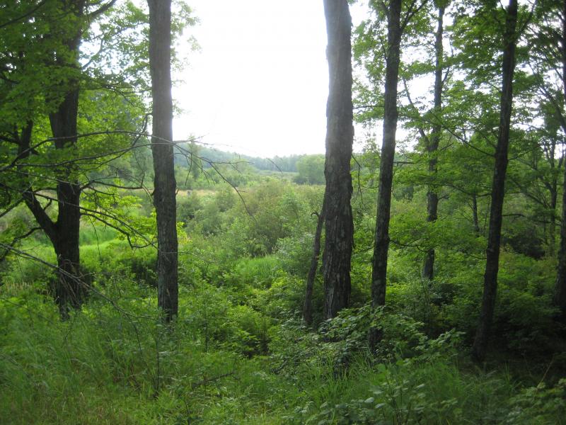
A dry waterfall
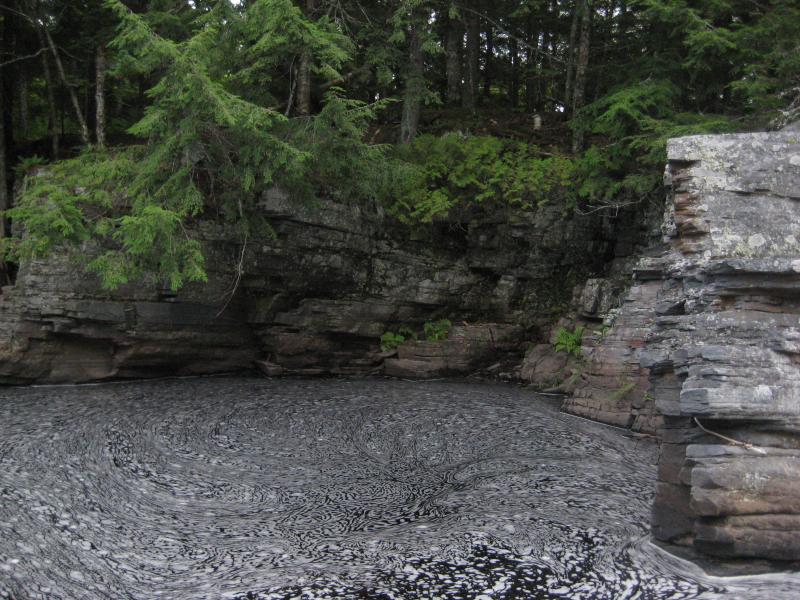
Our path mostly died out here. We were able to pick our way over the rocky riverbank and continue downstream with the water. It wasn't the fastest route, jumping from rock to rock, though it was kinda fun for both Logan and I. We cut out a few of the larger bends but stuck pretty close to the river for a good half mile below the canyon. There was no falls. Slowly the rock-strewn river turned into a muddy swamp that forced us out onto the overgrown banks.
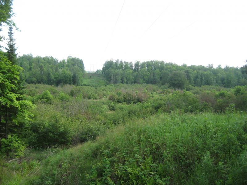
When we neared a powerline that stretched over the river valley I led us away from the river and up the cleared slope, hoping to get a good view of the area. The narrow box canyon had widened to a flat, swampy valley that looked incredibly unlikely to have any rapids or drops within. Still, I wanted to be thorough and pushed us on along the riverbank, above the swampy river, until we ran headfirst into marshy creek flowing in from the north (Plumbago Creek). I didn't have a map on me so I wasn't sure just how far west I was (over two miles from US-41). Still, the creek was the turn-around point. There was no more falls here, not until Tibbet's Falls.
Even more swamp downstream
On the way back we stopped at the lower entrance to the canyon. This had to be Upper Falls. I don't really understand why the downstream exit would be called upper… It may be related to where you can safely put in a canoe below the rugged drops and twists upstream or somehow tied to Tibbet's Falls downstream. Wherever the name came from we knew for sure now: we knew where Upper Falls was.

Comments (0)