
Marshall Falls
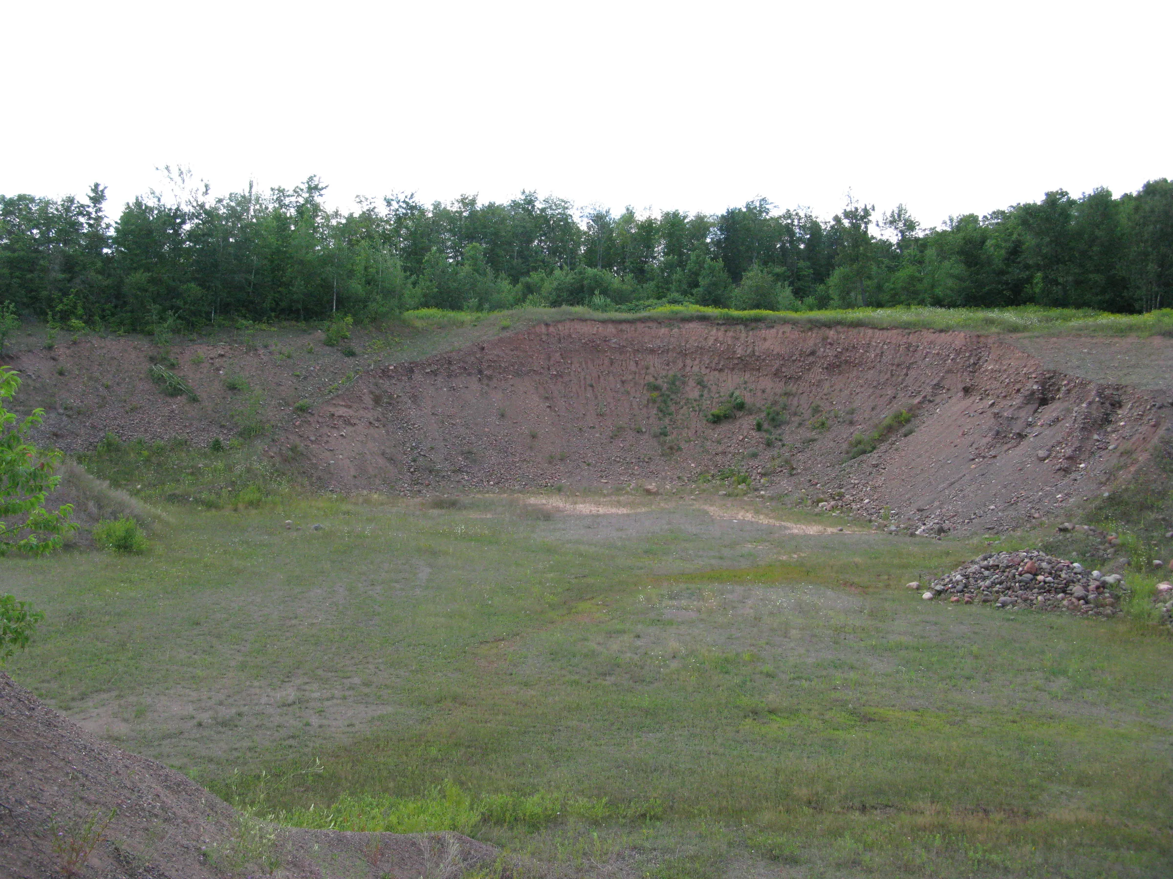
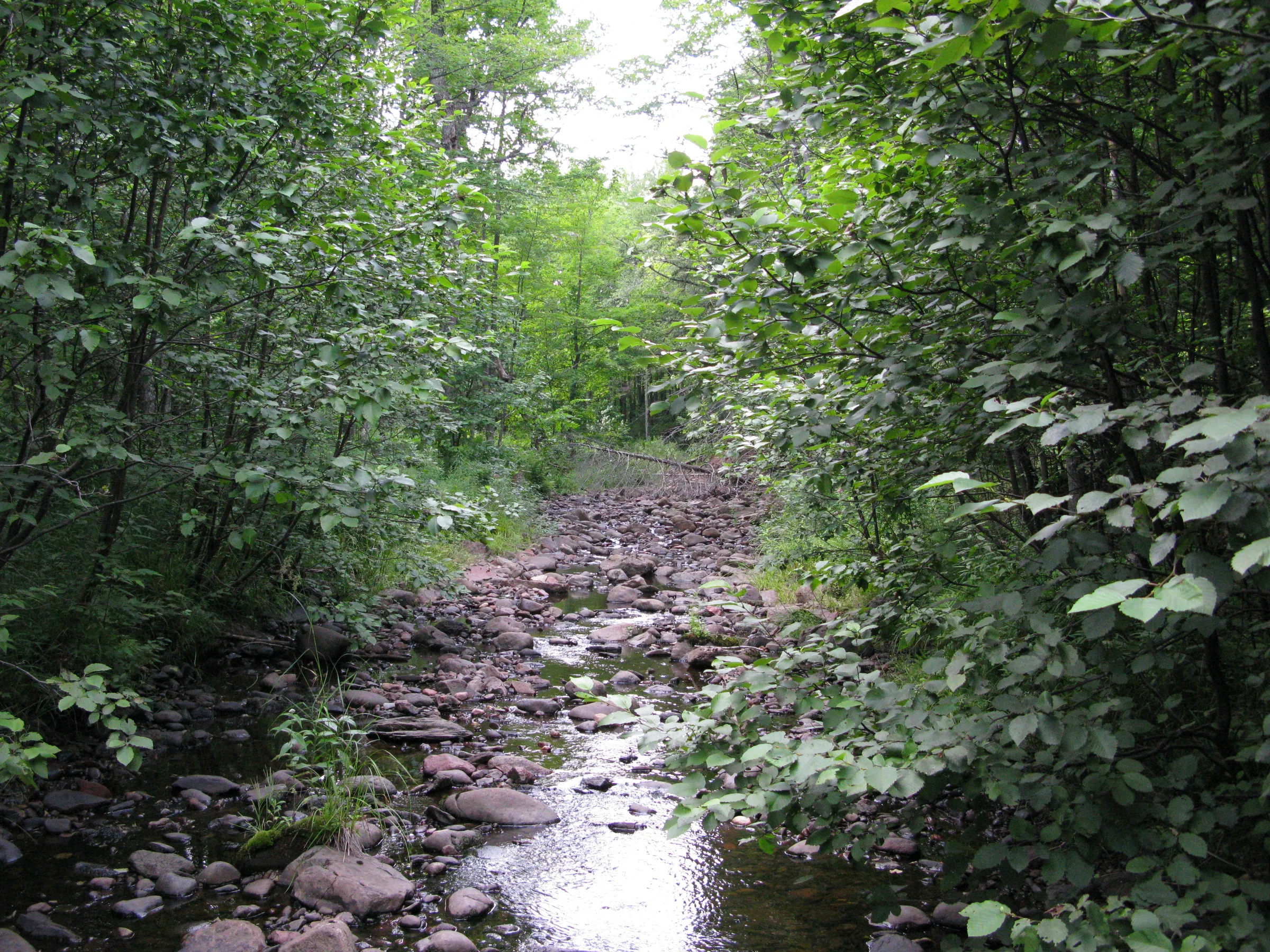
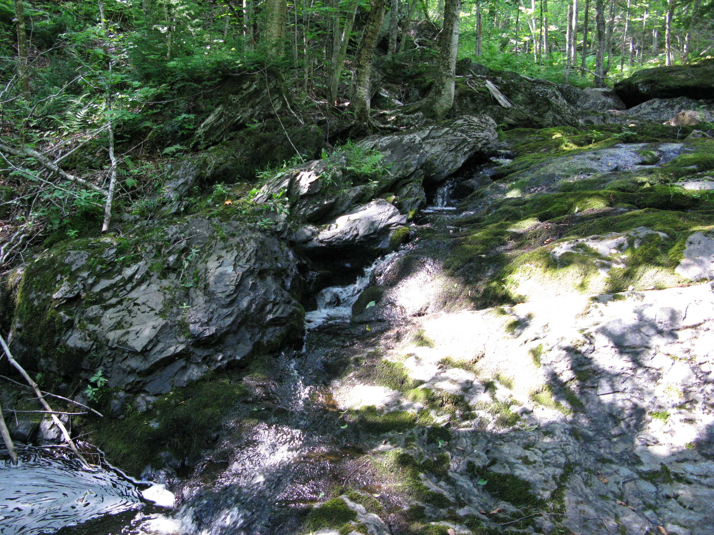
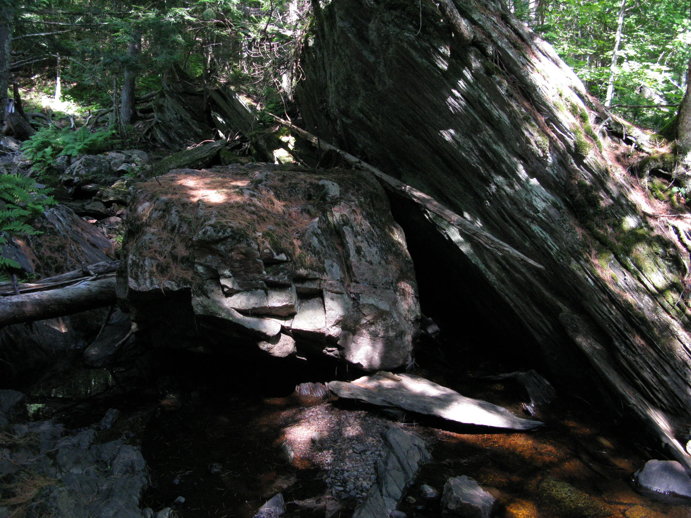
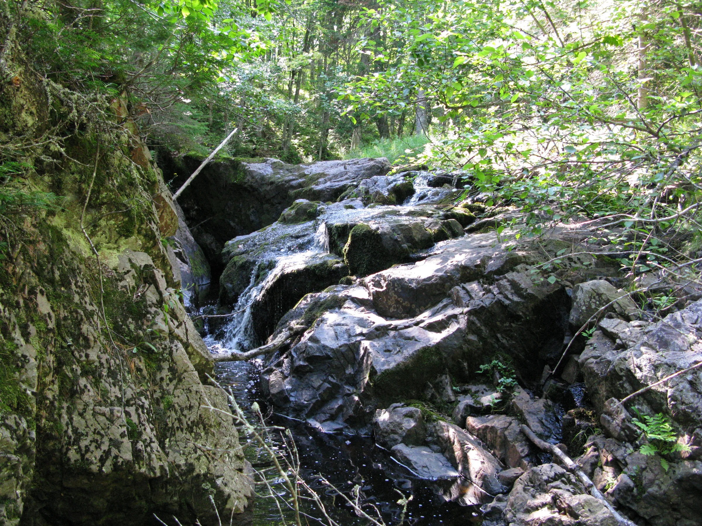
Marshall Falls is a set of drops on a small creek west of Ice House Bay in Lake Gogebic. The creek, which is reduced to a trickle in the summer, descends over giant tortured rocks along narrow mossy chutes and plunges before calming down near a gravel pit and flowing, sluggishly, into Slate River.
Directions
The gravel pits on either side of the creek are often gated shut, so the better approach is from the west. About a half mile west of E Shore Road on M-64 — roughly 4.2 miles from US-2 if you are coming up from the southwest — a two-track forest road, FR-8915, heads north. Follow it a third of a mile to a two-track on the right, where FR-8915 itself curves left. Park here. Three large berms now block that two-track; the first might be passable but the second two are not. Walk the two-track a little over a half mile to where it crosses the creek. All of the falls are upstream of the crossing.
If you would rather try the old route, head down the two-track on the north side of M-64 near E Shore Road into the gravel pit. There is a pit on both sides of the creek, and the east one appears to be less active and make a better approach. Head north up the pit, keeping to the left side, cutting off to the creek near the end of the pit.
Photographs


Comments
4 comments
Unfortunately, the gravel pits on both sides of the creek might be gated shut, discouraging entry. Fortunately there's an alternate route close by if you want to avoid the pits.
About 1/2 mile west of E Shore Rd on M-64 is a two-track forest road heading north, FR-8915, which is also about 4.2 miles from US-2 if you're coming from the southwest. Drive about 1/3 mile on FR-8915 to a two-track on the right as FR-8915 curves to the left. Follow this two-track, which was pretty spongy when I was there last October, for about 1/2 mile to the berm at the road's end. Walk past the berm along the trail 150–200 yards to the creek and upstream to the lower drop, and another 50 yards to a larger second falls. Continue upstream 1/4 mile or so to the upper falls.
Thanks for the update, Eric!
We tried taking FR-8915 today to see the falls, but were cut short by opener of bear hunting. There was a bait pile right at the end of the logging road so we decided to pack up to reduce an unexpected visitor.
Take fr8915 off 64. Go 1/3 mile to a two-track on the right. You will have to park your, there are now three large berms preventing driving down it. The first is probably passible, the second two not so much. Follow the two track a little more than a half mile to wear crosses the creek. All the Falls are upstream from the crossing.
Leave a comment