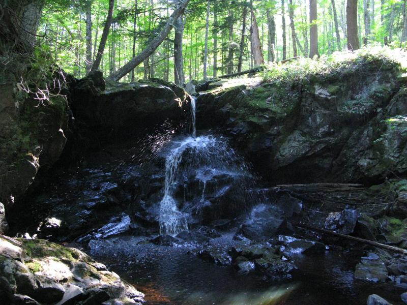

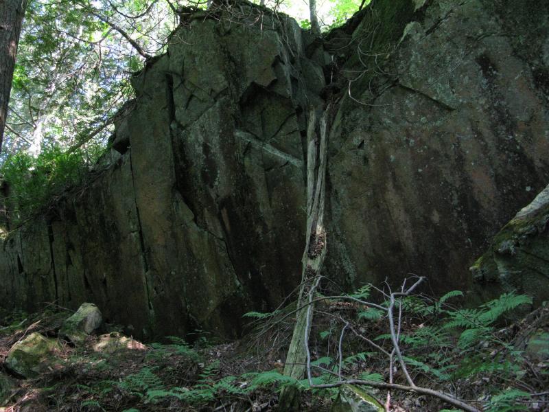
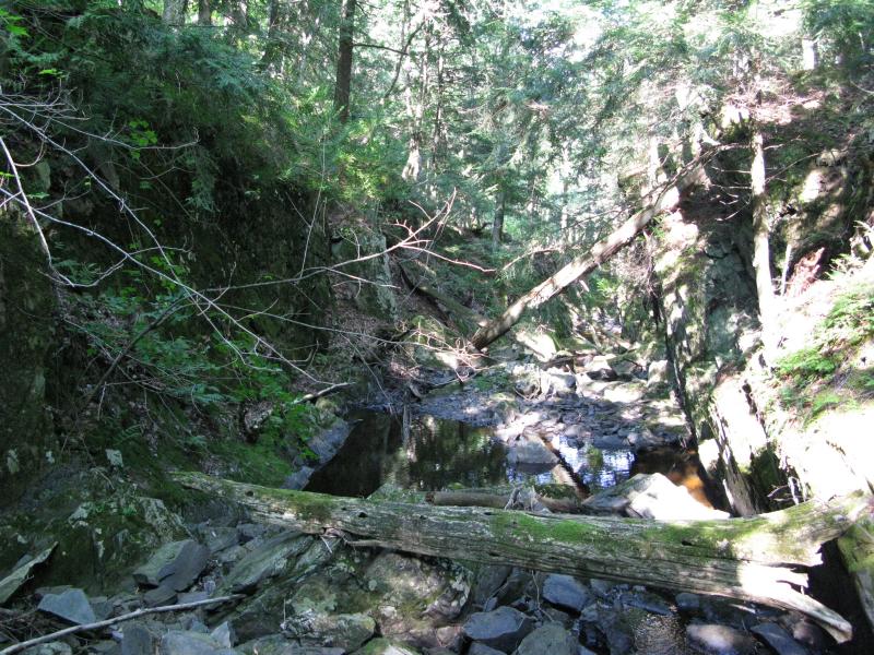

Nelson Creek slowly drifts through a peaceful wooded area before suddenly plunging down an overhanging shelf and splattering loudly on the rocks below. The drop is small but surprising in the otherwise calm woods. Downstream the creek continues, within a sharp canyon for a while, then slipping away into Slate River to the east. A small camping site is located right above the falls.
Directions
From Bergland head east on M-28 and turn south on M-64, following the west coast of Lake Gogebic for 15.4 miles. Turn left CC and drive another 1.5 miles before parking at a two-track leading east on the left side of the road.
Walk along the track, taking the first fork a short distance from CC, for about .75 miles. Bear left at this fork down an overgrown trail, now heading north, for another .25 miles. The trail will fade away to nothing. Continue north to the creek and falls. If you cut too far off the trail just veer left at any point, as thise route runs parallel to the Nelson Creek. Follow the creek downstream to the falls.
-
Jacob Emerick
Oct 4, '15
Hi David, thanks for the update. I wonder why the rangers don't clear out this trail. It's a pretty short hike and would make for a good thing to feature for the Ottawa. Anyways, thanks again for the update on the trail conditions and advice!
Add to this discussion