
Lower Dam Falls
Access The dam and its spillway are gone. The Forest Service drained the reservoir in 2018 and removed the dam in 2024 to reopen the East Branch Ontonagon, so nothing on this page still exists except the river.
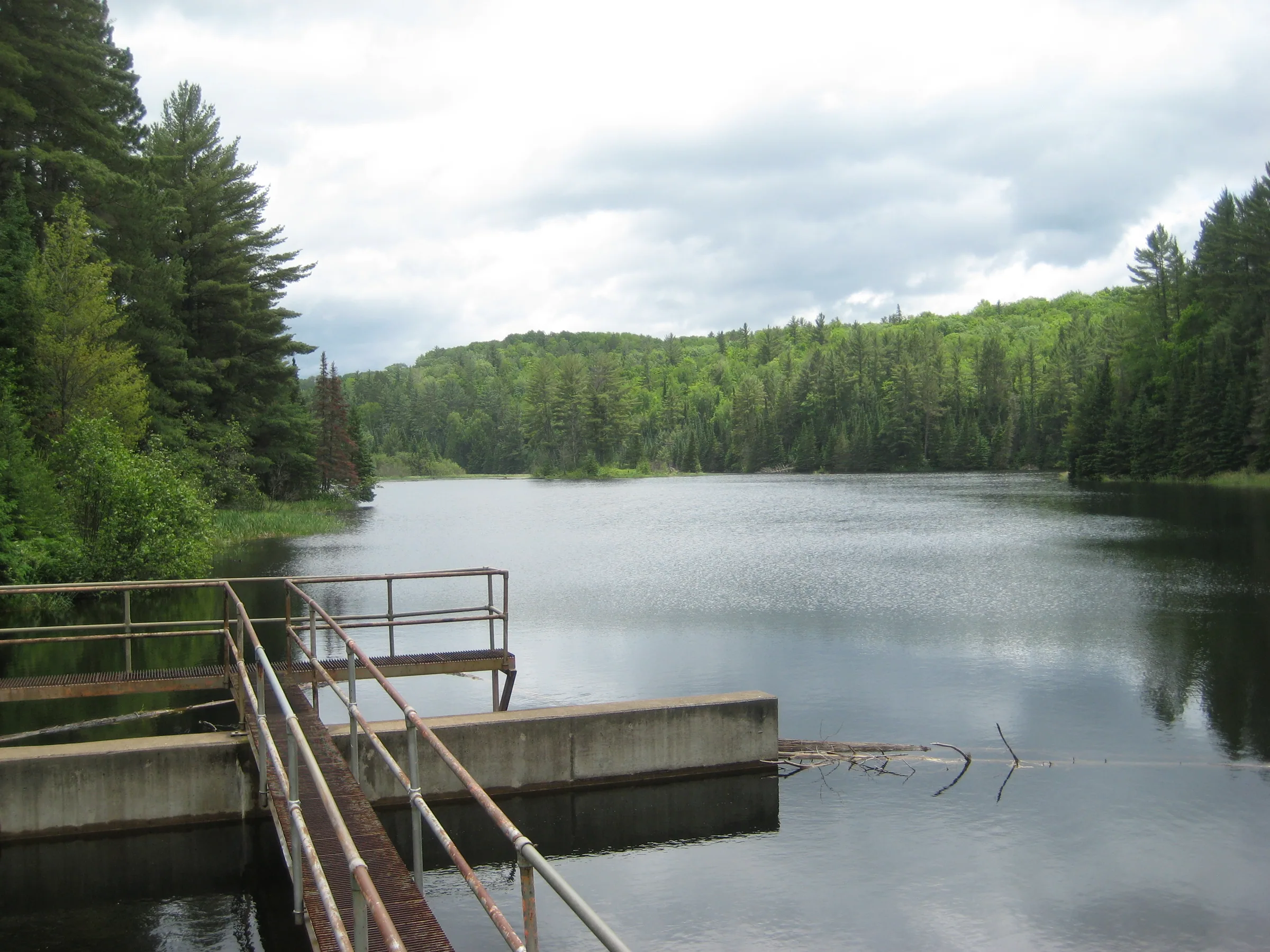
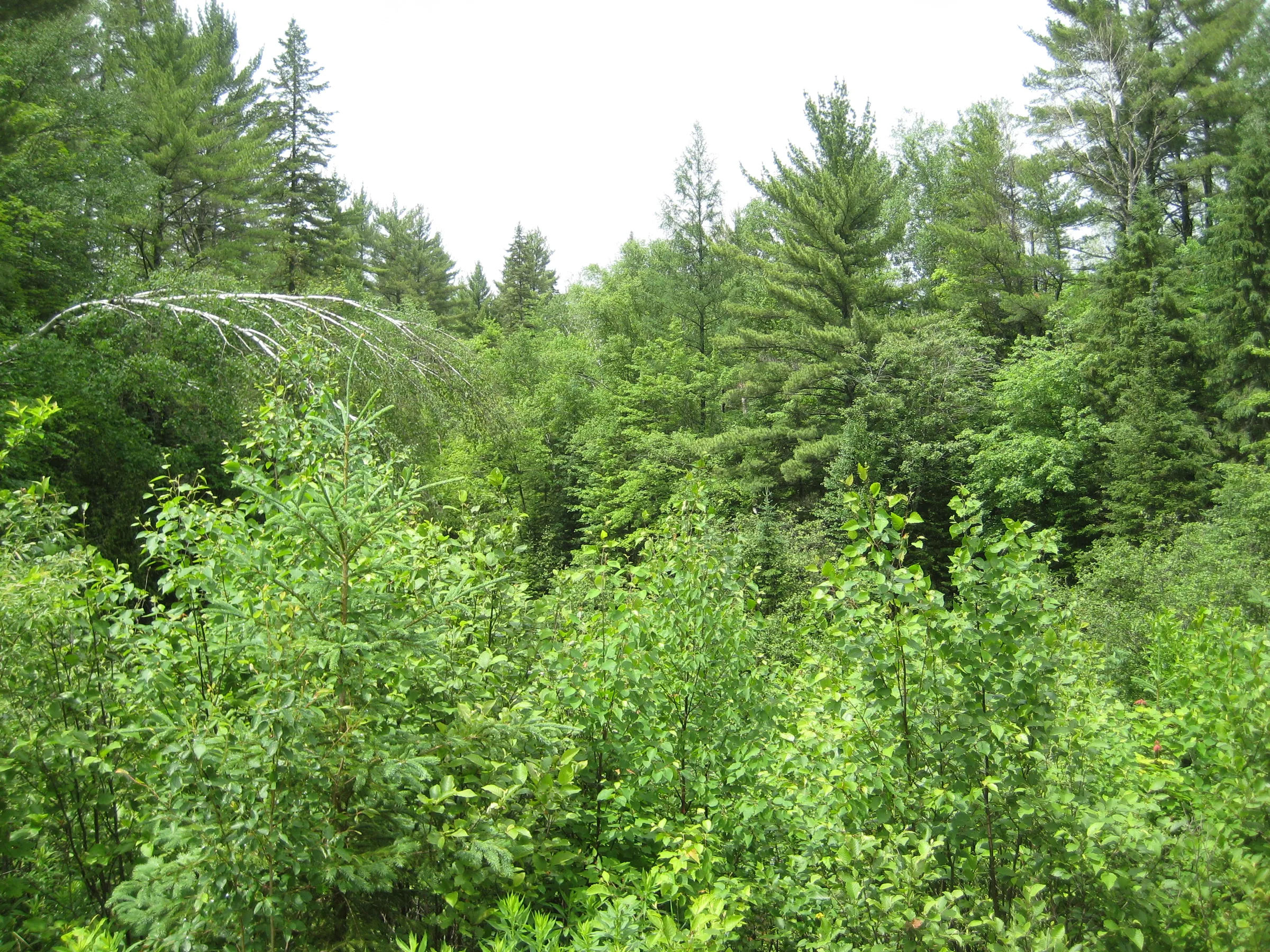
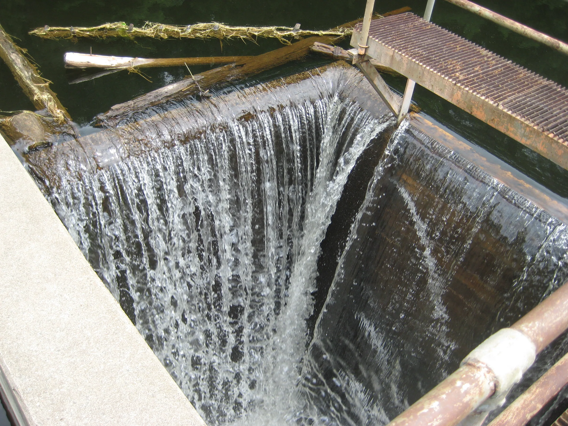
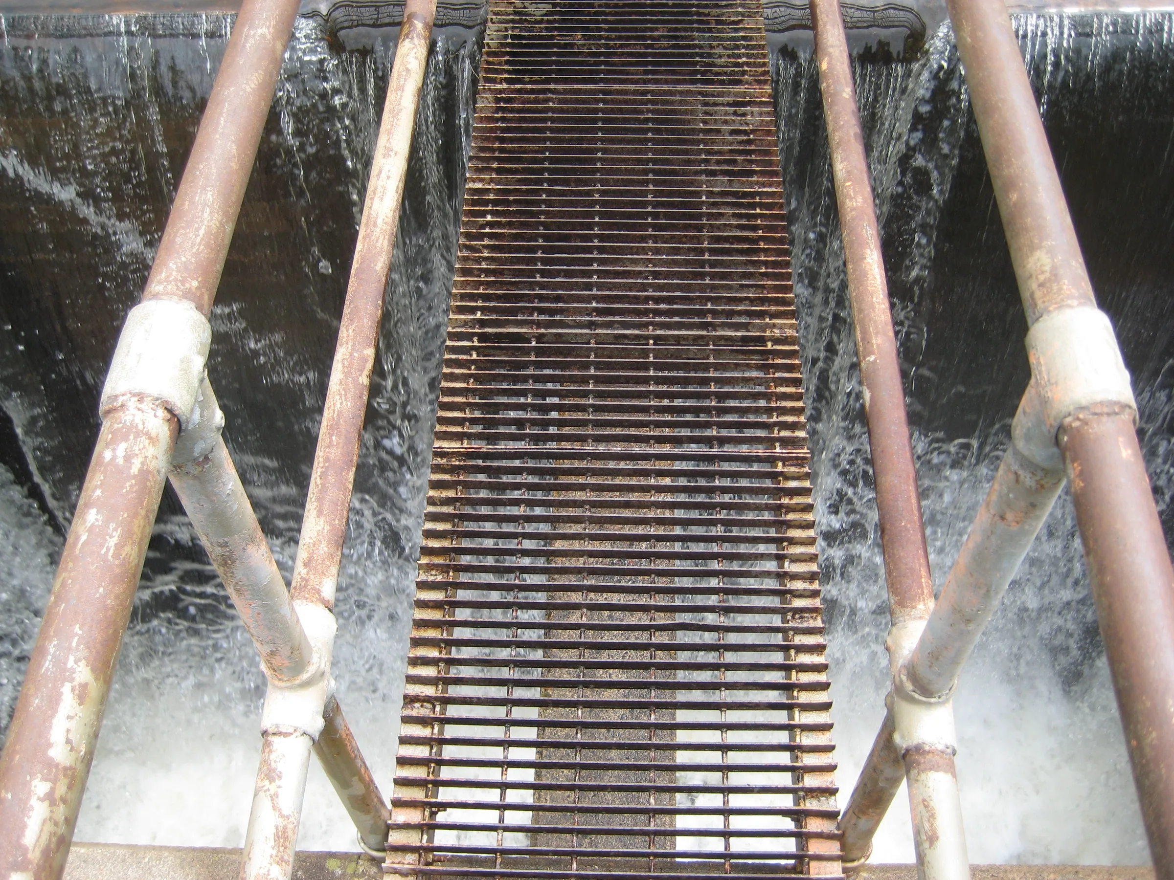
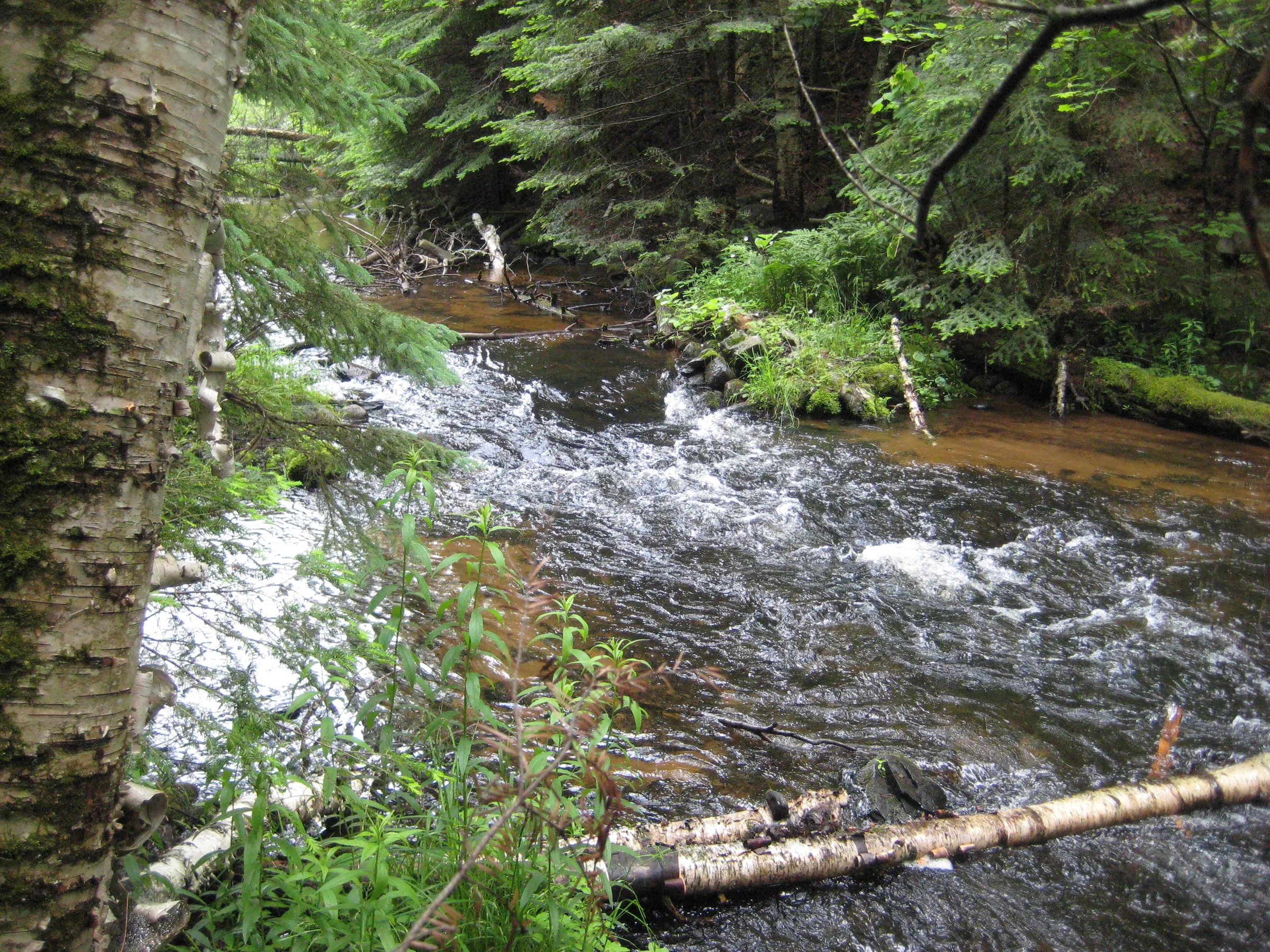
Water once spilled from a retaining pond into a vertical chute a few yards from the dam’s earthen wall. A small park sat here on Lower Dam, with some small benches and parking area, and a metal walkway stretched across the chute. Lush green woods follow the sandy East Branch Ontonagon River downstream from the dam site.
None of that is there now. The earthen dam dated from 1963, the Forest Service drained the sixteen-acre reservoir in 2018, and in the summer of 2024 the dam and its concrete came out to reconnect eight miles of the East Branch, a designated Wild and Scenic river, for fish. This was never a natural waterfall, but there were hints that one lay buried under the reservoir, and with the water gone the old riverbed is open to anyone who wants to go and look.
Directions
Leaving Sidnaw on Sidnaw South Road, turn right on Lake 13 road and follow it for 3.2 miles before turning left onto Lower Dam Road. Park near the old dam site, about a mile south. The dam, the walkway and the spillway are gone, so this is now a walk along a recovering river rather than a visit to a drop.
Photographs
Visits
Seen in June.
There was no waterfall. There may have been once, with plenty of rock formations and a narrow river valley, but all that's left now is a narrow cement shaft with water pouring down it. I searched downstream for a few hundred feet and found only a sandy riverbed and dozens of spiders.


Comments
2 comments
You might want to state that this no longer exists. So sad.
Lower dam does not look like that anymore. They are digging it out. All the concrete has already been removed. And I have no idea what they're doing with the rest
Leave a comment