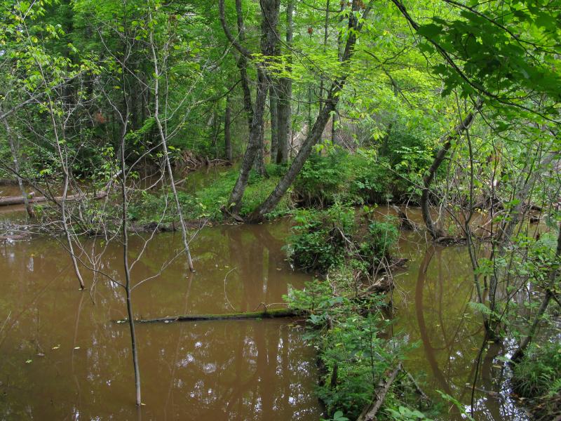

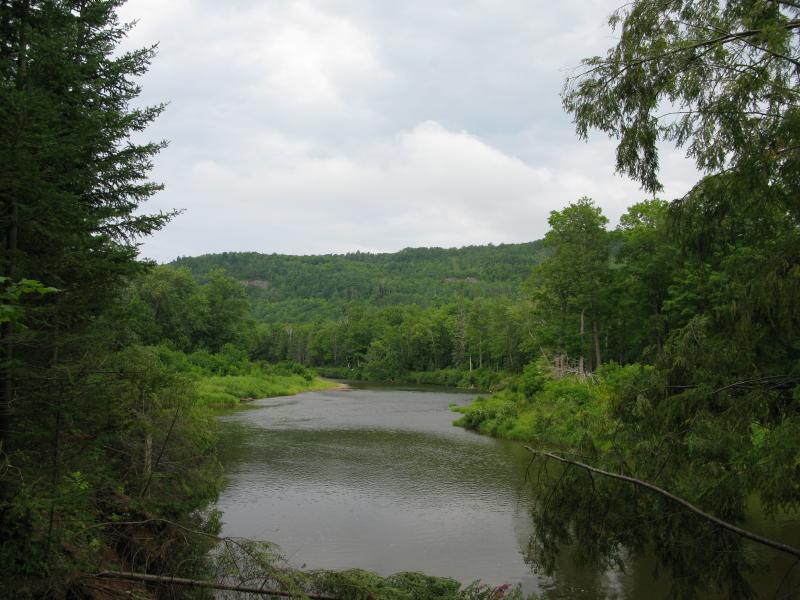

Sandstone Falls is a small tick mark on older topo maps along Johnson Creek in a rather thick and inaccessible area of the Ontonagon River. Small stagnant ponds and recent logging has spurred a rapid boon of beaver activity on the tiny creek. The only drops visible along the creek are the small trickles through the beaver dams.
Directions
Turn west onto Burma Road (Forest 730) from US-45, about 7.5 miles north of Bruce Crossing. Take the forest access road for 5.4 miles and park on the two-track to the right, the one that's gated a short distance down. From here you basically want to go north and there are plenty of two-tracks to choose from. If you just head straight with no turns you'll end up in a clear-cut area near Schatt Creek. Turn left, crossing the creek, going north and west until you bump into Johnson Creek. There are other, more windy routes, that will require either a GPS or careful map reading.
-
Jacob P Emerick
Apr 18, '16
Hi Alex - I listed it for two reasons. One was because I wasted a lot of time hunting it down and wanted to save/help future hikers from suffering the same fate (which is also why I have Upper Sturgeon and Little Giant Falls on this site). This kinda contradicts my second reason... I still think there's a waterfall out there. I didn't find it, but I hope that someone (with any luck, future me) will find it and I'll be able to update this page accordingly.
-
Will
Oct 28, '20
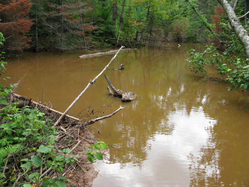
I was able to navigate to this location on 10/27/2020 and found the same. The sandstone steps appear to be inundated by a series of beaver dams in the location mapped. After further topographic map examination, it is quite possible that the waterfall could be well downstream of the location on the USGS quad map.
Add to this discussion