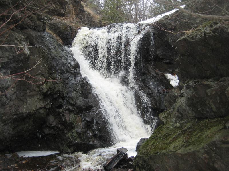
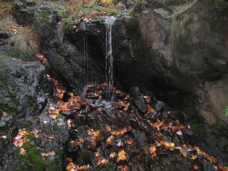
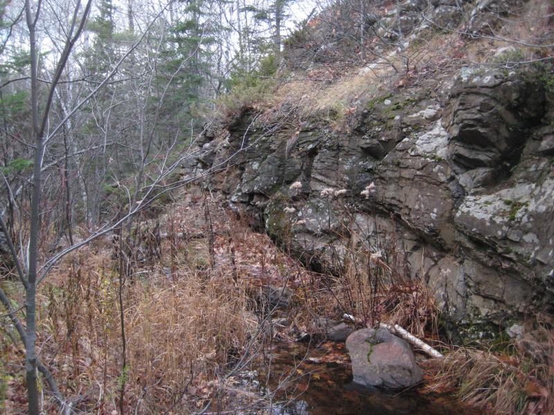
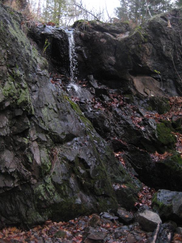
There are plenty of neat little drops in the Keweenaw with seasonal flow, yet only Upper Copper Falls drops directly into an old mine. Owl Creek, a tiny trickle of water through most of the year, empties out of Owl Lake and flows north over a steep volcanic formation before plunging almost six feet and splattering onto a scattered pile of broken rocks. This pile covers up an entrance to Copper Falls Mine, an entrance that is only accessible by the creek now, and the mine swallows up every last drop of water.
The now-dry creek continues downstream, fed only by tributaries from this point on, eventually gaining enough trickles to flow again over multiple drops and slides that form Copper Falls. The water that flows into the mine empties far downstream, by the old stamp sand, at Copper Adit Falls.
Directions
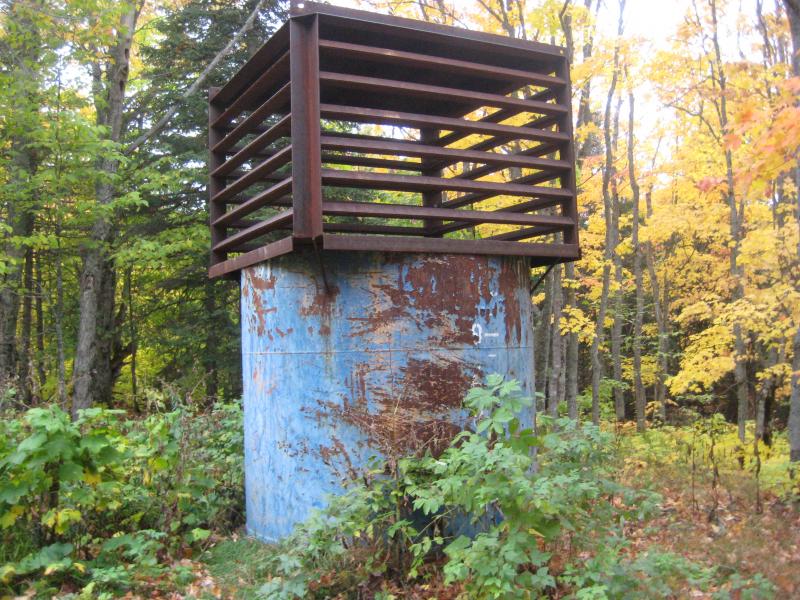
Drive along the Eagle Harbor Cutoff Road, turning right on Brockway/Central Cutoff about a half mile east of Copper Falls Park. Turn left at the track at .4 miles, the last track before the woods open up on the Cutoff Road along a swampy section, and park in the small gravel pit on the track. Follow the drive heading right out of the pit, past the blue mining shaft with a bat cover on top, to an open sandy clearing. The creek and falls are located on the far side of the clearing, maybe a few yards in the forest.
-
Jacqueline
May 26, '21
We tried to find the falls for over an hour, walked all over the area and saw the many stops markers (metal poles in the ground), saw grassy fields and many holes and rock piles but could not find the mine shaft or the falls. Could the mine shaft have been recently removed? Also the track on the left at 0.4 miles now has a big dirt pile pushed up in it to prevent driving.
-
Jacob Emerick
Jun 16, '21
Huh, that's weird. Did you see the open meadow? I don't think it's likely that the shaft got moved, but it may have happened over the last few years.
Add to this discussion-
Jacob P Emerick
Jul 17, '17
Thank you, M :)
Add to this discussion