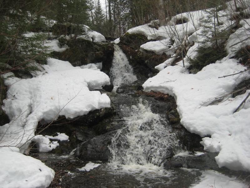
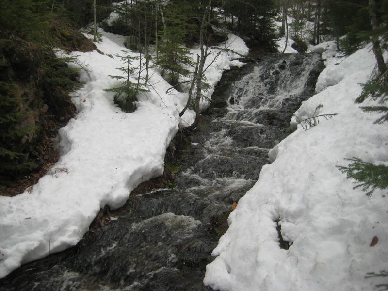
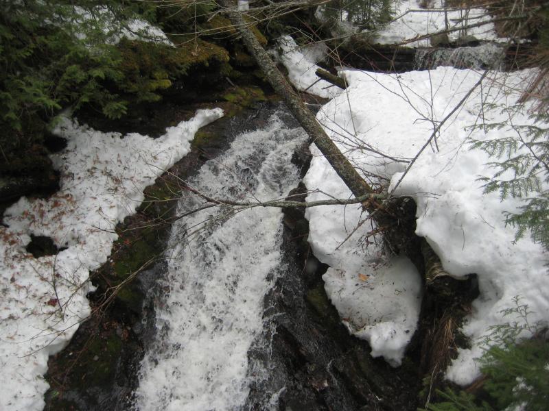
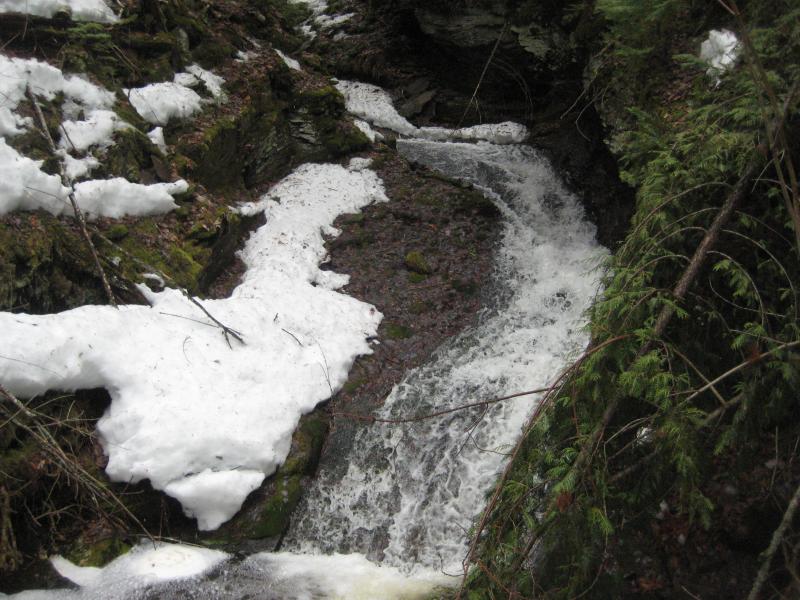
Copper Falls is basically composed of the main bulk of Owl Creek as it makes its tumultous path down to Lake Superior. After flowing from Owl Lake the creek pours over a steep plunge at Upper Copper Falls where a blasted adit swallows up every last drop. The old mine entrance is not big enough to look or crawl down but does a good job diverting the water underground. The creekbed continues downstream, with multiple rock formations that only form flowing waterfalls when the tiny tributaries from the sides can refill the creek.
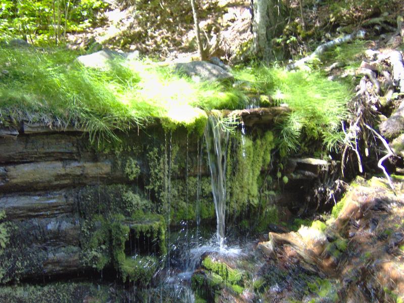
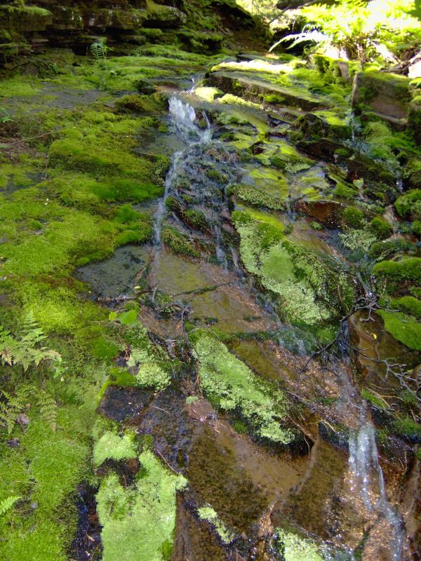
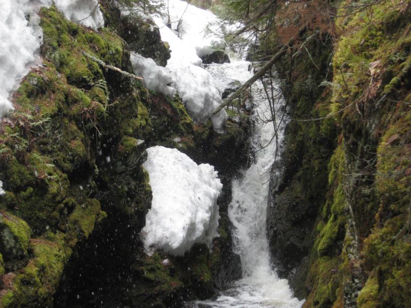
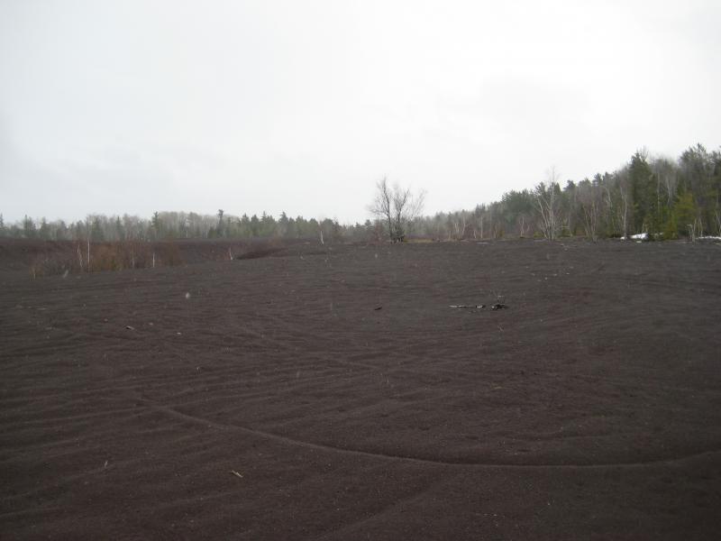
Upstream from Eagle Harbor Cutoff Road is a number of drops, including a wide, veil over slanted rock and some direct plunges off of broken spurs. Downstream from the road the creek's gorge deepens as the rock changes to conglomerate, with the drops turning into deep chutes that are difficult to view. There are at least a dozen unique sets of drops along Owl Creek before it enters in the swampy, level ground of the stamp sands and lazily winds over to Lake Superior.
Directions
Drive along the Eagle Harbor Cutoff Road, bearing right on Copper Falls Loop (the second dirt road east of Copper Falls Park). Park before crossing Owl Creek and head upstream (if the water is flowing) to view a few falls. Head downstream, past Eagler Harbor Cutoff, to view the rest.
There are plenty of other approaches, with this creek holding so many unique drops over such a long stretch. You could head upstream from the stamp sand swamp, parking on Pine Street outside of Eagle Harbor. Or you could start further to the north by Owl Lake and Upper Copper Falls and just go downstream from the old (covered) mine entrance. The largest falls are located just south of the Cutoff Road, although the drops with the most flow are furthest downstream.
-
Mark C Piotrowski
Jul 31, '19
Hi Lindsay.I share your confusion as to how to see all the falls. I think the dirt road you speak of, before crossing the creek is a private road, so I avoided parking on it. The main road(Eagle Harbor Cutoff) itself has no shoulder, and the driveway marked Copper Falls Loop is also private! I had my girlfriend drop me off by the creek and pick me up 1/2 hour later, and was able to bushwhack upstream to see one falls. Went downstream several hundred yards and saw no big drops. Has become not any easy place to visit if you are not familiar with the area. Steve Jurmu of Funinthe UP.com does area tours, may give you some help...
Add to this discussion-
James
Sep 29, '20
the entire area is private property.
Add to this discussion-
Amanda
Nov 12, '21
Hey, I'm part of an undergrad research team at NMU. We're doing some research on stamp sands and rehabilitation, and were wondering if you'd let us take samples. If you see this could you reply and let us know?
Add to this discussion