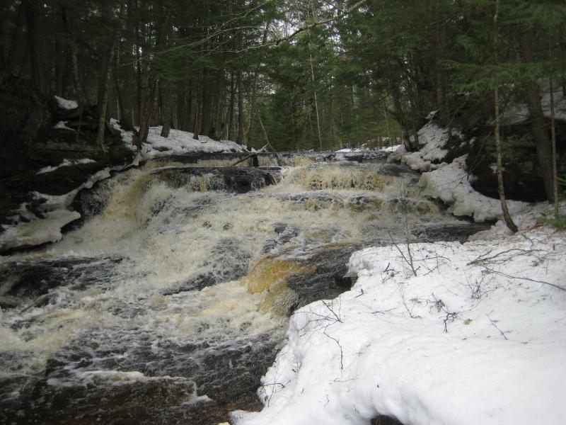
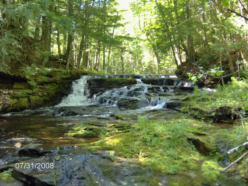
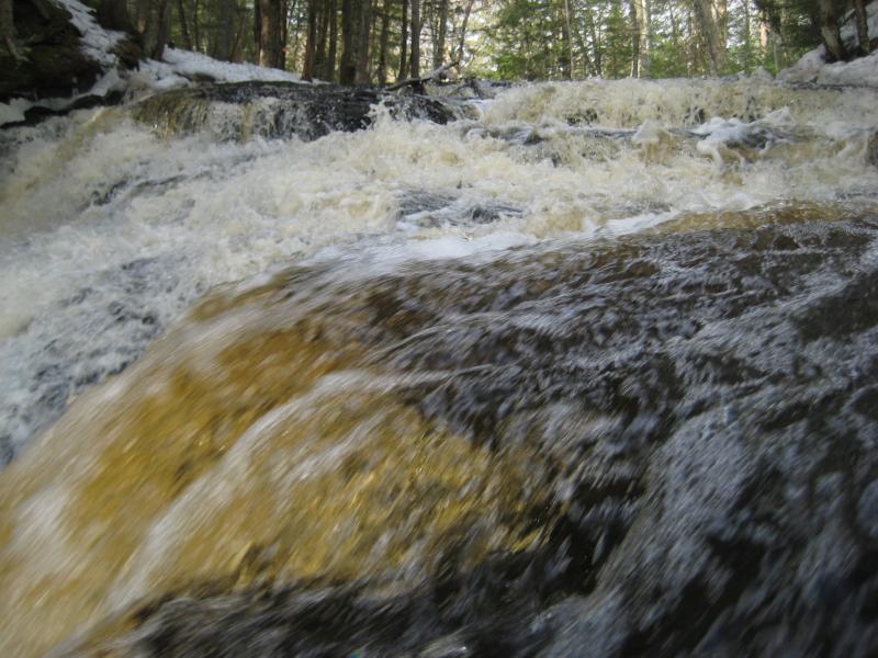
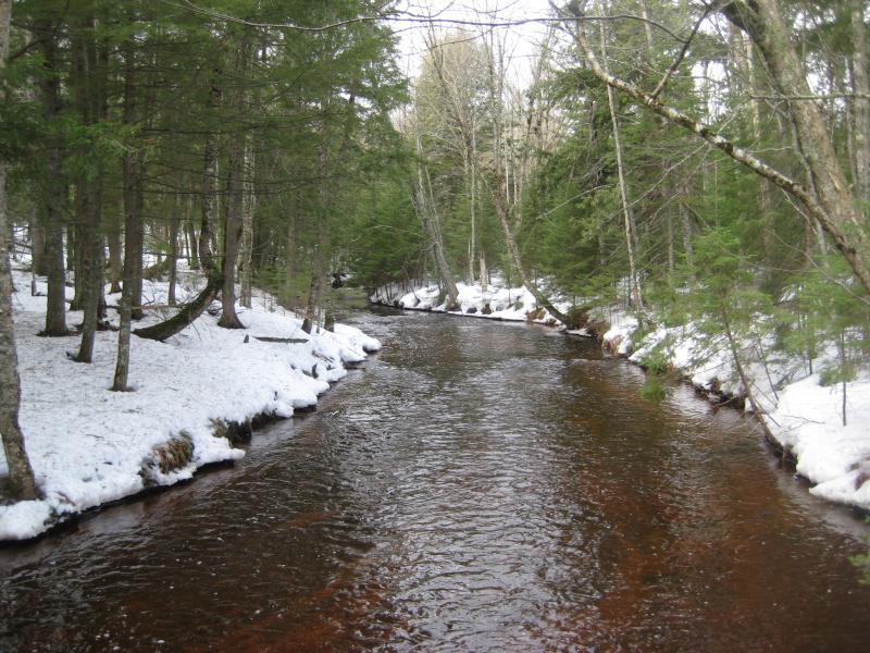
A wide, stepping cascade with an odd angled cut across the river's flow, Hogger's Falls is a unique little drop nestled deep in the Ottawa National Forest. This waterfall marks the beginning of a chain of drops on West Branch Sturgeon River between two twisting swampy sections. Relatively remote and with no marked path, Hogger's Falls is a good challenge for explorers looking to break away from maintained paths and easy hikes.
Directions
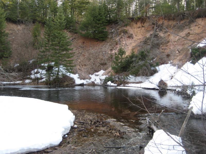
Take Newberry Road south from M-38 near Nisula beyond the unimproved sign to where the road ends at West Branch Sturgeon River. Backtrack up the road for a quarter mile to the first overgrown, gated forest access road that leads east. Take this road on foot for about a half mile before cutting to the right, down the river bank, for a few hundred feet to the falls. The waterfall is just upstream of the huge sandy curved bank.
Note: it may be more convenient to visit West Branch Sturgeon Falls first and just follow the river upstream to Hogger Falls.
-
Jacob P Emerick
Sep 22, '16
Hi Smartee! Hopefully I can answer some of your questions. So, it's my understanding that what you said about Google's marks are mostly correct. The uppermost drop on West Branch Sturgeon River is Hogger, and the lowermost is West Branch Sturgeon Falls. There are multiple drops in between the two drops on the river, none of them as tall as either Hogger or WBSF. However, I don't think that there is anything on or near Perjury - that's too far downstream. I haven't gone that far, but judging by the terrain out there and the elevation profile it seems unlikely (though not impossible) that another waterfall is that far east. Hope this helps!
Add to this discussion