
West Branch Sturgeon Falls
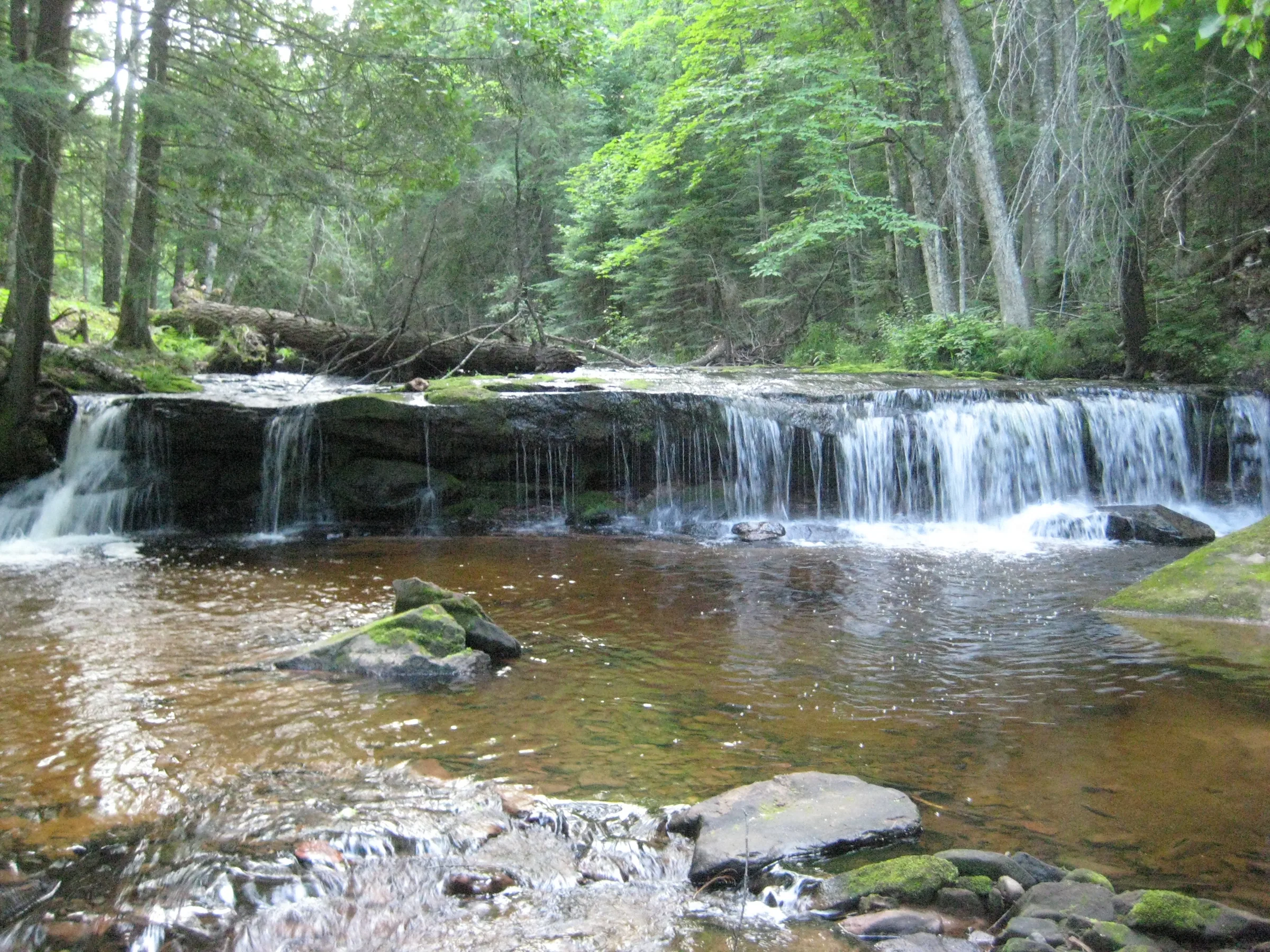
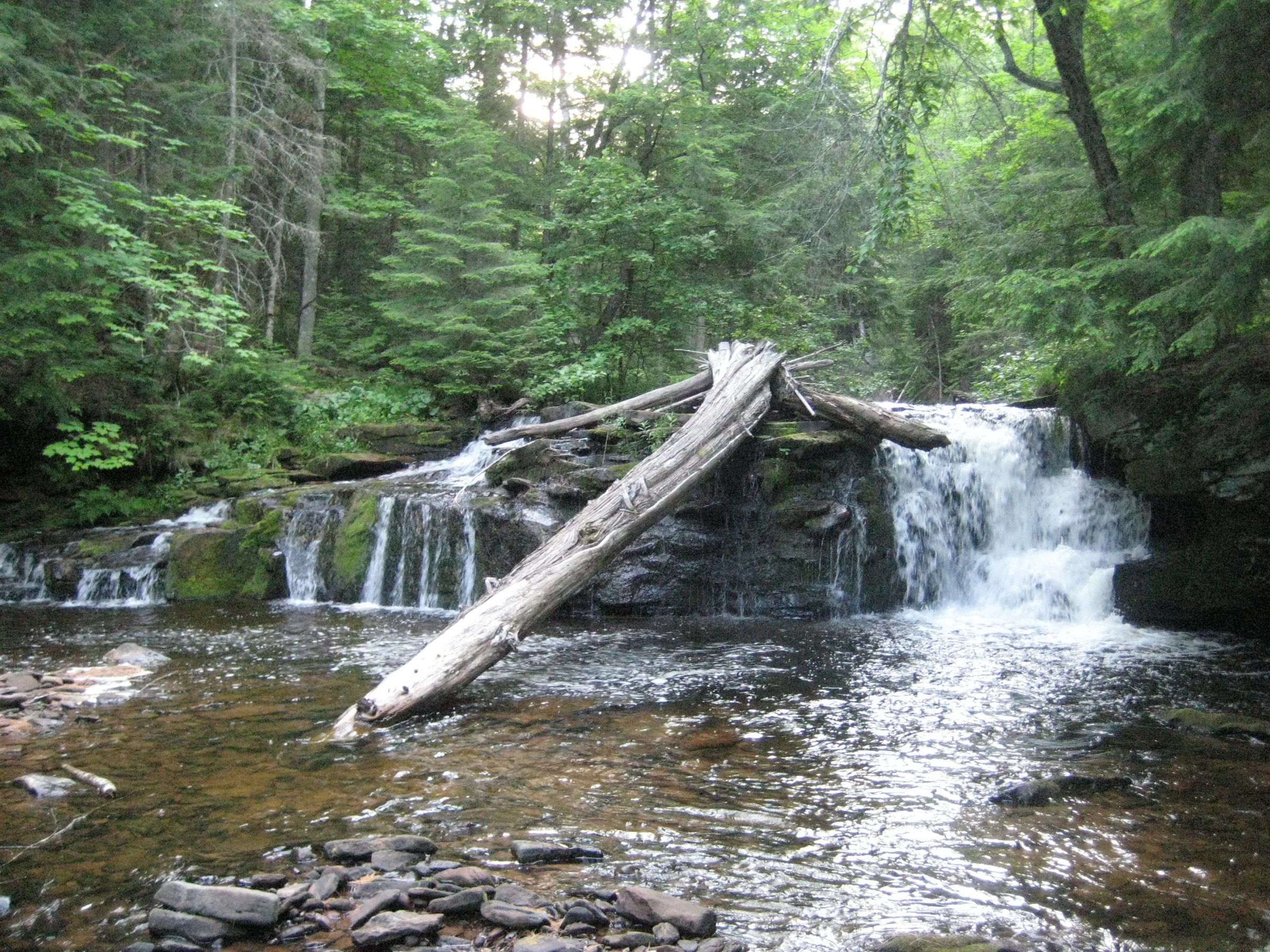
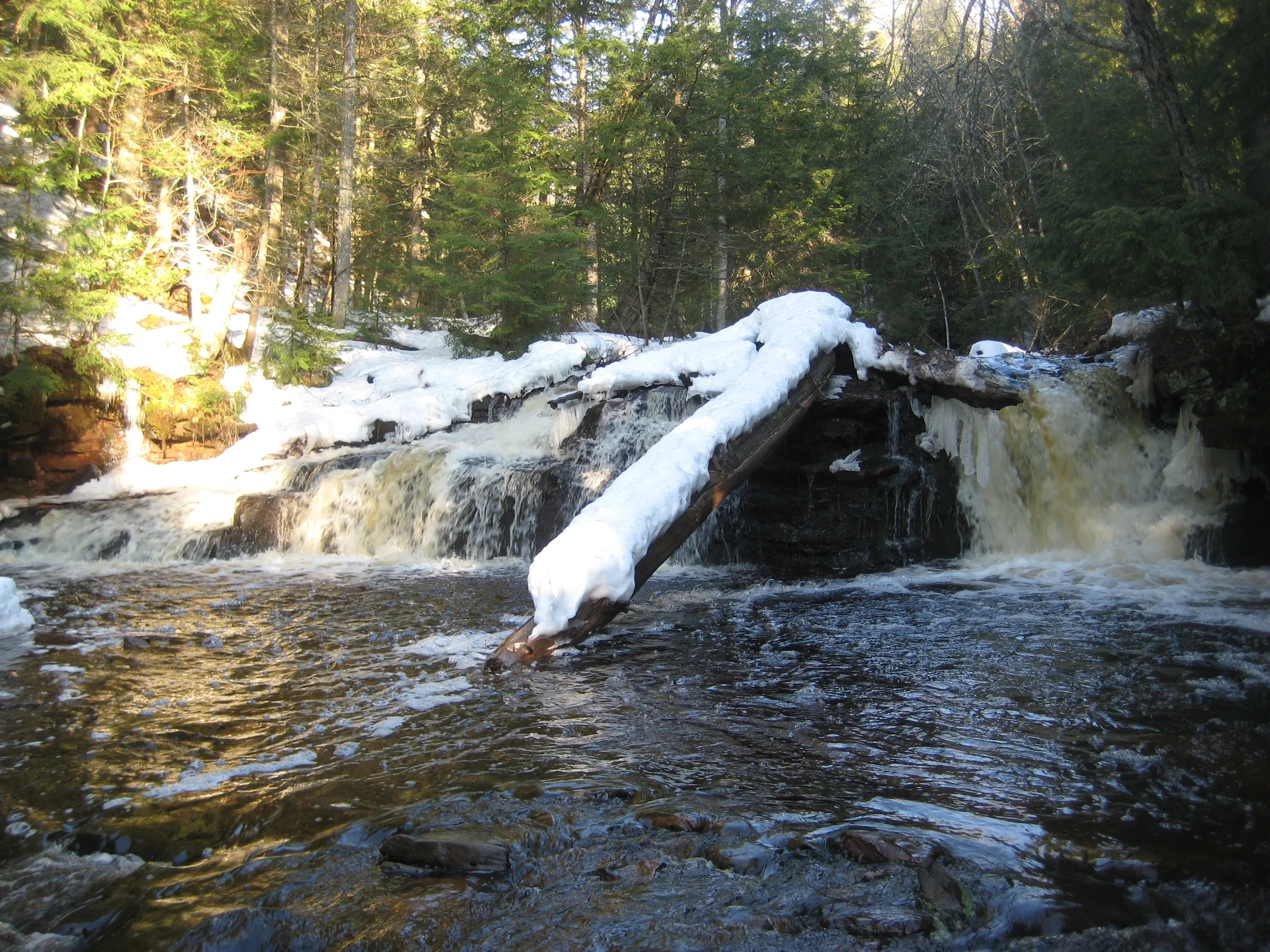
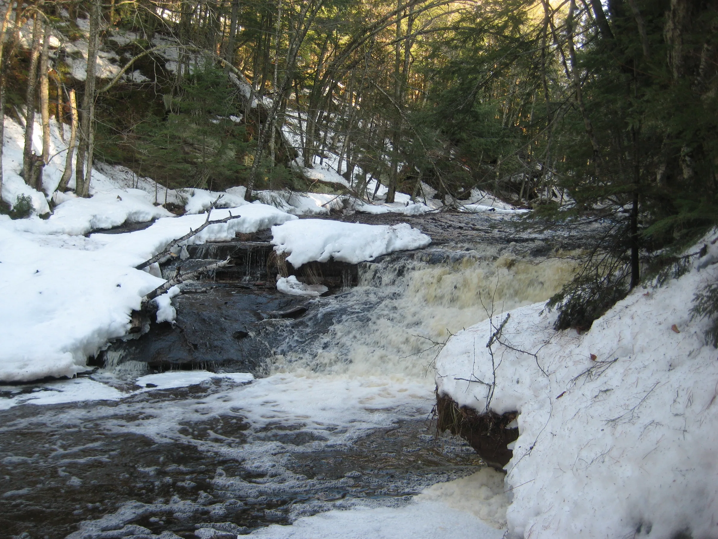
A cascading drop in the Ottawa National Forest along a remote section of West Branch Sturgeon River. The main waterfall flows around a small outcropping, the left side stretching out into a long slide and the right a sudden drop, with a unique log perched on the outcropping from past flood waters. A forest access road provides easy access to West Branch Sturgeon Falls and a nearby campsite.
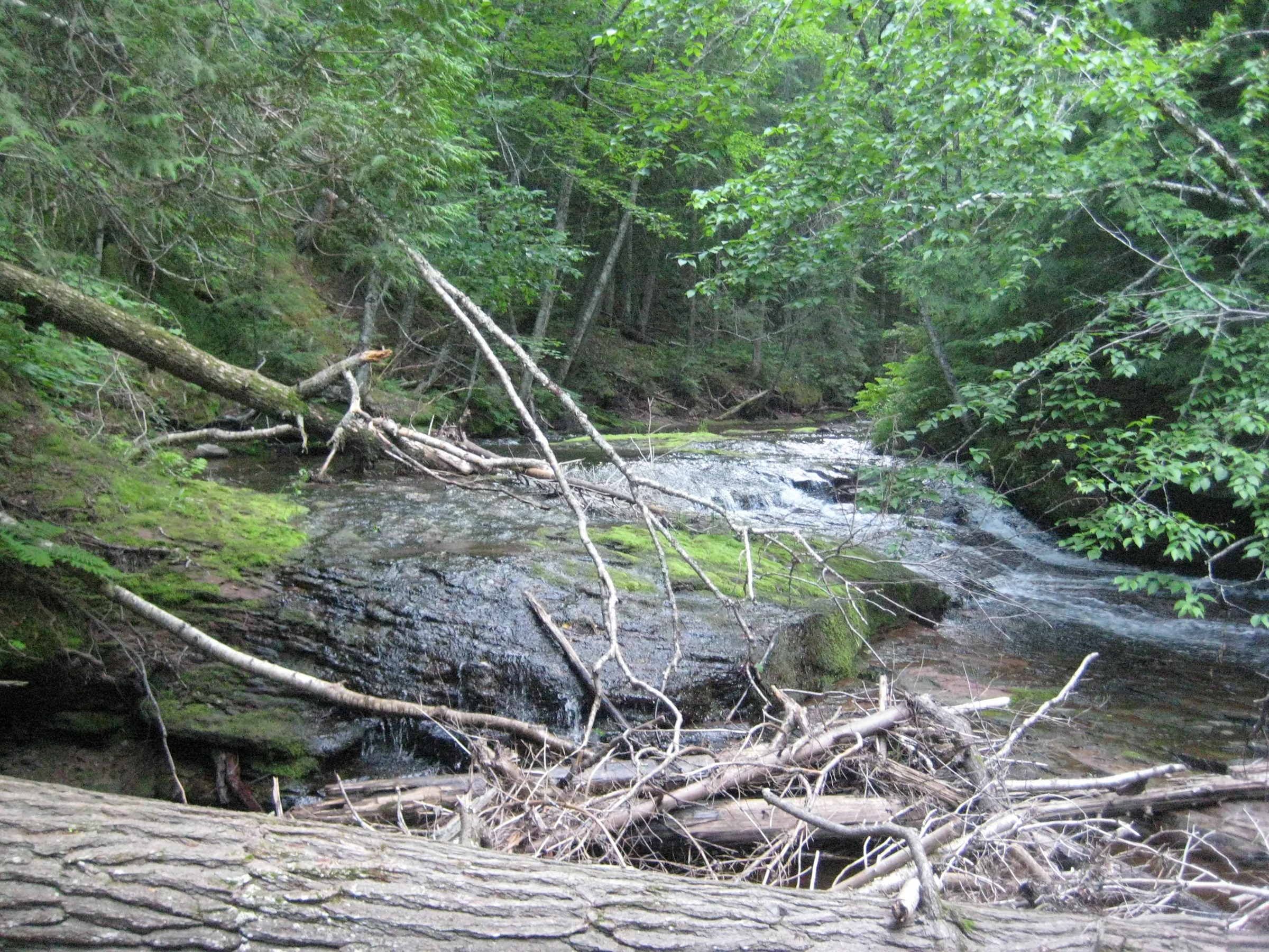
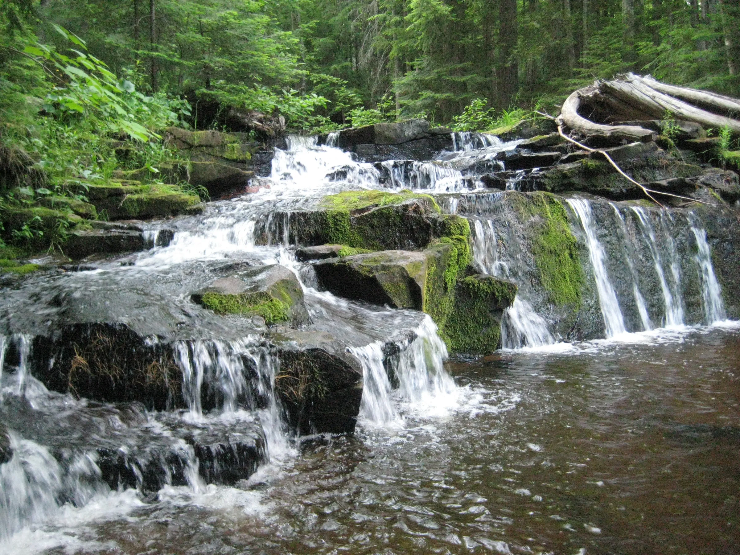
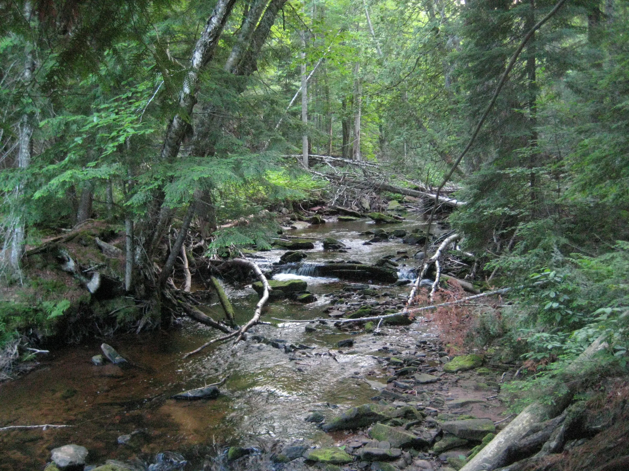
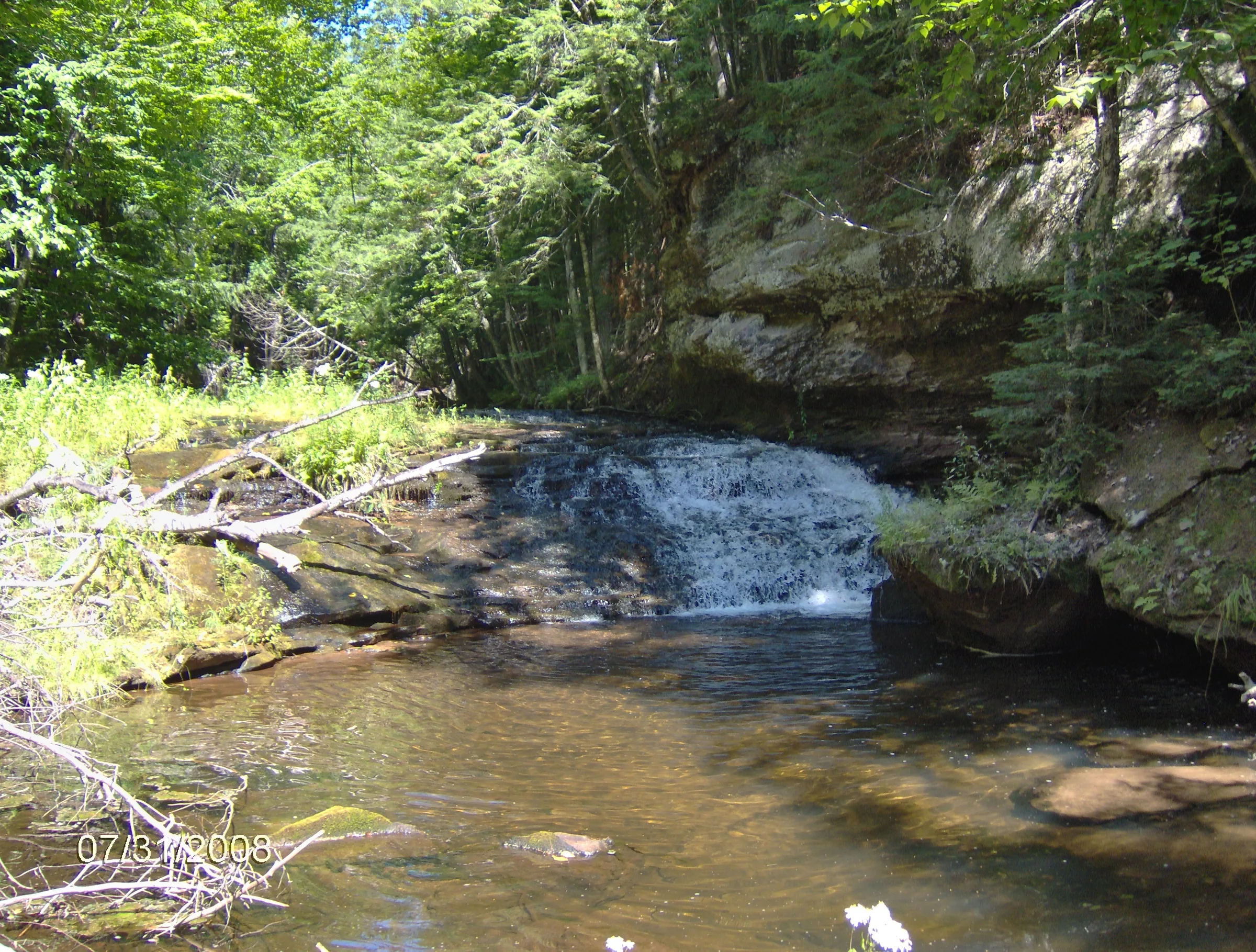
Upstream from the main drop is a series of smaller falls stretching all the way to Hogger Falls. The path is sometimes difficult and the drops range from one foot plunges to taller, noisy slides. The river and valley is very pretty to walk along, with random outcroppings, steep banks, and huge trees along the route.
Directions
Take Newberry Road south from M-38 near Nisula beyond the unimproved sign to where the road ends at West Branch Sturgeon River. Backtrack up the road for a quarter mile to the first overgrown, gated forest access road that leads east. Take this road on foot for about a mile before taking a side route to the right down to the main falls and a small campsite.
Follow the river upstream to view the smaller drops, and continue upstream past the big sandy bank to view Hogger Falls. Path may be made easier by fording the river a few times to avoid tough areas on the banks.
Photographs
Visits
Seen in April, July and August.
- comfortably full, with patches of ice on the river
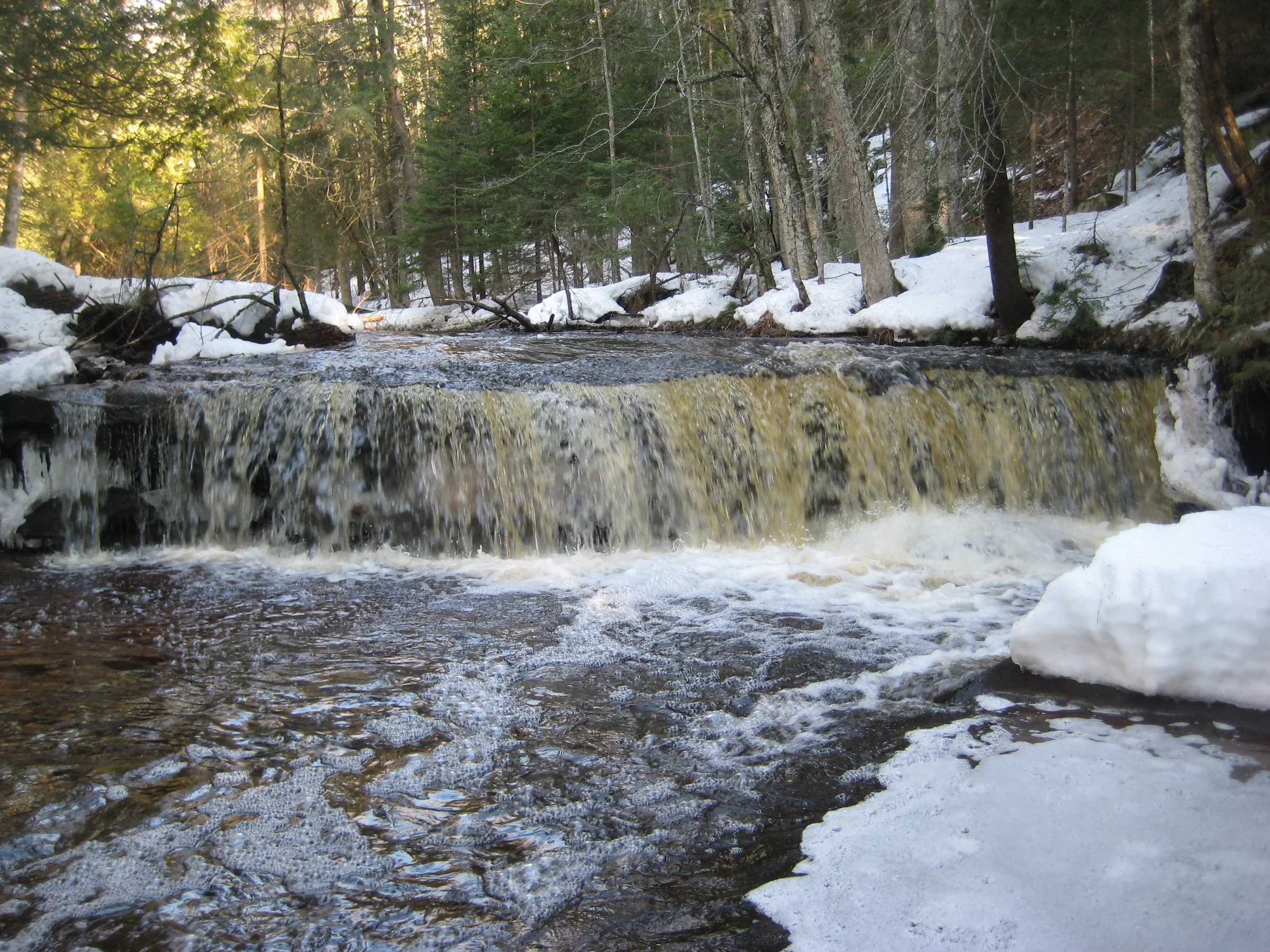
There is an unmarked trail that leads down from the access road, one that has brush hanging over it and a few downed trees across it, but it makes a straight line down to the main West Branch Falls of Sturgeon River. There were patches of ice on the river, especially on the island that sits below the falls, and I was able to crunch my way towards a few close views of the icy, rushing waterfall. The drops were really running today, much more than they had been during my summer visits; I wouldn't call them at flood levels, just comfortably full.
- the water barely running
We were behind schedule, and even though the daylight helped with the photos, the water was barely running. We didn't spend much time at the falls, taking only a few photos before heading upstream to the next three drops. Getting here took almost three hours from Houghton; there are two overgrown two-tracks that run near the river and I was on the wrong one.
I was starting to lose hope on finding the named waterfalls when a roar beckoned me just a little farther to West Branch Sturgeon Falls. The tallest waterfall so far today, this drop was split unevenly by a large chunk of rock with an old tree trunk perched on top. I found a small camping site on the northern bank, with a trail heading north from here, probably meeting up with the logging road.


Leave a comment