
Vista Falls
Vista Falls (probably) does not exist. The waterfall is marked on older topographic maps and even has a full USGS quadrant named after it. Only swamps and the trickling headwaters of West Branch Sturgeon River lie out here.
For those unwilling to accept this possibility, Vista Falls may be along one of the seasonal tributaries flowing down into the swamp, or perhaps was a logging dam that once sat in the swamp.
Directions
To visit the swamps and search for the (so far) elusive waterfall head south off of M-38 along NF-16 for 6.2 miles. Turn left onto S Laird Road for 2 miles and park on the first northbound two-track past the culvert over West Branch Sturgeon River (just a swamp in this area). Follow the two-track on foot past the beaver swamp for about 1.5 miles before cutting off towards the river.
Photographs
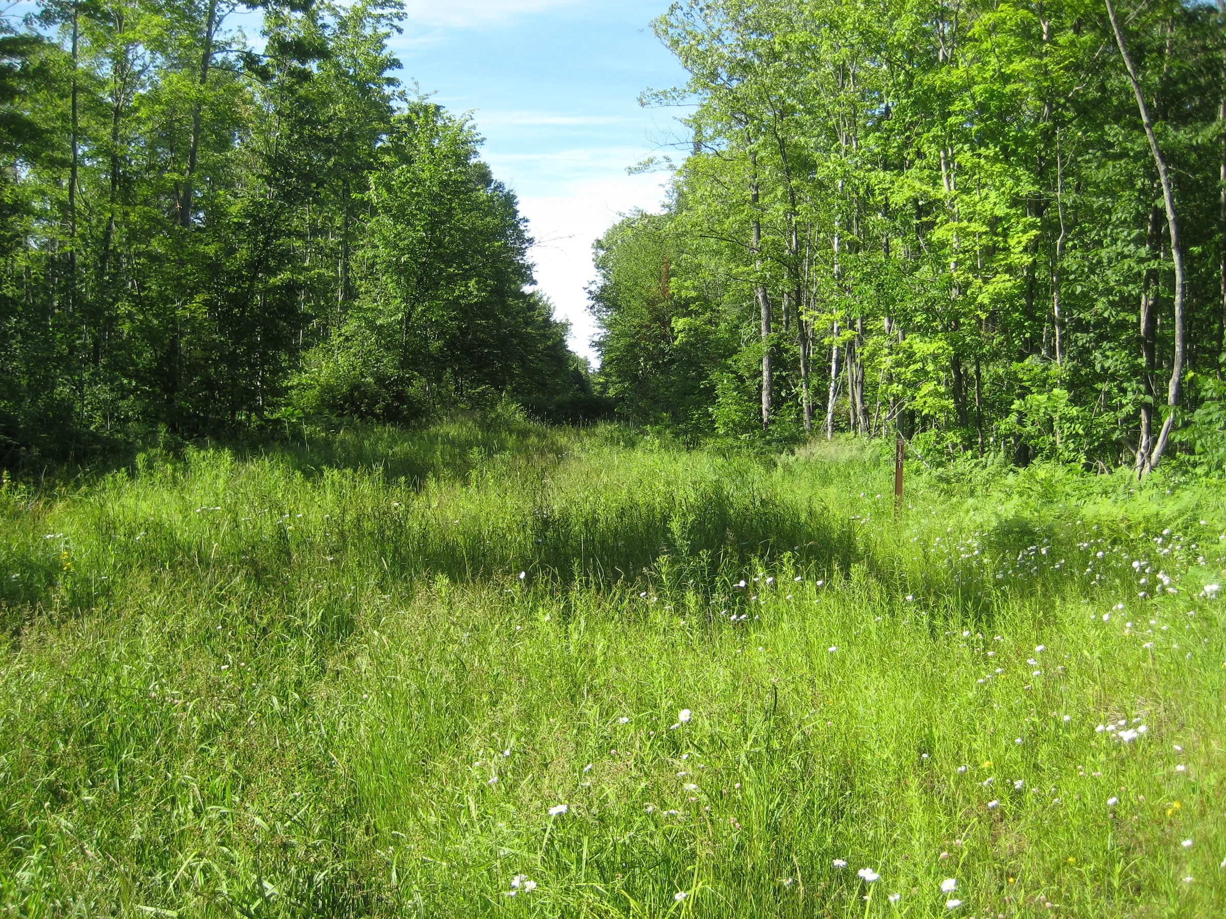
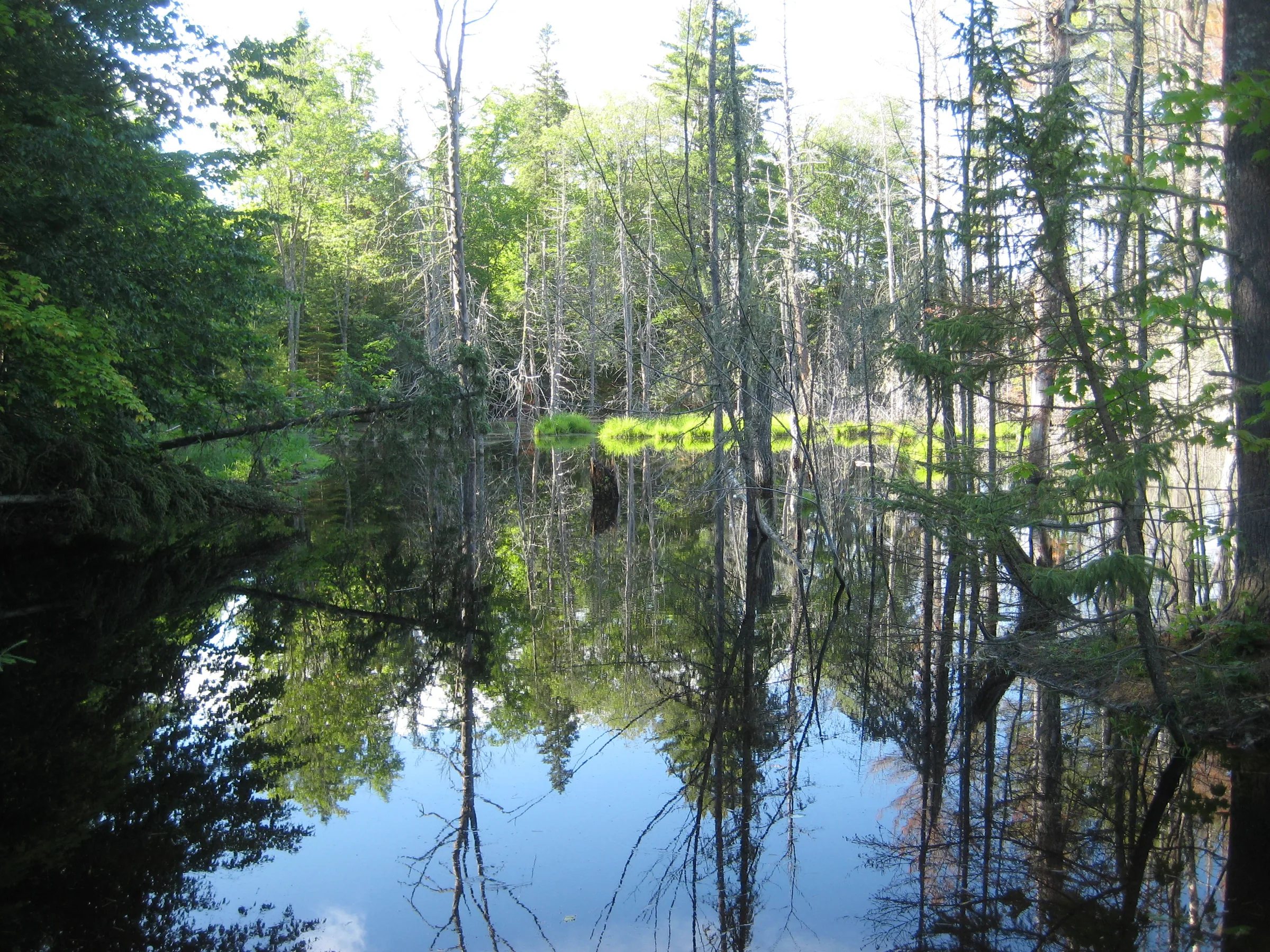
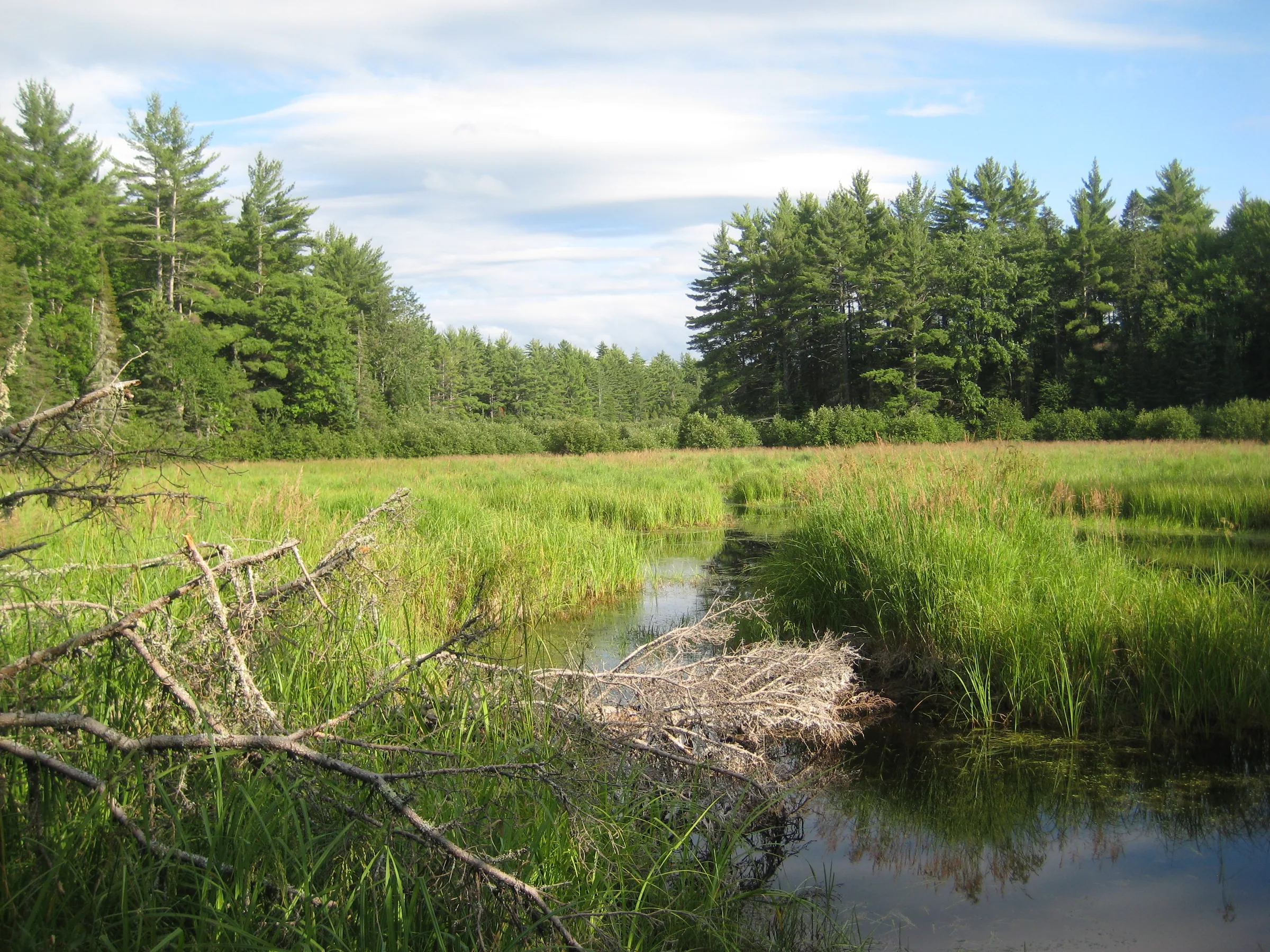
Visits
Seen in July and November.
When we reached the tiny river Logan and I scoured the area. It looked like tough going, pushing through thick woody undergrowth with a tiny flow of water seeping from one deep pool to the next. After an hour of hacking through this I decided to change tactics and just focus on the banks; maybe Vista Falls was actually on a tributary flowing into West Branch Sturgeon River. However, there was no tributaries flowing today. After another hour of fruitless searching I pushed my way out angrily, promising not to get sucked into Vista Falls again.
This two-track was easy to walk on, probably flat and nice enough to drive my car down. It lasted almost a half mile before a beaver-created swamp ate it up. When I reached the river all I saw was grassy swamp. I didn't think the walk would be this far. West Branch Sturgeon River makes a large elbow bend north of Laird Road, and today I had tried going around the outside of the bend along the road, which is sharper than the water's bend, and had just ended up short.
Following the overgrown track north was easy until the black flies started coming out, and a cloud of biting annoyances soon surrounded me. When I crested a small rise and came upon a wall of woods to my right, where a path was supposed to lead me straight to the river, I cracked. I did not have a good handle on the area or any sort of compass or GPS, and the thought of getting lost out here with all these black flies was unbearable.


Comments
2 comments
Great shot of the waterfall! It's the same one I found! You may even find my tire tracks out there. I tried coming in from all 4 roads that surround this elusive (nonexistent) waterfall!
Hi Phil,
Glad we found the same waterfall, heh! Bummed that you tried all the roads, though. I was considering going back out there armed with a GPS and following it downstream more, coming in directly from 1651, maybe trying during this spring melt. The summer I tried was particularly dry - the swamp was low and stinking and barely draining.
Leave a comment