
Trestle Falls
Access The trestle is an active LS&I railway bridge with cameras on it, and the lot at the end of Neejee Road is private. The homeowners on McClure Dam Road call the road private while the UPPCO sign at the dam says the project land is open to the public.
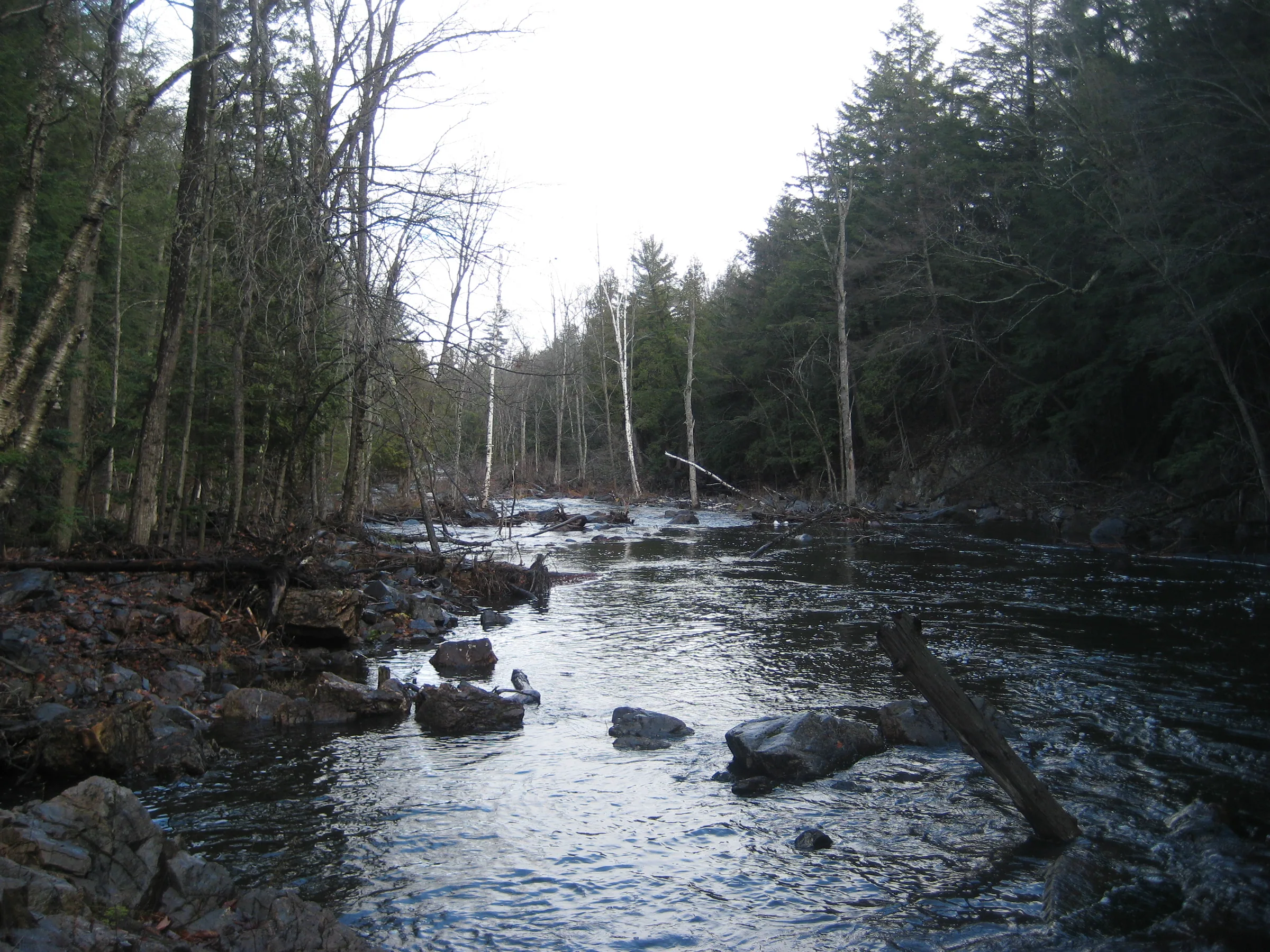
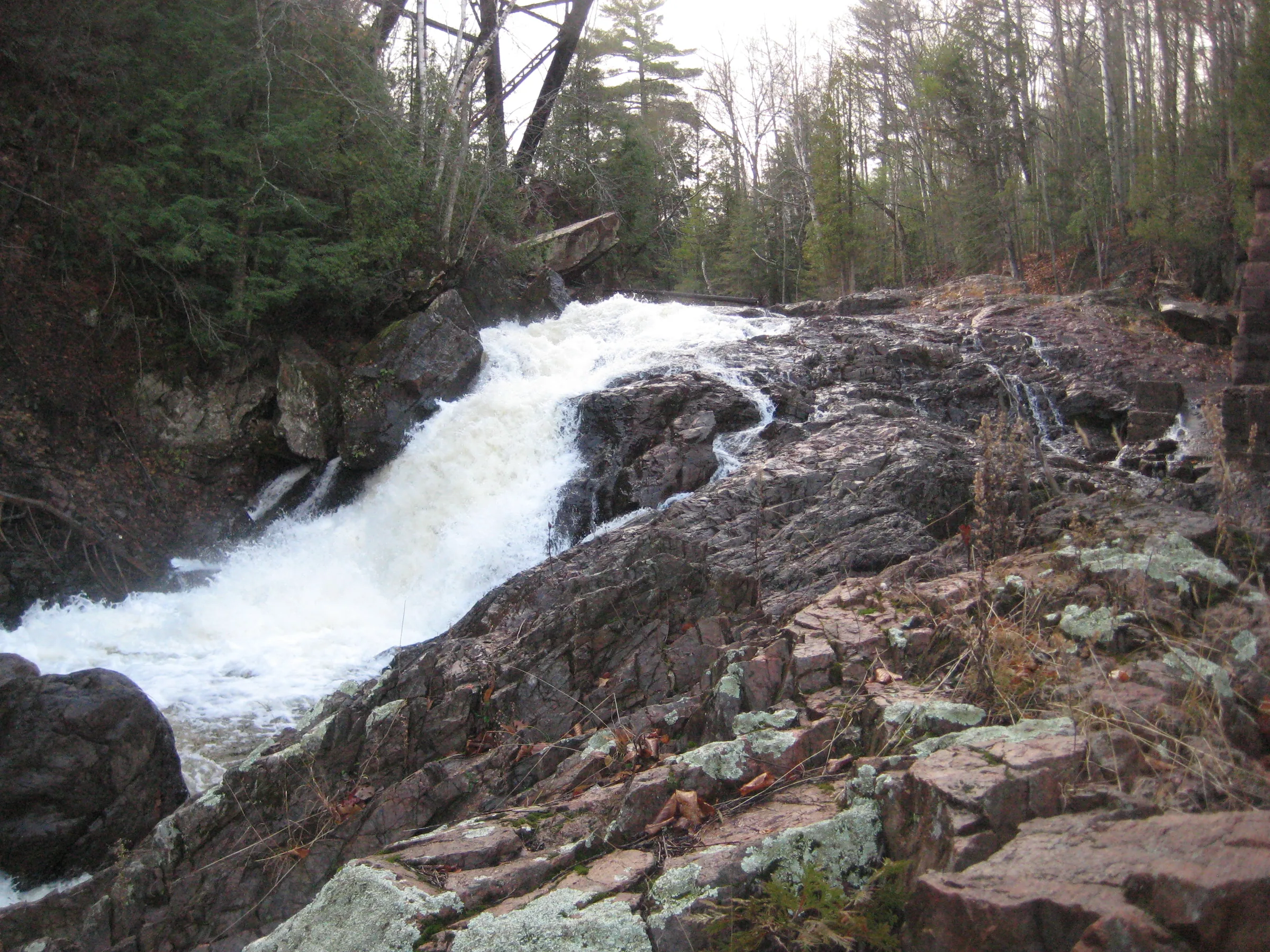
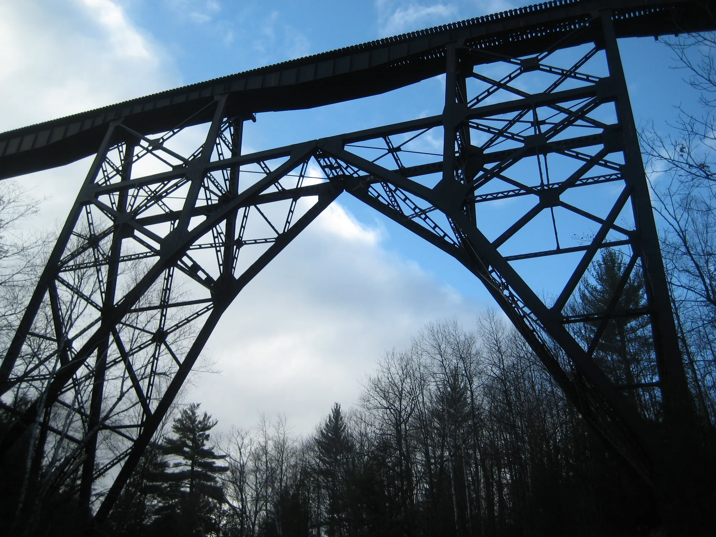
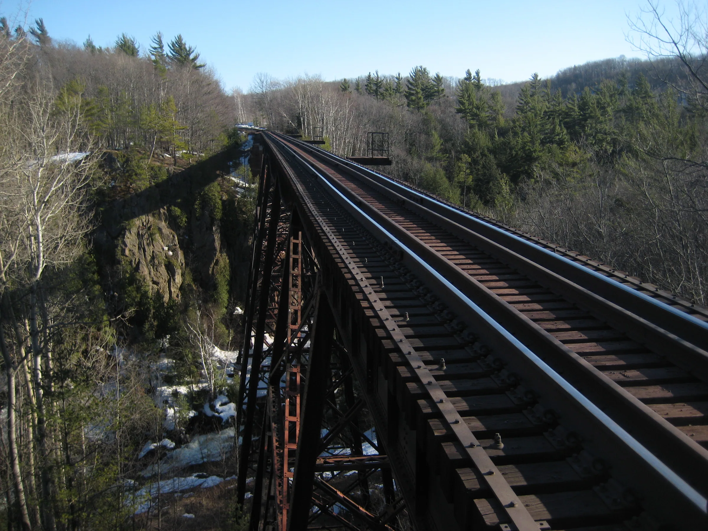
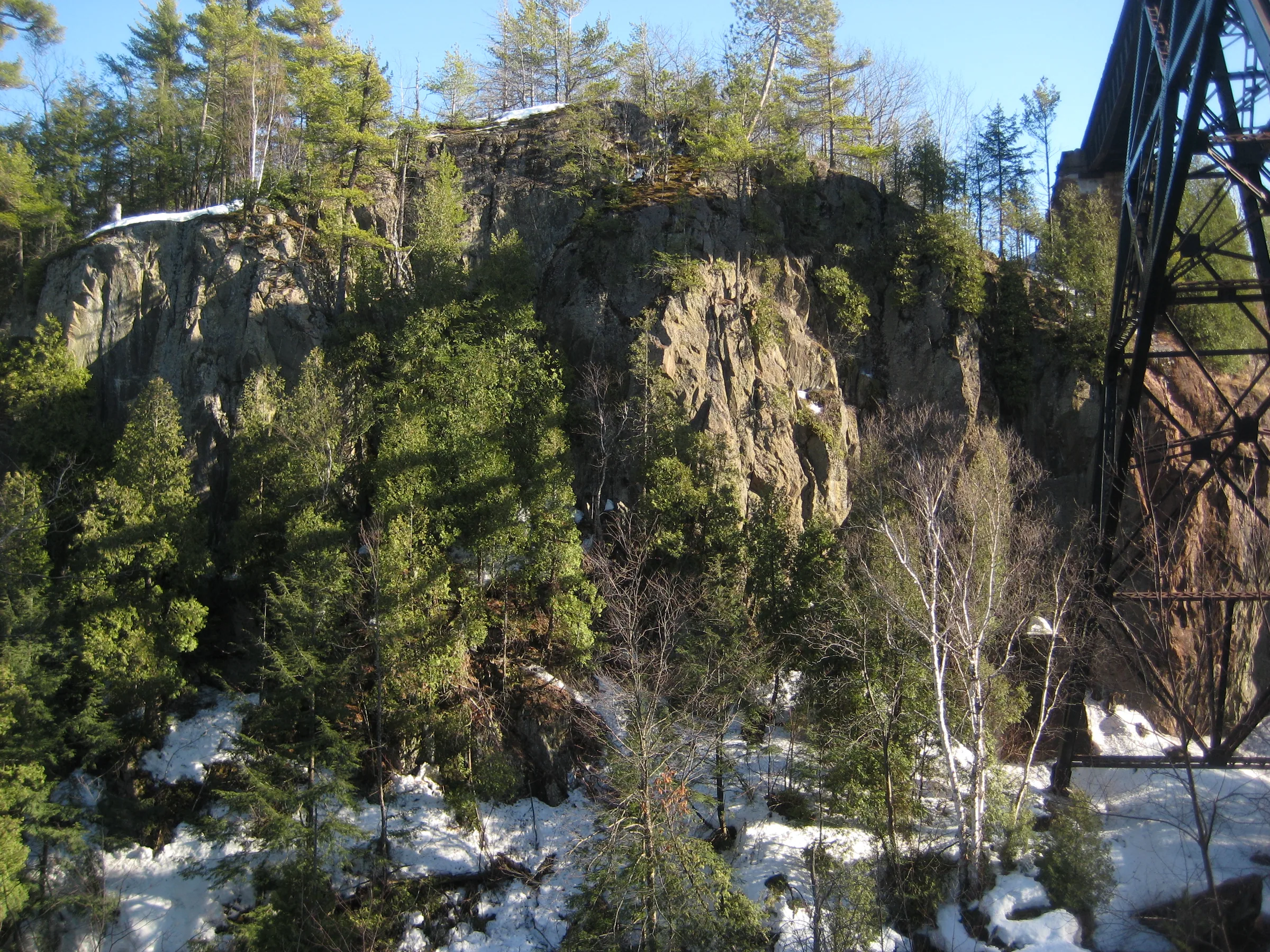
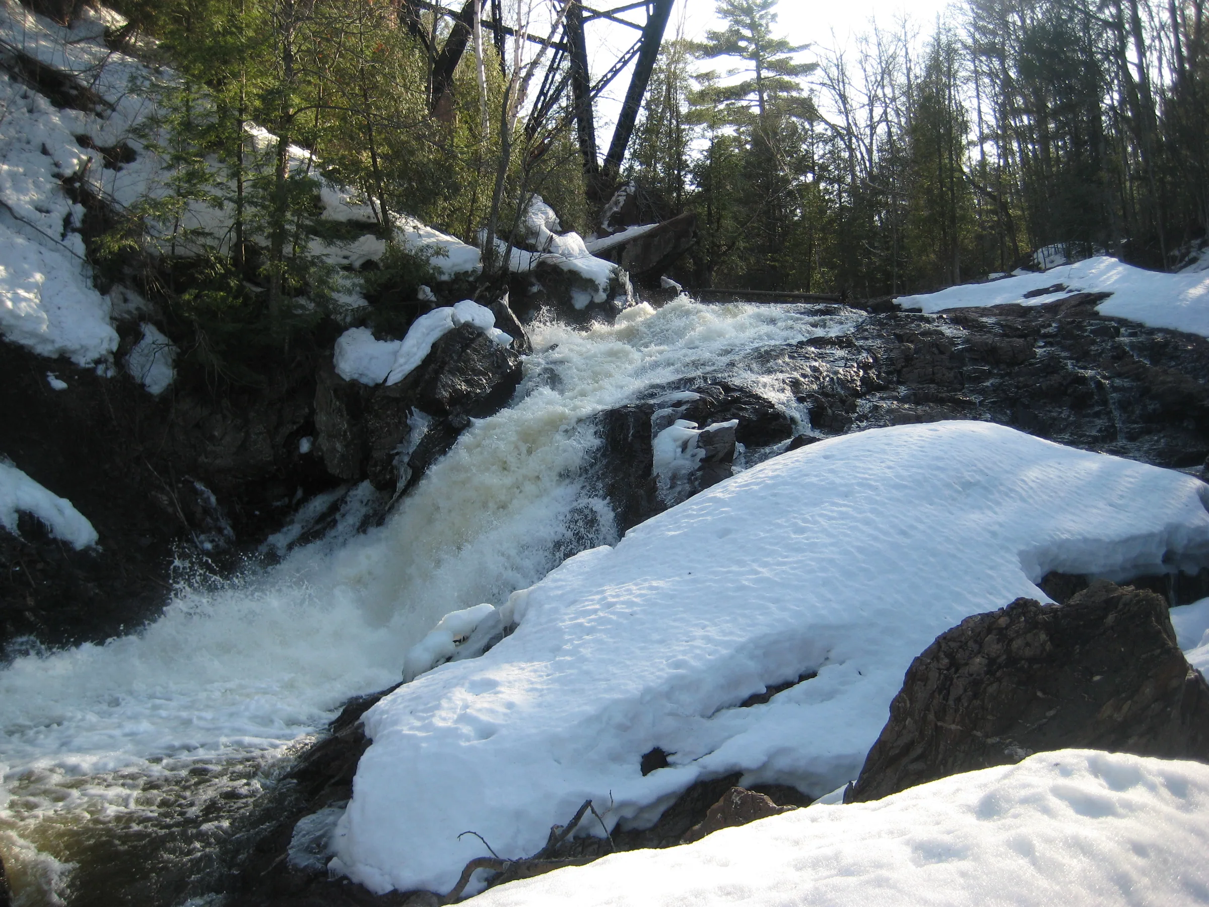
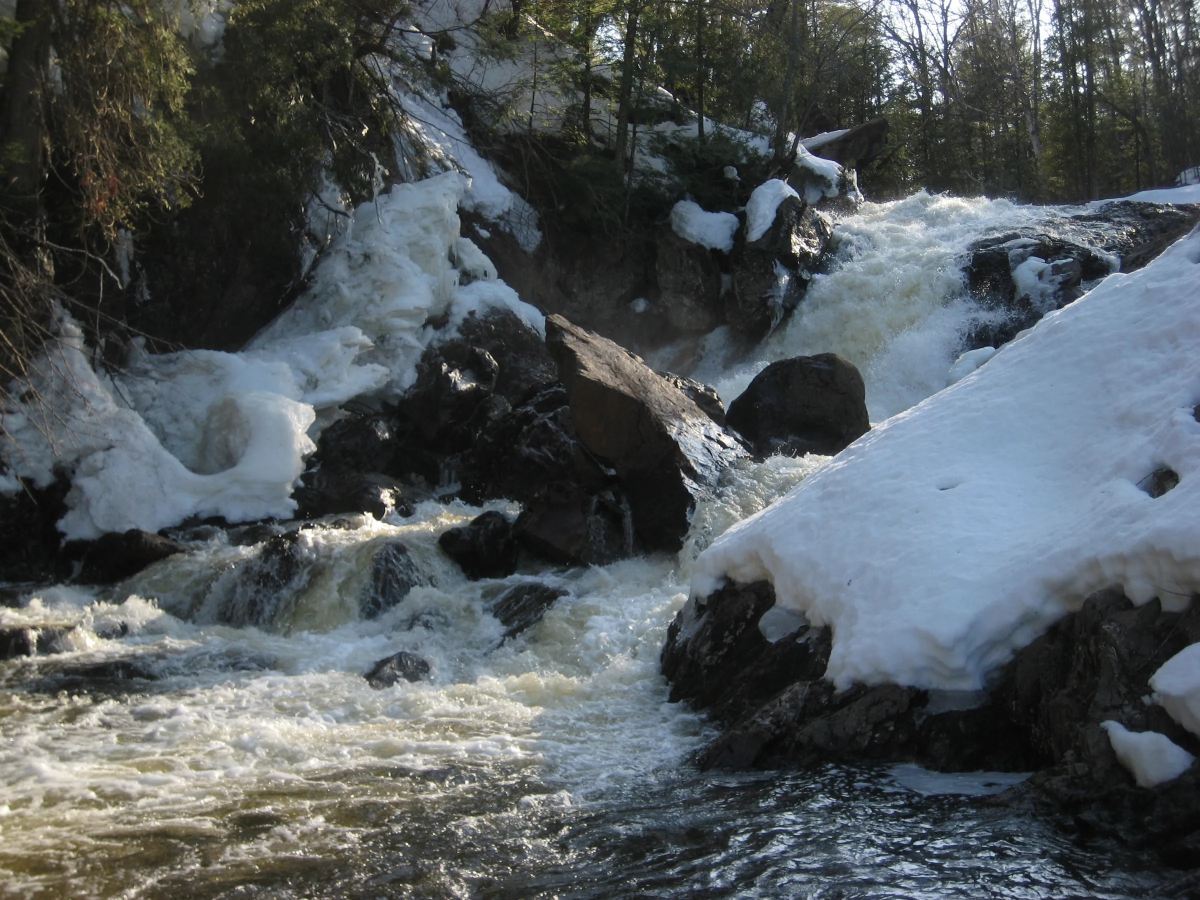
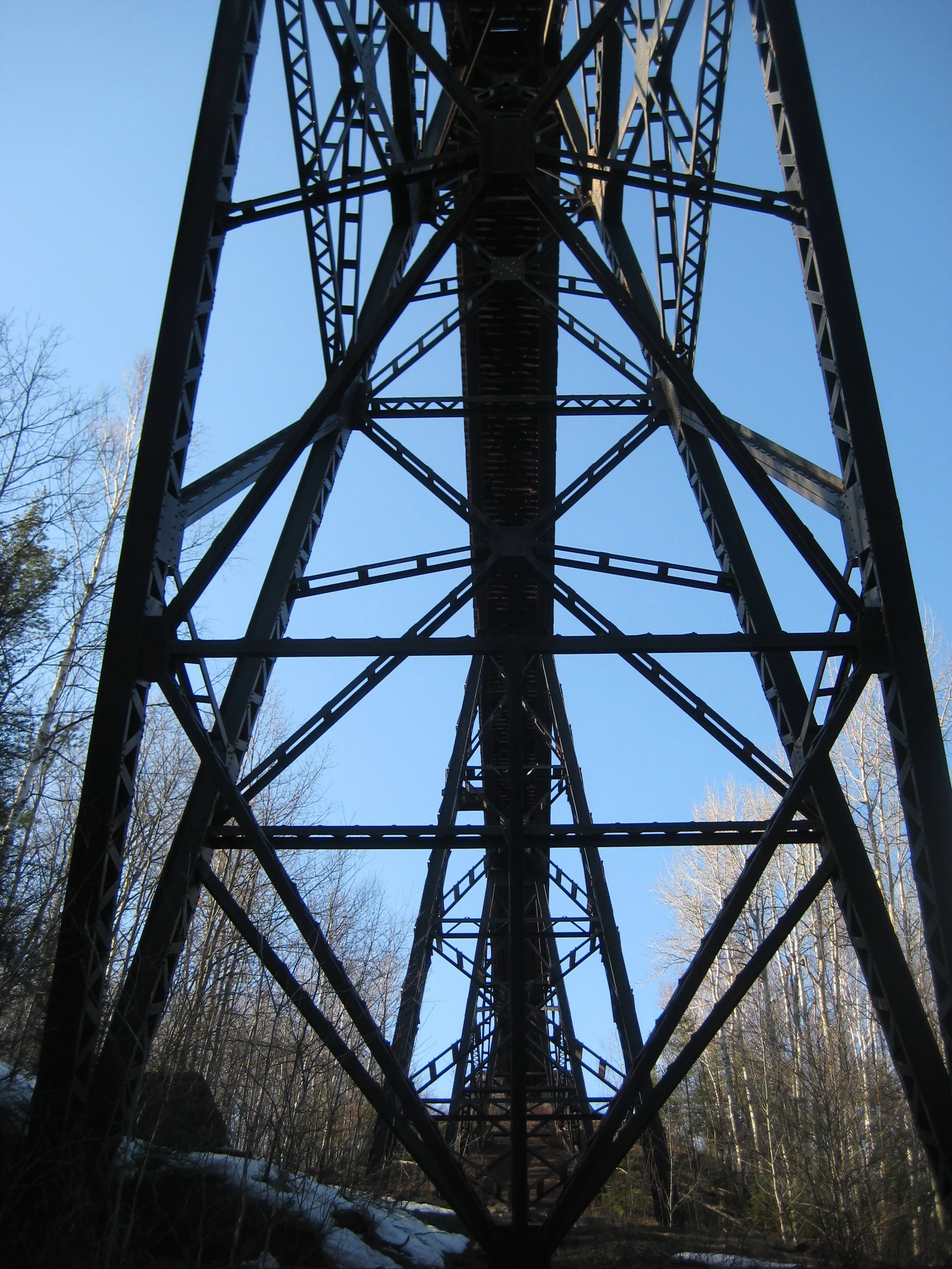
Trestle Falls is among Marquette County’s most impressive sights and is also one of the least known waterfalls. The LS&SI railroad crosses an steep river gorge here, reaching over to a sheer rock cliff that rises up impossibly high above the water. Below the towering steel trestle the water pours over a two-tiered drop, the first a narrowing slide into a deep gouge in hard, exposed rock and the lower a tumbled slide tortured by giant blocks of rock. Below these falls the river calms down, entering a sluggish swamp for several miles before entering a more famous set of falls in Marquette.
Directions
The parking spot at the end of Neejee Road is private, and the railroad put trail cameras on the trestle at his request; the homeowners along McClure Dam Road say that road is theirs too, though a visitor in 2023 reported a UPPCO sign at the dam stating the project land is open to the public and a gated path to the river from there. Whatever route you take, the trestle itself is an active industrial railway bridge with a narrow, loose approach, and trains still cross it often. Stay off it.
Take County Road 502 from US-41, a right turn about 2.5 miles west of Marquette, up to County Road 510. Stay on 510 for 2.5 miles before turning right on Neejee Road. Neejee Road is a winding dirt road on the north side of McClure Basin with a lot of sidetracks leading off to various housing areas. Stick to the main road for 1.2 miles before turning right on McClure Storage Basin Road which will take you to the dam after .9 miles.
The easiest approach is to head directly to Trestle Falls, passing by the dam. Walk down the hill until you bump into the penstock from the dam (it was buried last time I visited and made an odd, straight mound through the woods). Follow the penstock east, away from the dam, until it starts a lazy turn left around a swampy little valley. Turn right with the ATV trail here.
Follow the ATV trail into the woods, avoiding the hunting blind on the way, for a short time. At some point you may be able to see the railroad through the woods (depending on the time of year), which should be before the trail curves back towards the penstock. Head down the hill to the tracks, following it to the right until you bump into the river (maybe a hundred yards along the tracks), before heading down to the river. A posted sign warns to stay off the trestle, and the cameras beside it are the railroad’s.
From Trestle Falls you can head upstream along the river to Upper Dead River Falls and McClure Dam Falls. The banks are steep and difficult, though not impossible, and a few trials began to crop up near the upper falls.
Photographs
Visits
Seen in April and November.
- more full than last fall, the water stinky and murky green
The river was definitely more full today than it had last fall, with misting walls of frothing whitewater crashing down and around the boulders. I was mostly distracted by the dangerous sheets of snow covering the banks. The waters were stinky and a murky green, probably from churn and flushing out the upriver basins.
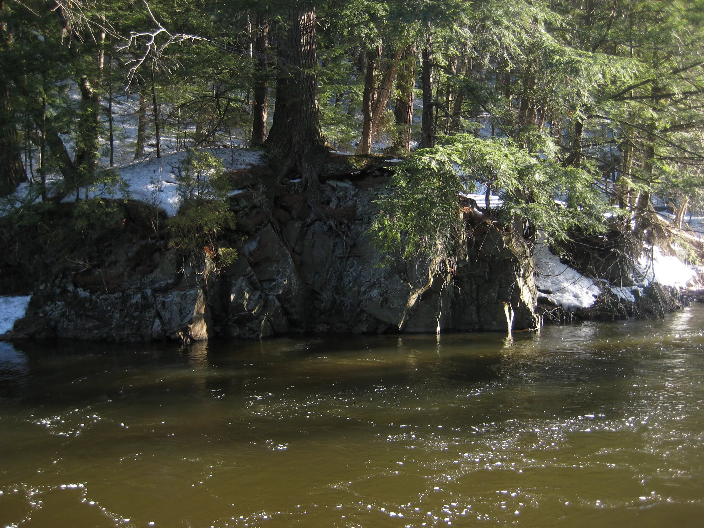
The Dead River flows between a steep sheer cliff and a rounded hunk of bedrock deep within a gorge, and as soon as the river passes the trestle it flows over a massive two-tiered waterfall that is easily the single largest drop on the Dead River today. The trestle soars up from the top of falls, framing in the river, the solid supports looking flimsy as it rises from the solid rock. Getting back down to the river proved rather difficult; the tracks and steep rocky river banks are covered with iron ore pellets and form an excellent surface to slip and crash down.


Comments
13 comments
Alternate route-park at the end of Neejay roar just before the railroad tracks. Follow tracks south to the trestle, can access Trestle, Upper Dead River, and McClure Dam Falls from here, though the path upstream is not an easy one at times. From the same spot, can head along the tracks North, then east to Upper Reany and Holyoke Falls as well.
Good to know. That route is more friendly for a nice long waterfall adventure, I suppose, cos the Dead River Falls are right there too. Looks like there may be some ATV tracks that connect the uppermost of the main Dead River Falls, the ones under the power lines, back with the penstock.
Does this one have a different name as well as Trestle? Not that I'm complaining about information being lacking on it, less people, but I can't even find it listed in the Waterfall World Database.
Ah, no other name that I've heard. In fact, I've found very few references of this waterfall at all. Trestle Falls was something I picked up from another website (that has since been taken down). It's a shame - definitely tall and scenic enough to warrant more attention.
Back in the mid 70's this was a popular destination for NMU students who wanted an adventure. There was no sign warning to stay off the trestle...
In fact, I watched college wrestlers climb up the trestle from the bottom to the top... i was a bit smarter... but it was freakin' scary to walk across the trestle, because to climb down to the falls, you needed to cross the trestle if you came in off the highway. The NMU ROTC used the other side to practice rapelling...
When school would get out in early June, there was still snow down at the bottom of the gorge, because it was so narrow that sunlight only hit it for maybe an hour a day... An awesome experience... If I had better knees I'd love to revisit it...
We tried to find this. No access to the dam. Even though the sign said public access the drive said private drive and we were redirected by the homeowner. We tried the railroad too and were turned around by the no trespassing and cameras. No luck.
Cameras? Really? Installed by the railroad or another entity, as far as you could tell?
The cameras are trail cams placed by CNR the property owners of the trestle they are on trees beside bridge /bridge is very dangerous with pebble rocks leading up to it , and train still travels frequently ,to see would require walking to edge and simply to dangerous,hence the reason for cameras
I was there recently as well, to me seemed homeowner installed. I'd be curious the actual ownership back there.
If you're talking about walking in from Neejee Road or the McClure Dam, that is all private property. I'm a property owner on the McClure Basin and our association owns alot of riverfront property south of the dam. I've never even ventured down there...
I am the landowner at the end of Neejee Road. The LS&I Railroad installed the cameras, not me (although with my permission and blessing). The parking lot at the end of Neejee Road is PRIVATE PROPERTY; it was never enforced until the idiots started trashing the area. The railroad does not like foot traffic to the trestle; it is an active industrial bridge. If people would respect the area, my privacy, and stop using the parking lot for a toilet, garbage can, etc, there wouldn't be an issue. However, in this day and age of entitlement, that seems to be too much to ask. A few bad apples have definitely ruined this opportunity.
The McClure Dam Road is a private road and is maintained by the homeowners with properties off the road; thus, access is restricted to the owners and their guests. While there is a sign for the McClure Storage Project at the start of the private drive at the old Dam Caretakers property (the residence is also privately owned and a part of the home owners association), one needs to drive down the aforementioned private McClure Dam Rd. The land behind the dam is almost all privately owned and posted with no trespassing. Please respect peoples property and privacy.
Directions above are not correct. There is a right turn to remain on 510, then a LEFT onto Neejee rd, which is paved. Take Neejee to McClure Dam Rd, which is gravel. Stay on McClure dam rd until you see the giant UPPCO sign on the left and make a left turn. The sign clearly states this area is open to the public. As you approach the dam, on the left side, 100 feet before the road ends at the dam, there is a path leading to a dam owned gate. Park here. This gate has a warning sign about not destroying property, OWNED BY THE FEDERAL GOVERNMENT. pass the gate on foot on the right side, there is a clear path. Go down the hill and head right, towards the dam. Look for the giant smokestack structure and stay to the left, follow the trail down to the river. You'll see the start on falls, and if you proceed down river, you'll find larger falls.
Leave a comment