
Holyoke Falls
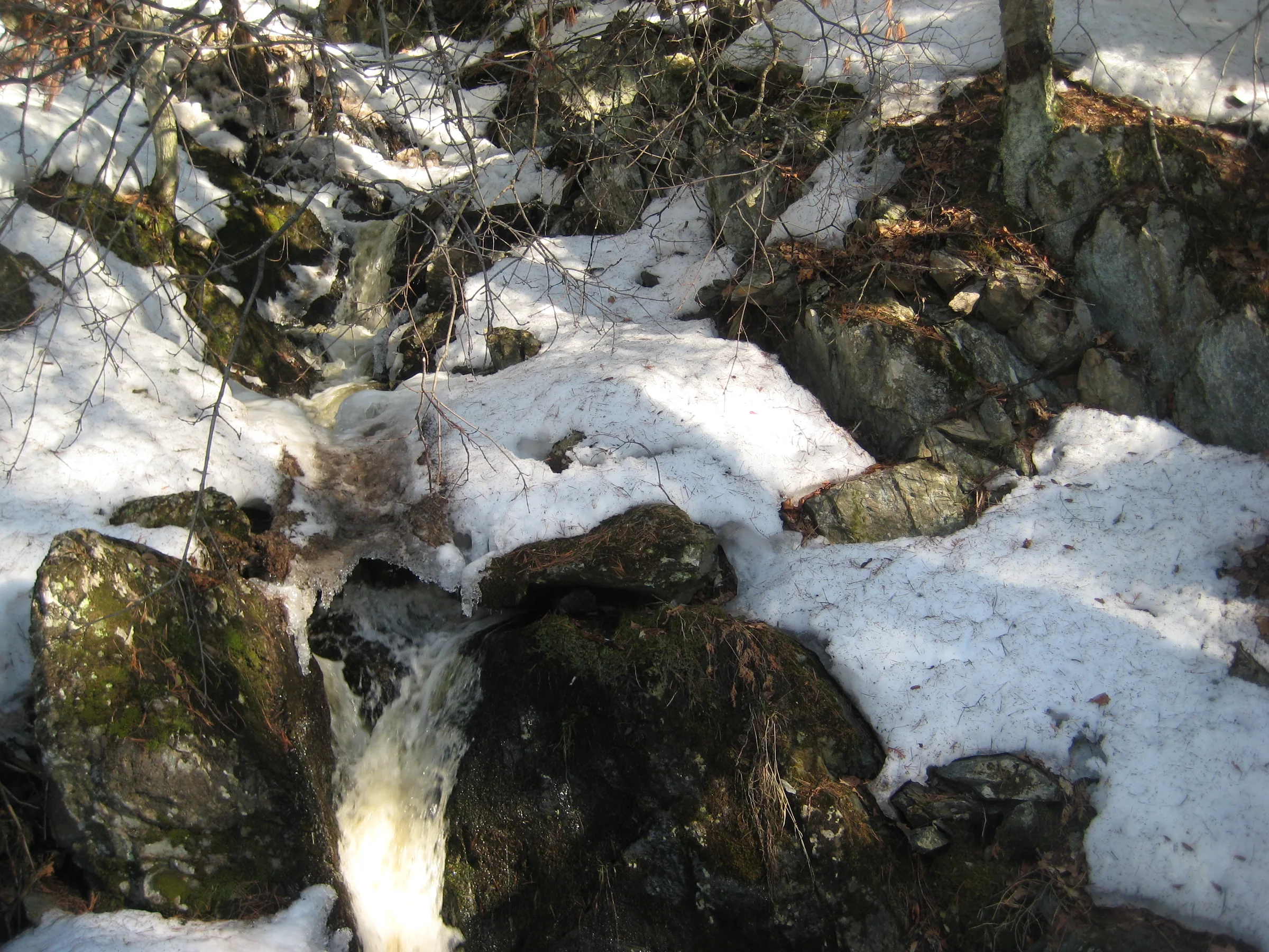
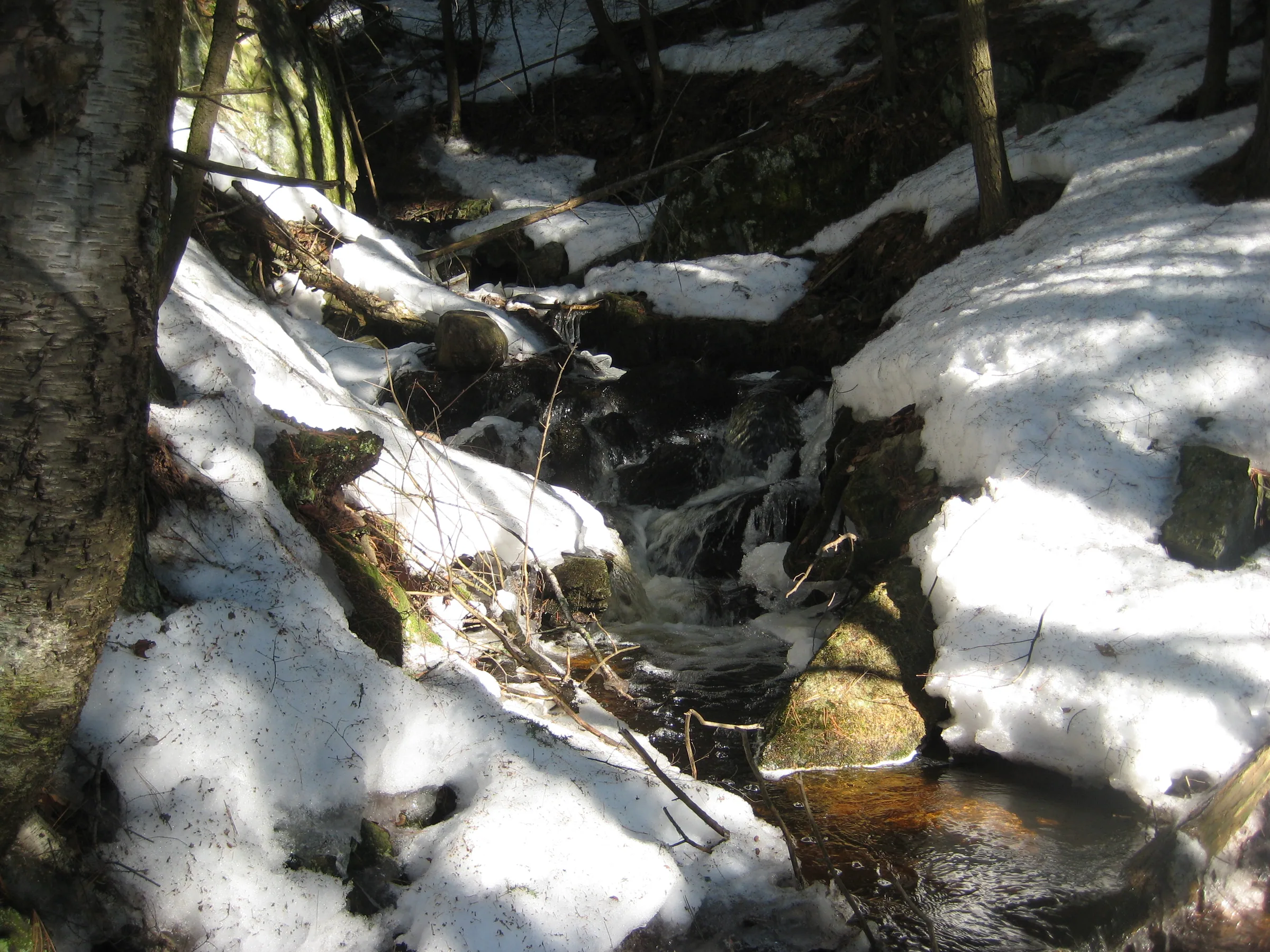
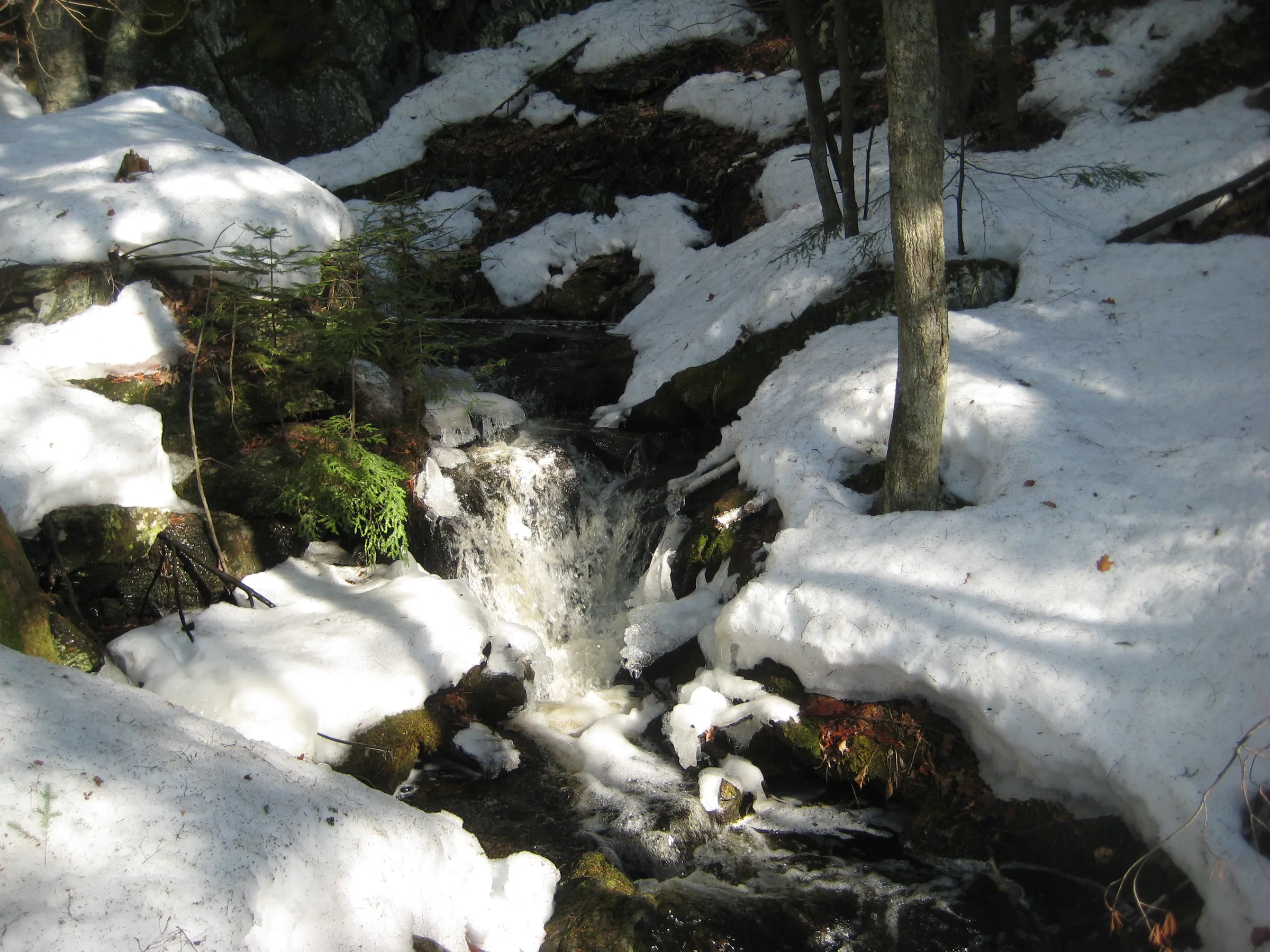
The land extending northwest from Forestville Basin and the Dead River rises sharply over multiple rocky slopes and outcroppings. One of the creeks that flows off of this land is Holyoke, a tiny trickle of water that drains a sparsely populated sandy plain. Along the rocky journey this creek forms a long chain of drops, collectively called Holyoke Falls, before flowing under the LS&SI tracks and joining up with Reany Creek. The individual drops are small in size, nestled between green mossy boulders and flowing over cluttered logs.
Directions
Turn north onto County Road 492 (Wright Street) from US-41 on the west side of Marquette. After a quick right turn head left on Forestville Road (should be marked with some recreational signs) about .6 miles after leaving US-41. Keep on Forestville Road, over the one-lane bridge, for about 2 miles. Stop at the parking area within view of the old power station, near the outhouse.
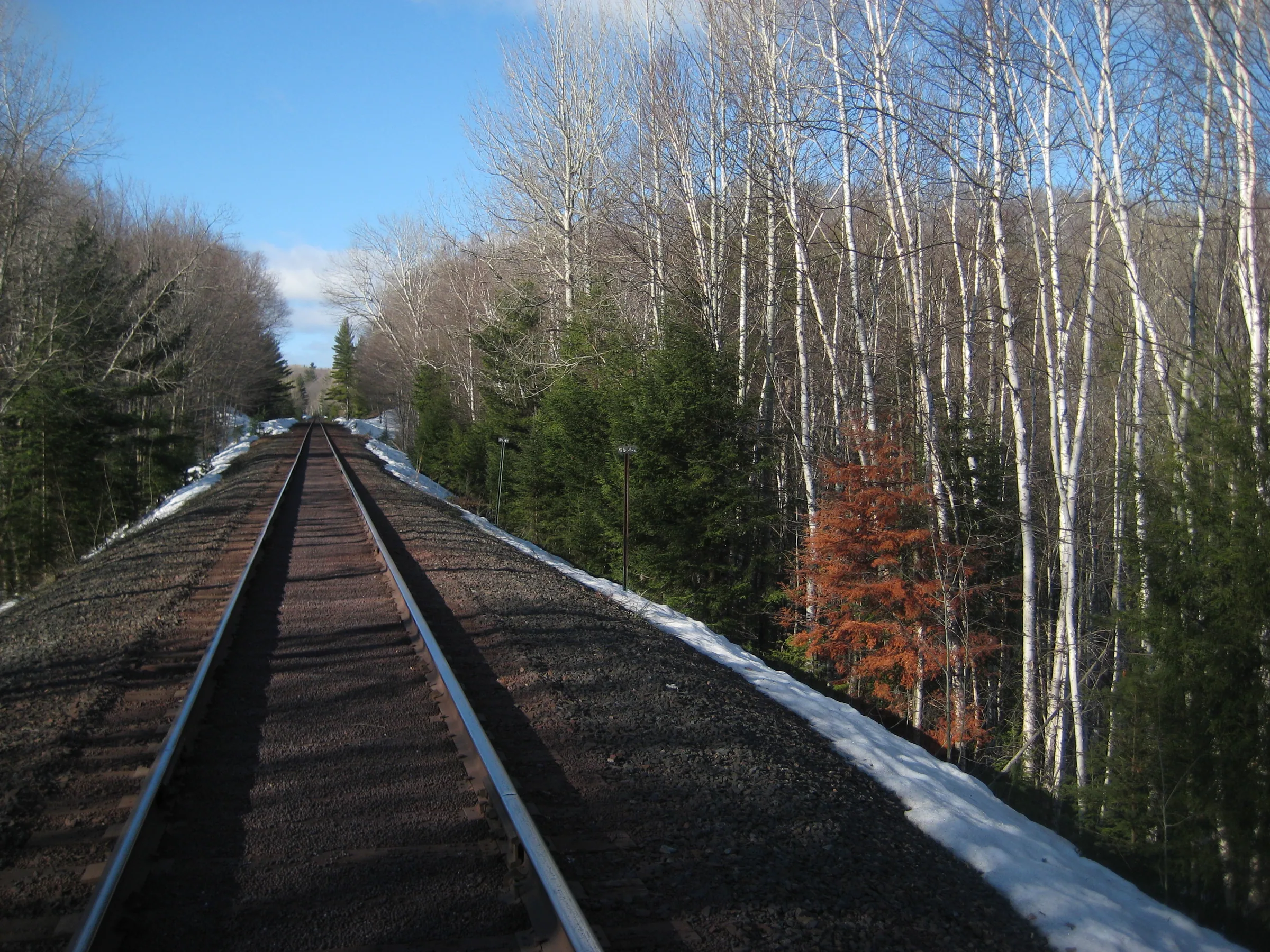
Circle back up the road on foot until you walk over Reany Creek. A pretty waterfall sits here, Reany Falls. Head up the creek and avoid walking on the private drive. The creek flows under the drive twice. Before the second pass it bends sharply to the north, getting close to the tall LS&SI grade. Climb up the grade and follow the train tracks to the left (west). Holyoke will be the first creek to flow under the tracks, a bit over a half mile down. Head to the right down the tracks to see the falls, which continue uphill almost to the power lines above.
Photographs
Visits
Seen in April.
- many of the drops still covered up
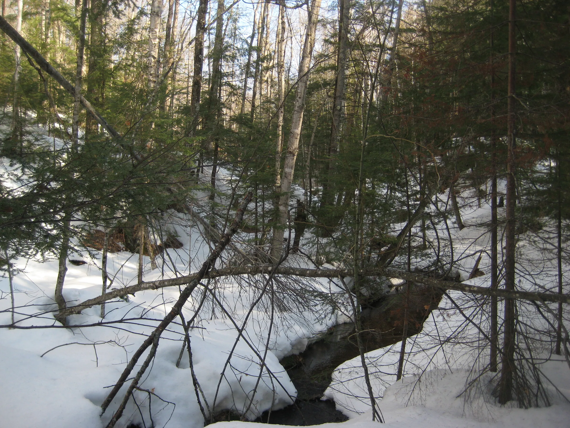
It was a tiny thing, less than a third of the size of Reany Creek, when we found it pouring into a tiny grated drain on its way under the railroad grade. Thanks to the small size of the creek many of the drops were still covered up. We still wandered up along its length, taking a few pictures of the tiny chutes and mossy rocks around. This is one of those little creeks that probably dry up in the summer and get all choked up by dripping moss. At least there were a few good flows today.


Comments
6 comments
The RR Grade can also be accessed from the North, cross the RR tracks on the bend of Forestville road and head west parallel to the tracks at first. At the end of this road, a wide path heads south almost to the tracks. Could also walk tracks right from Forestville road but would be a long walk. Head west(right) on tracks. Should be noted that the MUCH more interesting Upper Reany falls can be reached this way by going a little further past Holyoke. Finally, The same tracks can get you there from the West at the end of Neejee road. All these paths avoid private property with the exception, of course of the fact that RR grades are, in fact, private property themselves....
Thanks for the heads up, Mark! That is a good point - it is hard to avoid private property when approaching from the main Reany Falls. Sounds like there are a lot of other options around this, even if they all focus on the tracks.
Nice pictures. Thanks...they are both on my land. Keep it clean
Thanks Jim, great to hear from you. Hopefully you don't have to deal with too much disruptive traffic!
Nope not much traffic !,,! :-)
J
Absolutely! I think MOST people(there are exceptions) who go this far out of their way just to see waterfall have a pretty deep connection and respect for the place. I sincerely hope I am right....
Leave a comment