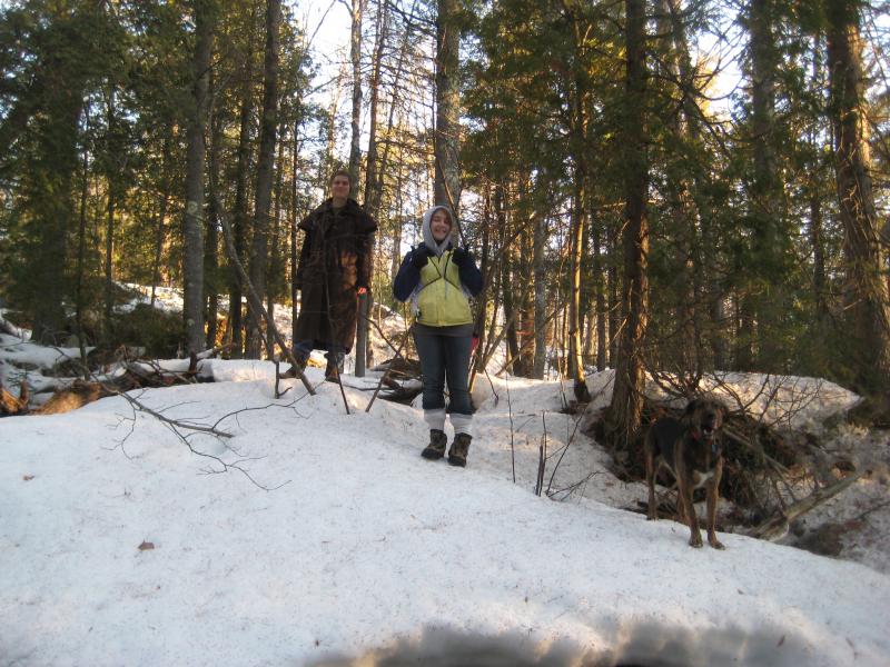
As the snow continued to melt into creeks and rivers I began to look westward beyond Baraga. There was more to find out that way, waterfalls that I had only heard rumors of and had waited all winter to hunt down. Taking Faith and a newer hiking companion, Mike, we drove down US-41 in the predawn darkness to do some exploring around Marquette.
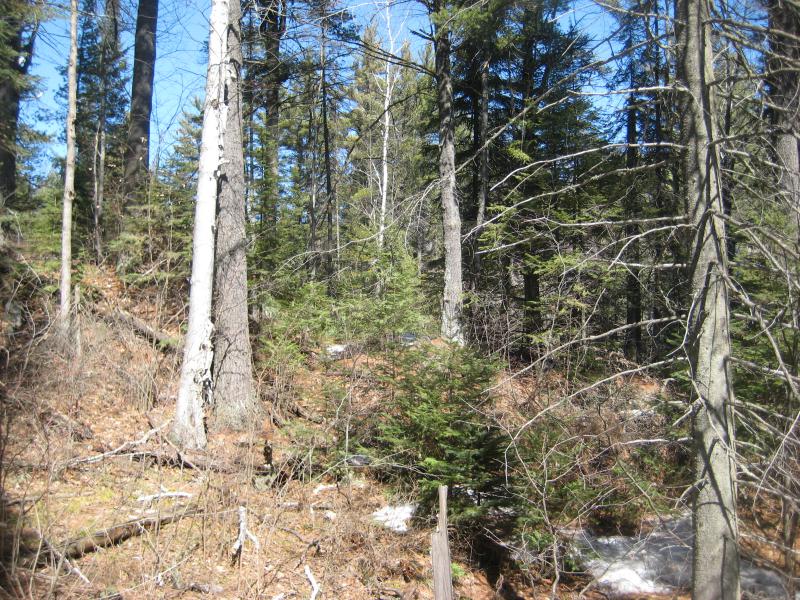
Sun filtering slowly through the forest
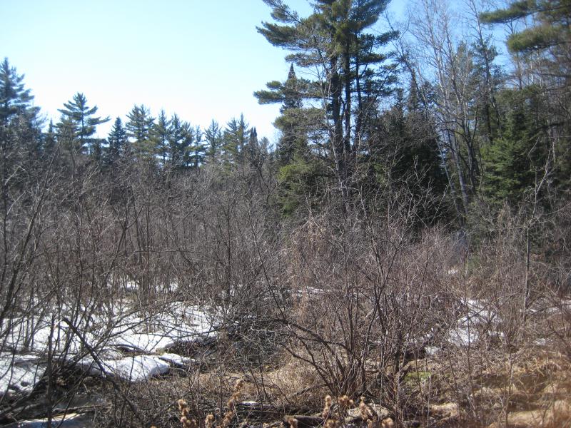
Last year Katie, Logan, and I had a great snowy hike along the Dead River by Forestville, following well-trod paths up the river past a half-dozen different drops. I later learned that we drove right past Reany Falls on the way, a small drop some hundred yards from the Dead River Falls parking area and visible from the road. That was our first stop today, or rather, the start of a long circle hike east of Forestville Basin.
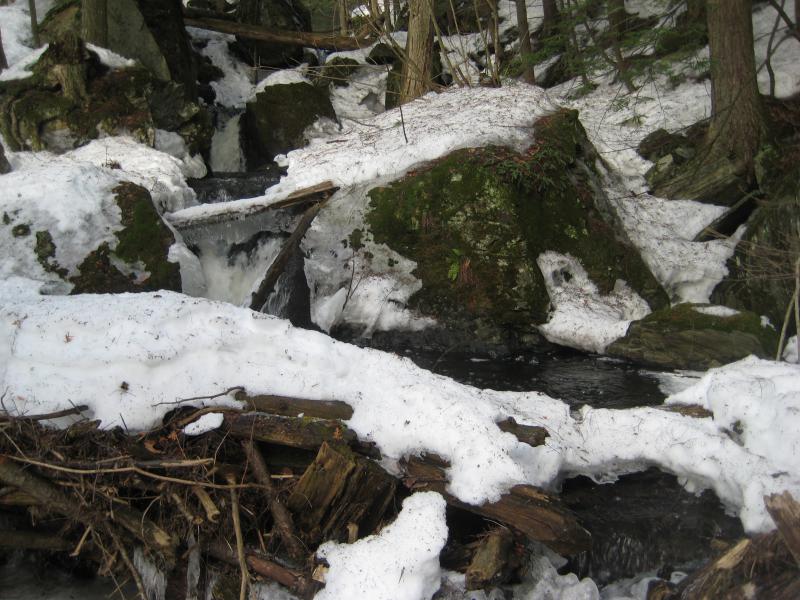
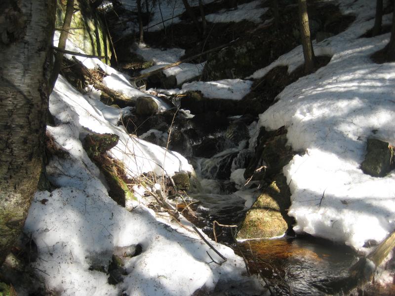
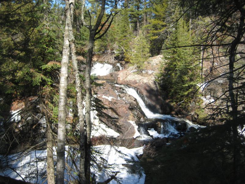
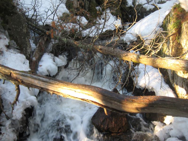
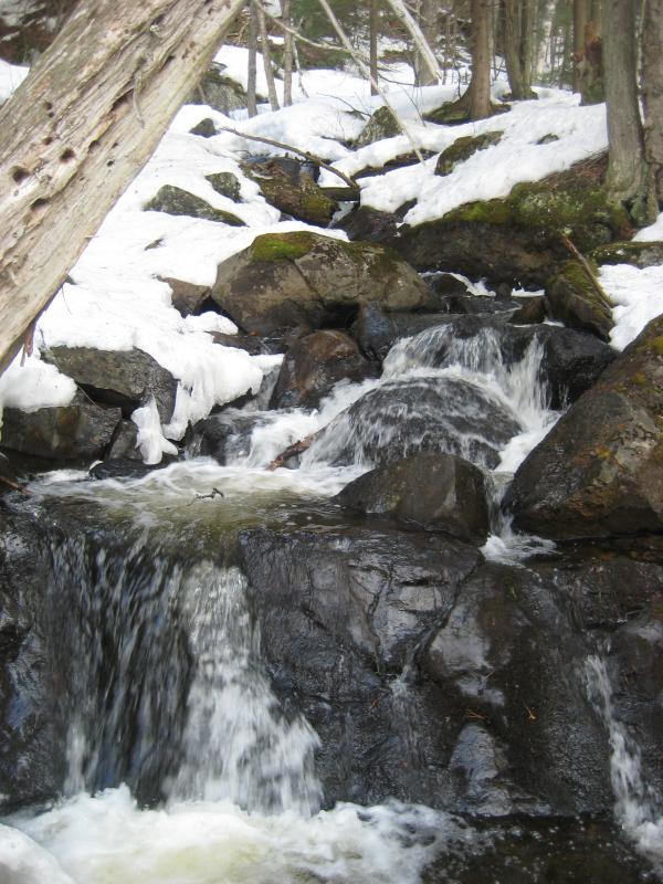
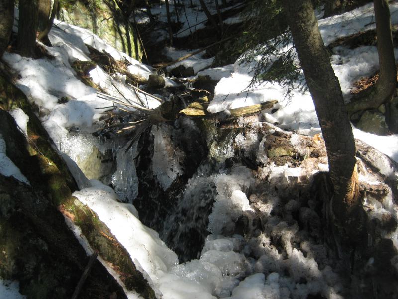
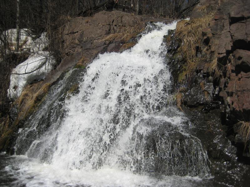
We parked and quickly backtracked down the road to the bridge over Reany Creek. Faith and Mike headed upstream right away, pushing their way up the snowy banks towards the little falls, and I opted to go under the bridge. There were a few small foaming chutes below the metal grating I wanted to photograph. Plus, staying close to the little creek gave an intimate view of the triple drop of Reany Falls with the first morning rays lighting up the nearby rocks.
Reany Falls triple split
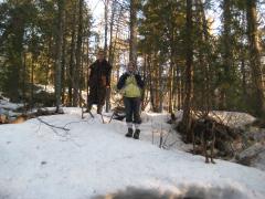
Faith and Mike high up on the bank
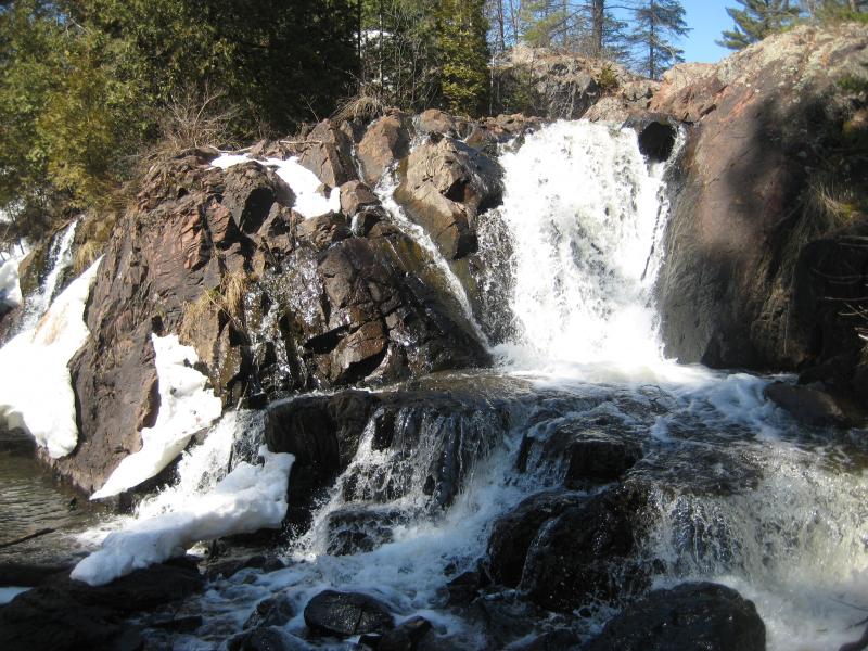
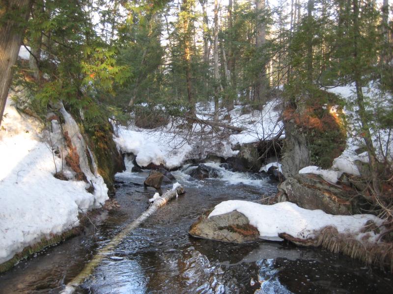
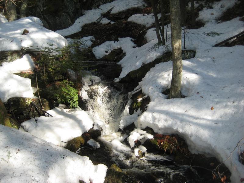
The icy banks and steep rock boulders did not let me stay long next to the creek. I was forced up with my hiking companions to walk high above the cold waters with only the occasional glance down at the upper falls. There wasn't that much to see. Above the triple drop there was a few frothing chutes, one wide drop mostly covered in snow, and then the creek mellowed out through a flat forest. We had a long walk ahead of us now.
Calm upper stretch
Our plan was to follow Reany Creek up for a mile or so before cutting north to Holyoke Creek to look for falls near the LS&SI tracks. Then we'd follow the tracks east to rejoin with the upper stretches of Reany Creek for some more possible falls. If we were doing good on time we could then cut over to the Dead River and follow that downstream back to the car. It was an ambitious plan that involved plenty of bushwhacking and probably wouldn't work out.
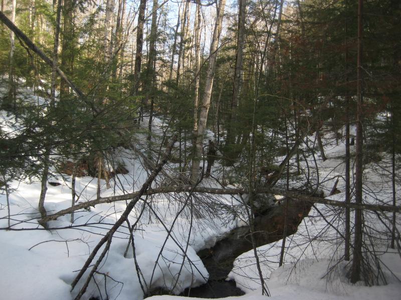
Following Reany Creek upstream proved to be rather difficult. The snow was crisp after the cold night, crisp enough to hold one's weight for a few seconds before giving with a sharp drop. And the trees were thick and clawing. I eyed up the nearby private drive, trying to judge the risk, and finally led the group up onto the dirt road.
I was uneasy on this road, too aware of the cabins down the short ways, and came up with a quick escape. High above us to the right were the train tracks, which would take us straight to both upper Reany and Holyoke Creek. When an animal path led up the hill we took it, quickly climbing up the snowy slope, and broke out onto a wide and well-used railroad grade. The little pellets of iron ore made for an unnatural bedding around the ties.
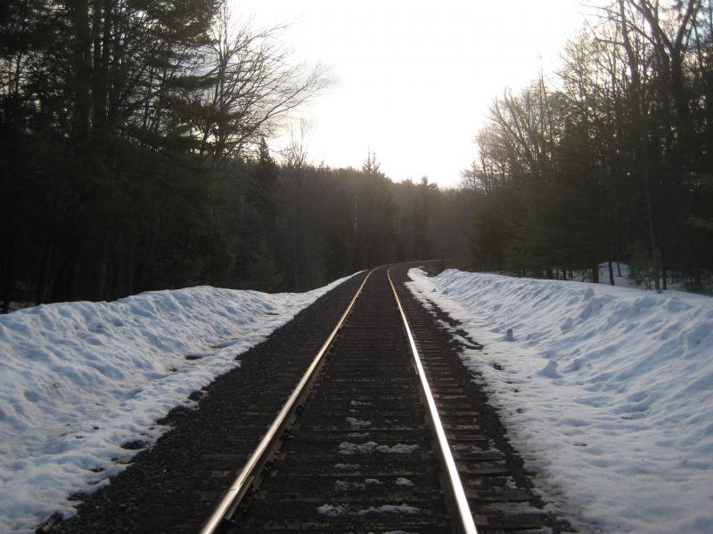
Snowy train tracks stretching away
We headed east along the tracks, skipping from one tie to another, pleased to be out of the snowy woods and off the private drive. Not that walking the rails is that much better… Shoot, none of us even knew if it is legally frowned upon. As we walked we talked, filling the empty space with random chatter, and I neglected to watch the GPS. We passed by the quiet little Holyoke Creek without notice and bumped into the upper stretch of Reany Creek before I noticed anything.
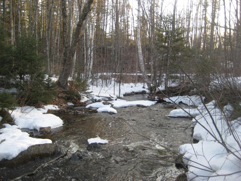
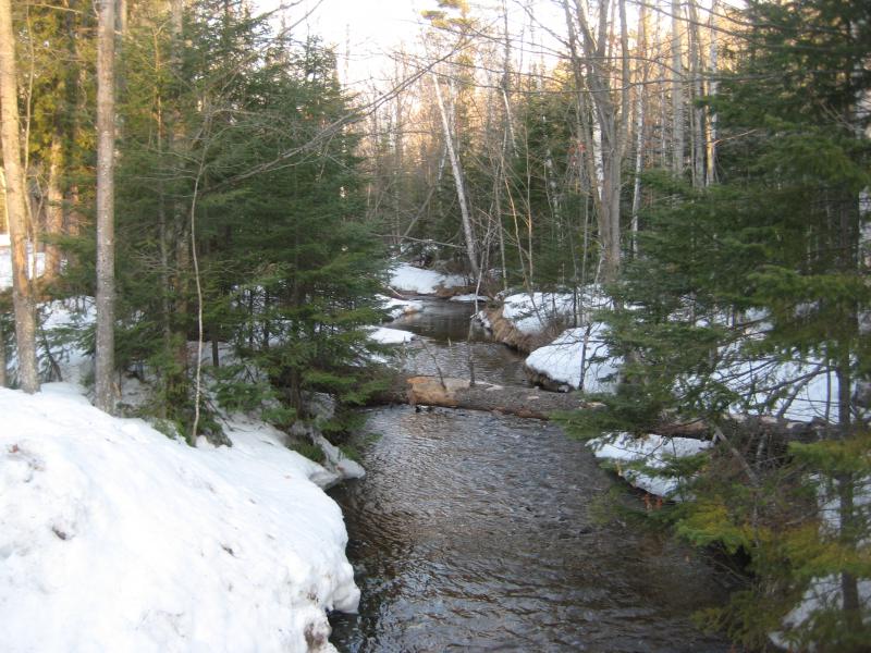
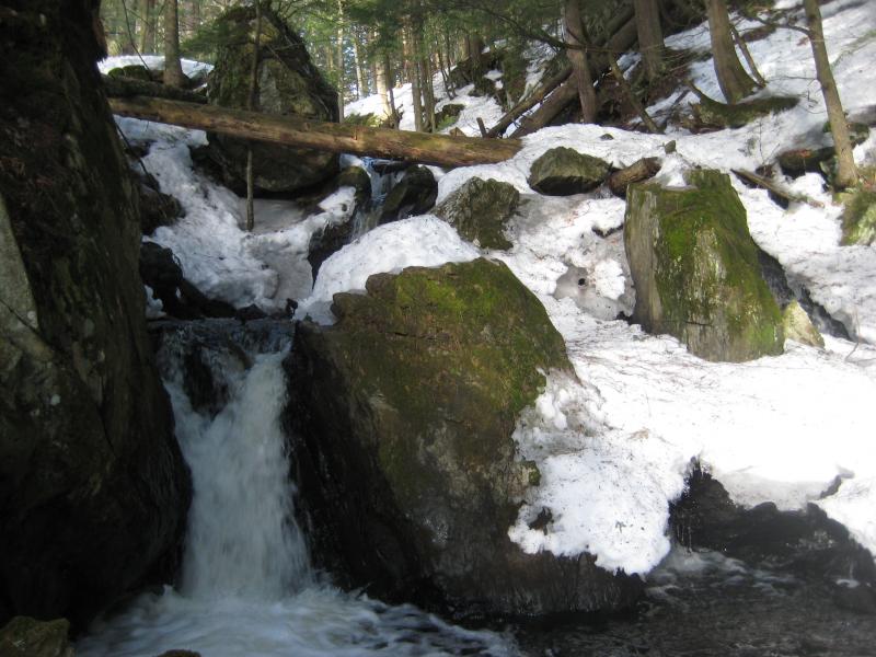
The planned route was already unraveling anyways. We headed down to Reany Creek, hearing the distant rush of waterfall ahead, and made our way up the rushing creek. It seemed larger here than it had downstream, more frothing water flowing down towards the Dead River, though that could have been a trick of the deeper snow or thicker woods. Then the waterfalls began to show up.
Wide creek surrounded by snow
Some of the lower drops
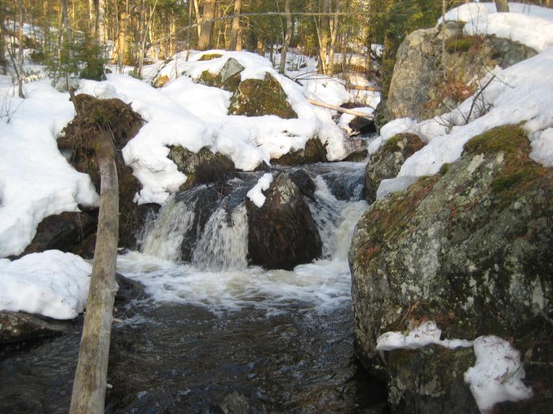
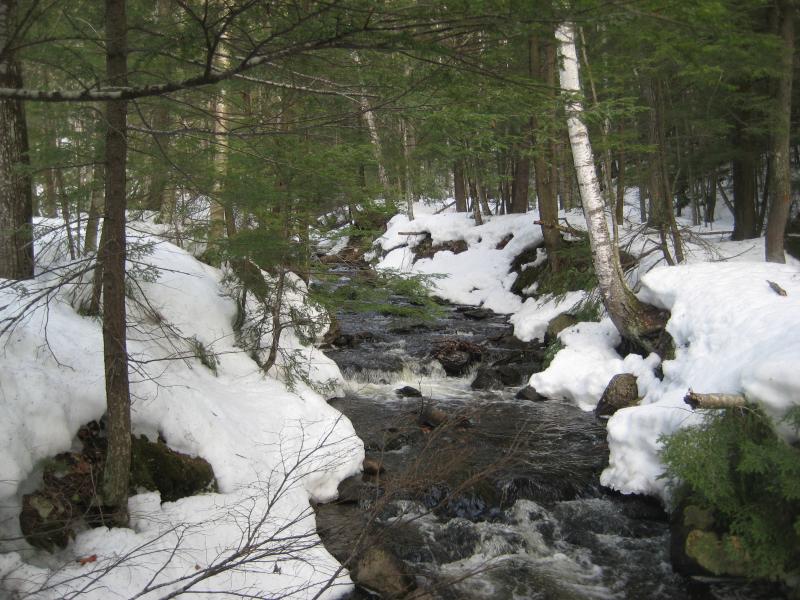
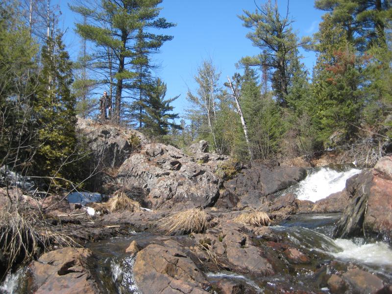
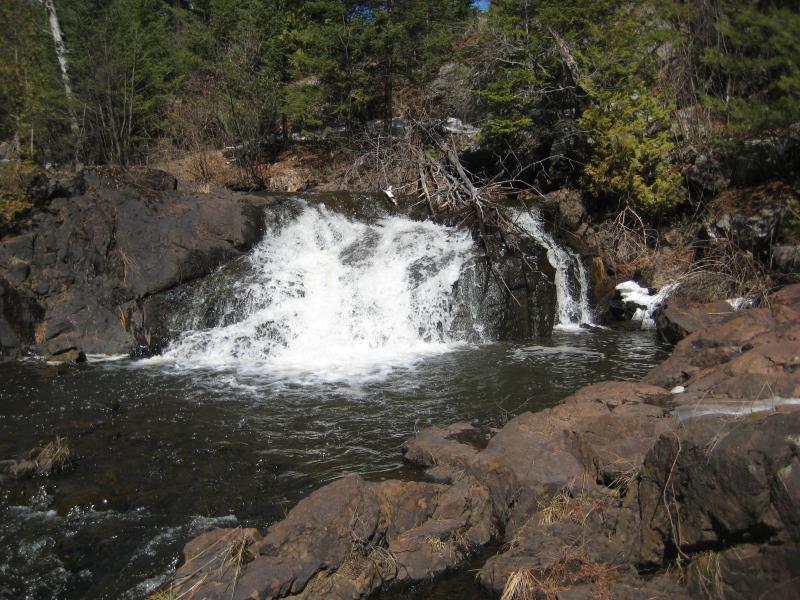
Those named falls far downstream, the popular triple split of drops down by the road, didn't stand a chance compared to the waterfalls ahead. The creek split into two streams of cascading whitewater down a steep, rocky hill, falling around 200' over a very short stretch. There were a few drops that were still encased in winter yet most showed their face, different chutes and tumbles and plunges crammed between house-sized boulders. We picked our way slowly up the hill, not willing to miss a single drop, drinking in the variety of the scenes unfolding before us.
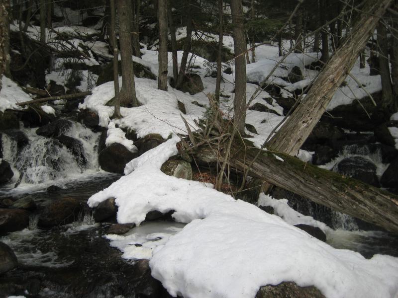
Logs jamming up the creek
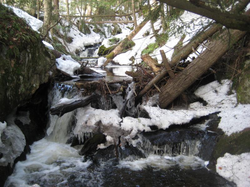
Jumbled logs blocking the creek
When the falls began to smooth out we stopped and reviewed our options. Holyoke Creek was back to the east, though backtracking didn't sound like a lot of fun. We could try our luck climbing up to the power lines, or we could cut through the woods. The woods and snow didn't sound like a lot of fun. We decided to cut south, the shortest way back to the railroad tracks, and backtrack there to where we had missed the drop down to the other creek.
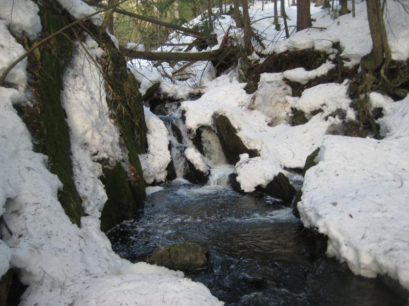
Soon we were back on the tracks, and a few minutes later we were looking for a way to drop down to Holyoke Creek. Unlike Reany Creek we didn't hear it from the tracks, all sound either muted by the forest or snow, and it took a bit of hunting around to find the little creek. It was a tiny thing, less than a third of the size of Reany Creek, when we found it pouring into a tiny grated drain on its way under the railroad grade.
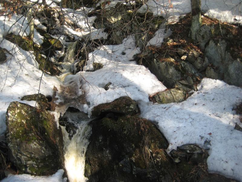
Small narrow chutes between rocks and snow
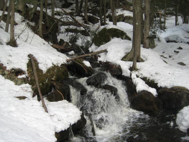
Thanks to the small size of the creek many of the drops were still covered up. We still wandered up along its length, taking a few pictures of the tiny chutes and mossy rocks around. This is one of those little creeks that probably dry up in the summer and get all choked up by dripping moss. At least there were a few good flows today.
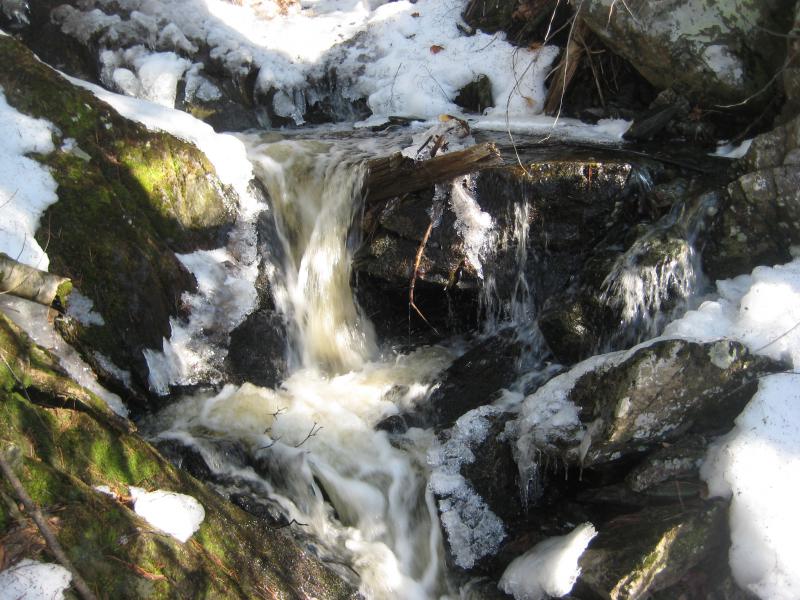
A frothing little drop
Deep narrow canyon
Once we reached a mellowed out section I stopped us and we reviewed our options. Cutting down to the larger Dead River Falls was out of the question. The terrain was rugged, woods thick, and snow softening in the morning sun. Instead of cutting south, or following the creek back downstream for a retreat along the railroad tracks, I decided to head upstream. There was something I wanted to checkout.
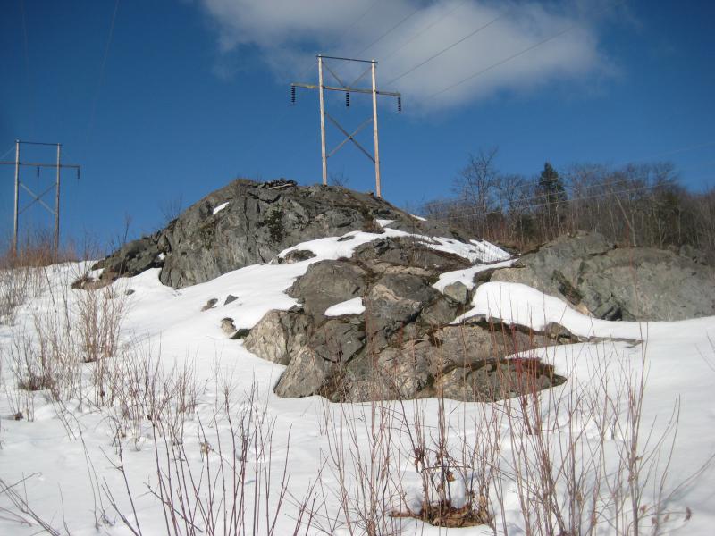
Going upstream was not easy. The woods crowded close to tiny Holyoke Creek and the snow began to pile up deep within the tiny creek valley. The three of us trudged onwards, stomachs growling loudly through our exertion, until we finally broke out of the woods into a huge clearing. A trio of powerlines stretched high above us. With any luck, we'd be getting a view of Lake Superior from this cut swath of area.
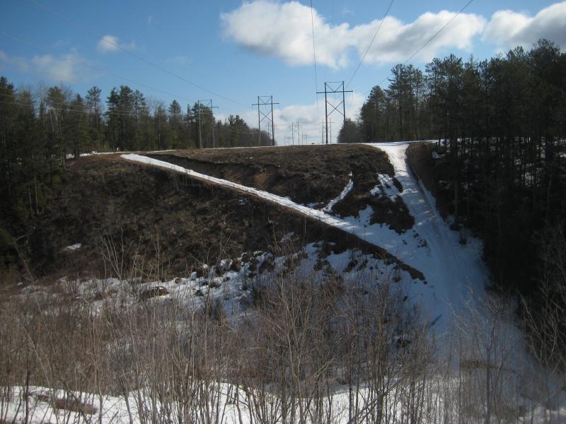
Powerlines high up on the hill
The best way to get a view involved heading west, though, away from our car. We trudged along the open powerline area over hard rock and snow. This was much easier than hiking in the woods. The open air above had melted away much of the white stuff, leaving broad stretches of dead ground exposed, and snowmobiles had made use of the winding access road. If we weren't walking on squishy earth there was always the hard-packed snowmobile tracks to stride upon. We climbed up the western knob, gaining a hundred feet or so over a much longer distance, until a narrow strip of blue showed up. It wasn't as much as I had hoped for, but it was Lake Superior, and we stopped and rested under the buzzing lines.
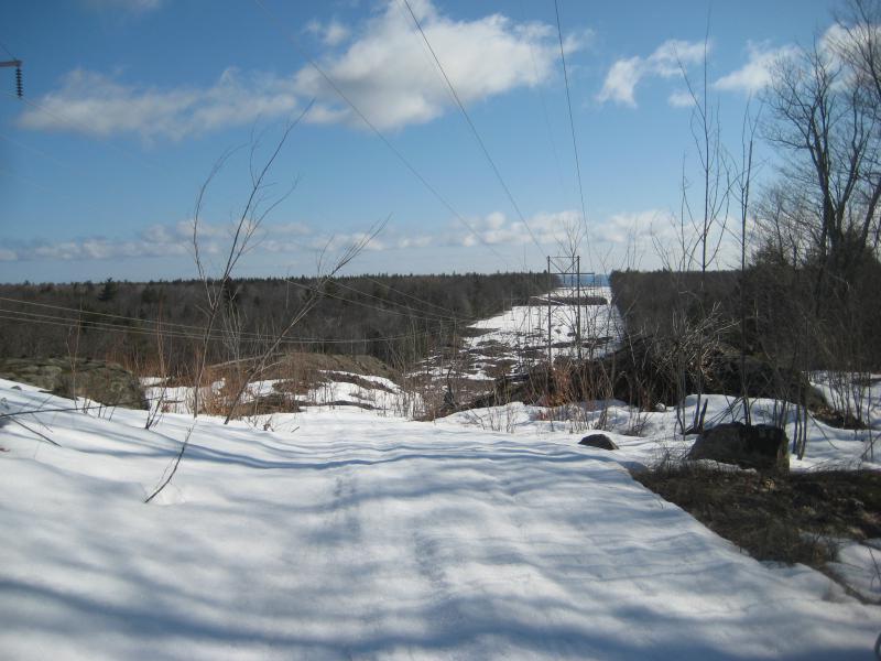
Snowy path down to the lake
We were back near the upper falls on Reany Creek again. Our path had been a weird one, doubling and circling back on itself, almost as if we were practicing cursive with our GPS route. Now it was time to cut back south to the railroad tracks. Without much fanfare I picked a little break in the woods and led us back into the thick and rough terrain.
I led us right to the top of a steep cliff, then through a thick swamp, before we finally bumped into the railroad grade. By the time we reached the tracks it was well past time for lunch. All of us were hungry and short and we walked quickly back to the car, not spending much time looking around the bright forest from the high and level grade. A quick stop at Jimmy John's cheered us up, fresh food and carbonated sugar for lunch, and we discussed afternoon plans.
We still had an hour or two left before we had to turn and head back to Houghton. Not enough time to return to Dead River Falls, or to tackle the more impressive drops up by the McClure Basin, yet too much time to just throw away. I was relatively happy with the day so far, having added three new falls to the list, and wanted to show Faith and Mike some of Marquette's more impressive sights. So we headed south to Palmer.
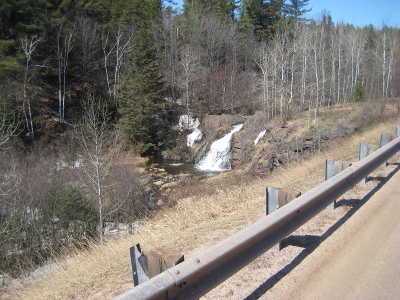
Looking down on the falls from the road
Warner Falls is not a terribly impressive spot to visit. It's visible from the roadside, maybe eight feet tall, and the creek is not much larger than Reany Falls. Yet it was an easy stop that took mere minutes and also brought us close to the giant heaps of poor rock from the iron mine. After a few quick pictures we left and headed even further south along 565.
There was one last spot I wanted to bring Faith and Mike too. I had visited Schweitzer Falls last fall with Katie and had gotten some dusky photos of the swamp-surrounded waterfall. Now, with the spring melt and sunny day, it was a good time to get a few brighter photos. We parked near the wooden bridge and followed the two-track before cutting off into the woods. If we thought the woods along Reany and Holyoke was thick, this stuff was impenetrable.
A thick and confusing forest
Looking down at the drop
We broke through the thick woods and came out above the roaring and rushing drops. They were not overfilled as I had hoped, though they were sufficiently large to impress my companions. We headed over to the falls, each tackling a different approach. I headed down to the base to get some intimate angles, Mike headed up to conquer the upper drop, and Faith stayed back and just enjoyed the view.
Close up of the lower chutes
Mike standing above the upper falls
Once I reached Mike at the top he led us back to the far bank along a faint animal path. Of course Faith was gone. We called out a few times before finding her, half-lost on her way back to the car, and all three of us made it out there safe. It was past time to leave now. We jumped in the car, making sure that the wet Logan stayed in the back (oh yeah, did I mention we had my dog along too?), and zipped back up 35 and back to Houghton.
That was it. We made it back before Mike's engagement, only just. Our first return to Marquette waterfalling had been a decent success. There was still plenty of new spots to scout out that would bring me back here, too. After four months in Houghton/Keweenaw/Baraga counties it was nice to wander around the Iron Country for a little bit.


Comments (0)