
Douglass Houghton Falls
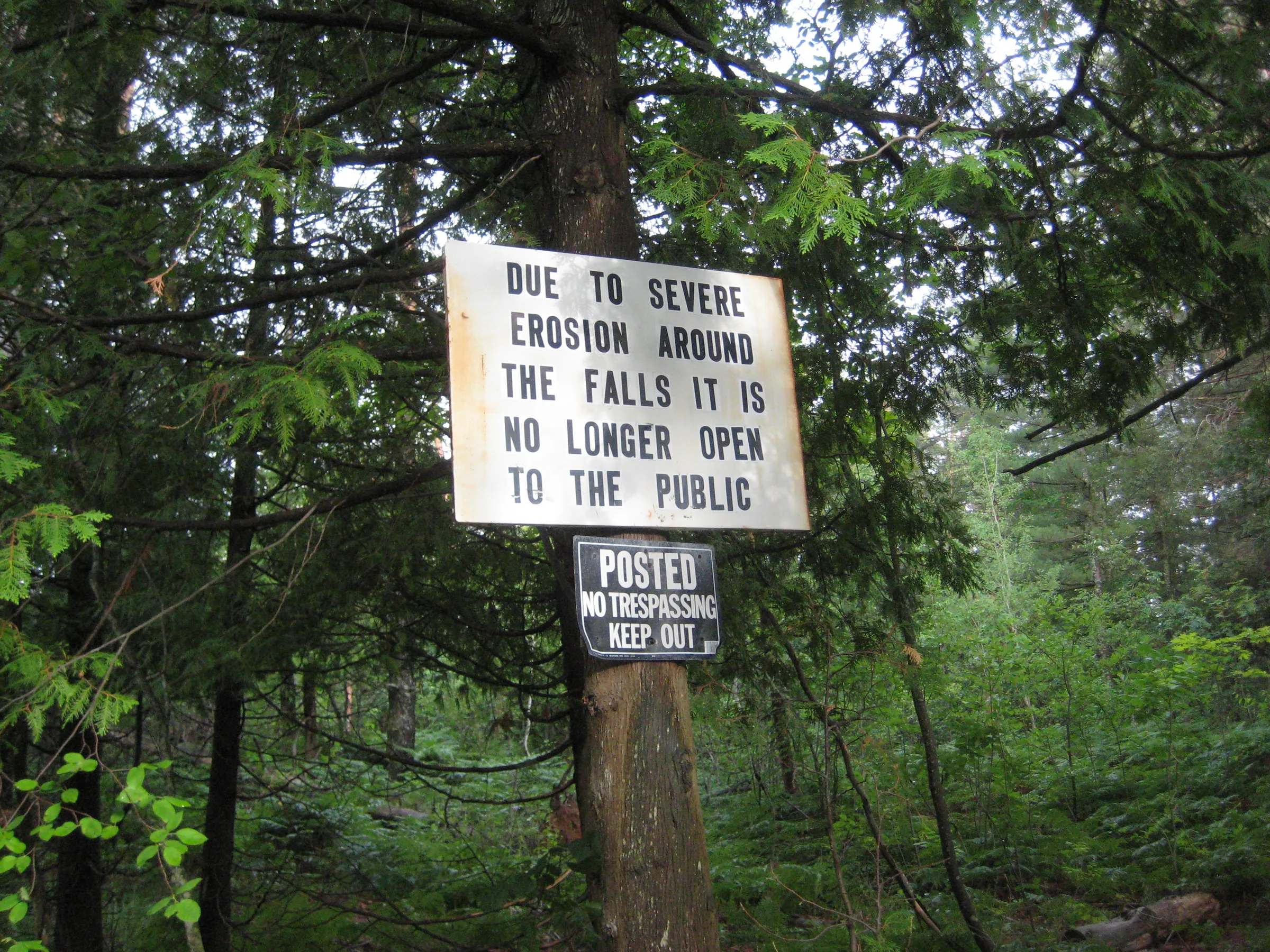
A wildly tall and impressive waterfall, Douglass Houghton Falls was once a popular destination for locals and Michigan Tech students alike. Crumbling cliff walls and numerous accidents, many of them fatal, pushed the land owner to cut off access for years. The State bought the property around 2021, and in May 2026 it reopened as the Houghton-Douglass Falls and Veterans Memorial Scenic Site, run by the DNR. That is the name on the signs and in the press, and the older order of the two names, for Douglass Houghton and his cousin Columbus Christopher Douglass, though most locals still say Douglass Houghton Falls.
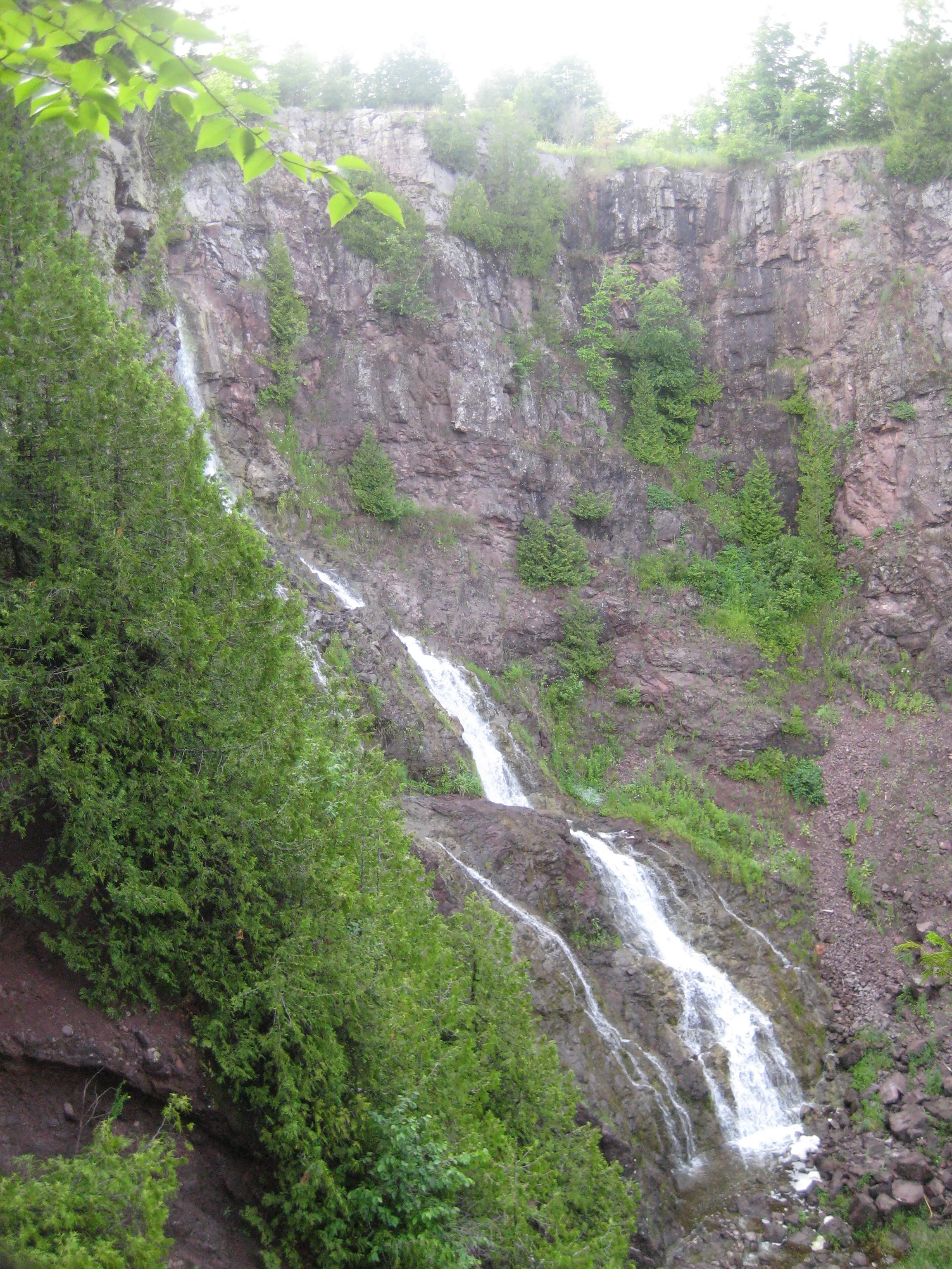
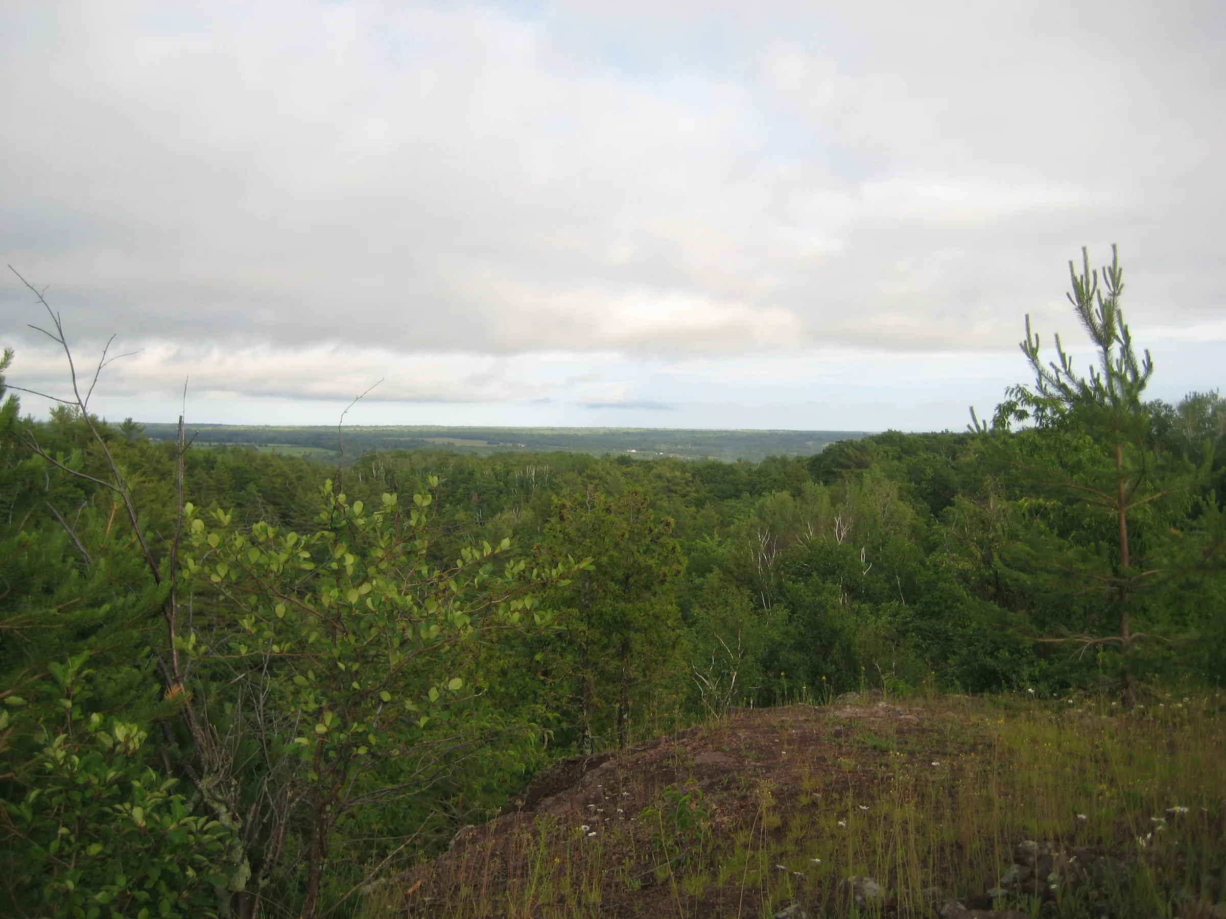
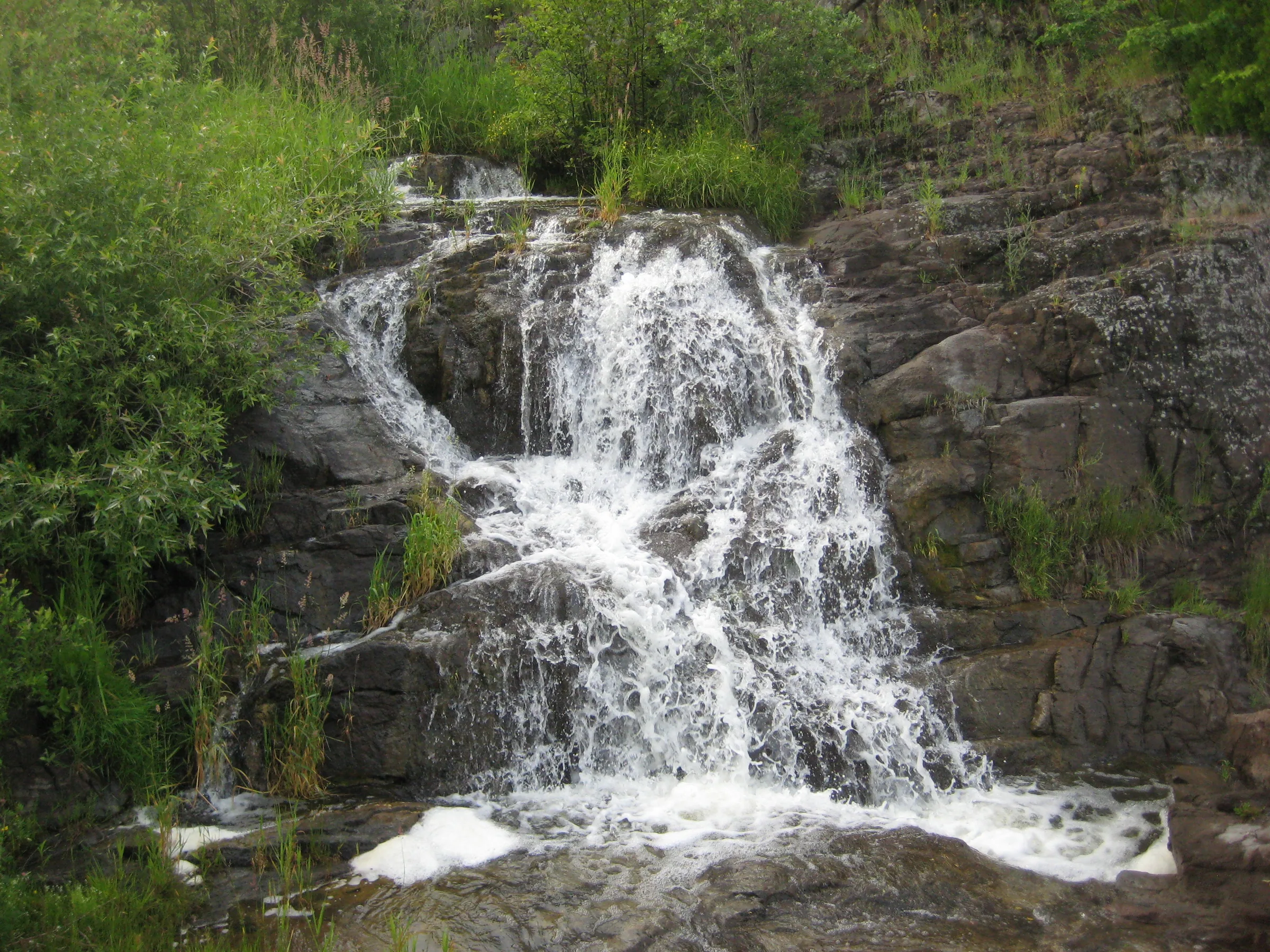
This waterfall is well over a hundred feet with several plunges bouncing off the sharp, volcanic rock. Steep walls make it difficult to reach the small drops in the meadow above, but a great view down towards Torch Lake can be made down the green creek valley. A small exploratory shaft is drilled into the side of the falls only a few feet above the creek. While it’s hard to reach and dangerous to explore, this waterfall is one of the highlights of the Copper Country.
Directions
The scenic site entrance is off M-26 between Lake Linden and Laurium, about a mile and a half north of Lake Linden, with a paved parking area, a vault toilet and no fee. A paved trail runs about a quarter mile to a pedestrian bridge over Hammell Creek above the falls, and that is as far as the built trail goes. Getting down to the falls means leaving the pavement for a steep, unofficial path into the gorge, with mud, roots and narrow ledges over long drops, and nothing built to keep you from them. Stay well back from the edges: the platforms, railings and the rest of the trail are planned for a later phase, and the site closes while that work is under way, so check the DNR’s page before driving out.
Do not go up Hammell Creek from Lake Linden. That was the old way in, and it has been impassable since the 2018 flood and crosses private land at the bottom whose owners have had enough of trespassers.
Photographs
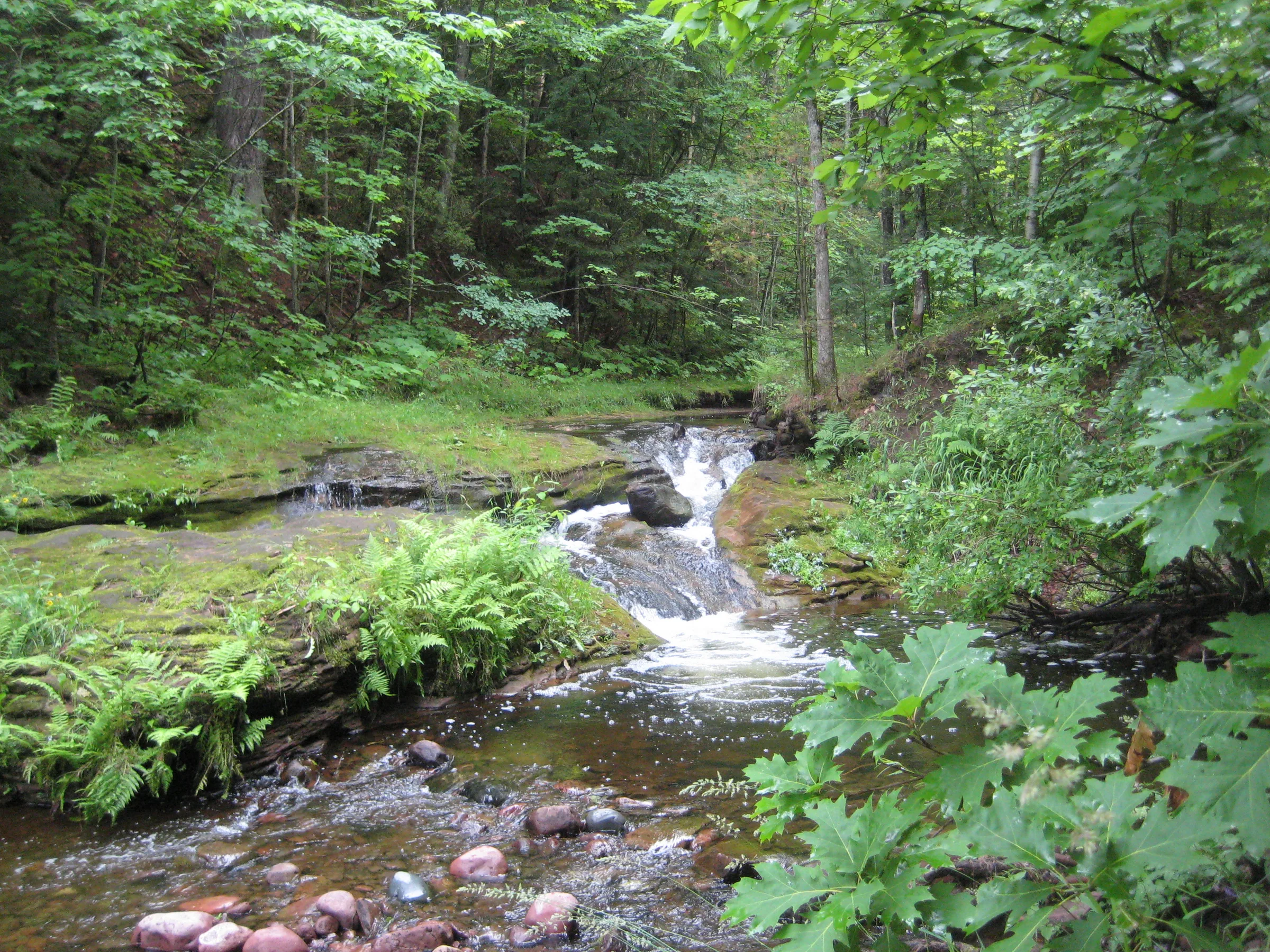
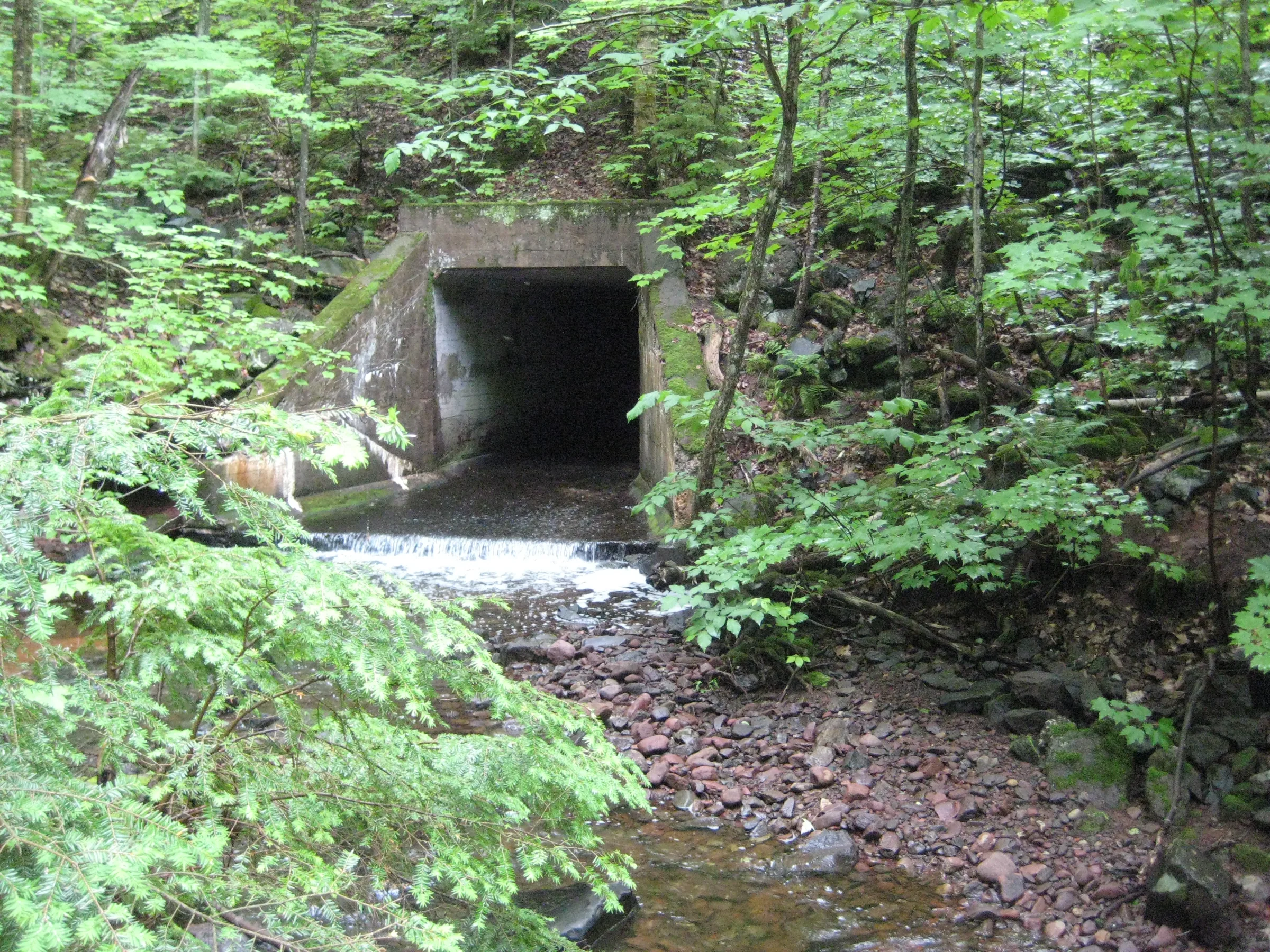
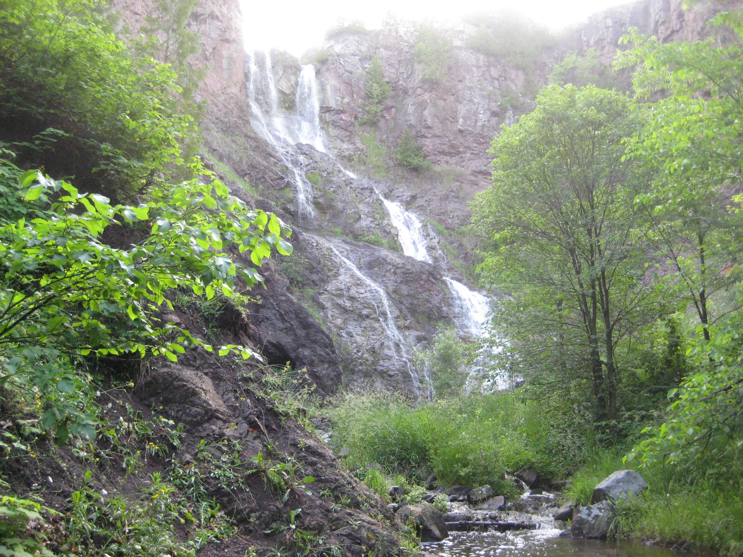
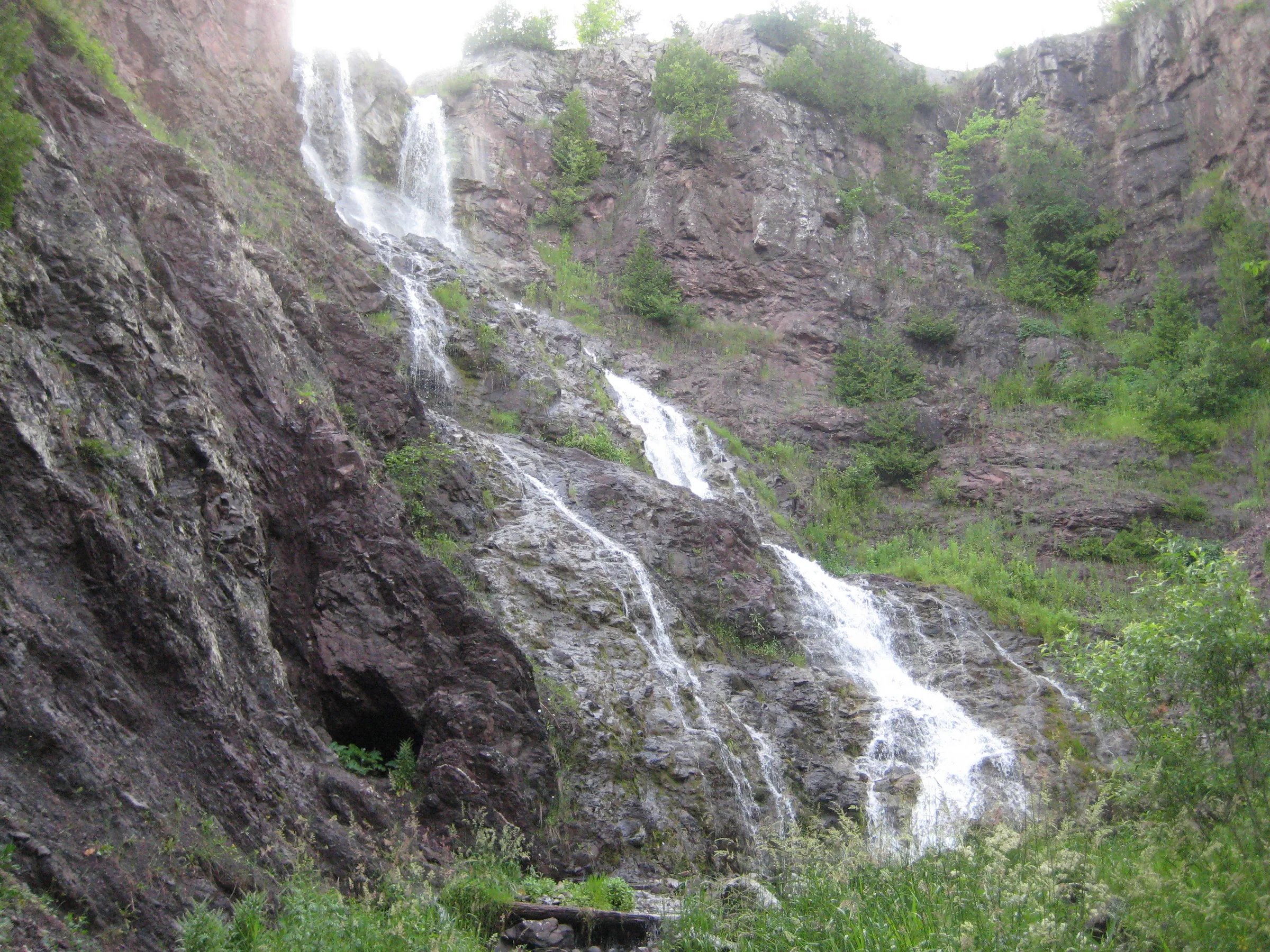
Visits
Seen in March and July.
- many times larger than in summer, though not full melt
A few bends later and a wall of foaming water filled our sight. It was many times larger than when I had seen it last summer, a huge curtain plunging down the hard rock valley, and we stared in wonder. A camera would be perfect right now. It wasn't full melt yet, not that I could tell. There was still a lot of snow around the falls and, while the creek looked full, it was easy to imagine it being overfull. Faith and I circled around the bottom and let the cool mist coat our faces. This, this was undoubtedly a waterfall.
This waterfall is by far one of the most impressive sights of the Keweenaw region, over a hundred feet in height, cascading down the enormous scoop of a valley. To emerge from such a peaceful wooded creek to this open, impressive waterfall with little warning was a real shock. A large chunk of rock jutted out mid-way down the plunge, almost making the falls two-tiered, and the water splattered here and slid sideways for the second half; one thing that really stuck out was a round shaft on the left side of the creek, remnants of some mining exploration.


Comments
36 comments
You have a mine shaft located right by the falls on the map -- any clue what that is? Is that supposed to be there?
I've heard rumors about it being an exploratory shaft, and it's shape and structure looks suspicious. I only crawled in a few feet, but it has a nice rounded top and goes pretty straight to be a cave.
A few friends and I explored this shaft with a flashlight. It is a dead end, although thoroughly creepy. If you plan on exploring it, bring a light and watch your head.
That is a old copper mine.
It is an adit entrance that goes in horizontal rather than vertically. It's carom the Douglass Houghton Mining Company, an early mine in the area it never produced enough to talk about...little to none
the tunnel goes back, not sure how far, to a point where you can stand. It then makes a 90 and continues behind the falls, where it stops.
Behind the falls? Dang. That would be neat to crawl back to.
Spoke with the property owner, this was an exploratory shaft that, luckily for the falls, was unsuccessful. He said it goes back about 60 feet.
Ah, interesting. Exciting that you got to talk to the property owner! Did he give you permission to visit the falls?
Just saw this post...yes got permission and visited falls...will be going public in near future...
Since the June 2018 flood this route is impassable. Tried to find highland on the ridge and was unsuccessful. My advice is to try to get permission for the short route or find some other falls. Dead River Falls in Marquette is a nice hike. And the Presque Isle River hike in the Porcupines is excellent!
Used to rappal down into the gorge and a little bit of rock climbing. Yes, explored all the way to the back of the tunnel.
Oh wow, that's pretty neat. Must have been very exciting to rappel down the gorge, with the waterfall (depending on the time of year) thundering down nearby.
I have in-laws from Lake Linden who said last week that the property had been acquired for public use. Unsure of its current accessibility, but look forward to its reopening. My fiance speeks highly of it from her access decades ago.
PS If in the area, seek permission from the landowner and see the Natural Wall only a mile or so further northeast. The Wall, Houghton and Hungarian Falls, and Bare Bluff (up Bette Grise) are all fantastic exposures of the Keweenaw Rift Fault.
Went exploring a few days after the June 2018 flooding in the Keewenaw to see the falls in full force. We had planned on walking down the rail-trail from Normand Rd and following the creek, but the rail-trail was severely washed out and required climbing down, across and back up a steep and muddy 50ft section that was missing. Once we did that we found they have already cut a rough road back to the falls for improvement and are running electricity back there. This service road is also severely washed out (the missing part of the rail-trail is actually part of it as well,) but there are improvements happening. Hopefully it's not more than another year that this falls is made safer and more accessible. You can actually see the road taking shape on google maps, though it doesn't quite reach the falls yet. Either way, in addition to the danger they already presented, be on the lookout for construction crews pissed you're trespassing and in their way now.
Thanks for the update, Scott!
The correct name is Houghton Douglass Falls. Named after Douglass Houghton and his cousin CC Douglass.
I suggest updating the listing to prominently announce the upcoming State Park and asking people to stay out of there so they don't get in the way of construction.
Thanks.
Are the falls back open to the public yet? Heading up there in August and hoping to show my daughter them! If they are not can you still follow the creek and get access to them?
Hi Brian - I haven't seen or heard any update on the falls, so I'm assuming that it is still under construction. Also, based on Ahmeek Jim's comment above, I'd recommend avoiding the area while it's under construction. If you're looking for some good spots to visit in August, I'd recommend Hungarian Falls or, for a more rugged adventure, Montreal Falls.
I was trying to find my way there from the highway in mid-May 2019. I went on a dirt road with a small parking area just off the highway that had private property on each side, down to where the construction is. Tried "peeking" in, as I could hear the water running, but I could not get enough of a view through the trees to even see it. Wondering if it will be open yet this year...
This site is now owned by the state and plan is to make it a veterans park. There was a dedication when the land changed hands but nothing has been done since that time which was now least a couple years ago. When last checked the DNR was waiting for money to allocated for development and that was before this shut down and they have not even done a engineering study on what the design of the park would be. I believe any construction that is being talked about was for a power line that was run though the property to head out to the Gay area.
The falls can be accessed from above by parking on Hwy M26; about half way between Lake Linden and Calumet watch for a pine stand with a faded orange flag tied to a small pine on the east side of the road. There is a small trail behind the flagged pine that quickly skirts the creek and is about a 5 minute walk to the top of the falls. Exercise extreme caution since the drop offs here are sheer cliffs and very high. We were unable to descend to the valley floor due to the terrain and muddy, slippery spring conditions, but got some partial views of the falls from about half way down. Seeing the change from pine forest to enormous rift valley was truly marvelous.
Was there today and saw no construction of any kind . Trail had severe erosion was a mudslide even thou it’s “closed” numerous others there, the water level was high so falls were just glorious
Recently I encountered a couple of State of Michigan (DNR?) people at this waterfall who were checking out the site briefly, with marked-up photographs and other materials.
After the land was acquired there was at least one factor other than Covid that slowed planning, but I can't remember what they said that factor was. Anyway, planning activities have resumed in earnest, thanks especially to funds from the "Trust Fund Application." The barriers put up by the previous owner have been removed, the only apparent "construction." The State owns the property along both sides of the creek.
Expect the site to be similar to the existing waterfall Scenic Sites, with boardwalks, fencing and railings, and one or more viewing decks. The unofficial estimated opening is 2023, 2024. (Bury the lead)
Awesome update, thanks Eric.
Visited today... The faded orange flag Elizabeth described has been replaced by a string of colorful flags (we missed them on the first drive past). Google directed us to a private drive just south of the pull off and the owners have a sign up "falls 600 feet" and an arrow pointing north. Thanks for the tip Elizabeth! Nice easy hike, but definitely need to be cautious looking over the cliff's edge!
Has anyone ever heard of the traverse across the gorge that was accomplished many years ago by some infamous mountaineers?
I've heard both names for the falls. Most locals call it Douglass Houghton Falls, but this is the second time I've heard someone call it Houghton Douglass Falls. What is your source for the second version of the name?
Michigan Natural Resource Trust Fund awards were announced yesterday, and $300,000 is going to development at this site. From the press release:
"Houghton County – DNR, Douglass Houghton Falls Scenic Site Development - $300,000
Development of the Douglass Houghton Falls Scenic Site, between Laurium and Lake Linden, in the Keweenaw Peninsula. Douglass Houghton Falls, on Hammell Creek, is Michigan's highest waterfall, falling approximately 110 feet down nearly vertical rock cliffs. The site is noted for its unique regional geology and is named for Douglass Houghton, Michigan's first state geologist. The Michigan DNR Parks and Recreation Division will develop the 63-acre Douglass Houghton Falls Scenic Site to provide improvements which will allow the public to safely view the waterfalls as well as other scenic vistas. The improvements will include parking, a vault toilet, access walks, a pedestrian bridge and overlooks."
We visited the falls today. On the east side of M-26 there is a turn off for vehicles. There were 5 other vehicles there by the time we left. The green State of Michigan address sign at the turn off was 54600. The multi-colored flags were there just barely visible. There were no State of Michigan improvements yet for these falls. The 5 minute walk will bring you to the top of the fall. Please be extremely careful there a lot of loose gravel like rocks all around near the edge of the gorge. If you continue to walk a bit east on the trails you can find places to butt slide down (or walk if you are more confident) to the creek and then take the creek back to be at the base of the falls for great pictures and explore the cave if you wish. One of the best falls in the U.P.
Visited the Falls today for the first time. In terms of hiking required vs Waterfall viewed.... it's unmatched, even vs compared Sable, and Laughing whitefish.
There's a trail going in now, TONS of thimbleberries ripe right now a long with wild Blueberries, great snack.
The park is undeveloped however. No railings, no steps, no safety of any kind. A few ropes were tied to small trees to facilitate getting down the last few hundred feet of muddy ground coming down to the river. The ropes are not really sized or anchored for anything but balance.
I'd strongly advise agaisnt children, dogs (I brought mine but they initially didn't understand the cliff face and walked right up to the edge - but they were harnessed and tied to me), elderly, or anyone with any balance issues. On the other hand, the natural beauty is unmolested and intact.
Given the DNR plans for the area, it's best to visit this summer before the fall weather comes. This was far and above the best falls in MI.
I was a Tech student 1977 to1981. Spent many good times climbing, rappelling and even a traverse with a vertical rope descent. I even lit an M 80 in the mine tunnel at the base of the falls. Only drawback was the poison ivy on the rock walls. I also have antique pictures taken by my great uncle who attended Tech in the 1920s. The rumor the gorge was devoid of trees and shrubs with a small farm shed of miner shack in the background. Lots of history there.
The correct name of Houghton-Douglass Falls is now documented on Wikipedia.
I'm in the Keweenaw for the MTU Alumni reunion (Math BS '71, MS '73). Today my wife and I walked from a parking area off 26. There was a small parking area with several other cars parked there. We walked in to the area at the top of the falls, but never got far enough in to see the whole falls. The trail is a but rough, and there are no barriers to prevent anyone from falling off the cliff. There were survey stakes along the trail, suggesting future development. Good memories of a visit I made while a student.
the trail getting to the bottom of the falls is being decimated by people trespassing on private property. DO NOTt go to the bottom. you are trespassing .
As of August 2025, the whole site is closed for extensive construction by the DNR. It's not clear when it will re-open; maybe later 2025, maybe spring 2026?
The nearby Hungarian Falls are open as usual and seeing enormous tourist traffic this year. I'm guessing they will be next in line for "improvements" given the safety issues there also. At recent DNR speed, next might mean 5-10 years.
Leave a comment