
Quincy Falls
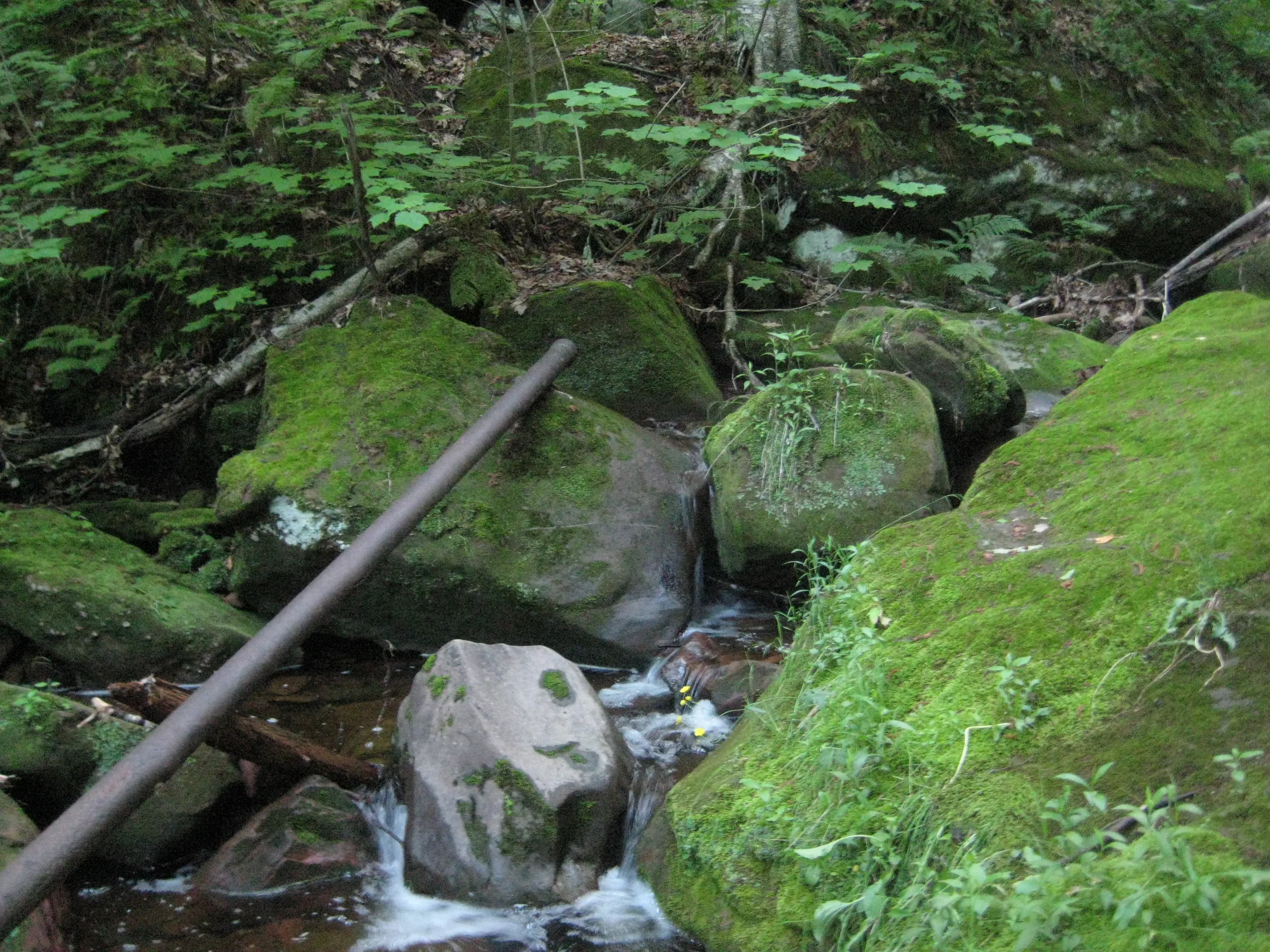
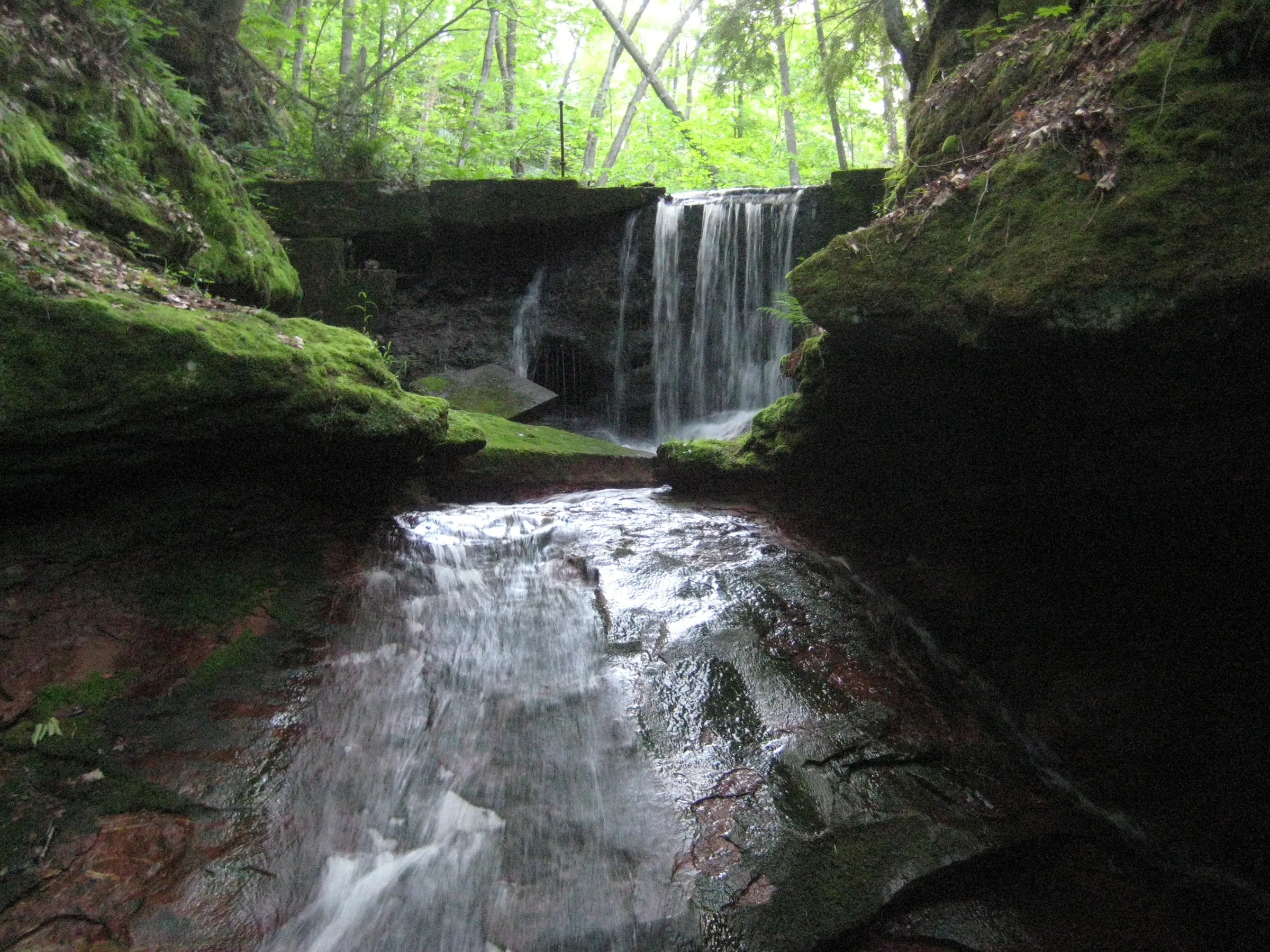
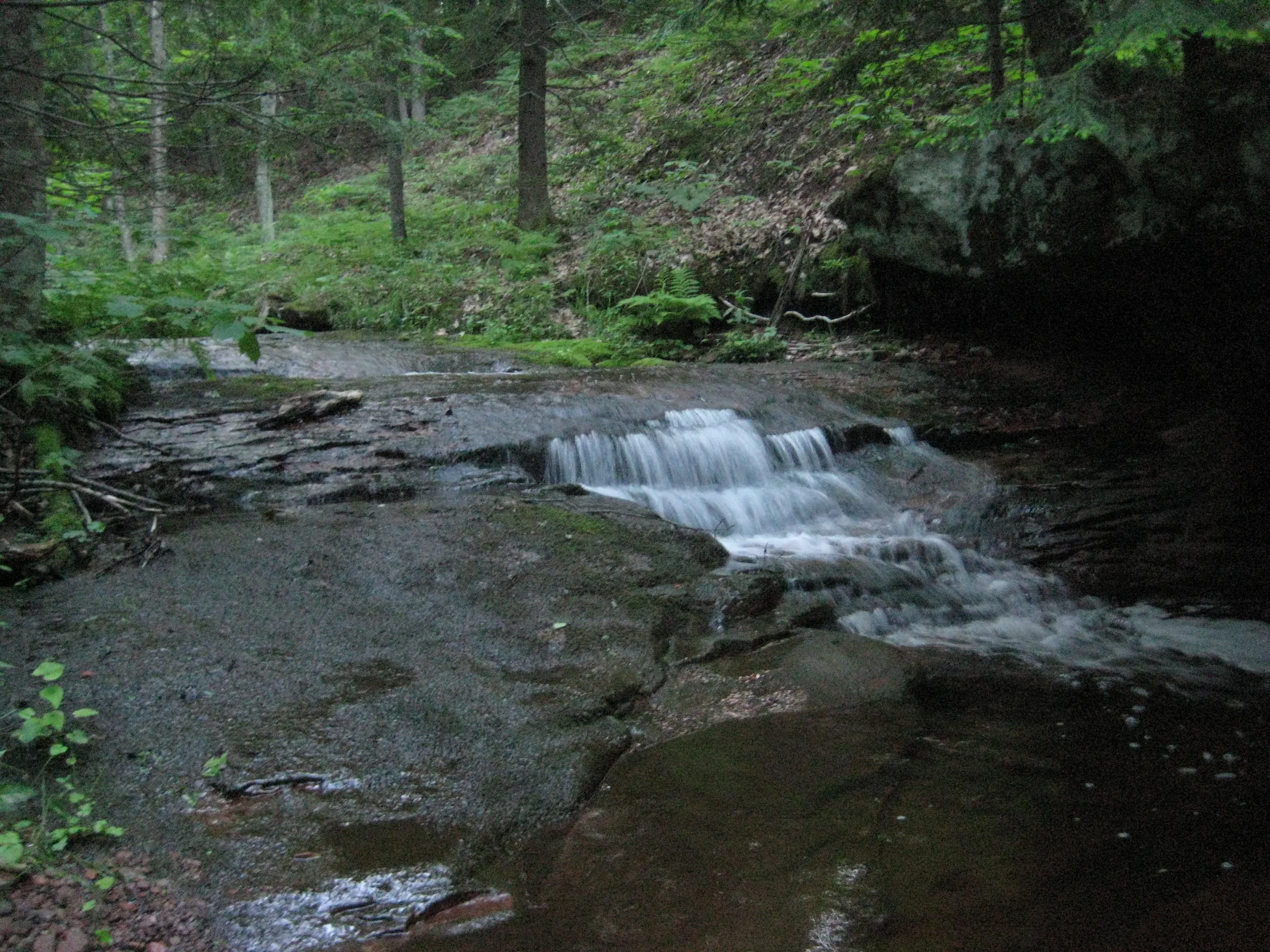
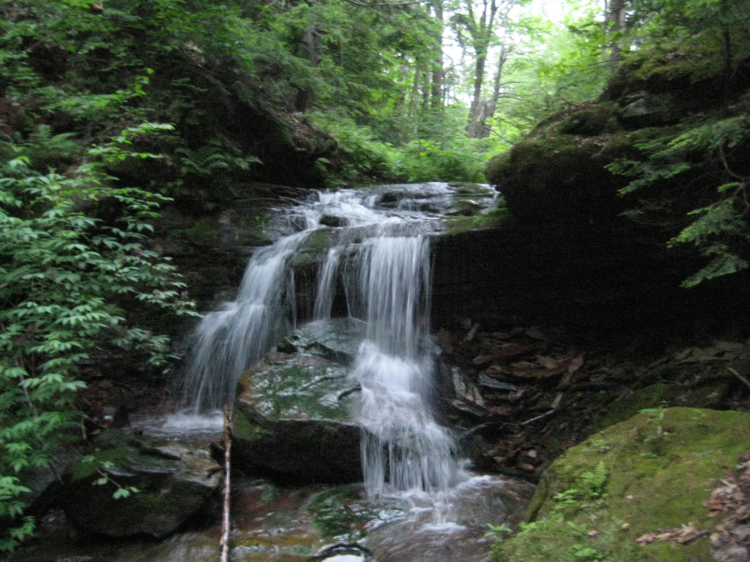
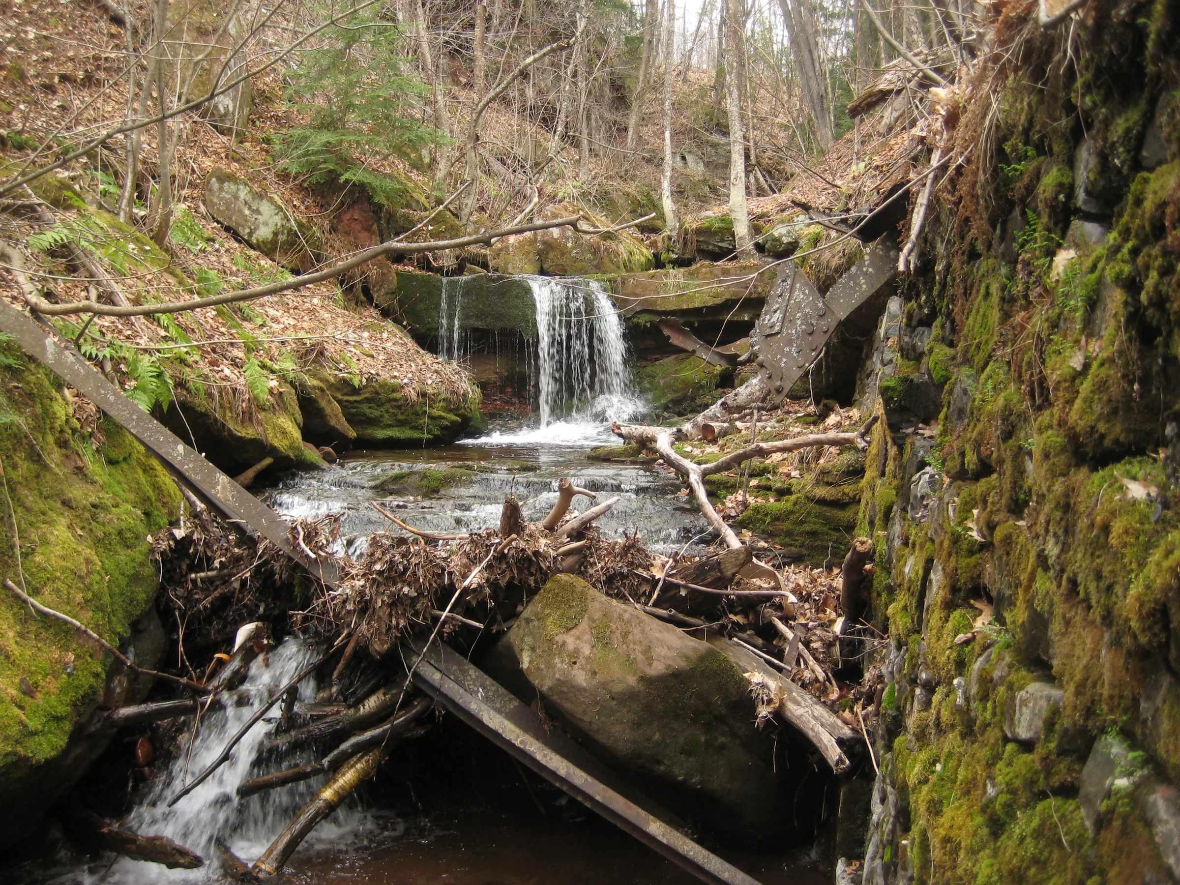
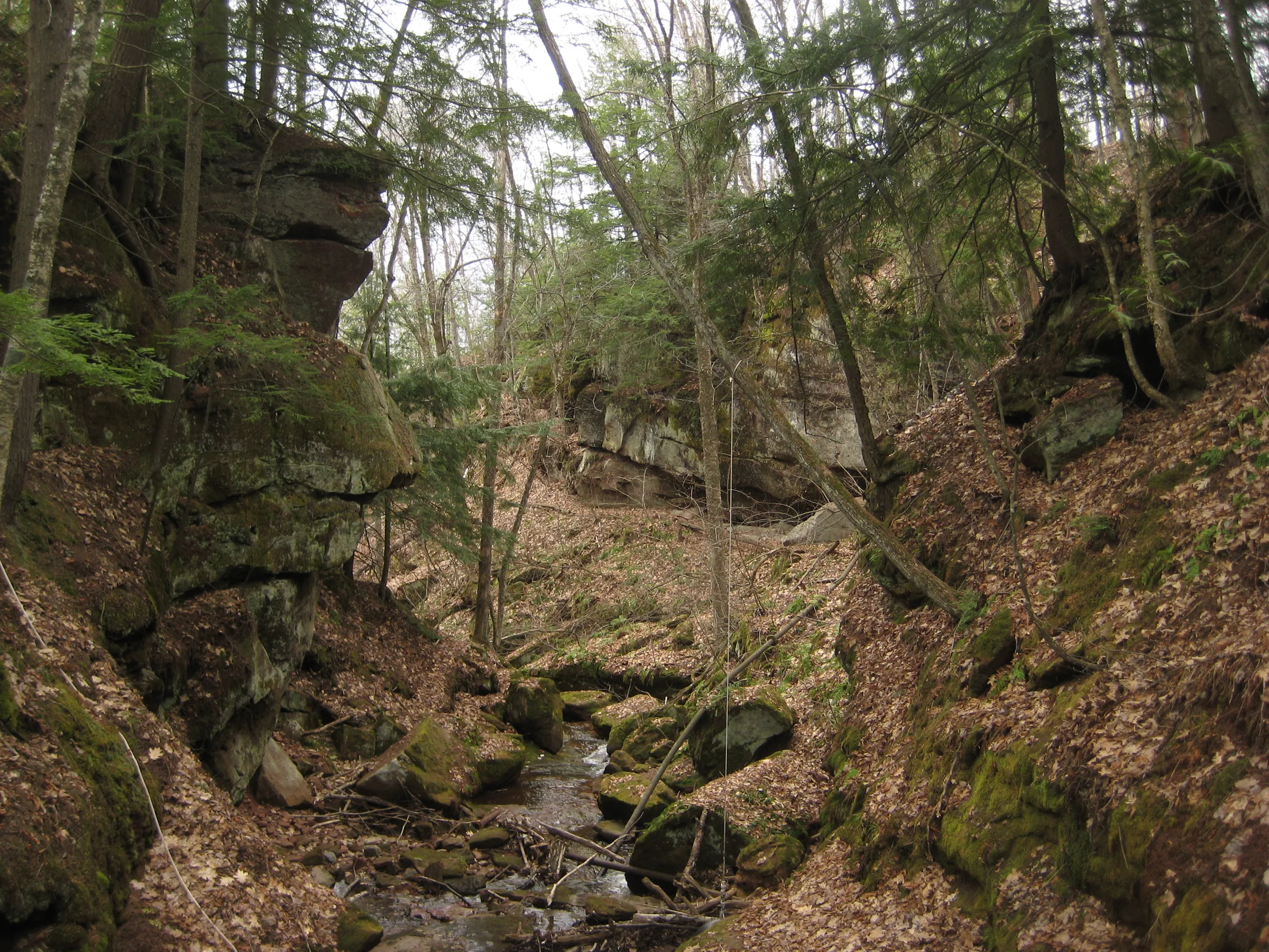
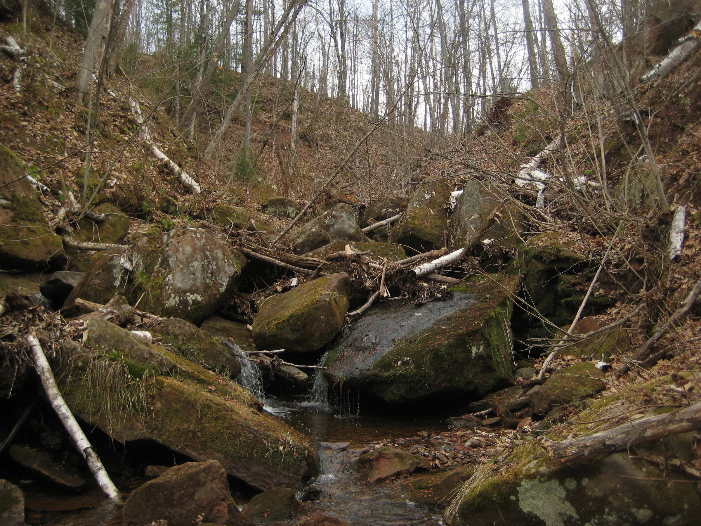
Quincy Falls is an interesting series of waterfalls along a sandstone creek that empties near the old Quincy Mill. While the creek is cluttered with brush, boulders, and remains of past mining ventures there are four drops that stick out. The lower waterfall is a short plunge over a sandstone ledge right before the creek flows under an old railroad grade. Next drop is an even pour over a short, old dam that slides through a chute and fans over a spherical sandstone feature. The third drop is a small cascade near a bend that splatters and plunges over a series of ledges. The upper waterfall is the tallest by far, a plunging drop over sandstone almost eight feet in height.
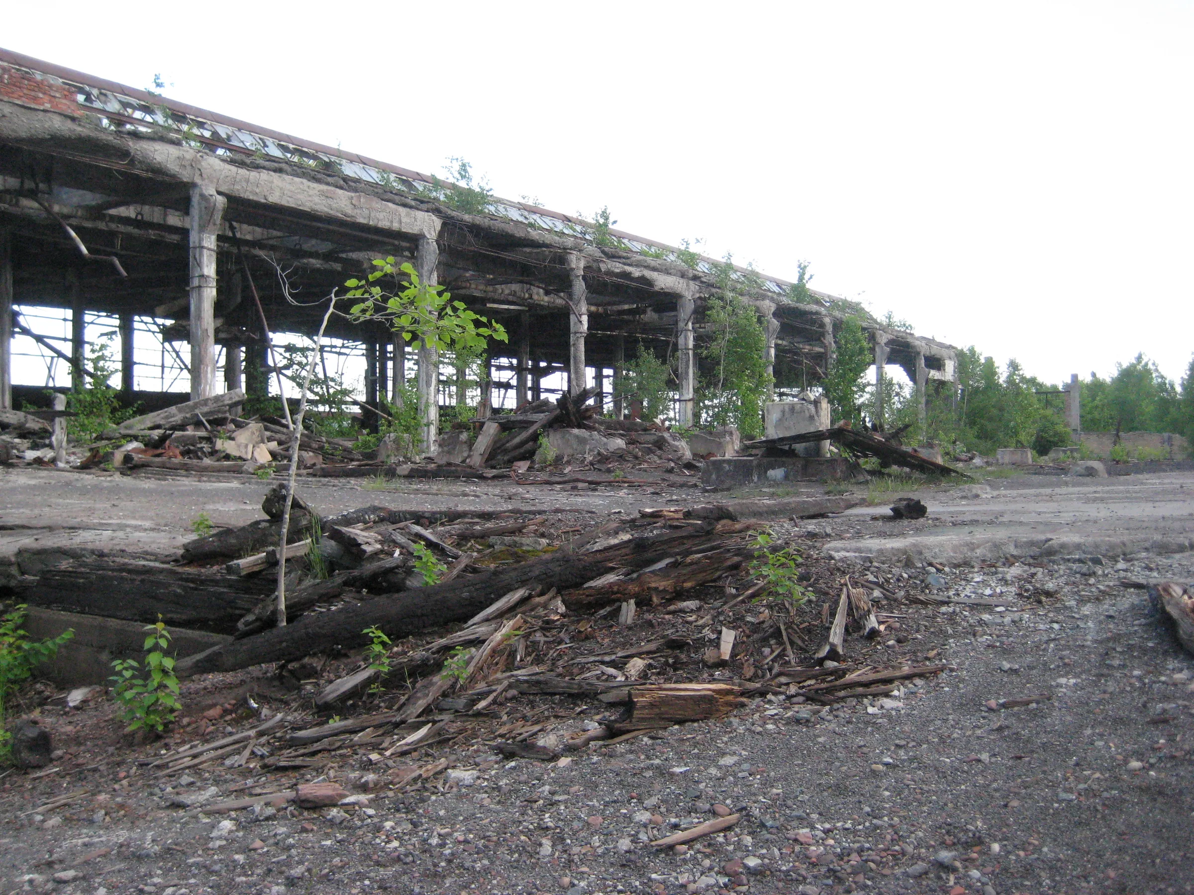
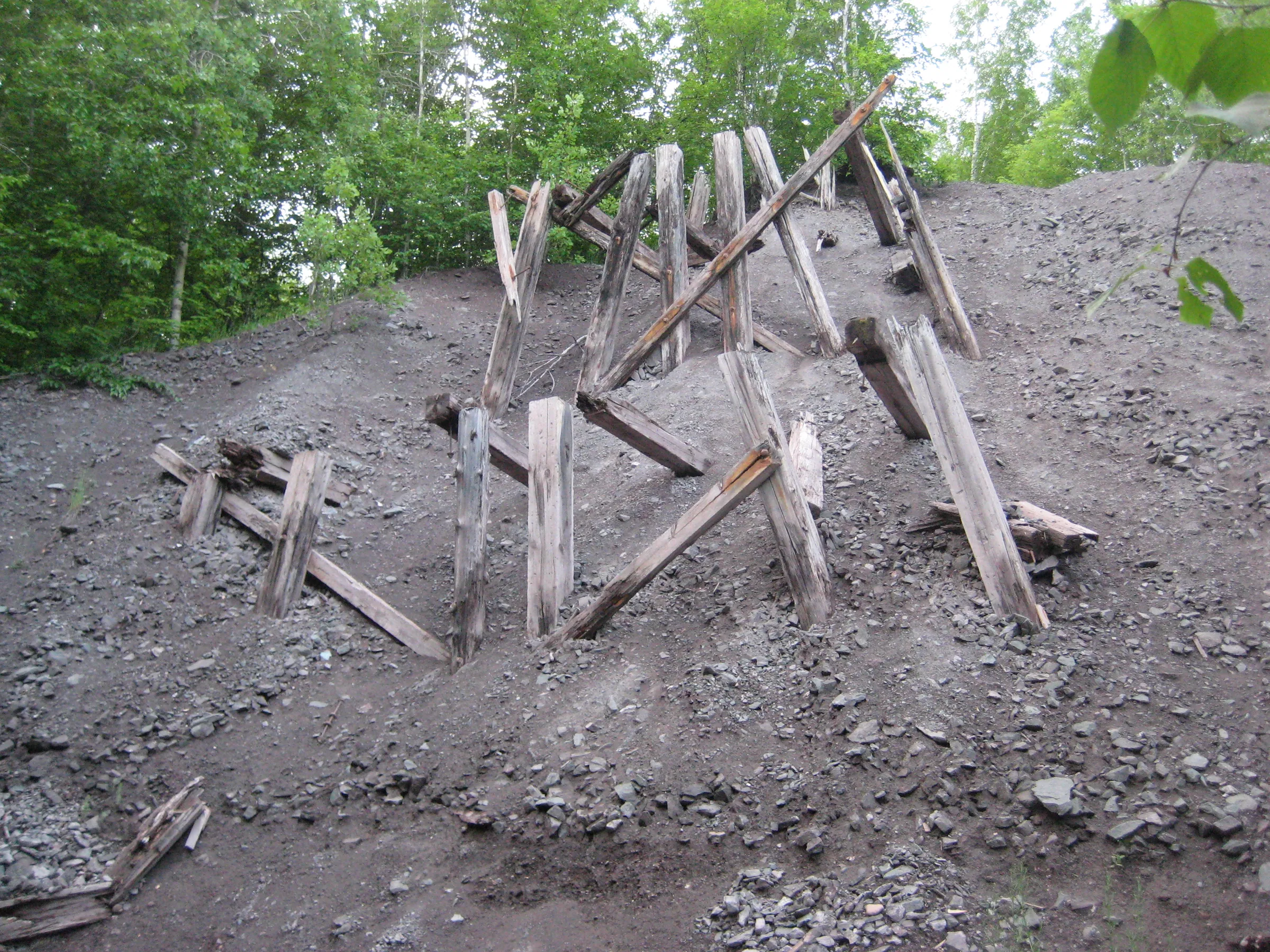
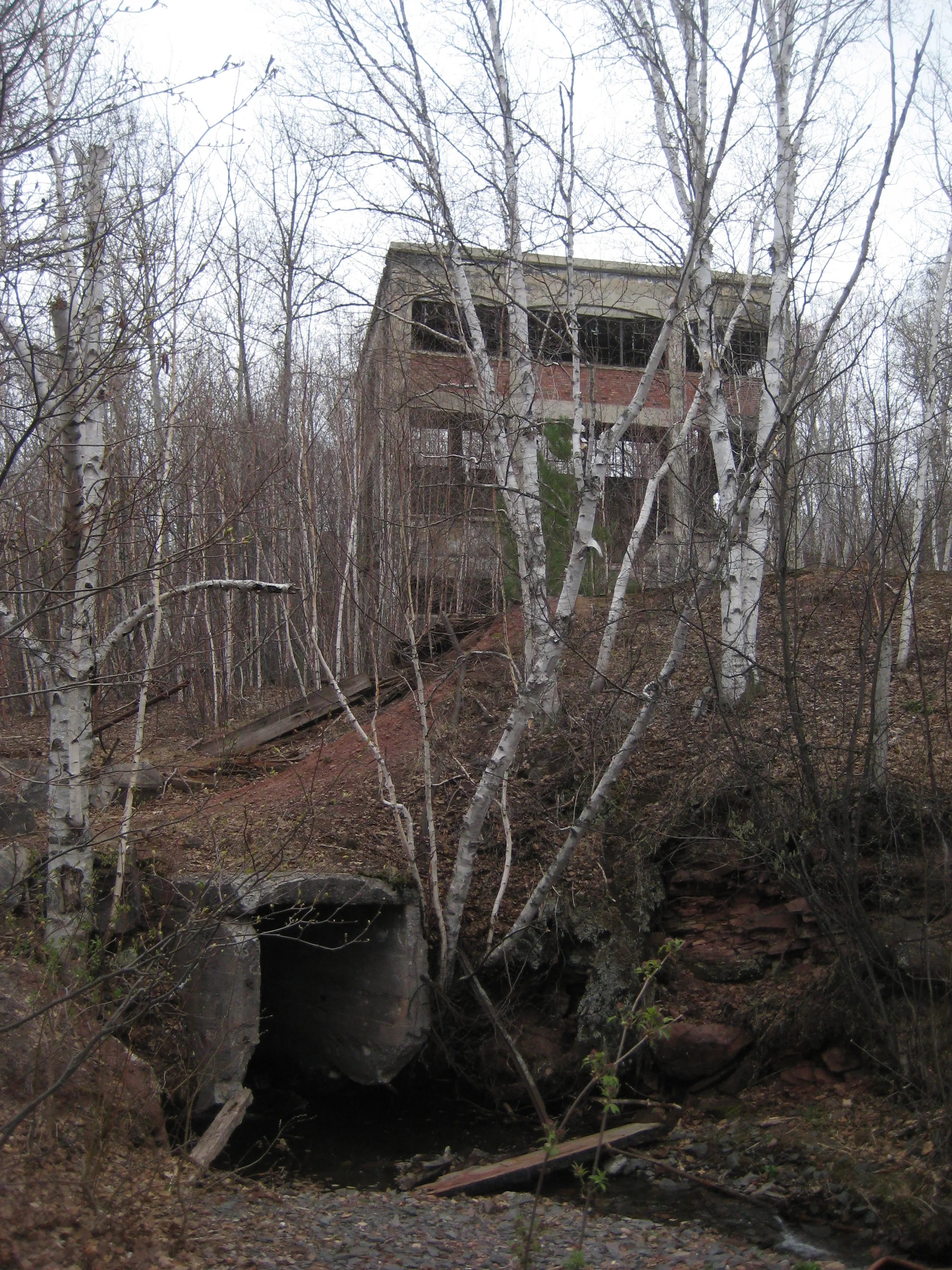
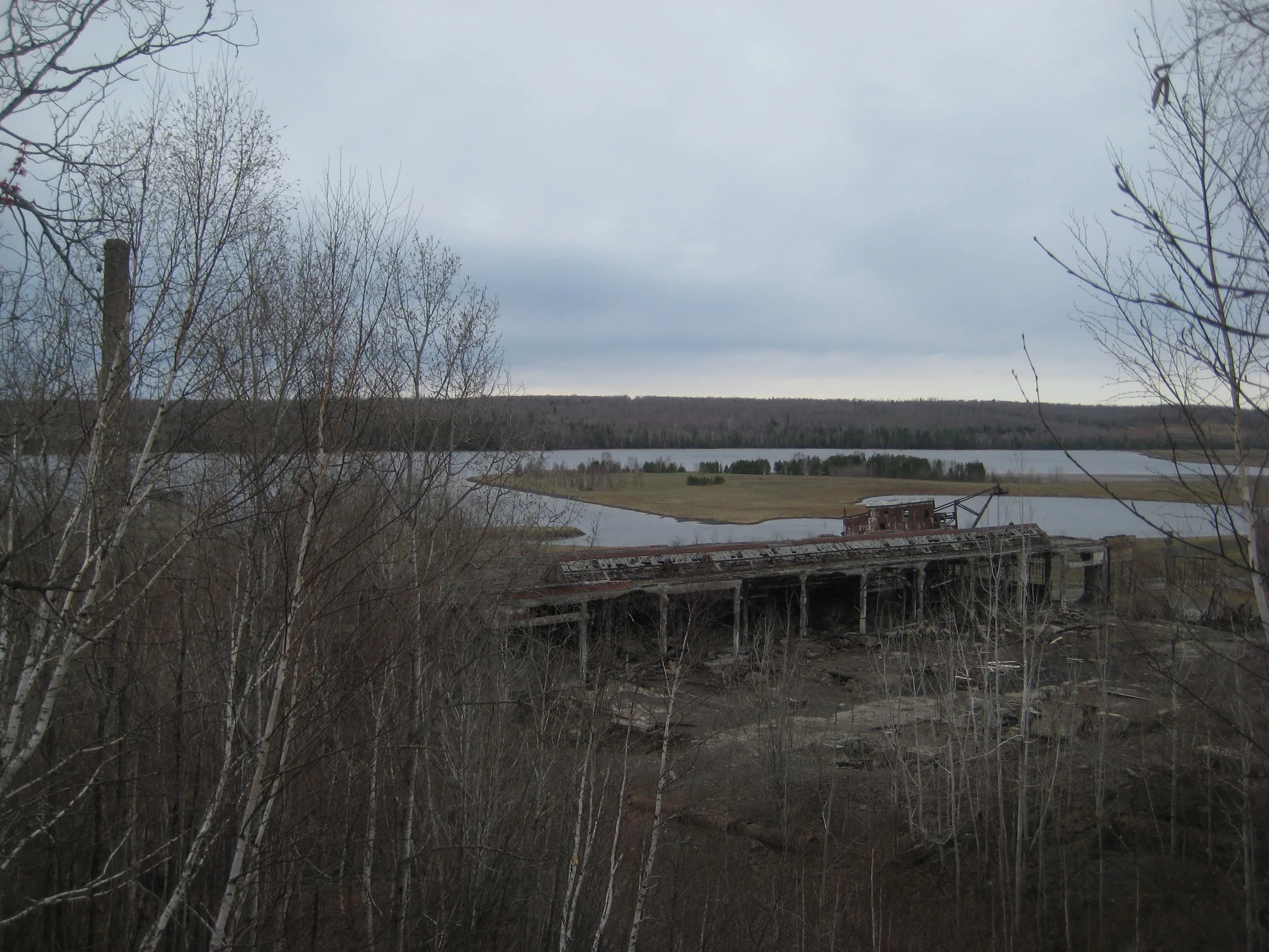
The ruins near the mouth of the creek is also worth exploring. A huge old mill, the roof mostly caved in, shows just how active this area once was. A few more buildings stretch out to the north, along with some piles of poor rock and old railroad foundations. Also, the famous Quincy Dredge sits out in Torch Lake, a mere stone’s throw from the creek.
Directions
Park on the north side of the large old mill, about 2.4 miles north of Dollar Bay. Follow the trail upstream, making your way around the crumbling piles of poor rock. The trail ends at the top of the railroad grade (now an ATV trail) but the waterfalls start below. Head down to the creek, making your way upstream to the falls. Some inconsistent footpaths are up along the north side of the creek, but they are hard to make out and do not go all the way to the upper waterfall.
Photographs
Visits
Seen in February, March, April, July and October.
- barely running
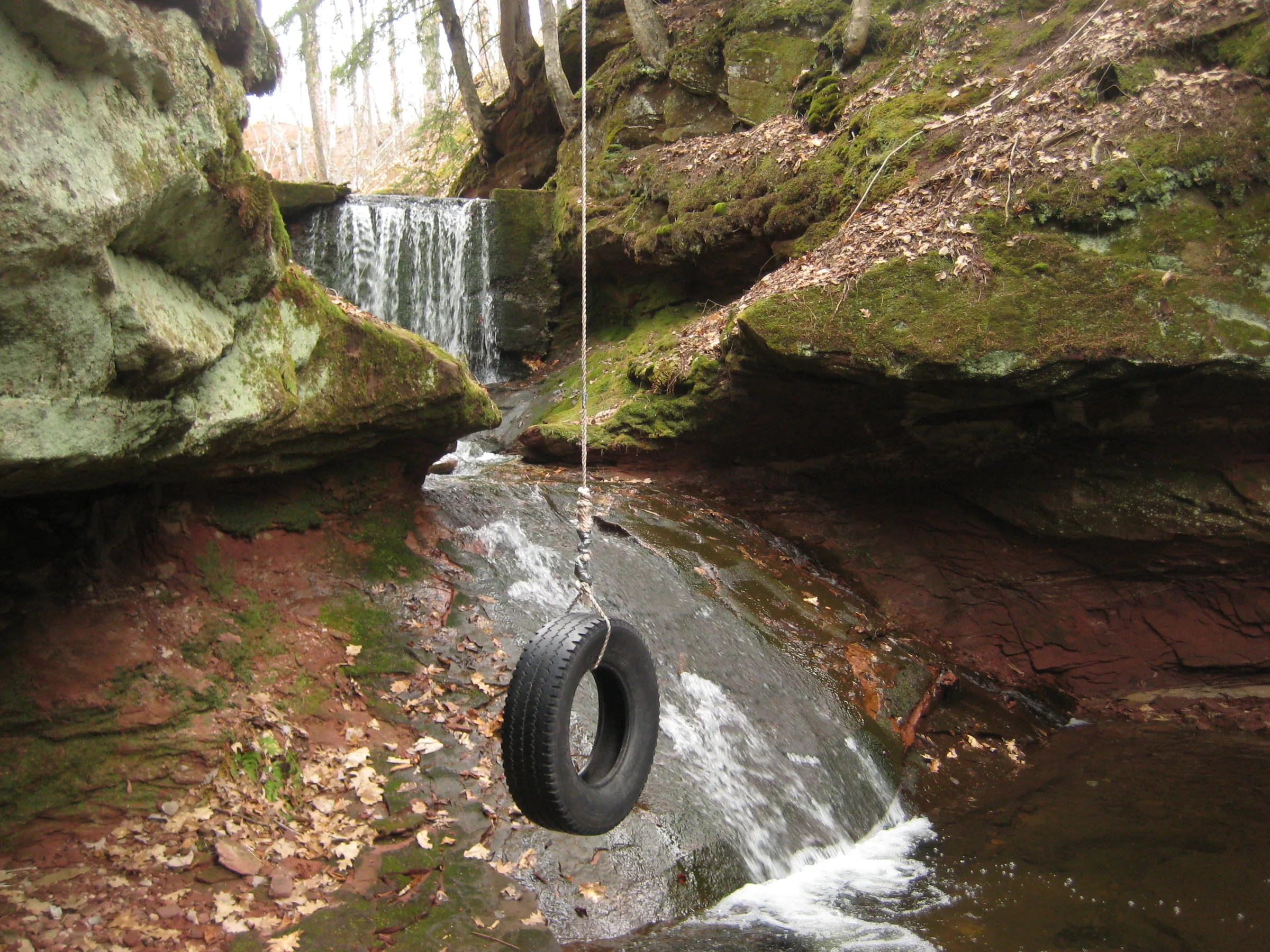
There was one problem, though: the creek was barely running. Enough water flowed over the dam to raise my spirits. This waterfall is always a pretty one, with the manmade dam creating an even drop before the creek slides over a mound of smooth stone, and on each side the gorge zooms in with rock faces to create mirrored overhangs. A tire swing, something that I didn't remember from previous visits, slightly tarnished the idyllic scene.
- much greater than summer levels
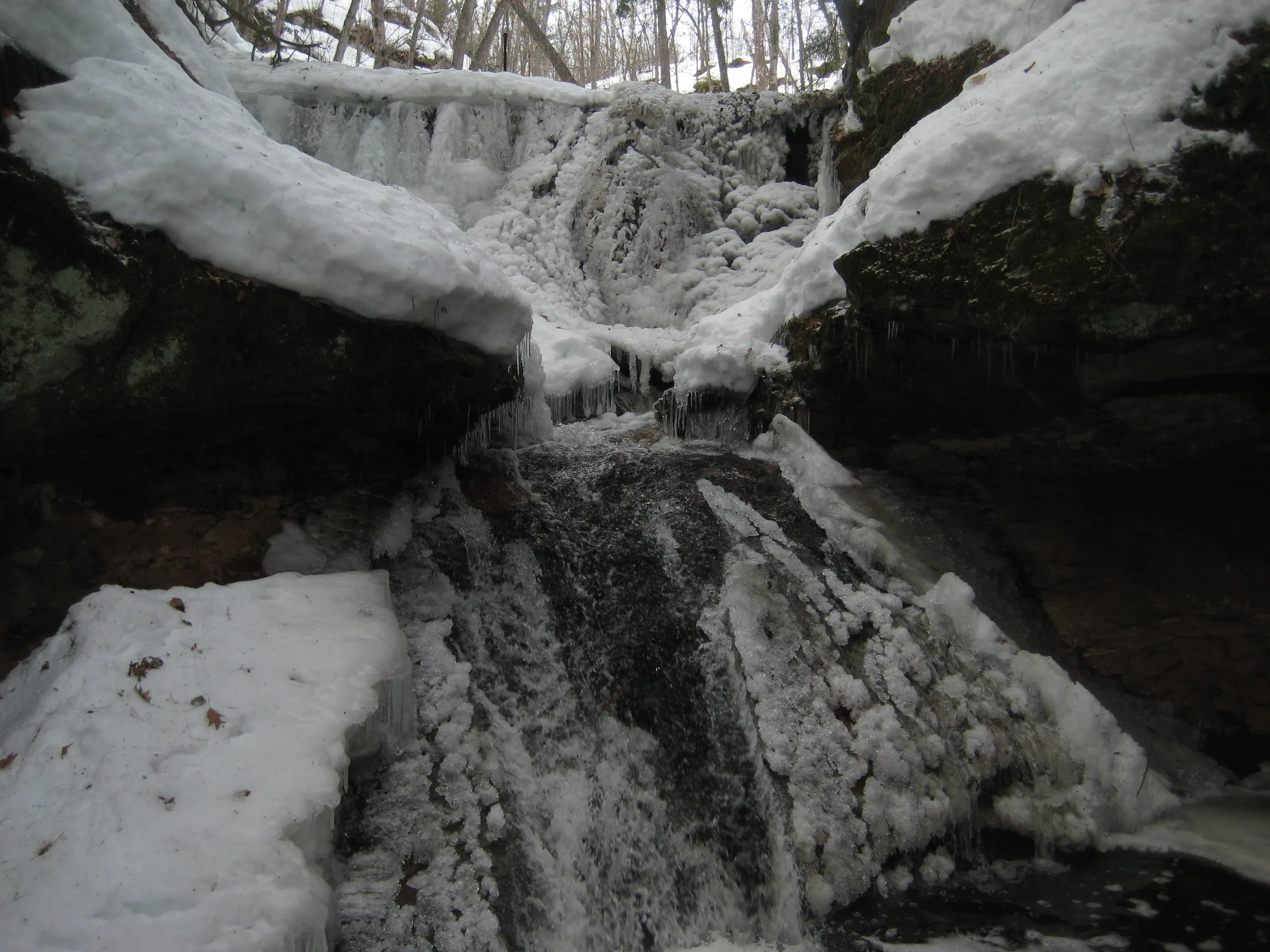
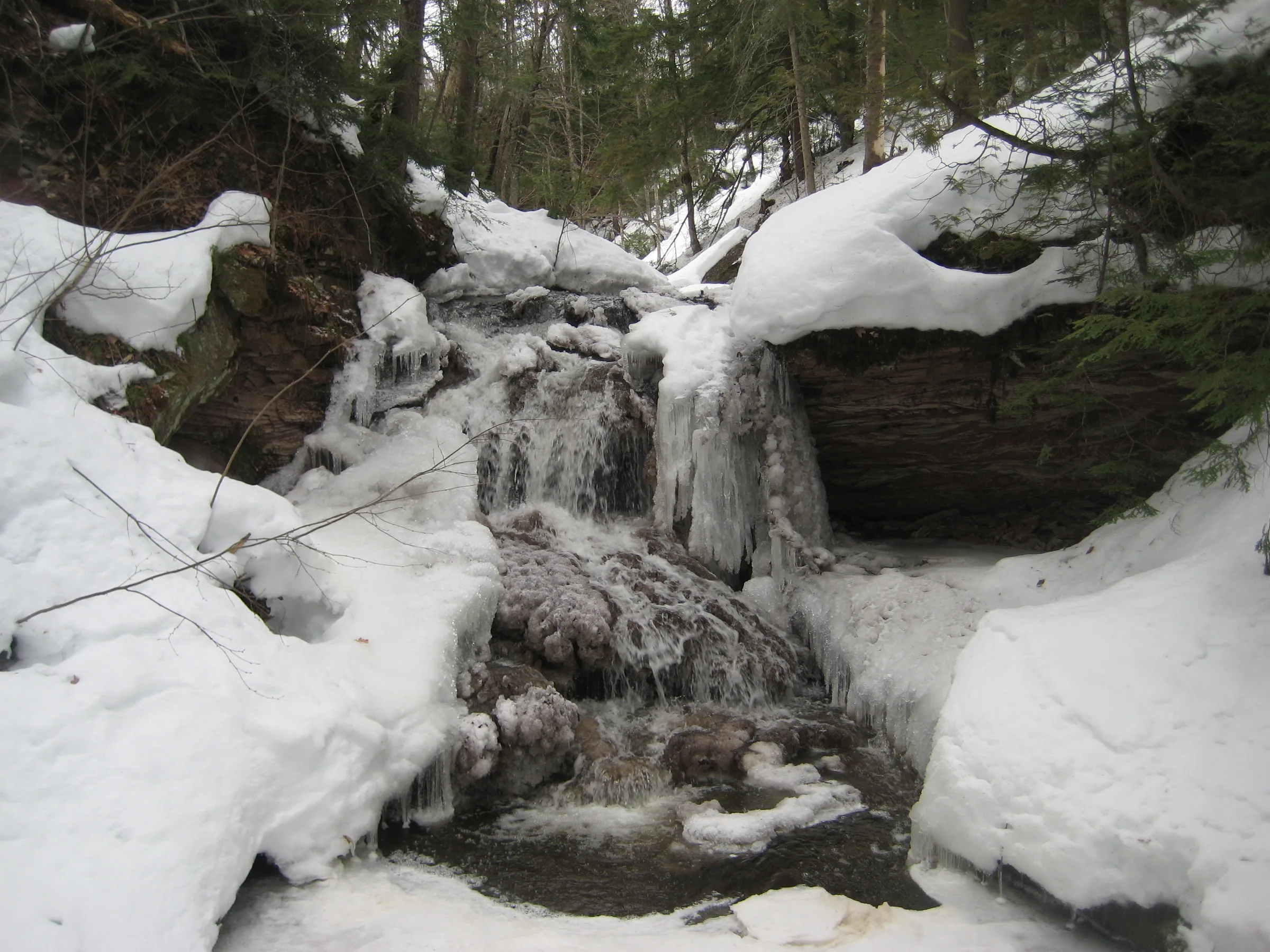
The first few drops, especially the one near the ancient dam, were simply beautiful. Portions of the waterfall that were still covered with ice were laced with intricate icicles and patterns, and these thick layers of ice around the falls made getting around the old stone dam rather difficult. We continued upstream, marveling at the exposed ice formations and water flow, which was much greater than summer levels.
- the entire gorge choked with fluffy snow
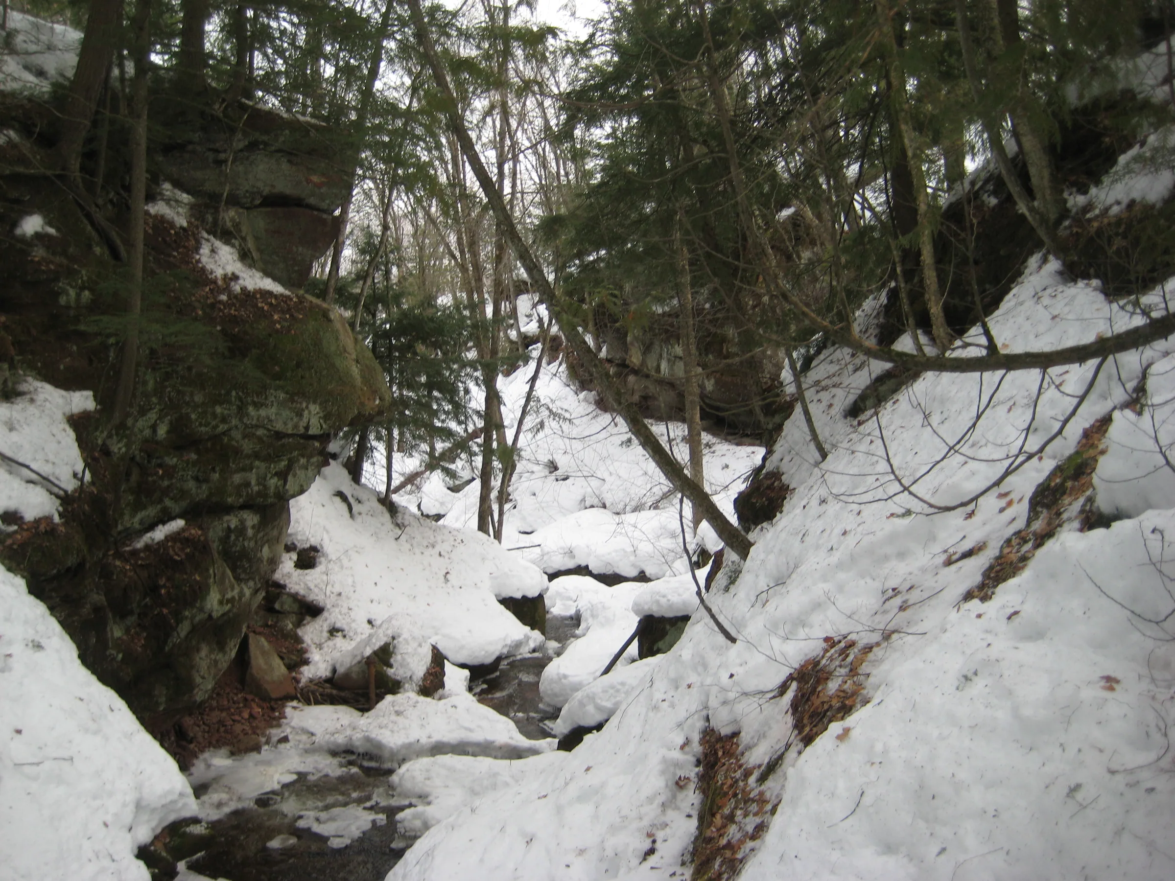
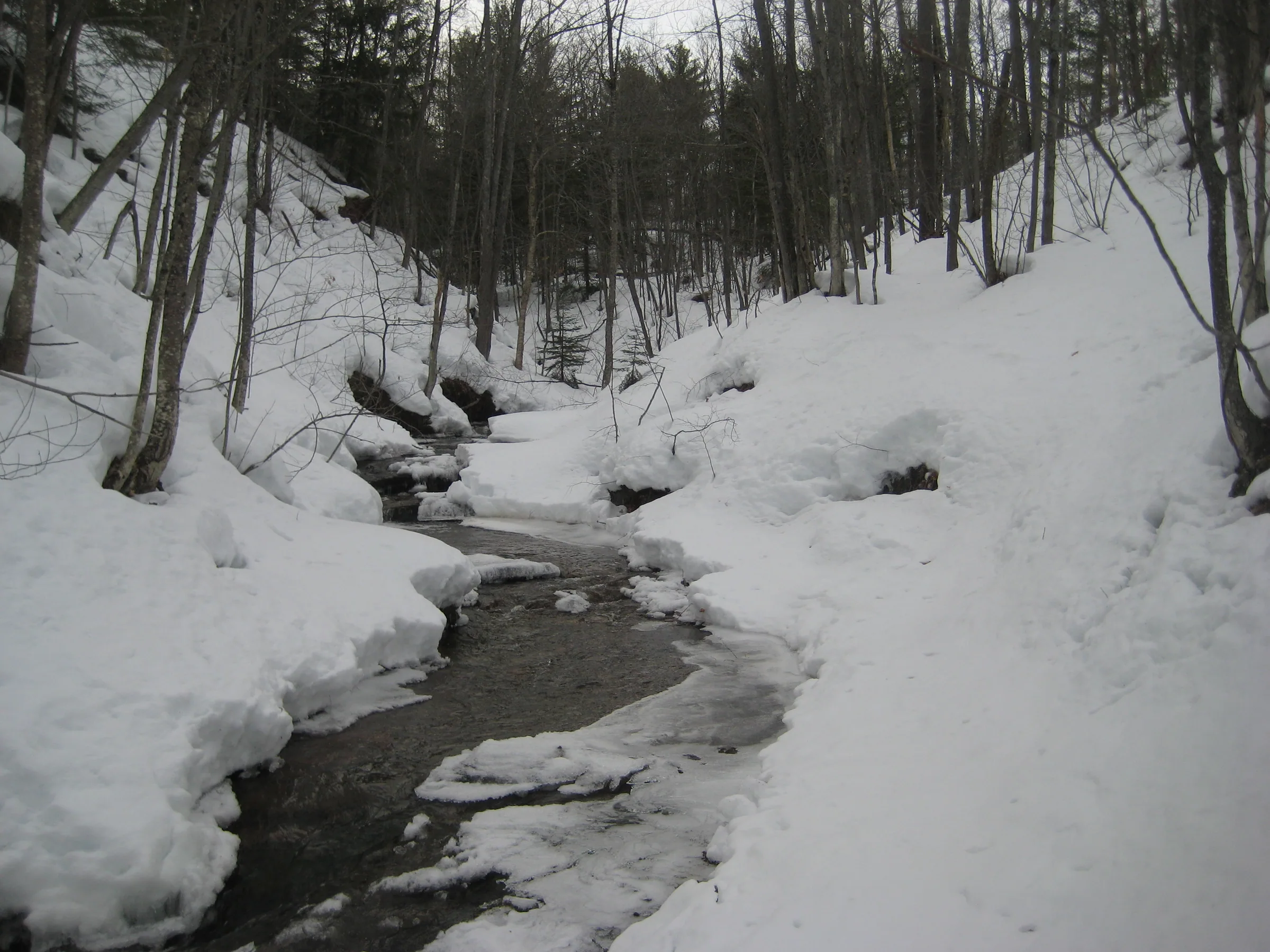
Quincy Creek's entire gorge was choked with fluffy snow. If I hadn't visited the creek last summer it'd be hard to imagine waterfalls or even a creek underneath all the fluff. A few open spots showed off dark ice and water below, though they were small and didn't show much. The small dam was easy to make out, with the rock wall exposed and metal rod sticking a few feet above the snow cover. Walking in the gorge was not an easy trek, the soft fluffy snow letting me sink waist-deep even with the snowshoes.
2 earlier visits
- the water level much lower
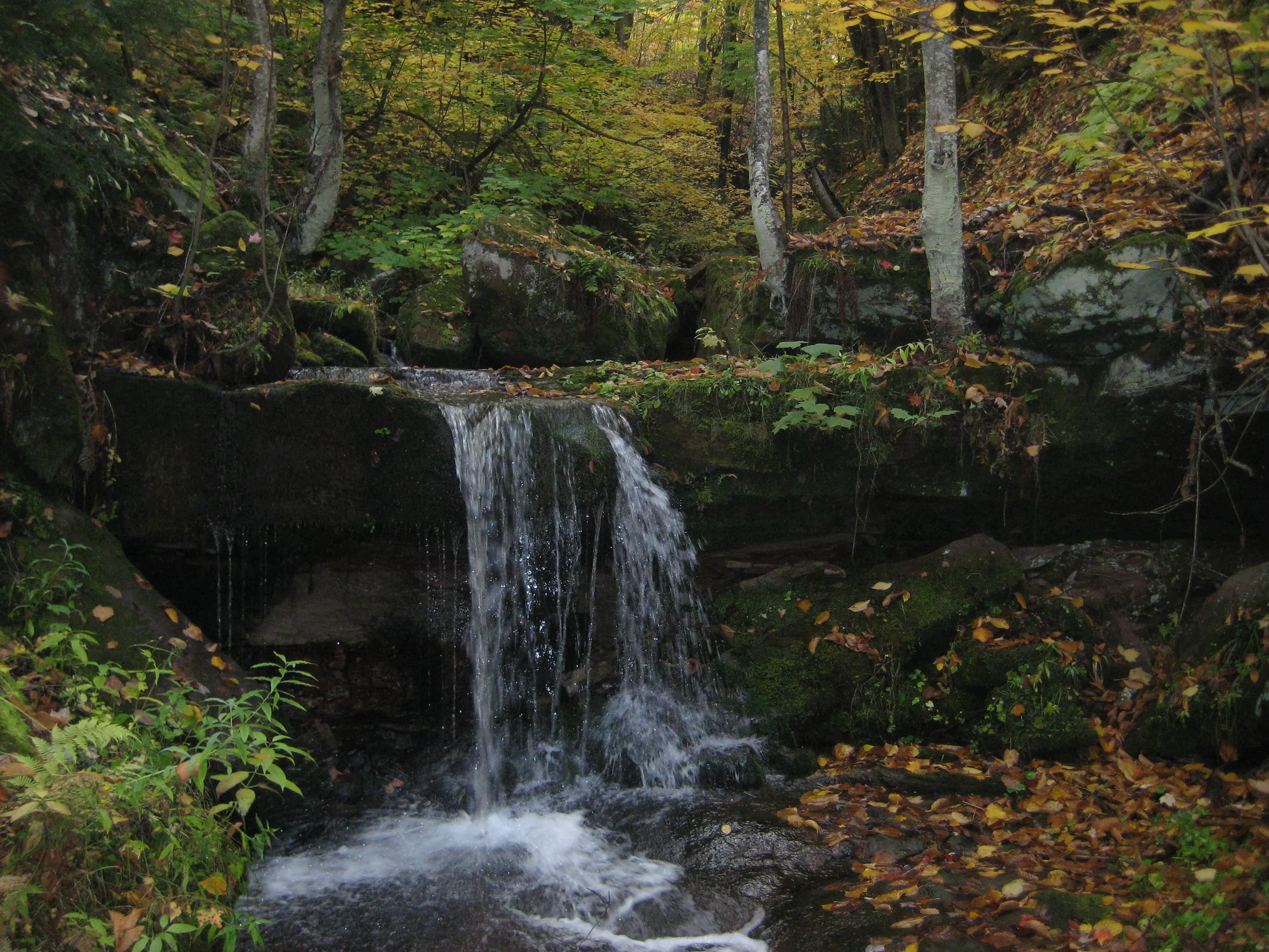
The first drop was right where I left it a few months ago, now slightly obscured by brightly colored leaves, though the water level was much lower. Instead of a steady flow over the sandstone ledge a slight flow trickled over the rocks, dripping off the moss. What the waterfalls lacked the colors made up for; the leaves that still clung to the trees were bright yellow and orange and the ones that had fallen lay on the gorge's floor painting everything in autumn hues.
I tumbled down the steep creek walls through the brush to a pretty little waterfall that poured over a sandstone ledge. It was difficult to get a good photo of it, as Quincy Creek enters a tunnel shortly after the drop. Walking upstream was not easy, and it was a tough hike, but it was a pretty one; not all of the falls and drops were tall, but there was a small dam that water poured over before fanning over the rock below that was very striking.


Comments
9 comments
This was definitely a fun trip. I think it would be even greater to try to see this in the Spring.
Totally! Though I think it would be incredibly wet as well, as we had to pretty much climb the dam waterfall on our hands and knees.
Trying comments again. I'm not sure I made the uppermost set of falls, although Kyle and I have tried a few times. Might it be easier to start north from Foresman road and meet the creek at the top?
It looks like it from the satellite photos - follow Foresman inland .5 miles, cut in at the dead end road, then follow the swooping old railroad grade-looking track to Quincy. Should drop you near the upper falls, and with luck, the remains of a trestle. I'm going to verify this in the spring for sure, as it sounds much easier.
Unfortunately, Hakala Rd (which I believe is the dead end road mentioned here) is private & gated not far from Foresman Rd. Perhaps the swooping track could be accessed from the NE though... (lots of connecting tracks, though some are likely private)
Ah, thanks Tyler! Maybe the best way is just to follow the creek upstream from the old mill after all.
Visited recently. Flood has done two things. The Creek is now almost debris free, easier to climb and photograph. Forsman road, however, was severely damaged. Access up there was questionable anyway due to private property. A two track on the north side of the river can be used, however. I used it to exit the area faster. The creek is pretty easy now though. I saw a woman and her cockapoo returning from upstream!
Thanks for the update, Mark! And a cockapoo? Wow, it must be an easier hike, I remember struggling back in '09 w/ two-legged friends, let alone a cockapoo!
If I could like this, I would.
Leave a comment