
Upper Montreal Falls
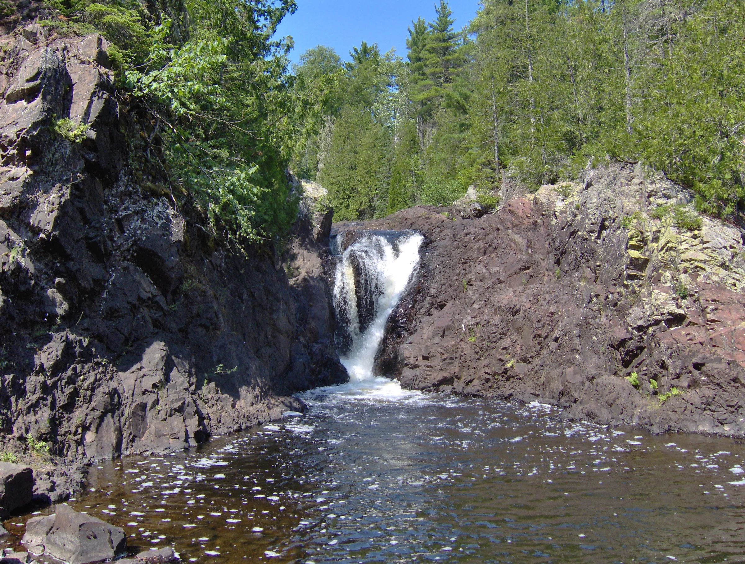
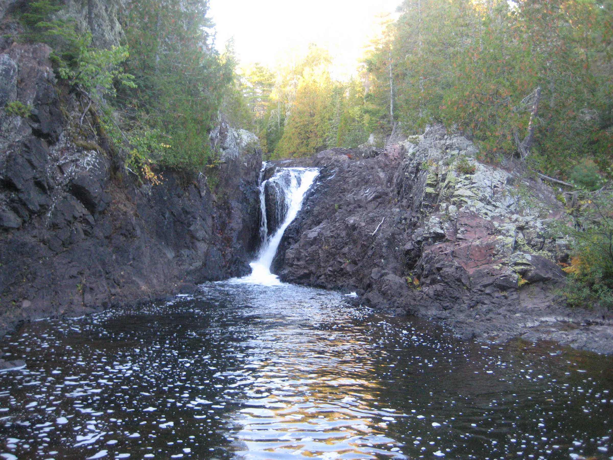
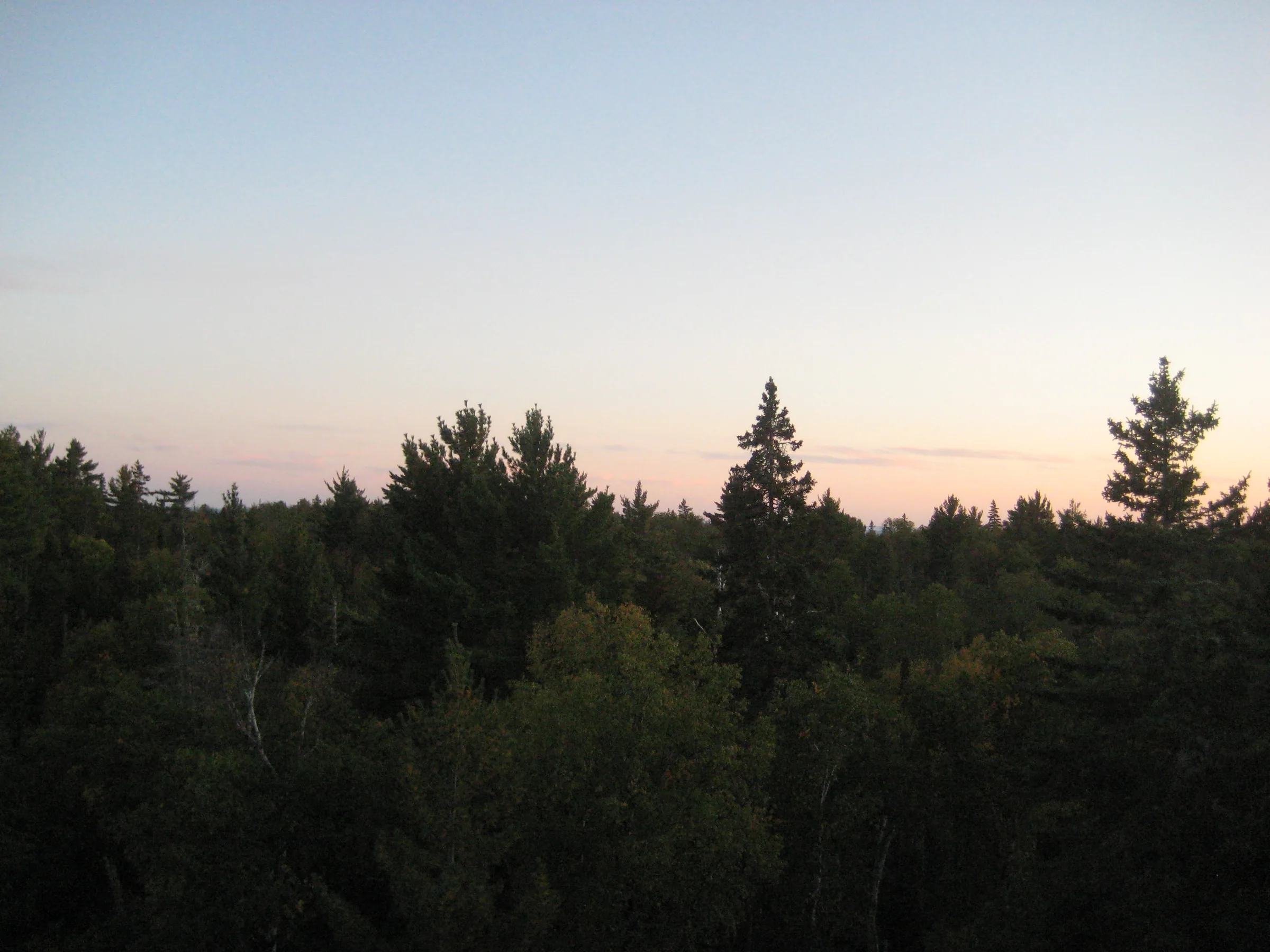
Unlike the lower drops of Montreal River, less than a mile downstream, Upper Montreal Falls is a tall, jagged chute over conglomerate and volcanic rocks that plunges dramatically down into a deep, dark pool of water. It’s much more remote than the lower drops and features a tall outcropping on the west bank with partial views south to Lake Superior and thick woods surrounding the river. A smaller yet similar drop is further upstream.
Directions
Turn right onto Lac la Belle Road off of US-41, just over 20 miles north of Calumet. Follow Lac la Belle Road for 4.3 miles, bearing left at the fork, and then turn left on Smiths-Fisheries road about 3 miles after the fork. This road is not marked but is the last two-track before the paved road bends left with Bete Gris beach. Drive down Smiths-Fisheries road, keeping on the main track and bypassing the parking area for Bare Bluff. The road ends at a berm after 4 miles near some fenced-off cabins. Since 2021 this road has been gated at a varying number of points, which can add as much as five miles each way to the walk; the Montreal Falls directions have the details.
Follow the trail past the berm along the lakeshore. For awhile the trail is the remains of a rocky two-track, than it turns into a footpath winding through a cedar forest for about a mile before running into Montreal Falls. Head upstream here, staying on the west bank, to see the upper falls. The trail continues to the first drop but dies out before the smaller, uppermost drop.
Photographs
Visits
Seen in July and September.
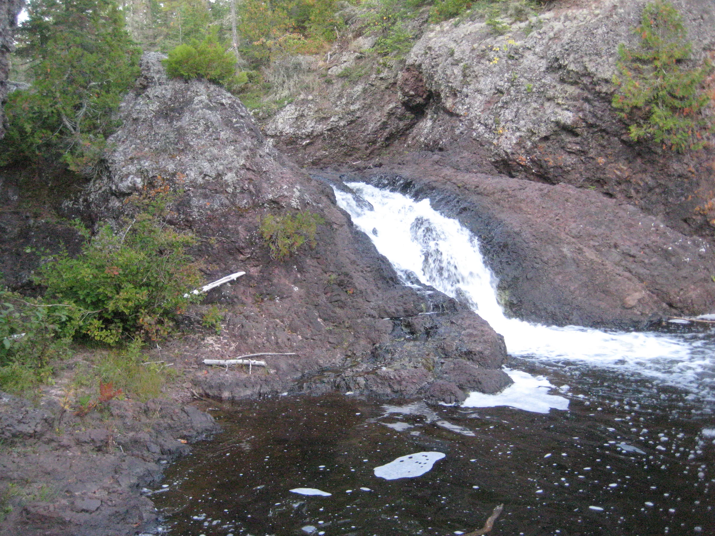
We were all impressed by the waterfall, a sharp plunging chute much more dramatic than the rolling cascades of the lower drop. Getting around these falls were a bit difficult, with a sudden outcropping shooting up on the west bank, so we just climbed to the top of the outcropping. It was well after sunset when we finally reached the upper half of Upper Montreal Falls, a tiny plunging chute, and creeping up the side of it my foot slipped and my shin came down hard on a jagged spur of rock.
The hike up the river was easy, with one confusing spot at the first main bend, and after maybe ten minutes we were at the upper falls. Montreal River is shoved in the middle of a tight chute and pours directly down into a deep pool, with a spur of rock shooting up on the western bank. The scene was perfect and inviting. After a few photos the camera was full; on the way out I learned from other hikers that there was another drop beyond the one we had seen.


Leave a comment