
Mulligan Falls
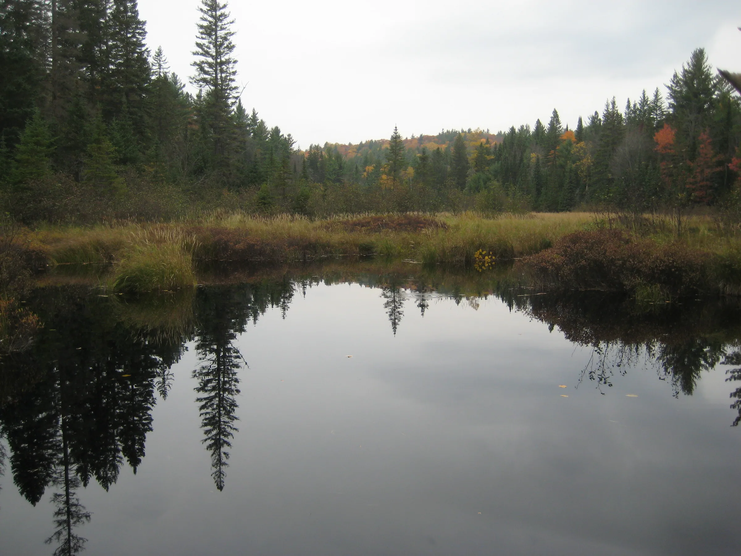
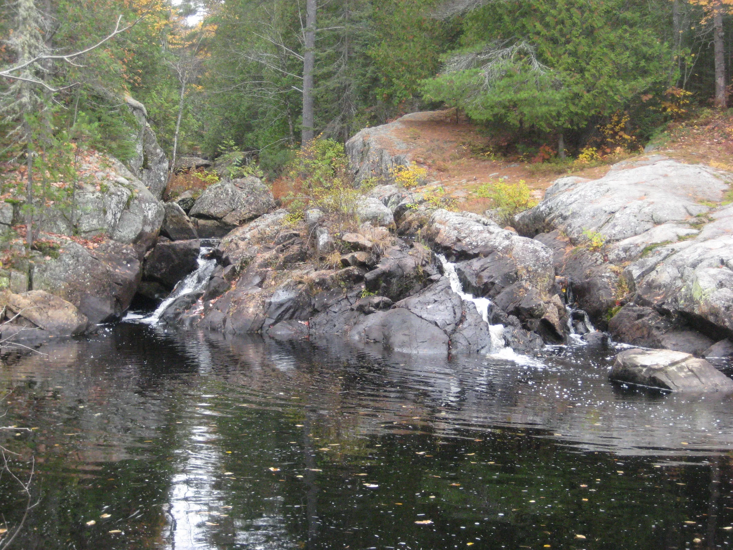
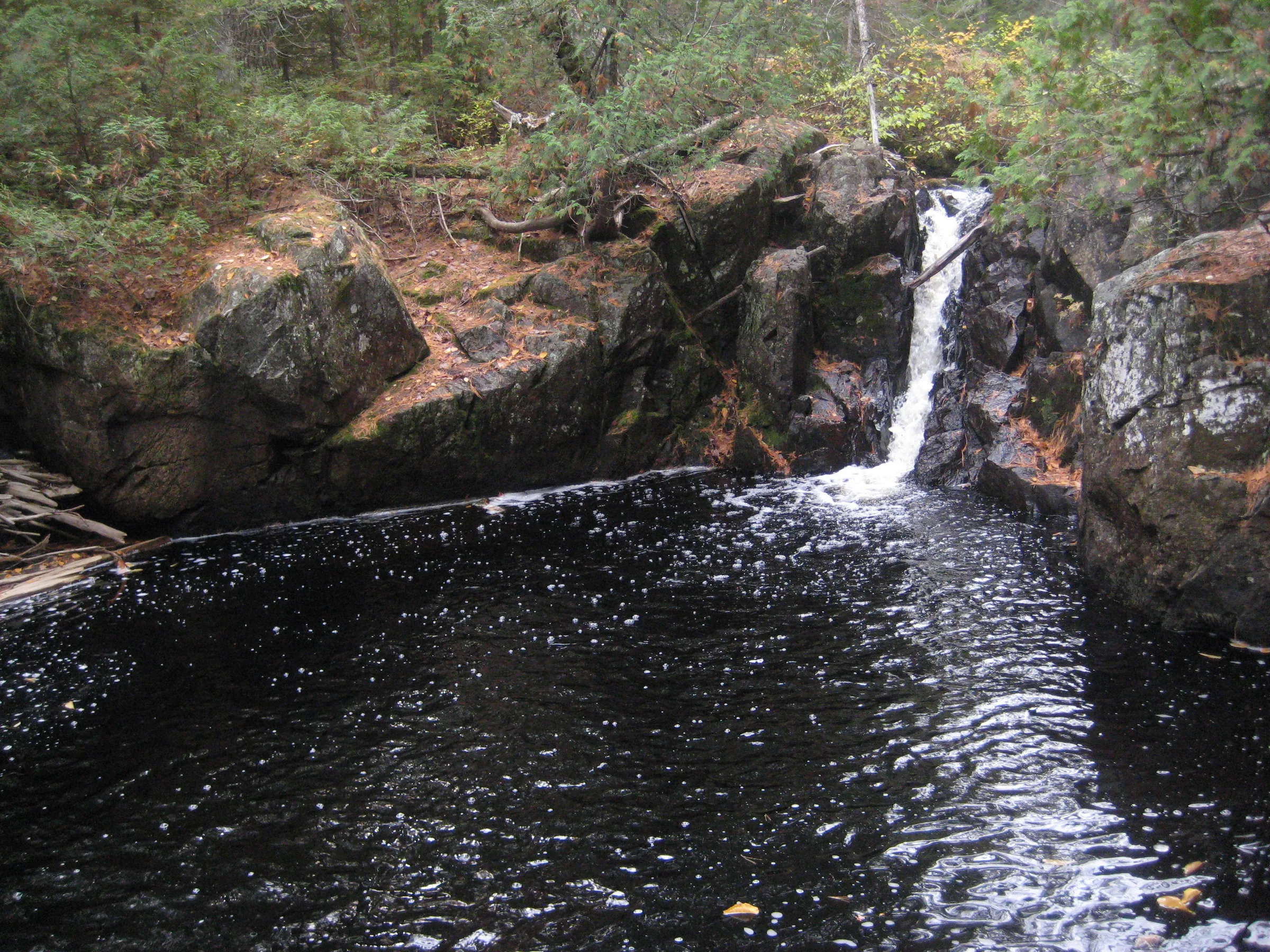
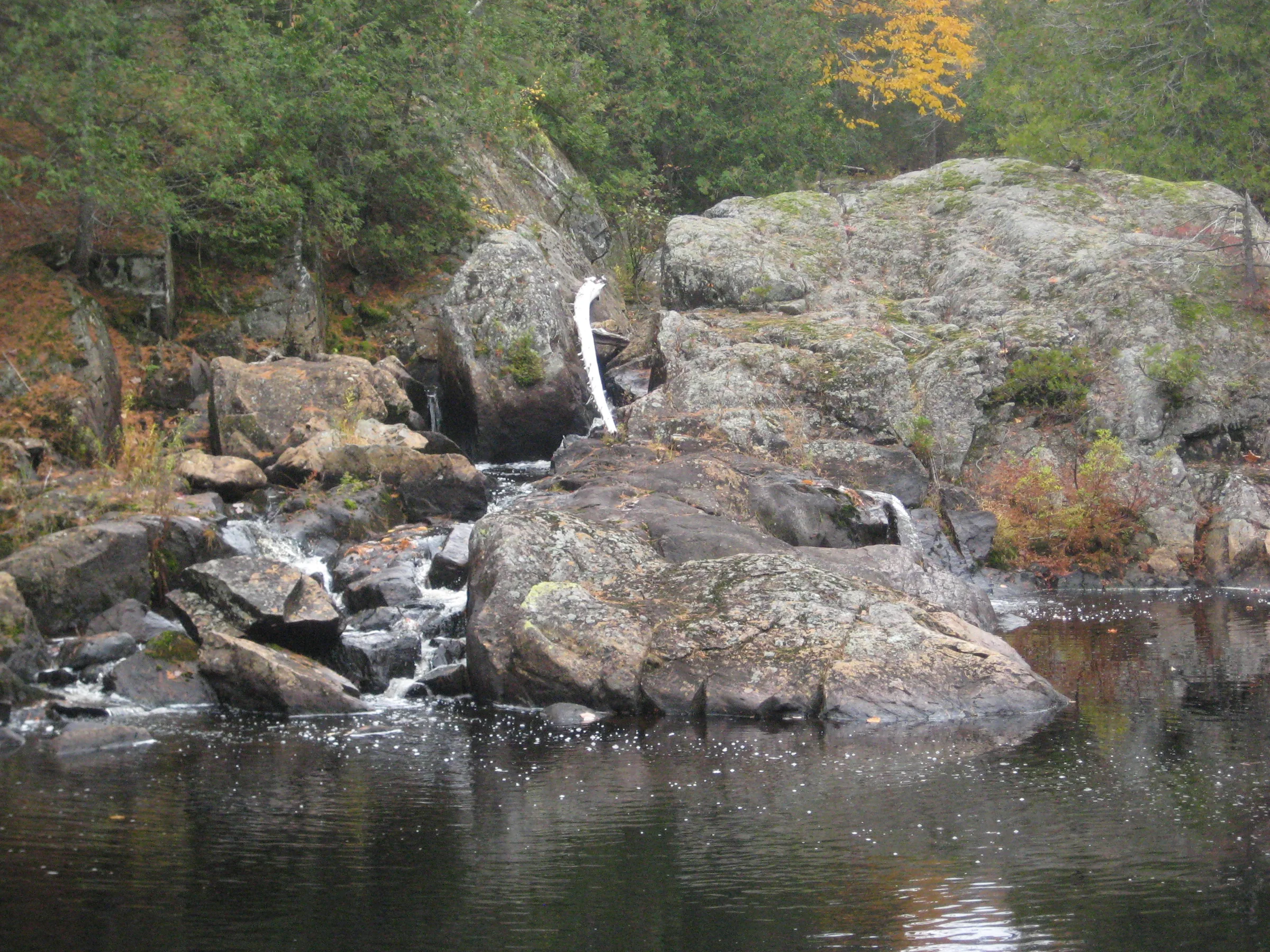
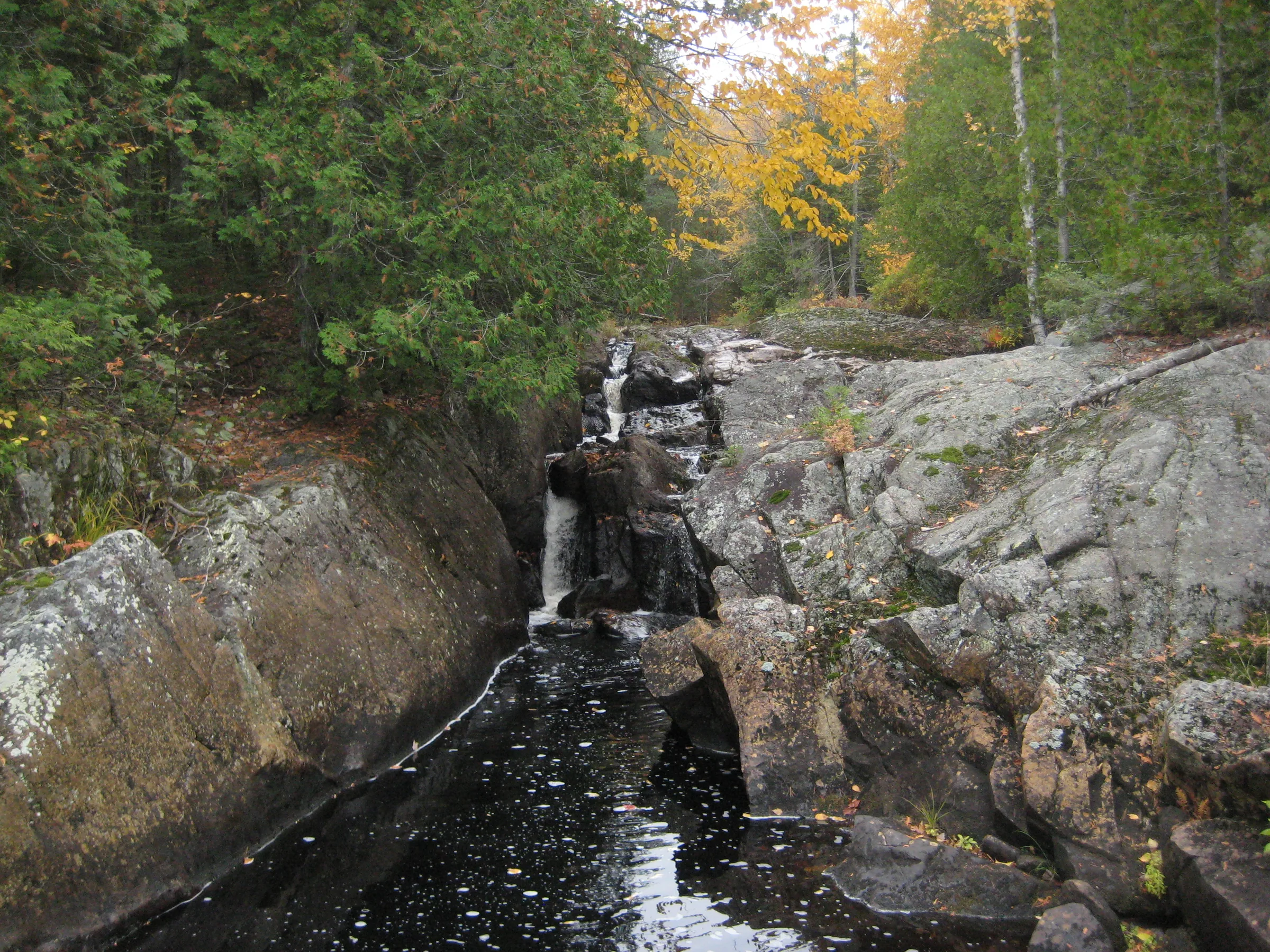
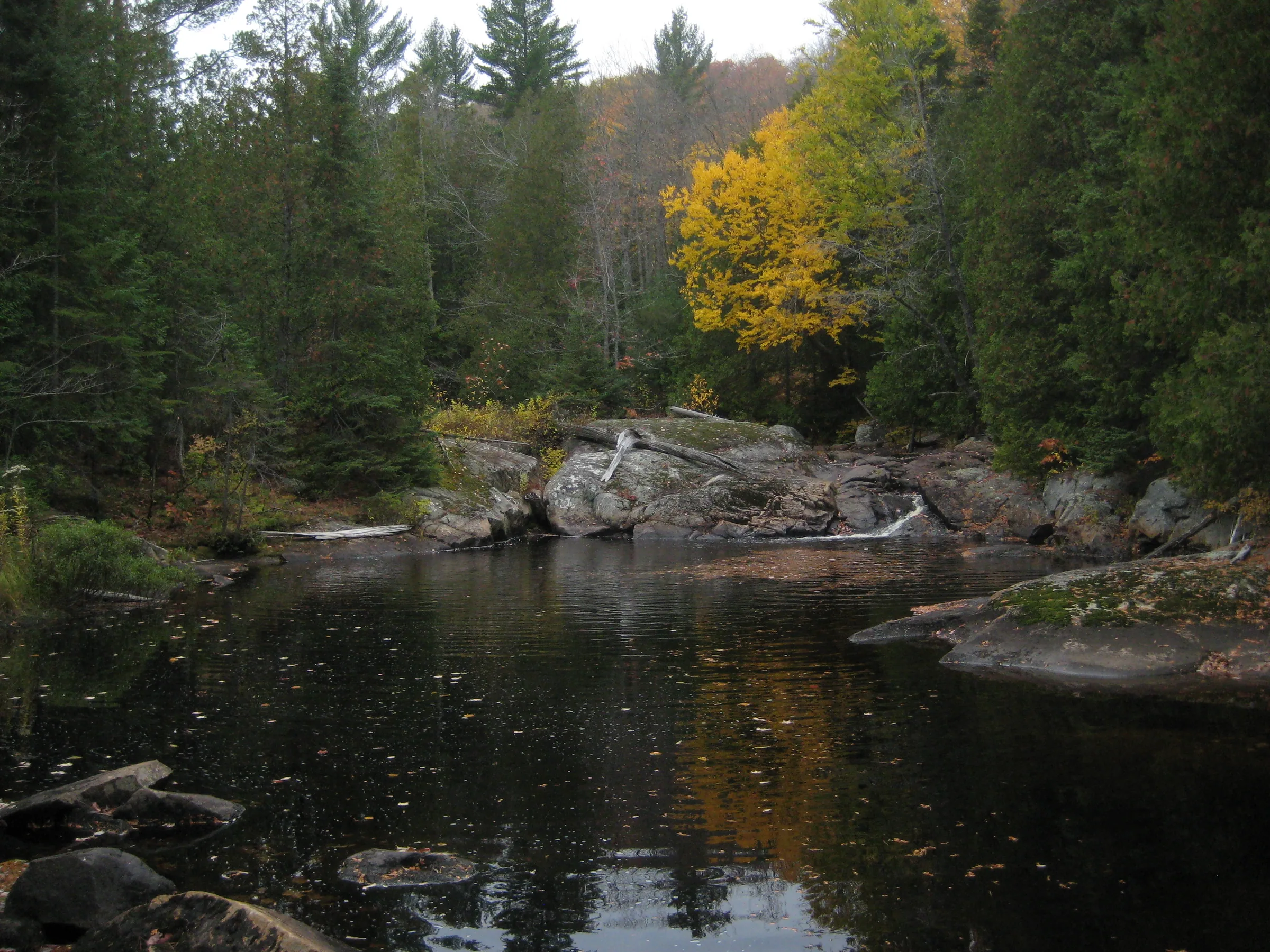
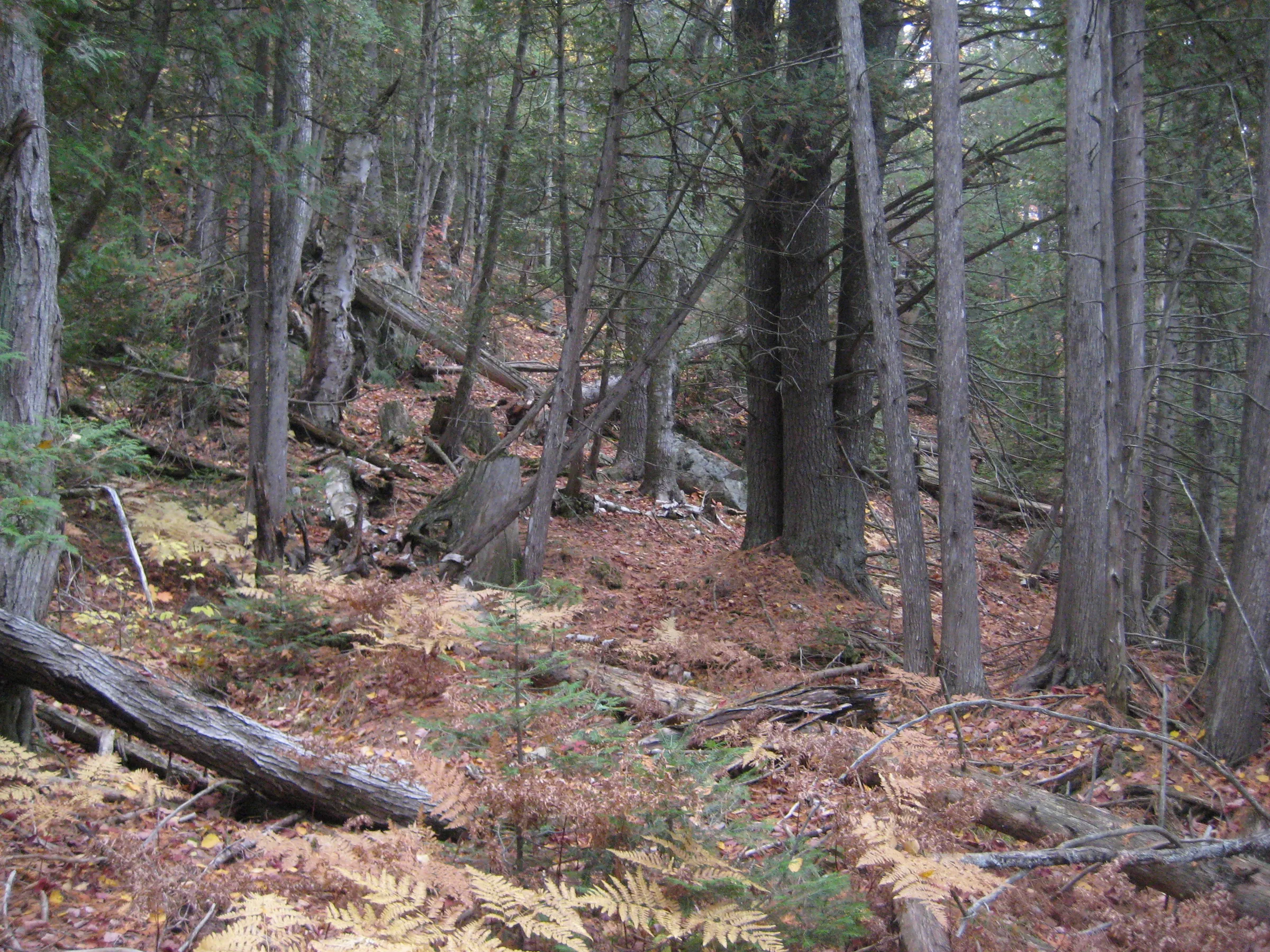
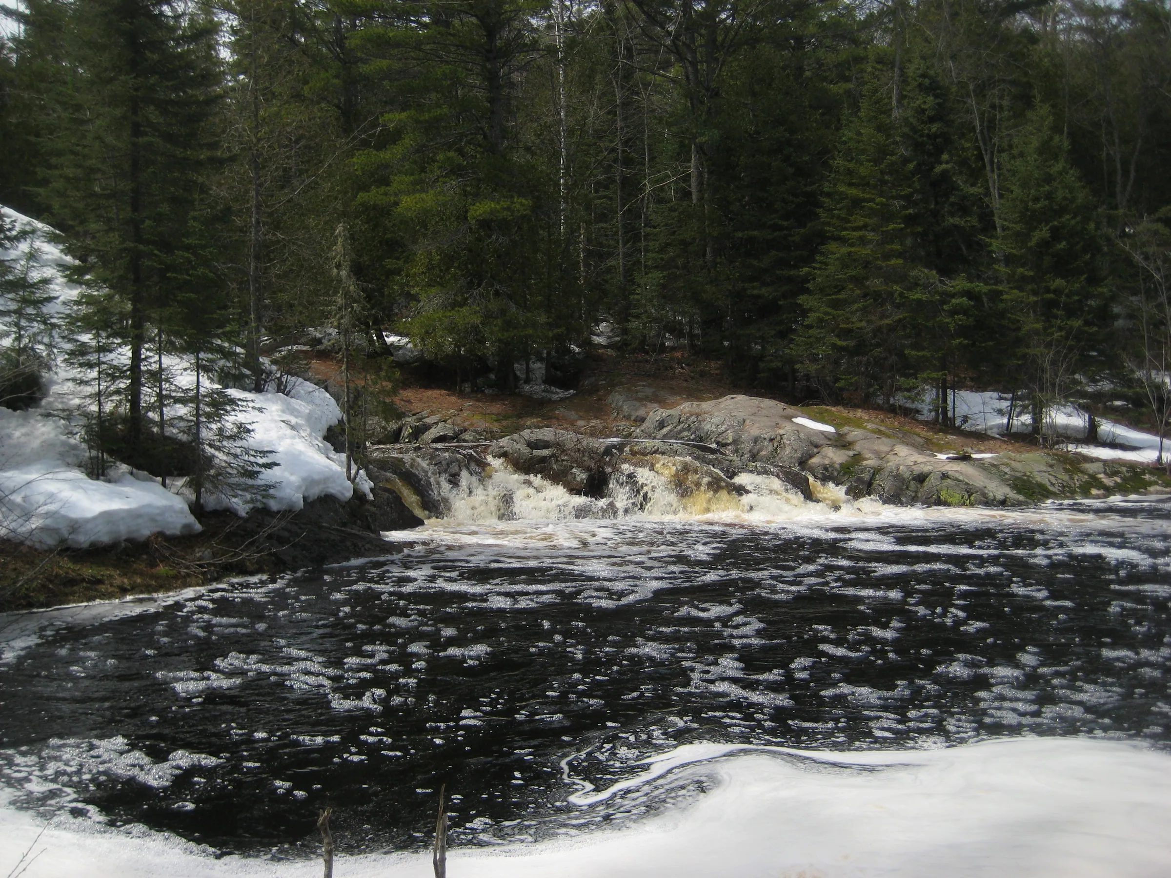
Mulligan Creek flows down from some highland swamps to the north end of Mulligan Plains over a long chain of small drops nestled in a dramatic, overgrown canyon. At least three sets sit here, each one containing multiple chutes and plunges and ending in a deep pool, surrounded by hard rock outcroppings. Tall cedars and pines surround the falls and create an incredibly scenic area.
Directions
Mulligan Plains is a remote yet not terribly difficult area to reach. From Ishpeming head north on County Road 573, turning off of US-41 near the ski museum, and taking the paved road through the town (bearing left at the fork near the cemetery), around the winding Deer Lake, and keeping on the left fork at the multiple forks that lead up to the south shore of Dead River Storage Basin. 15 miles from US-41 there will be a bridge over the Dead River and a two-track leading left - take this off the main road.
Follow this winding road over Mulligan Creek for 1.1 miles before turning right at a wide sandy track that sneaks up, hidden by the thick pines. This track heads along the west side of Mulligan Plains. Keep on it for about 3 miles until there is a small parking pull of on the left side big enough for four vehicles or so. The road kinda continues, fording the Mulligan through a deep, sandy area that will probably swallow most vehicles. Park on the pull off.
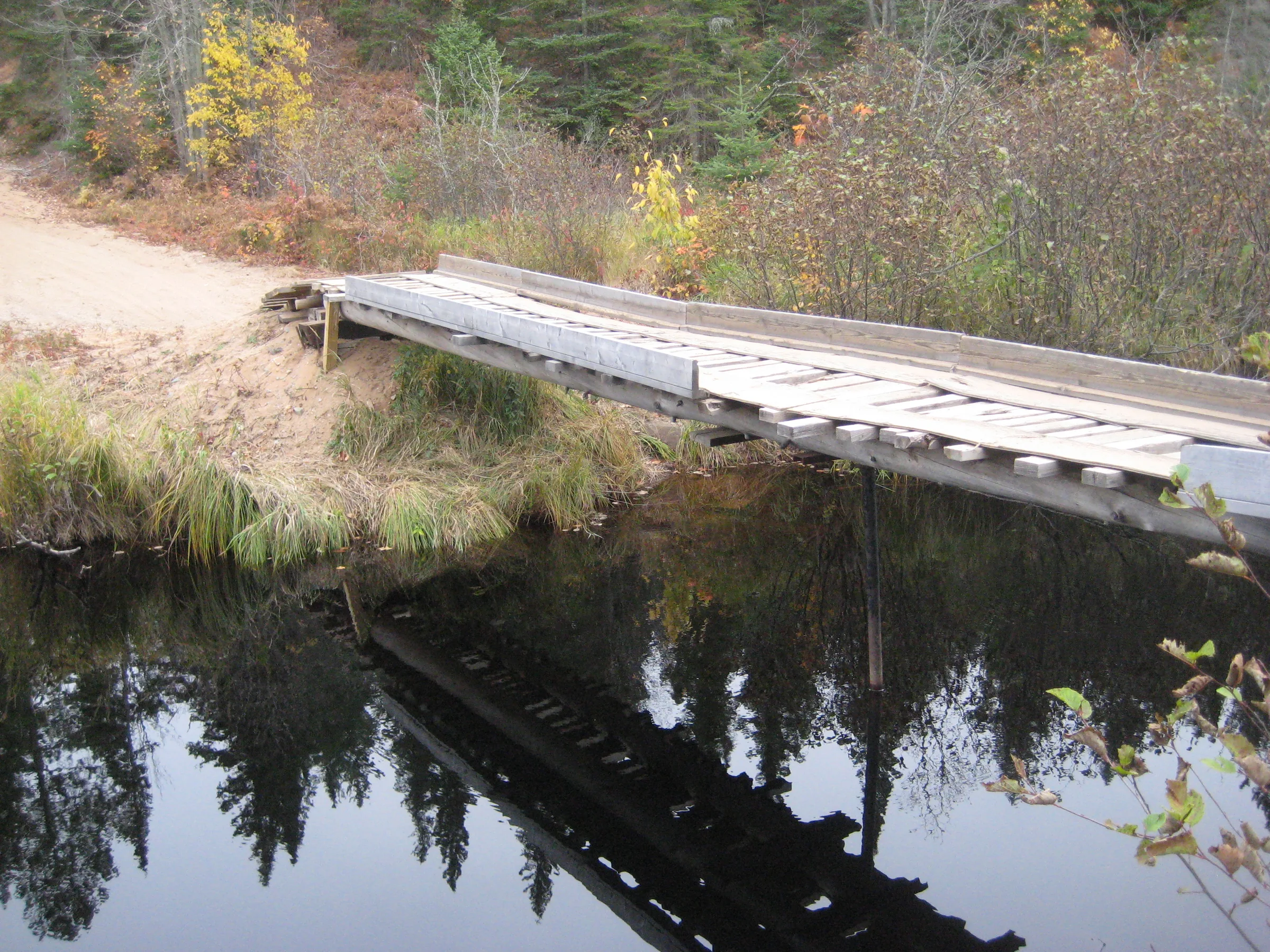
Two paths lead in. The easier path involves crossing the creek here over the wobbly ATV bridge and following the track for .4 miles before it starts to veer right away from Mulligan Creek. Cut off the track and follow the north bank for another .4 miles to view the falls, passing by a small hunting camp on the way. A tougher route that avoids the cabin would just stick to the south bank by the parking area, pushing through the thick undergrowth along the creek for about .7 miles.
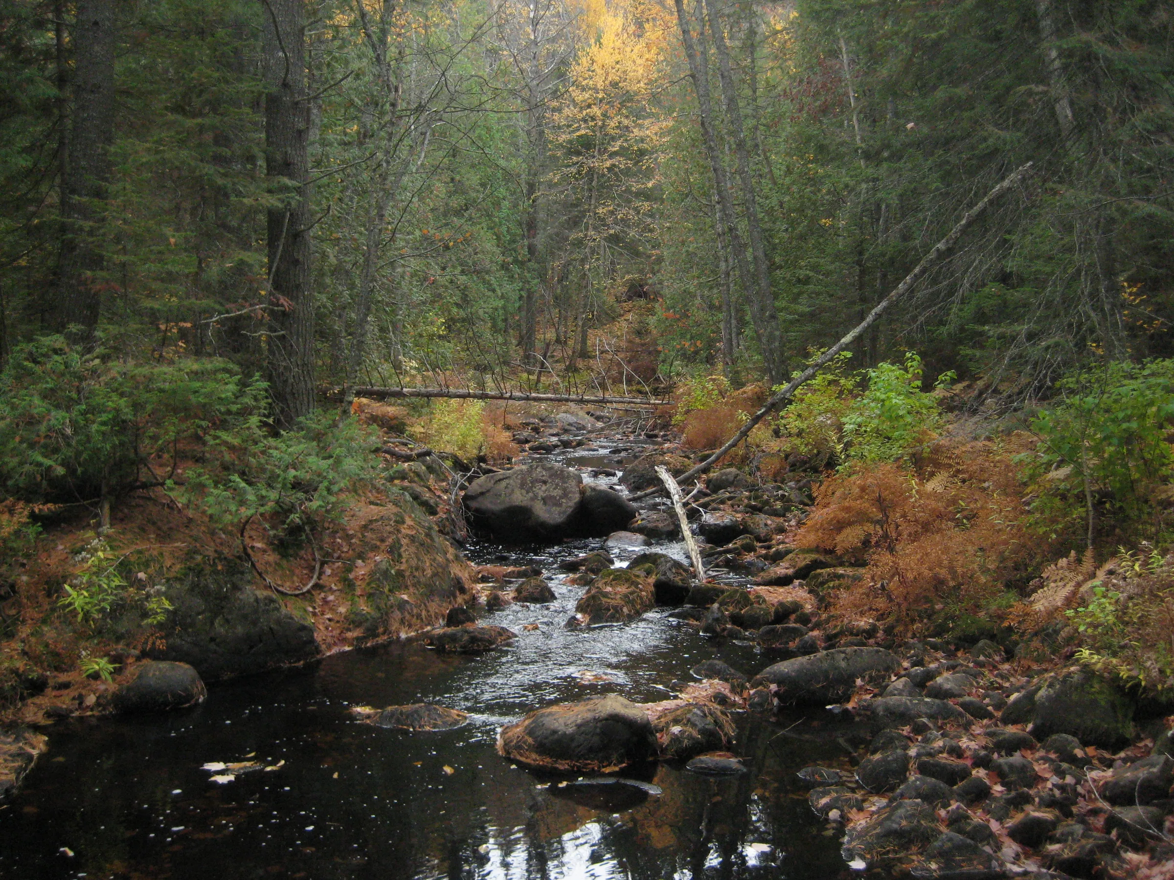
Once you reach the falls the north bank is easier to follow. Head upstream along the creek for about a quarter mile, past the two pools, to view all the falls. Smaller rapids continue upstream for a long ways, all the way to Upper Mulligan Falls.
Photographs
Visits
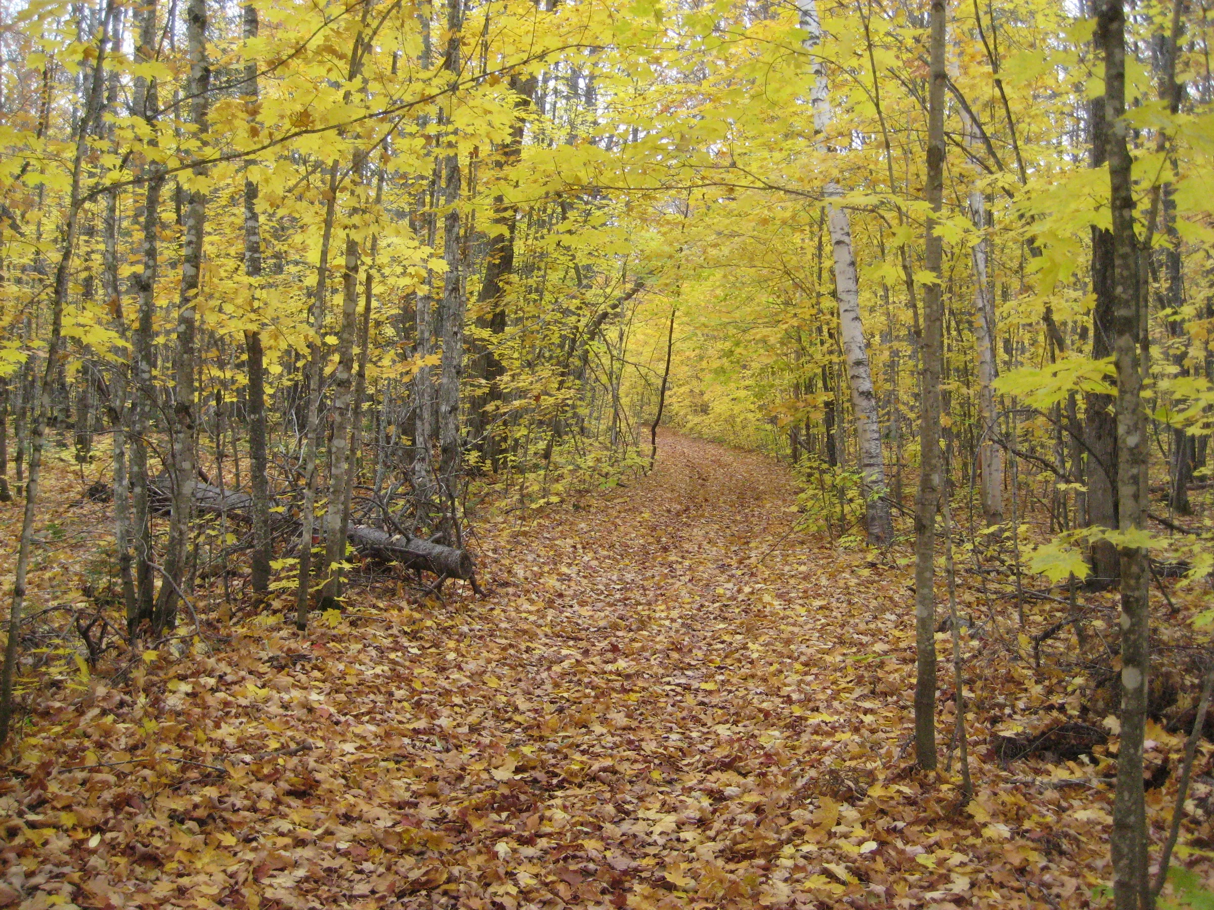
Seen in April and October.
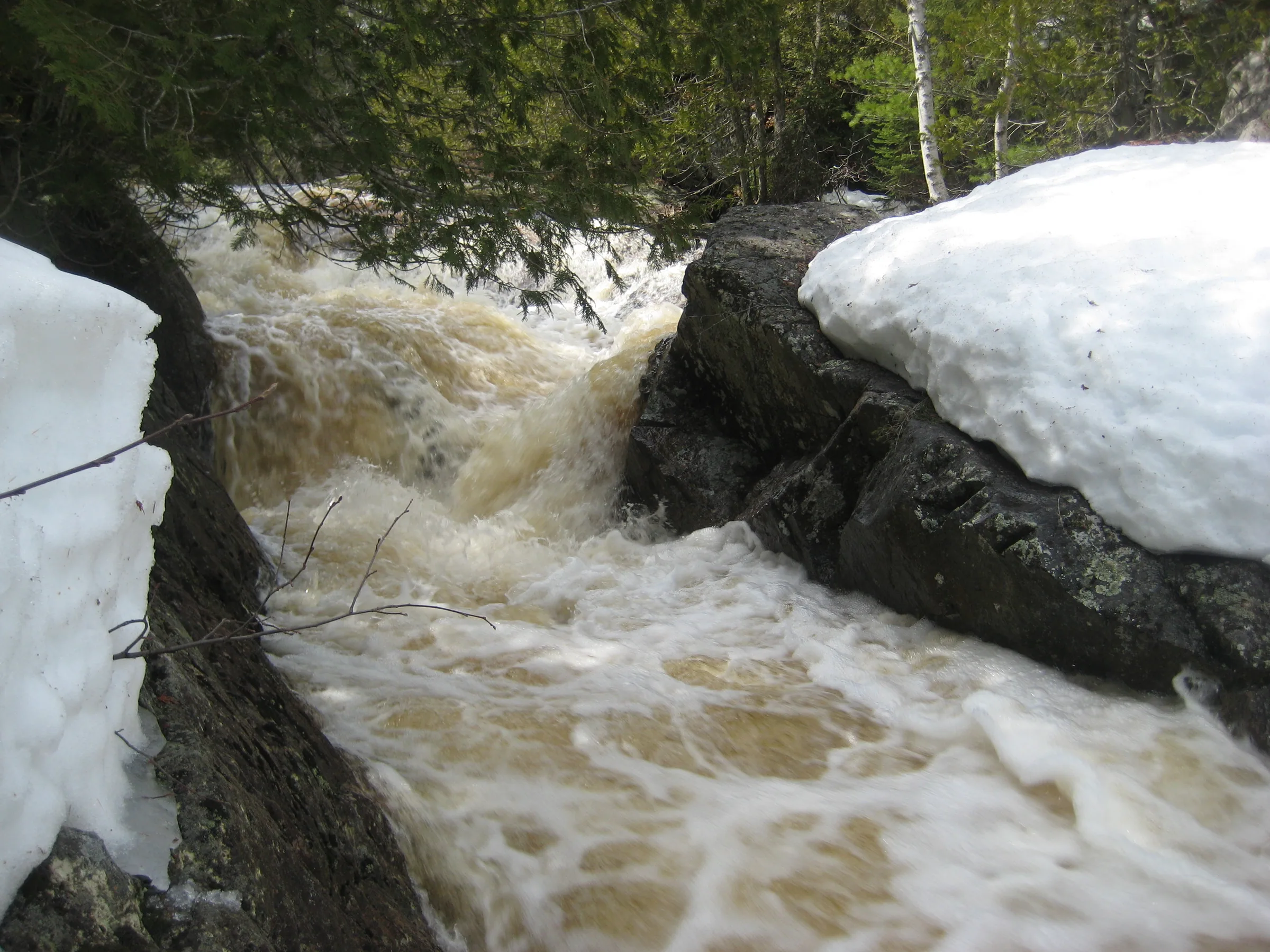
- flooded, each scenic drop covered in white and froth
The chute was flooded, each individual scenic drop covered in a rush of white and froth, but this was the second group of falls that Faith and I had found. A few short minutes more and I was at the last of the waterfalls on Mulligan Creek. Any excitement that I would have felt from re-finding these drops in full flow was dampened by exhaustion.
This waterfall is not a single impressive drop or a series like our earlier stops. Instead we found a long chain of dozens of drops, most around a foot or two tall, all buried within a dramatic rock gorge. They varied a lot, some plunging off of narrow shelves, others sliding down smooth grooved channels, while still others tumbling between boulders or within jagged chutes, with deep, dark pools scattered along the creek, tainted to a black from the upstream swamps. The view in front of us at the base of the falls was crazily beautiful, the water pouring out from a deep narrow canyon over separated channels into an evil-looking pool.


Comments
6 comments
Did Volker fish the Mulligan?
Not sure if he did, but given his wanderings I'm sure he was familiar with the area.
This is private property
Do not go to the falls, very protected land.
Do you know who the property owner is, and if they'd be amenable to allowing a person or two through?
Hi TJ - I'm not sure who the owner(s) are of the surrounding lands, but I'd avoid this waterfall if I were you. There's other cool waterfalls nearby (Wildcat, Rocking Chair) that are accessible and arguably more scenic.
Leave a comment