
Silver Falls
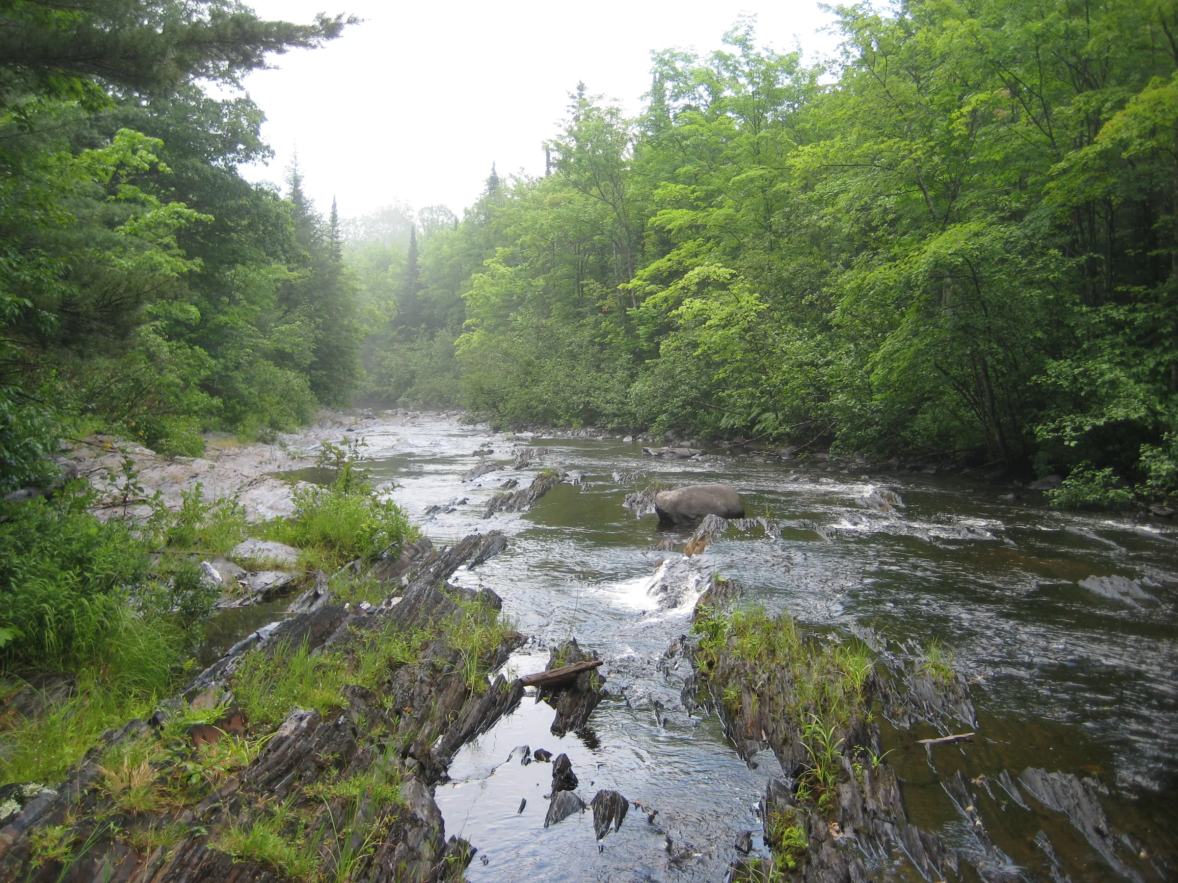
Silver Falls, or Lower Silver Falls, is a well-known waterfall just off of Skanee Road a short distance upstream of Huron Bay. A nice parking area and outhouse sit here along with several paths leading up and around the different drops here. The roads are reasonably maintained and the area is well frequented by tourists and locals alike.
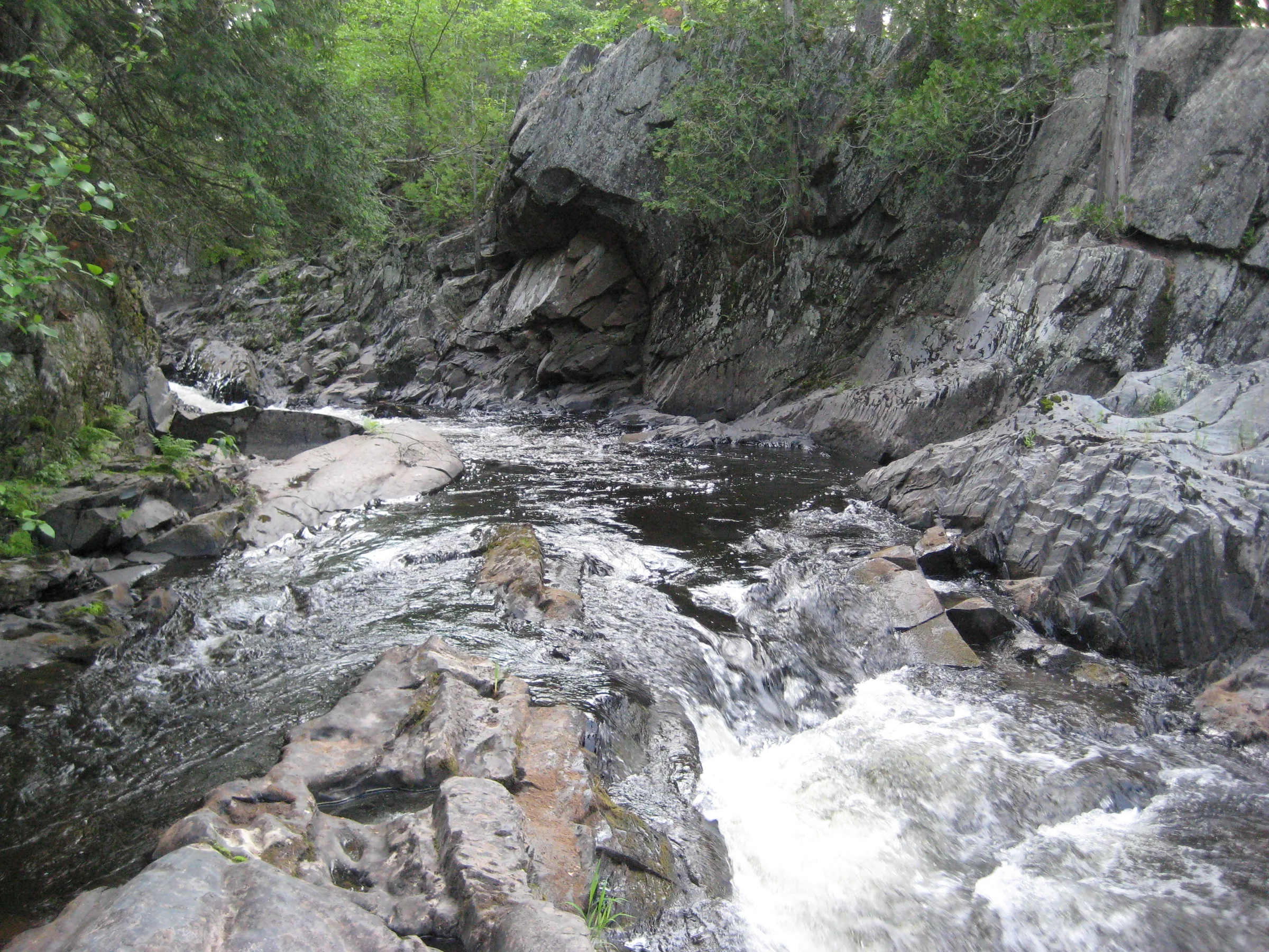
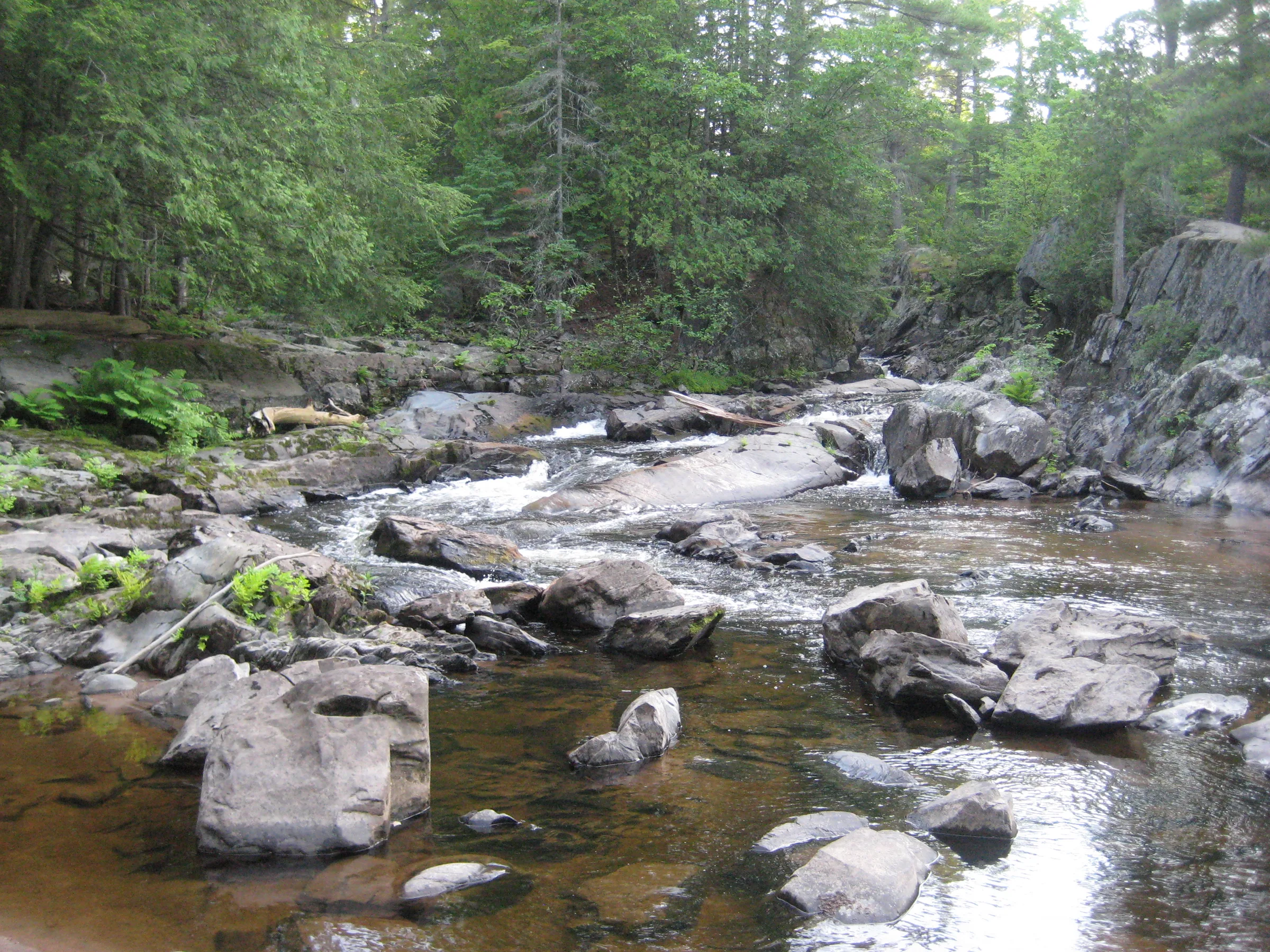
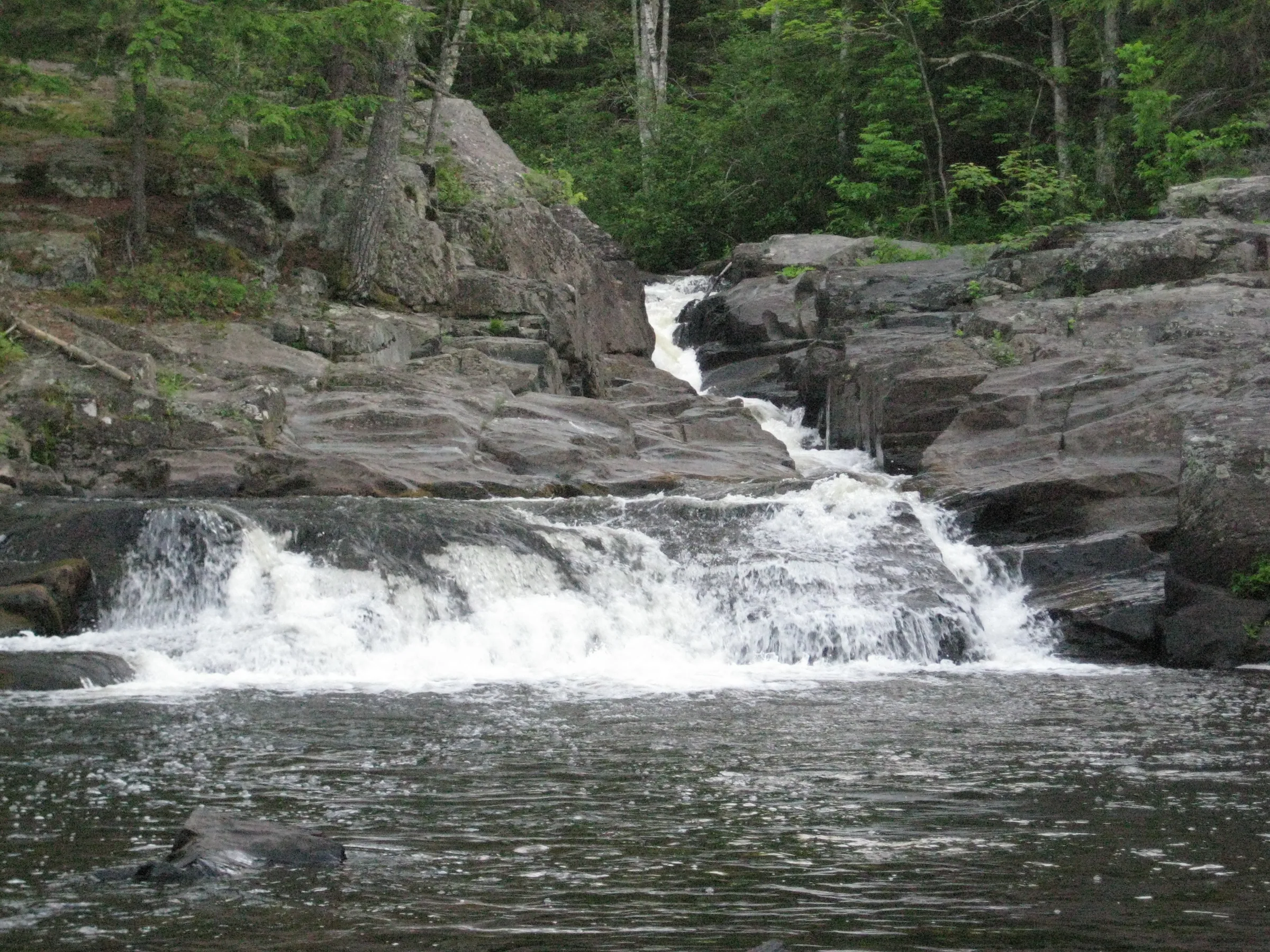
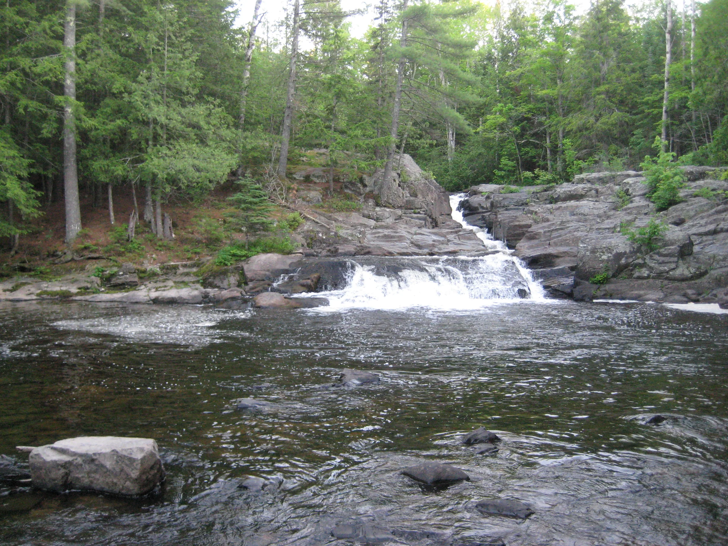
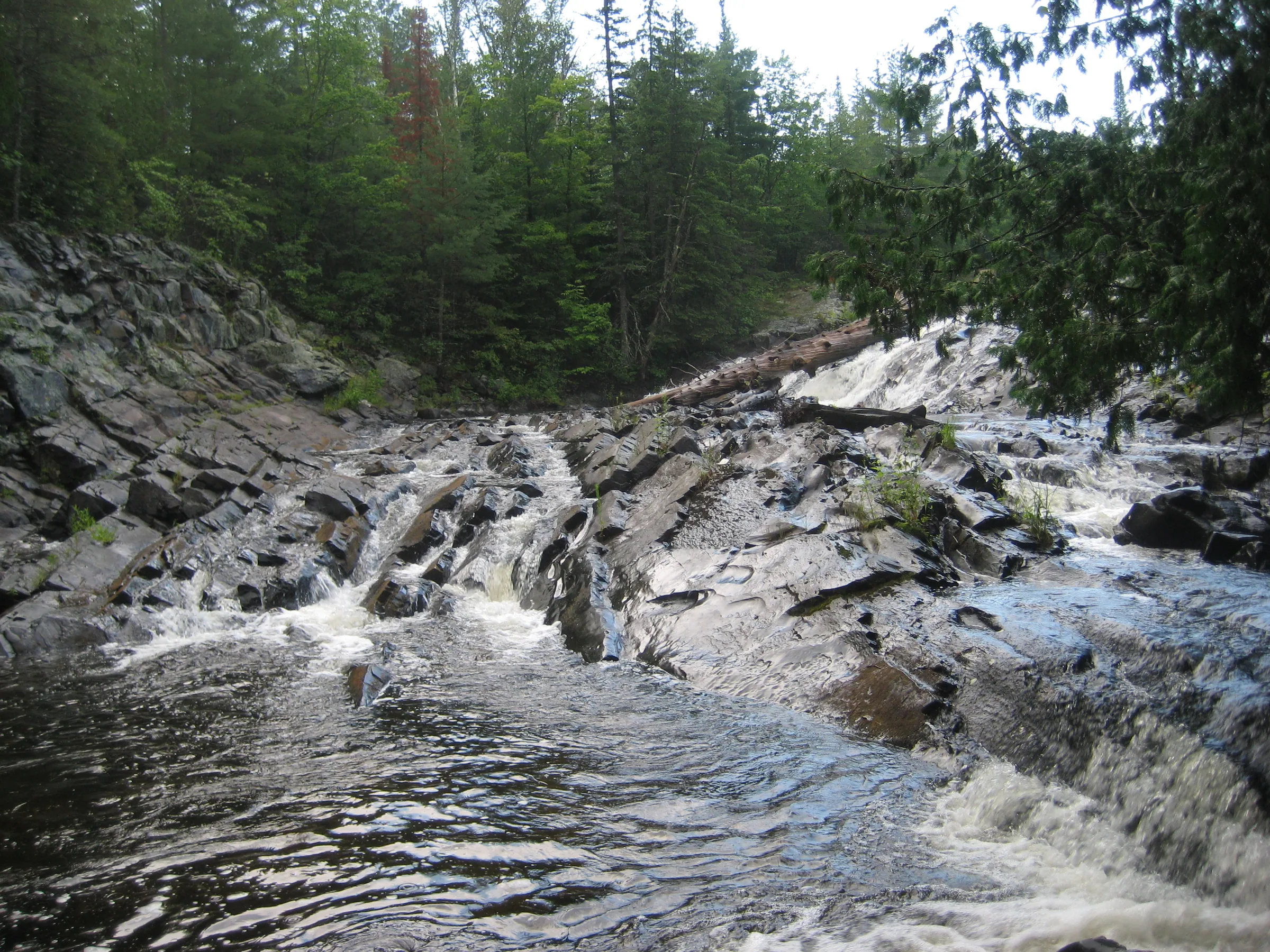
Two falls sit here, although most people are only familiar with the lower ones near the parking area. A set of two chutes separated by a rocky little pool, the lower falls are surrounded with impressive basalt outcroppings and large pine trees. The lower of the two chute empties into a deep little pool over a dramatic blocky plunge that forms an idyllic swimming spot.
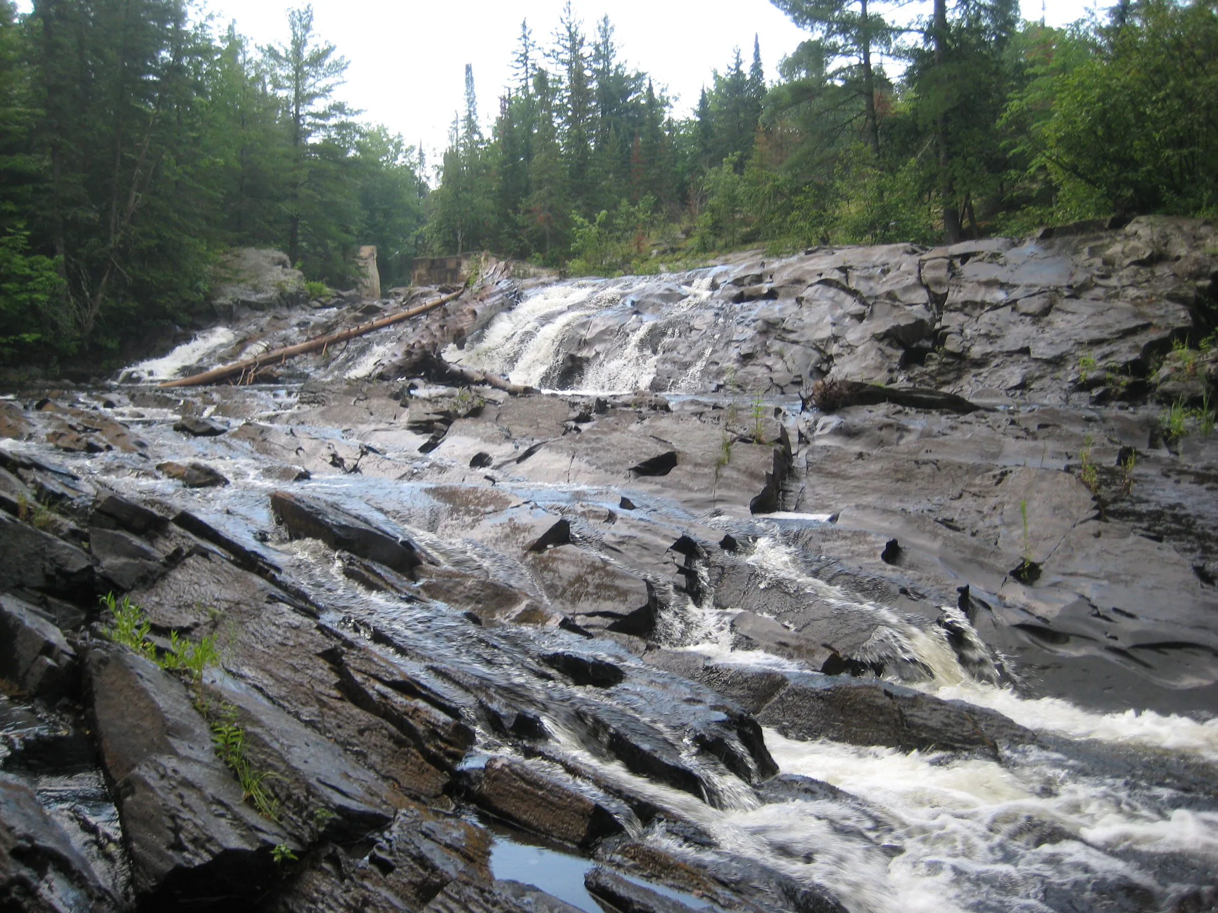
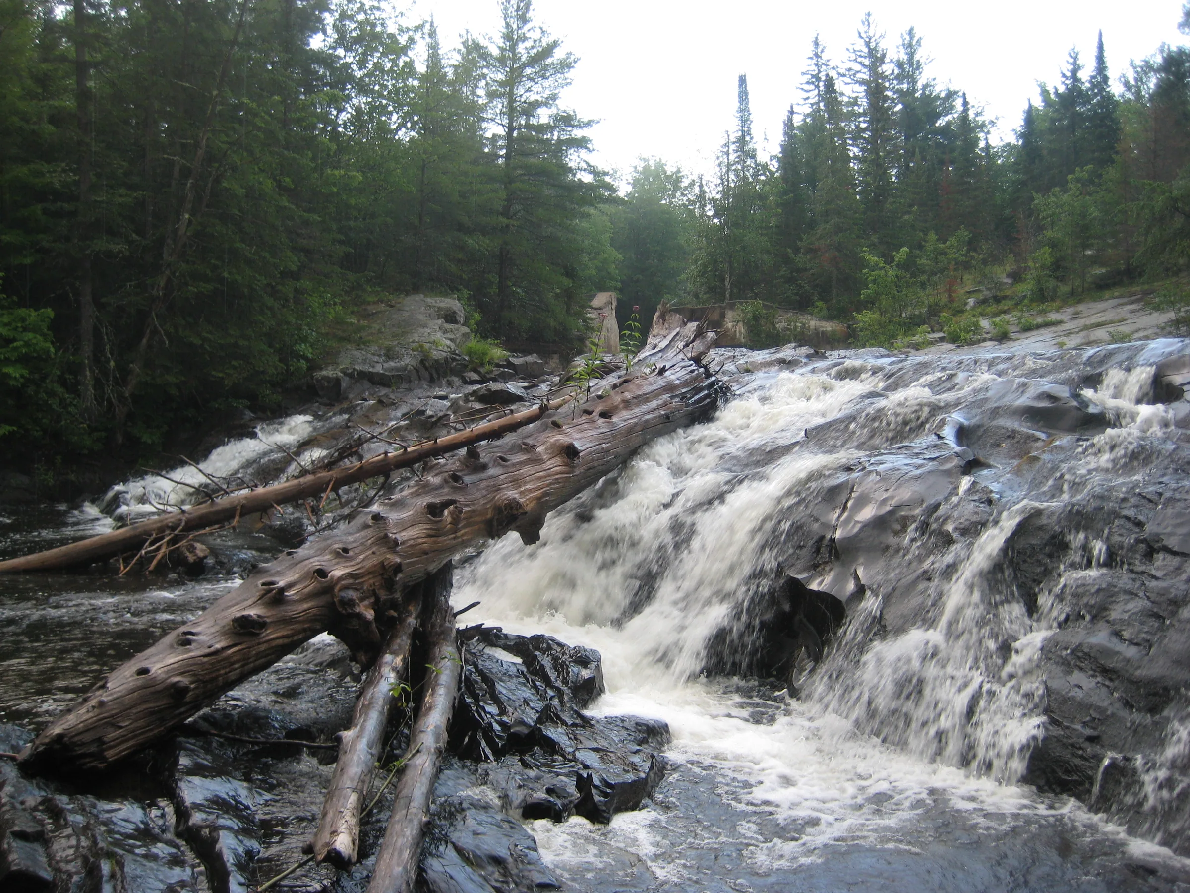
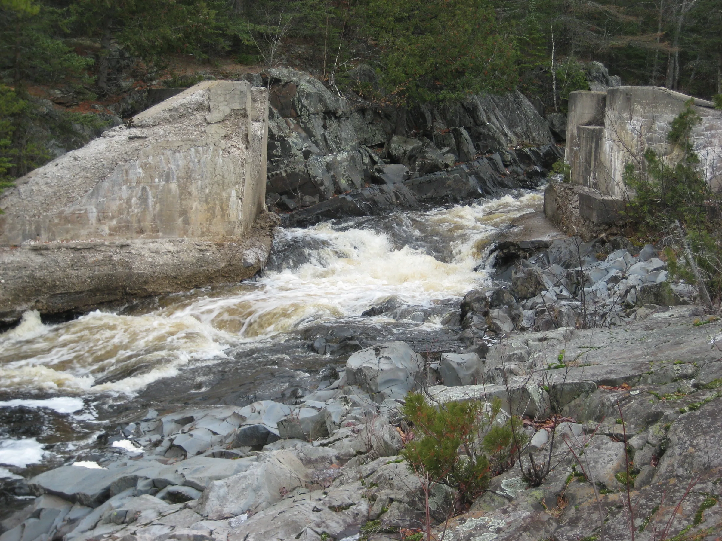
The upper half of Silver Falls sits a quarter mile upstream and is much less accessible. A narrow and broken trail leads up the river bank to a large sideways slide over rugged basalt below a narrow chute that still features the footings of an old railroad bridge. Silver River flows through the narrowed opening, pools briefly above the slope, before plunging down sideways and crashing into the opposite bank, twisted back on a northern flow. This upper drop is much larger than the lower, more visited, waterfall.
Directions
Head northeast out of L’Anse on Skanee Road for about 7 miles before turning right at a little brown access sign near the bottom of a hill. This track is Silver Falls Road and it forks after .6 miles. Take the left fork to view the main falls, parking in the open parking area and following the paths down to the river to view all the drops.
To visit the upper, less-popular drops, go straight at the fork and park on the sandy pull off before the road runs right into the river itself. Head upstream a few hundred yards to the falls. A path leads along the bank, though it may be difficult to make out in the undergrowth. There is no easy path connecting the upper and lower falls, although backtracking along the road to the fork is not a long walk.
Photographs
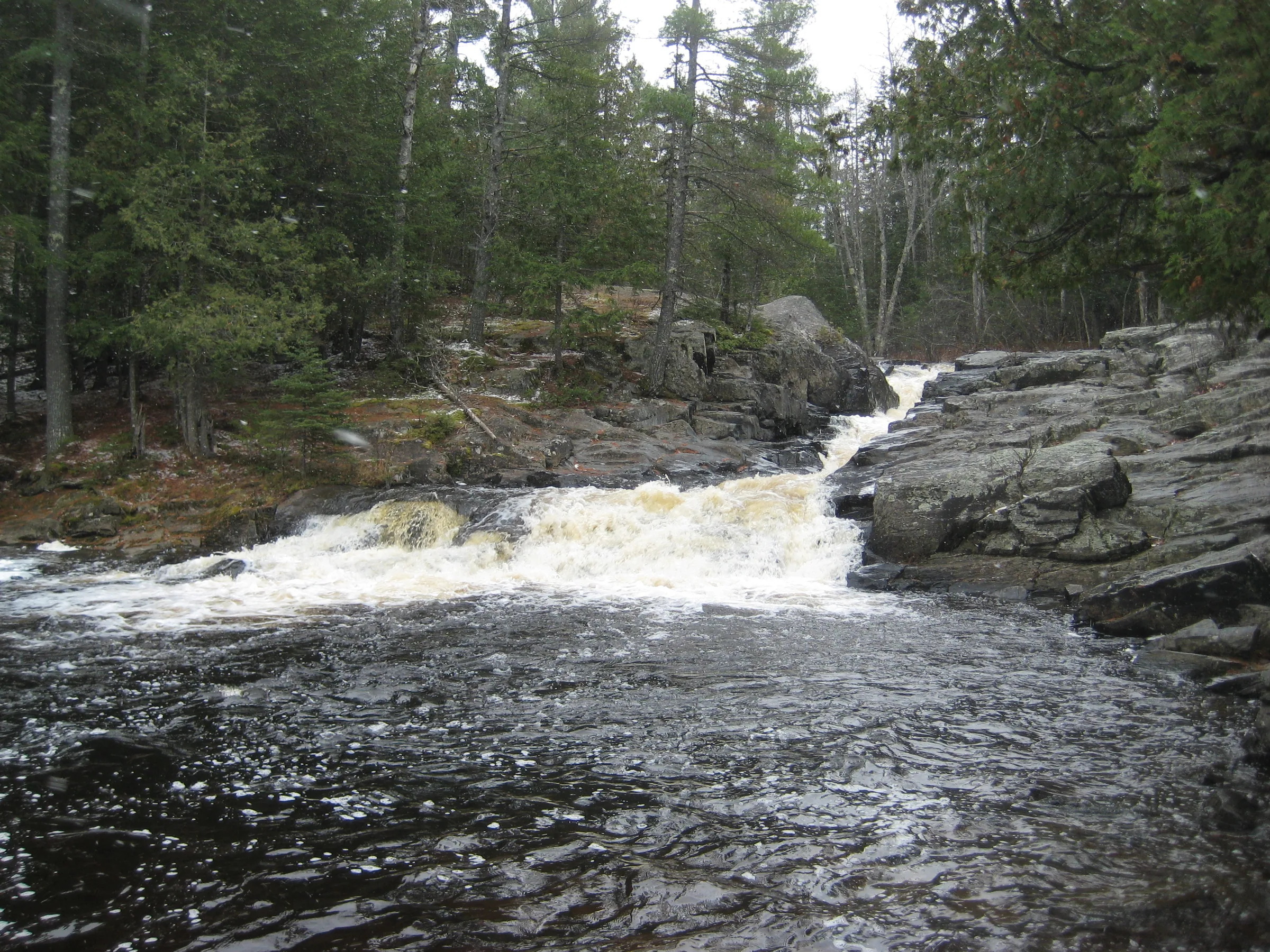
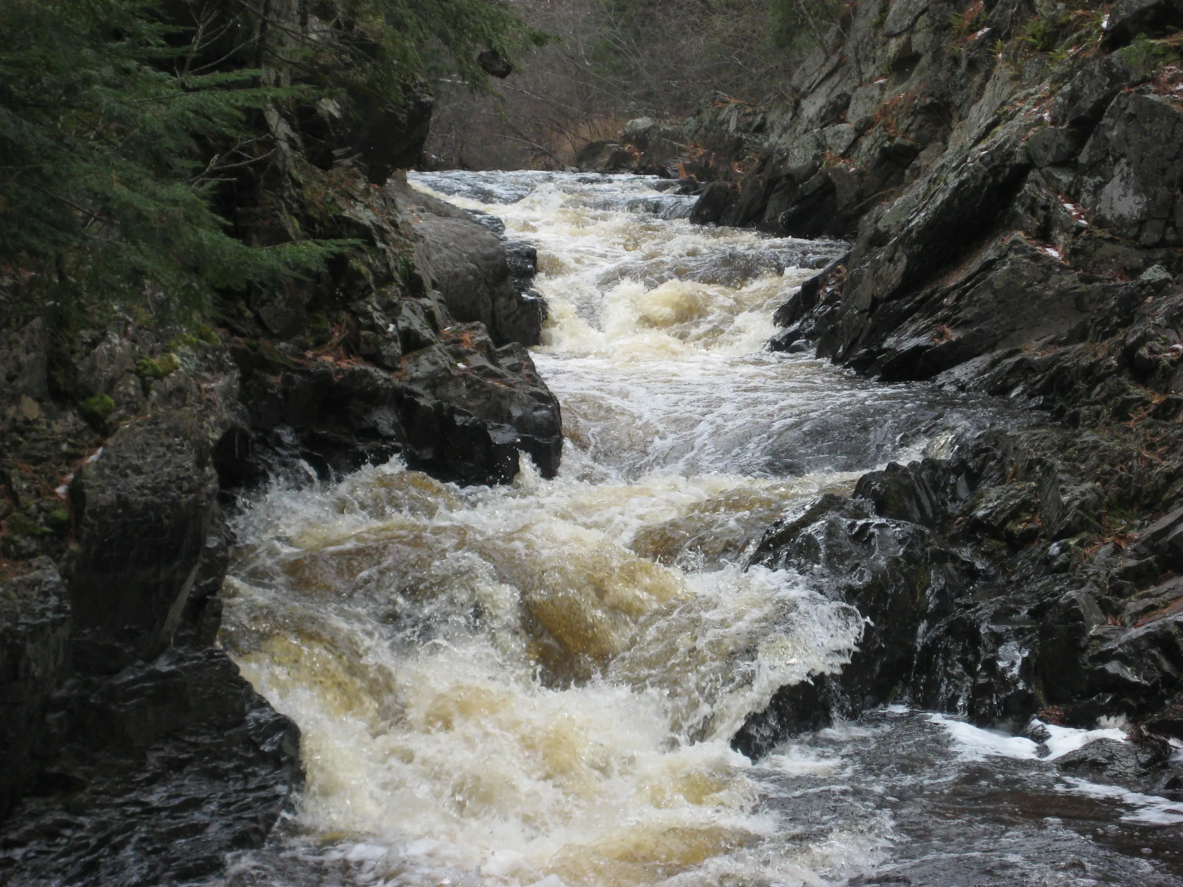
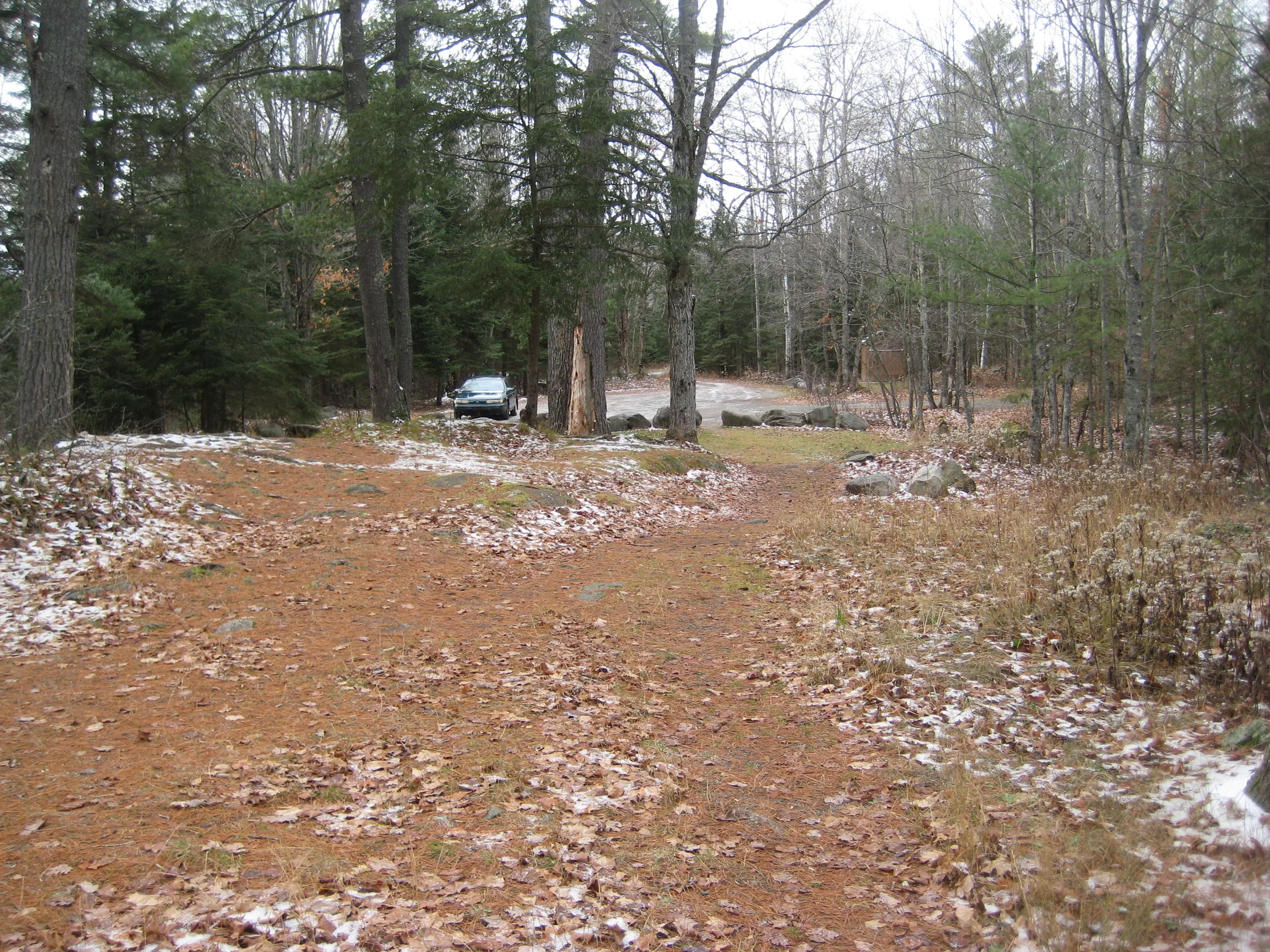
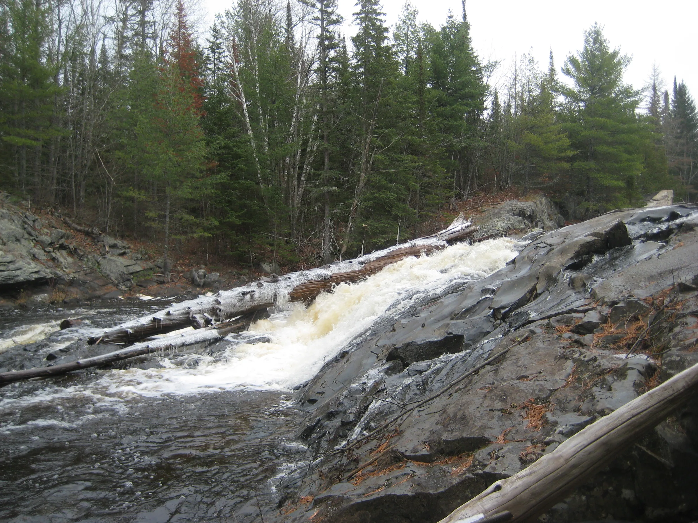
Visits
Seen in January, April, June, July and November.
- still full from the spring melt
Below the lot the river roared, still full from the spring melt. We walked a short distance down from the lot to the lower chute, keeping a wide berth from the angry river, and were shocked to see the waters washing right up out of the deep channel onto the nearby rocks. Even Logan kept a safe distance from the edge of the river. Katie and I had to shout over the noise to hear each other.
- covered in large mounds of white fluff, barely audible
Today was bitter cold. I quickly marked the location of the top chutes, not willing to spend the time climbing down into the narrow icy channel for pictures or a more accurate point. Almost everything was covered in large mounds of white fluff anyways, a few patches of dark water poking out in spots, with the waterfalls only barely audible. At the upper falls near the old railroad bridge the drop was completely covered in snow; only a small pool was exposed on top, showing me where the waterfall started, and that was it.
- flowing better than I had ever seen them
They were all flowing better than I had ever seen them, seething and foaming with power before tumbling into swirling pools. Between the fury of the river and glistening rocks we had to creep slowly over the rocks, often using a hand to steady ourselves, which elongated the usually quick stop. At the upper falls the rocks were too slick to attempt a crossing, so I had to settle for sideways photos of the sliding drop, perching myself in a few inches of water to get the best angles.
2 earlier visits
- rising fast in a thunderstorm
Upon analysis of satellite photos I noticed another drop upstream near a possible old railroad bridge, so I took the right fork today. It was pretty cool, a sideways slide that was much larger and more impressive than the lower drops. The way the water slides makes it hard to get a good angle; we were on the western bank and the river slid away from us, and the only way to get good pictures would be to cross above the falls by the cement remains of the small railroad bridge.
Lower Silver Falls is a spot that Katie and I had been to in the summer of 2006, a beautiful set of drops that are easy to get to. We stopped here and ate the subs while I explored the area and took some pictures. I thought that I knew this area pretty well and only photographed the upper and lower chutes near the parking area; later I learned about the upper falls, a few hundred yards upstream and around the calm bend.


Comments
2 comments
Hi Jacob-On your map, Middle Silver River Falls are pictured twice, once in the correct location and again where Silver Falls should be. Just Sayin.
Ugh, bad javascript selector. Thanks for pointing it out. I added a fix, though it may be a few days before it gets pushed out - my build system is backed up with a breaking change :(
Leave a comment