
Middle Silver Falls
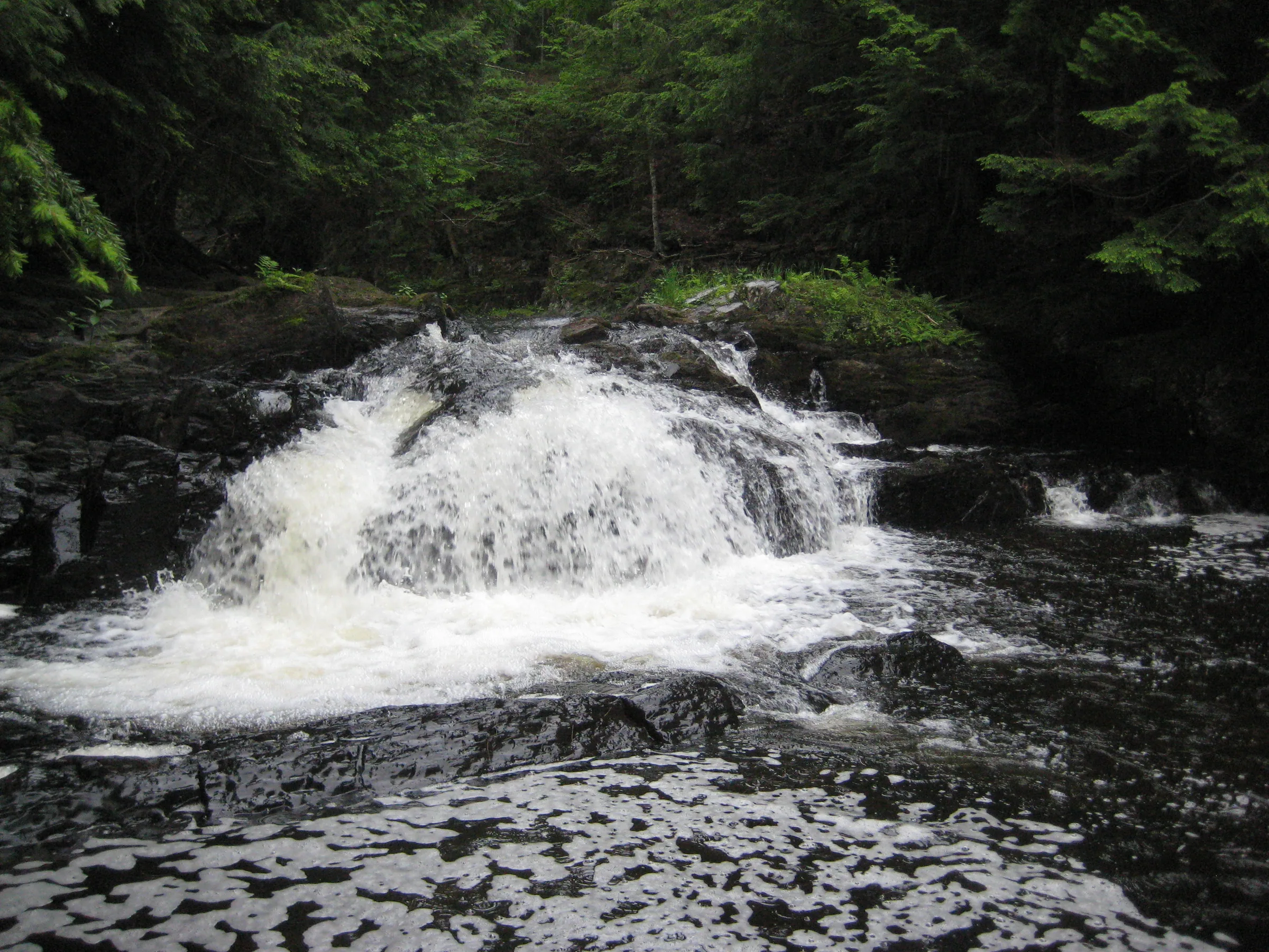
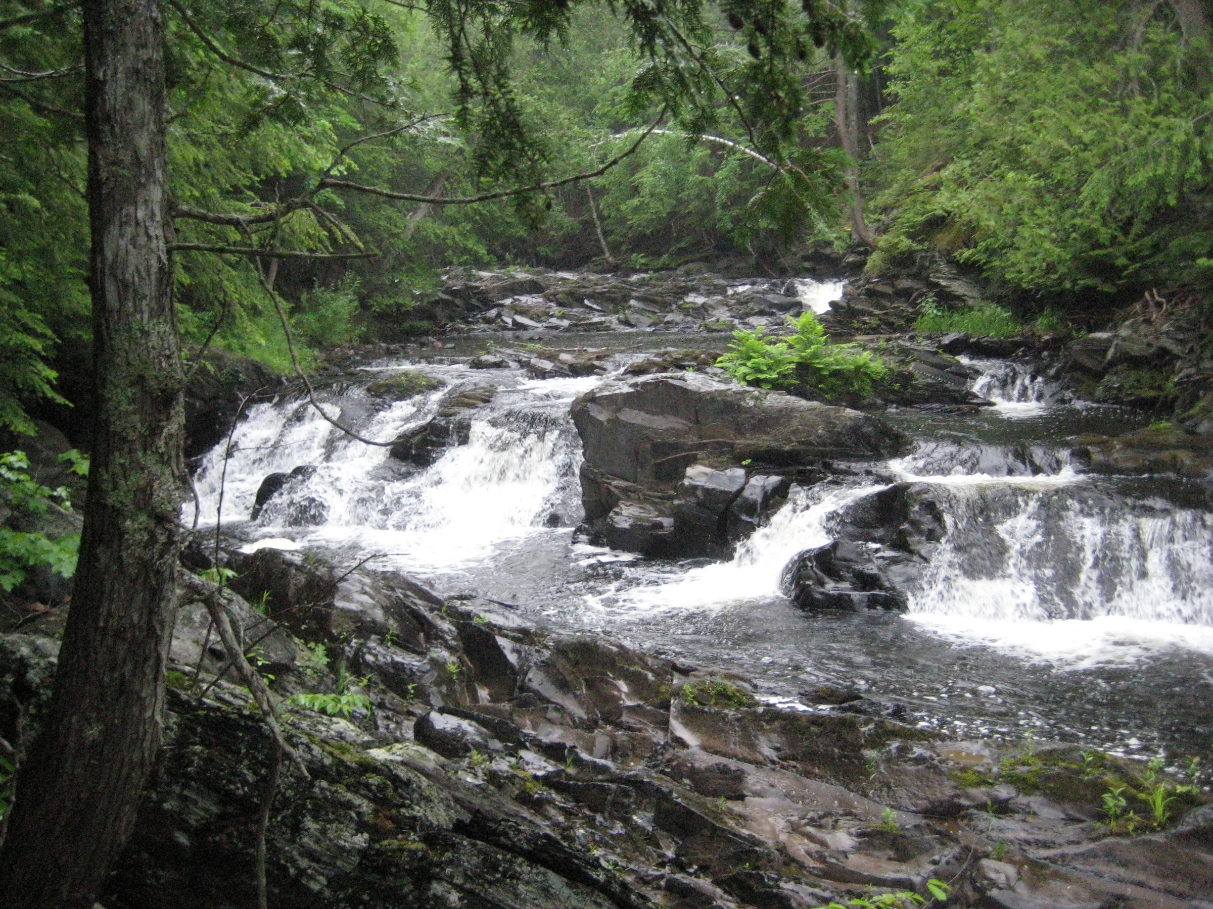
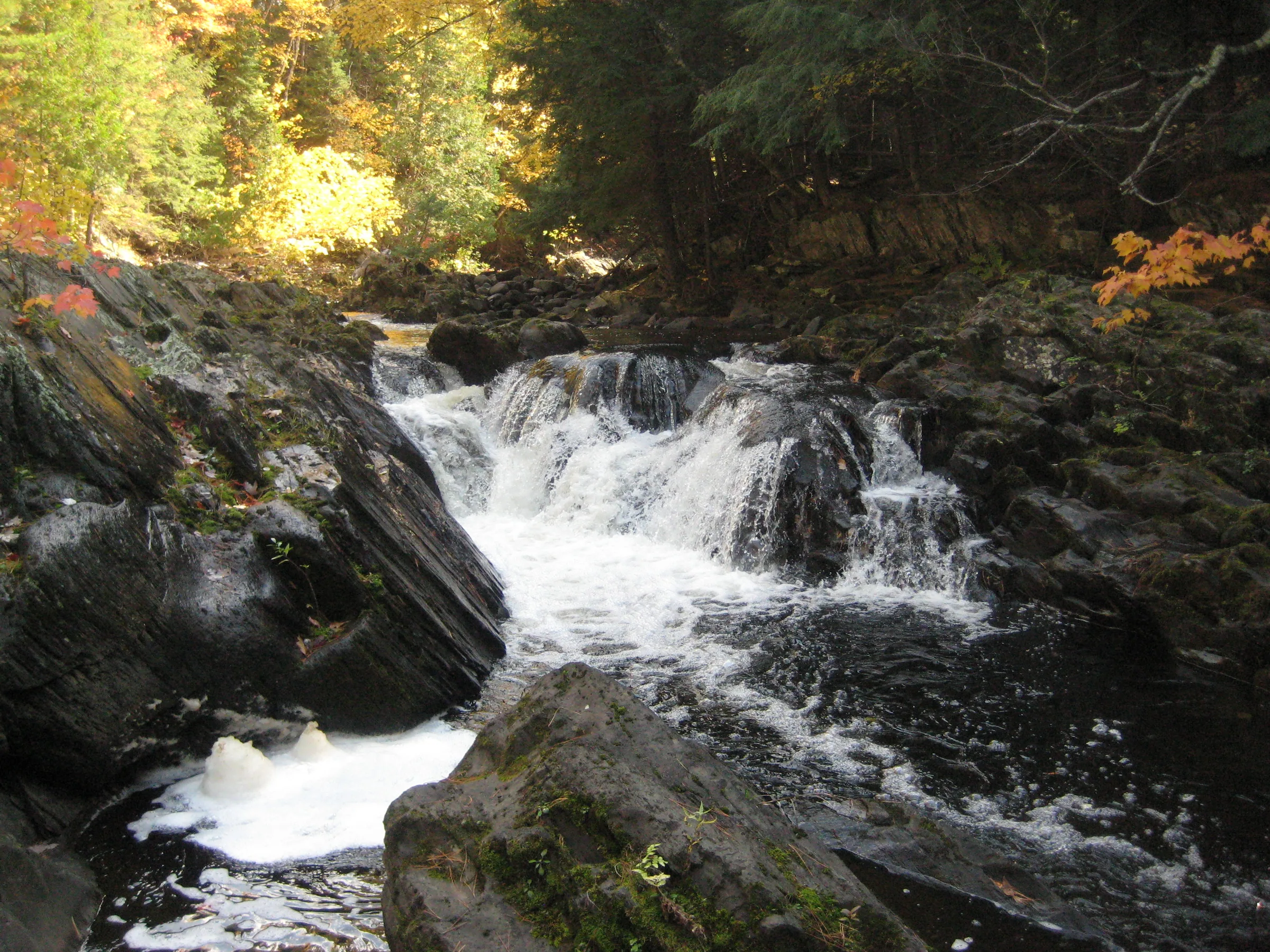
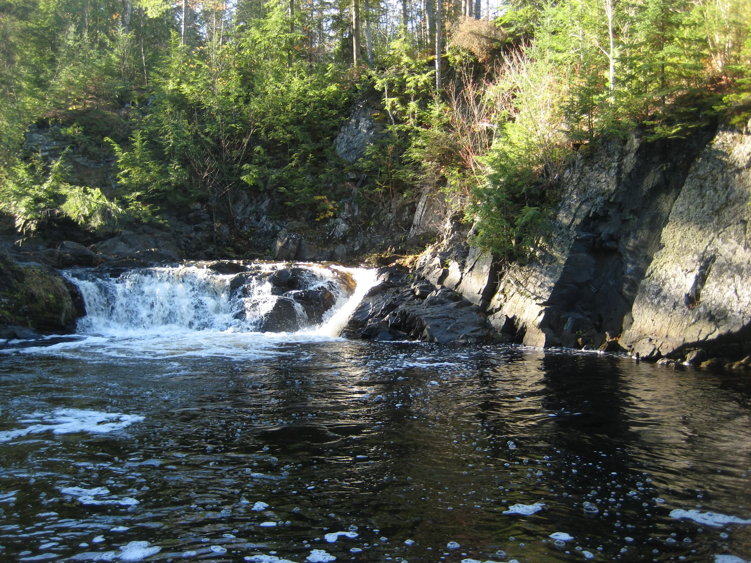
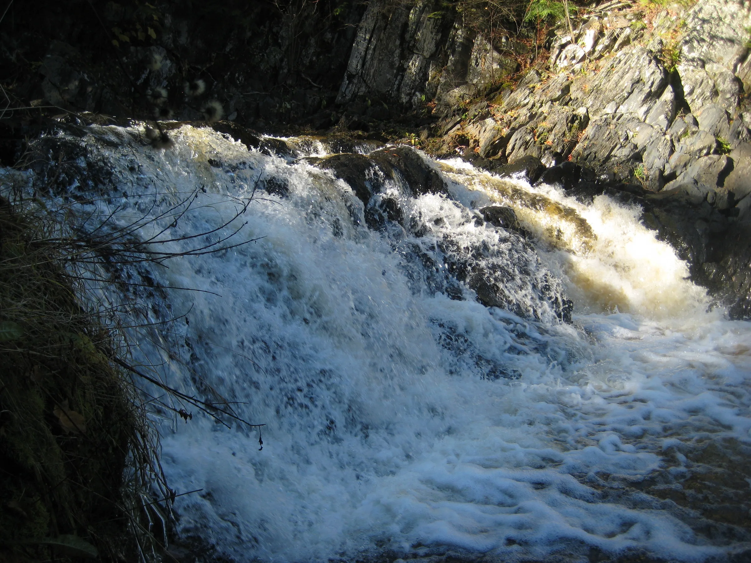
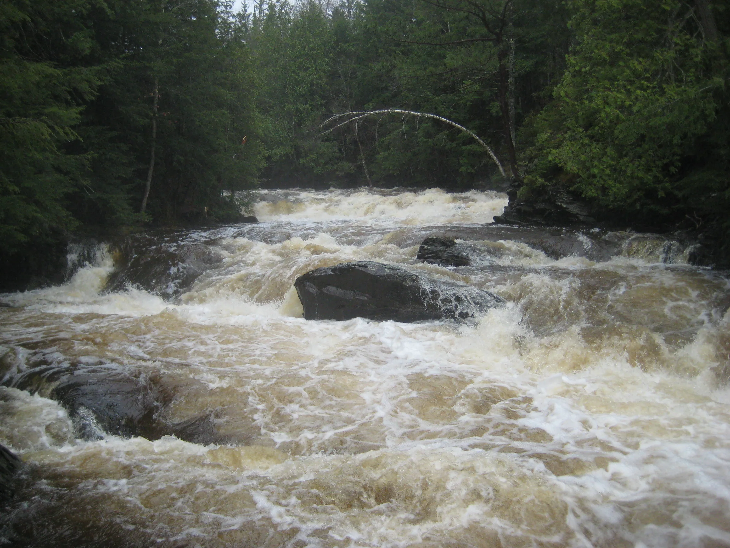
Middle Silver Falls is the general name for a long chain of waterfalls at the end of Dynamite Hill Road. The largest ones, located between Indian and Arvon Road, are surrounded by cabins, complicate access. Here the bedrock thrusts up from under the water, forcing the river down narrow chutes and over steep plunges, creating an incredibly forceful and angry set of drops.
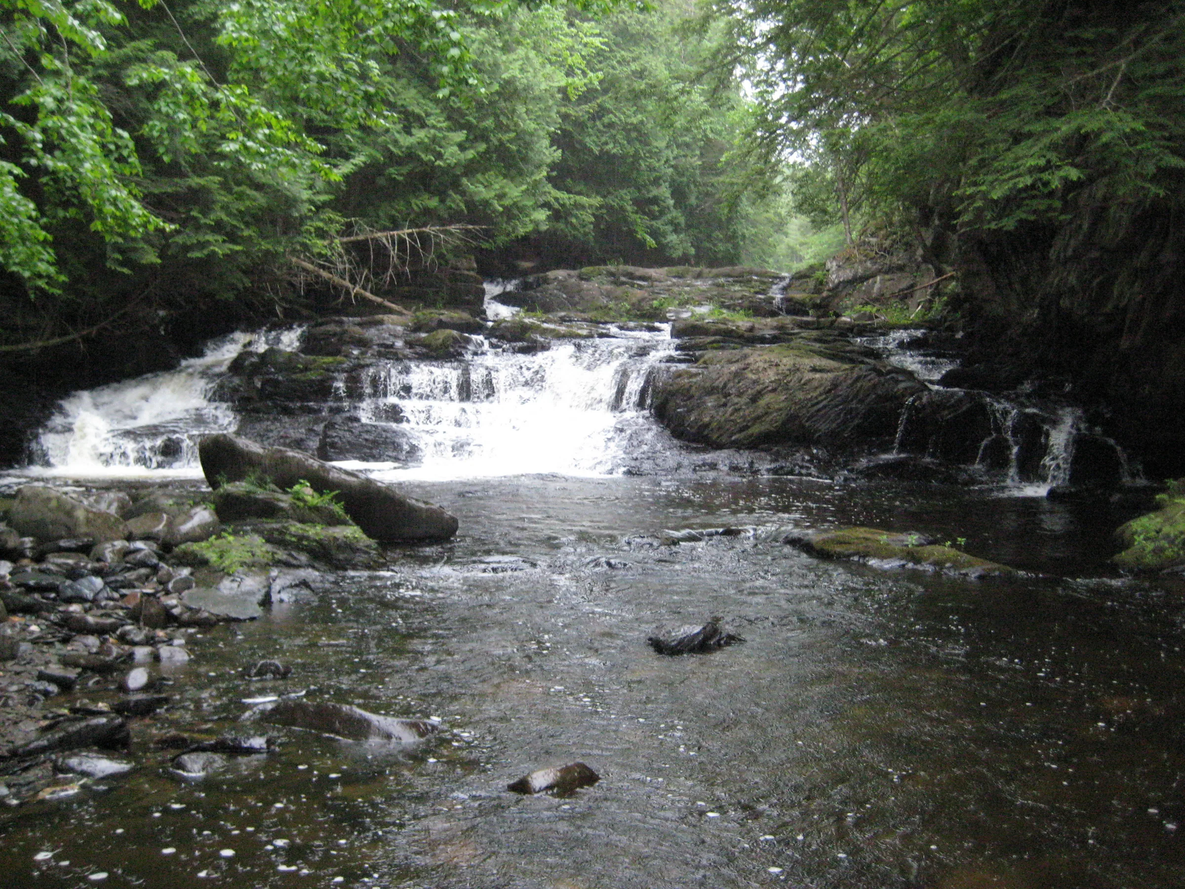
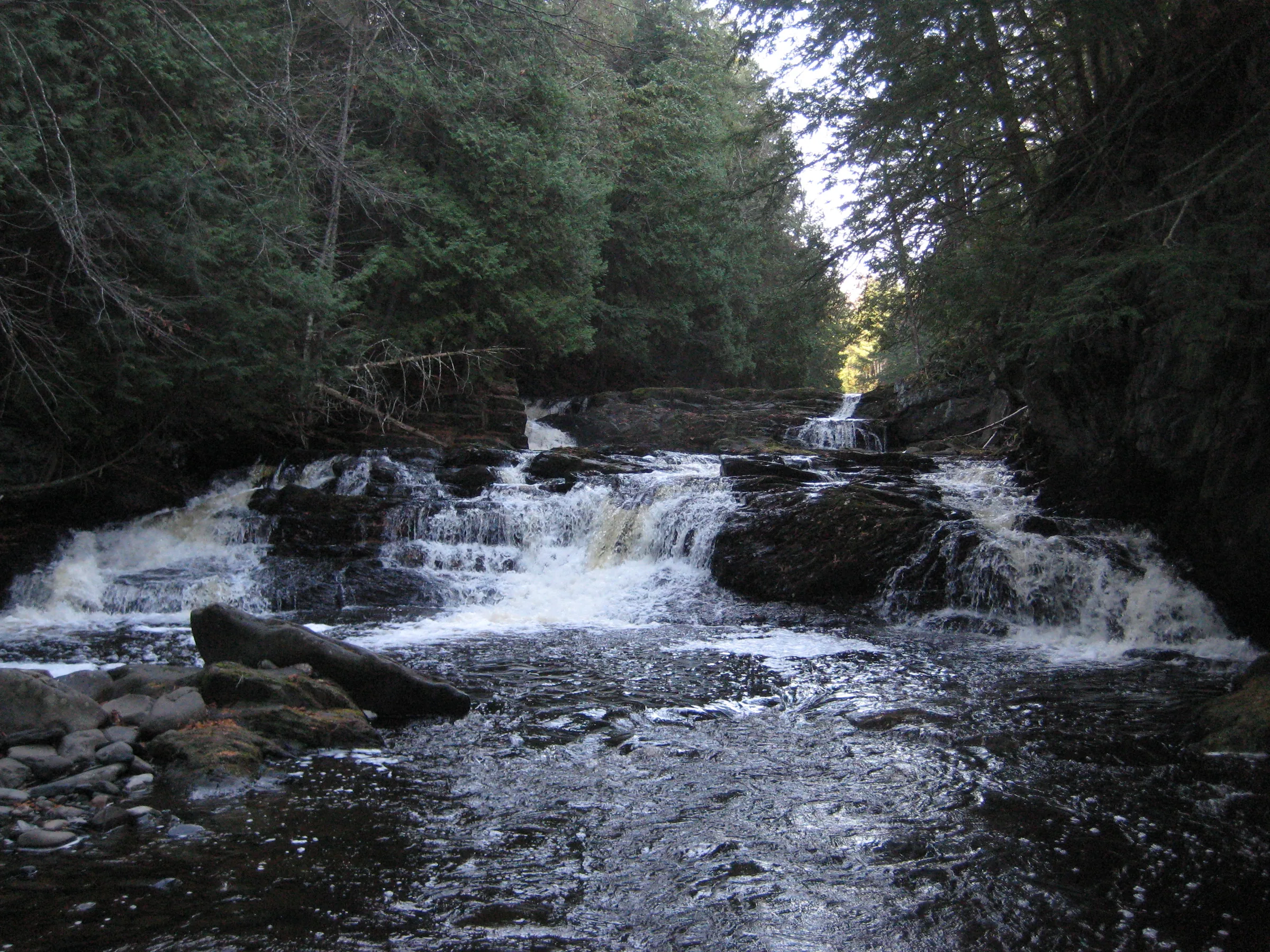
Downstream from Arvon Road access is a bit easier, with a single cabin on the west bank that is far above most of the drops. These waterfalls are more subdueded but still very scenic, blocky drops over the tough rock with a few direct plunges. Gomanche Falls sits on the west bank near the downstream falls, just past the cabin.
Directions
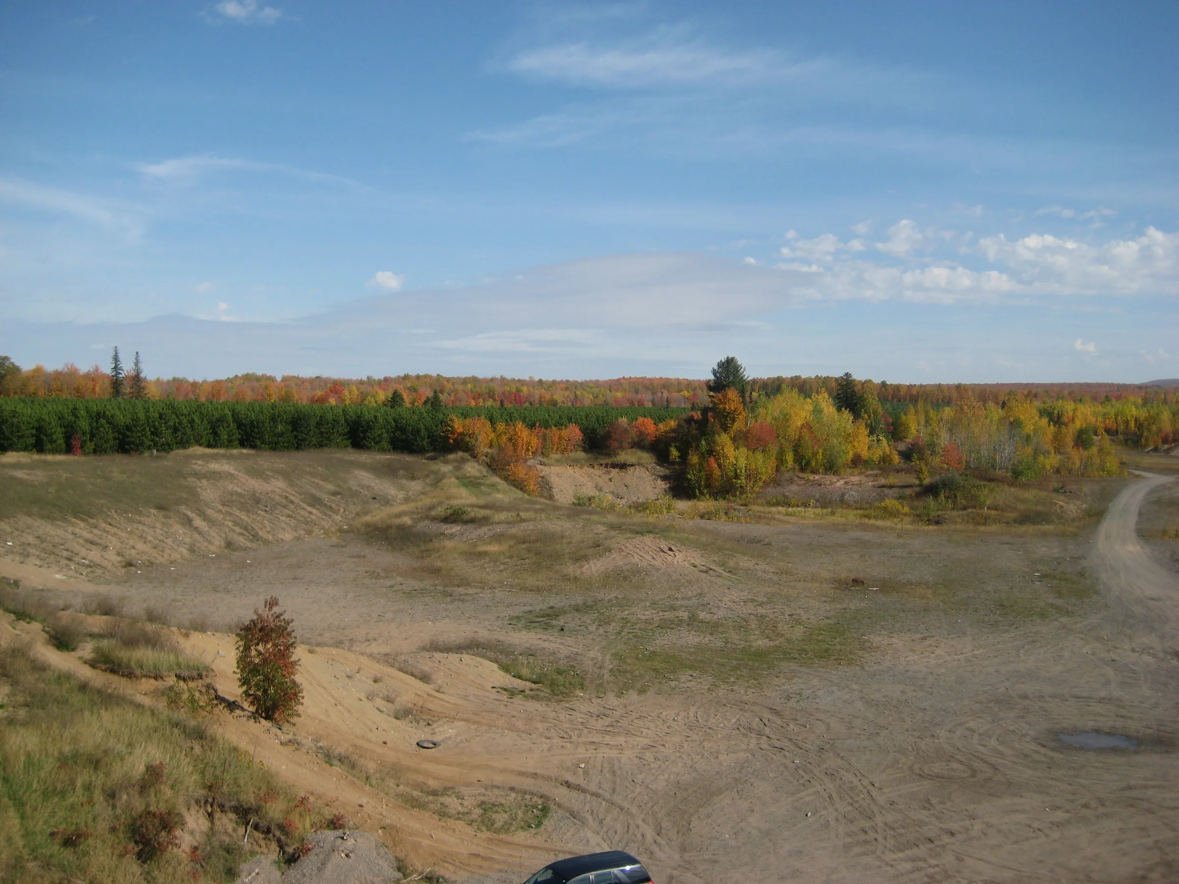
Dynamite Hill Road heads east from US-41 a short distance south of L’Anse, along the long sloped decline near the famous Hilltop Restaurant. Turn down Dynamite Hill Road and follow it for 4.1 miles, bearing left at the final fork after it turns from pavement to dirt (and technically becomes Arvon Road). Park on the far side of Silver River, which passes under the road, near the unmarked gravel road that heads left through a sand pit. This gravel road (aka Dakota Farm Road) is usually gated.
Head through the gravel pit for a bit, parallel to the river. Stick to the left side when it opens up. A track will split off from the main road and head up the far left corner of the pit, try to stick to it as it leaves the pit. Continue on the track through the woods bearing left on any forks. After a while the track should peter out, head down to the river. The lowermost falls should be near here. If the river is swampy and winding you’ve gone too far, if it is straight with steep banks than you haven’t gone far enough. Hike upstream from the lowermost drop to view all three of the lower falls.
Accessing the upper falls are a bit more difficult. Three groupings of falls sit upstream of Arvon Road. .4 miles on Indian Road, after the fork with Arvon Road, there is an overgrown two-track that heads east. This will take you to the first group. From here you can head upstream a few hundred yards to visit the second grouping. To access the third grouping, which happens to have the most private property around it, find the track that is 2 miles from Arvon Road and head north, parking when it gets too rough, and head to the river and follow it upstream.
Photographs
Visits
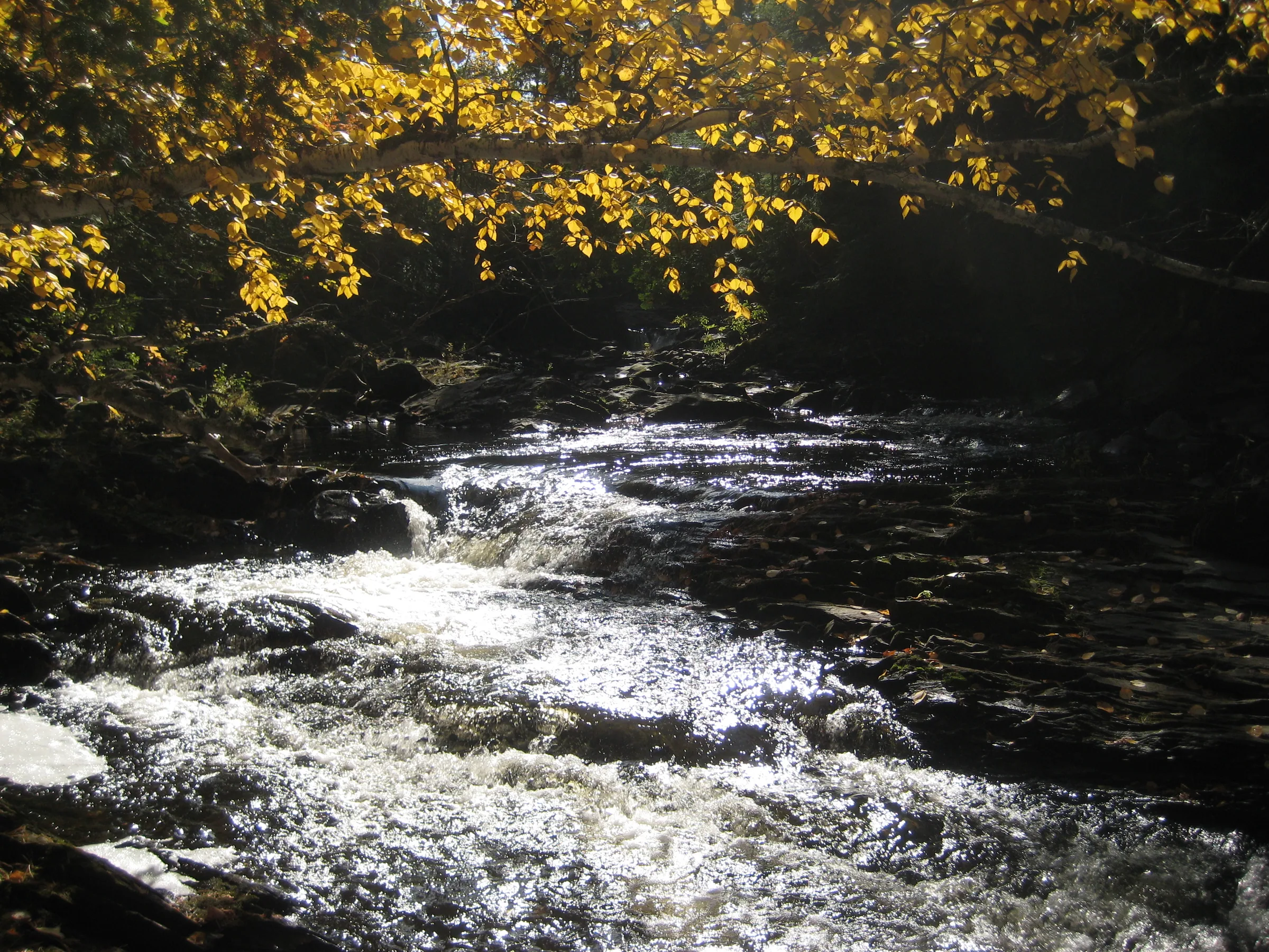
Seen in April, June, October and November.
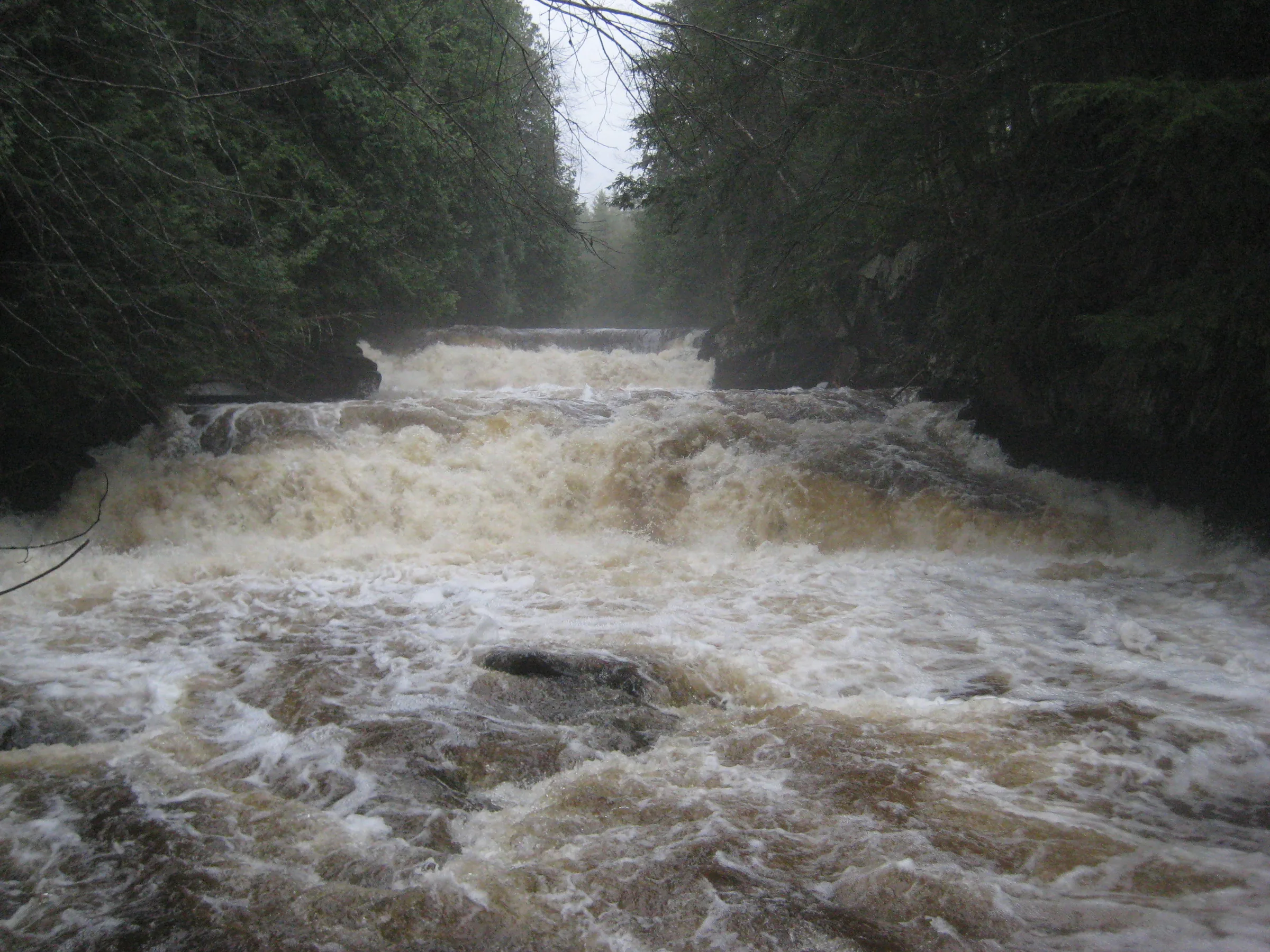
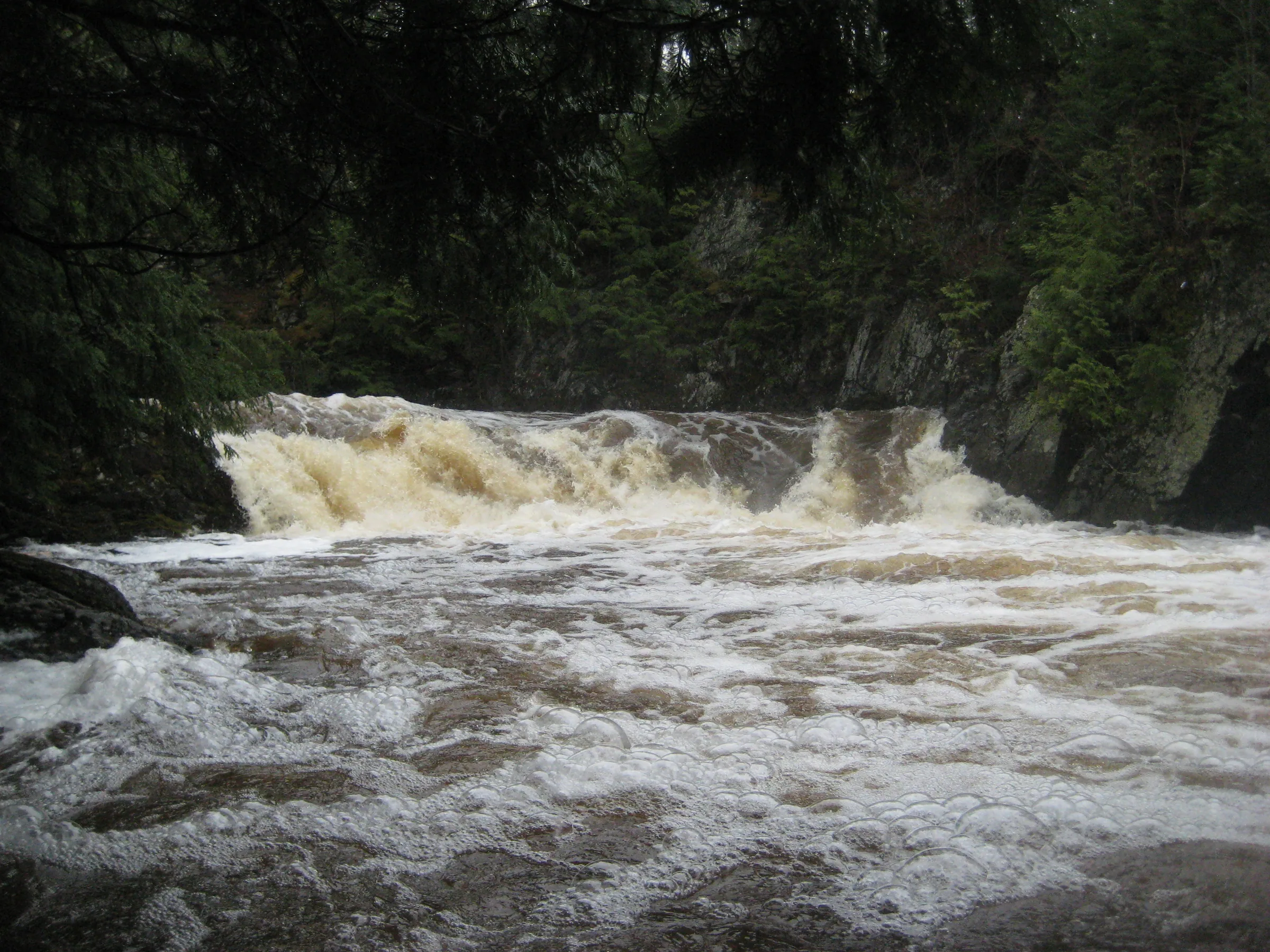
- flooding, an overwhelming mass of brown-white water
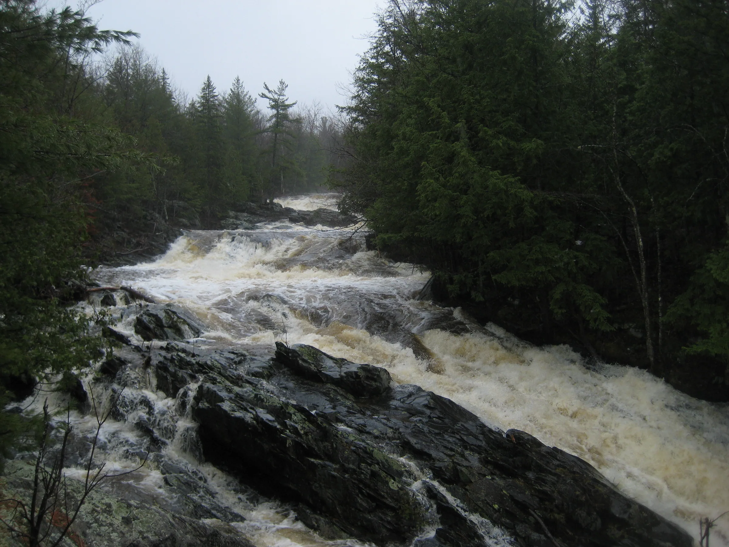
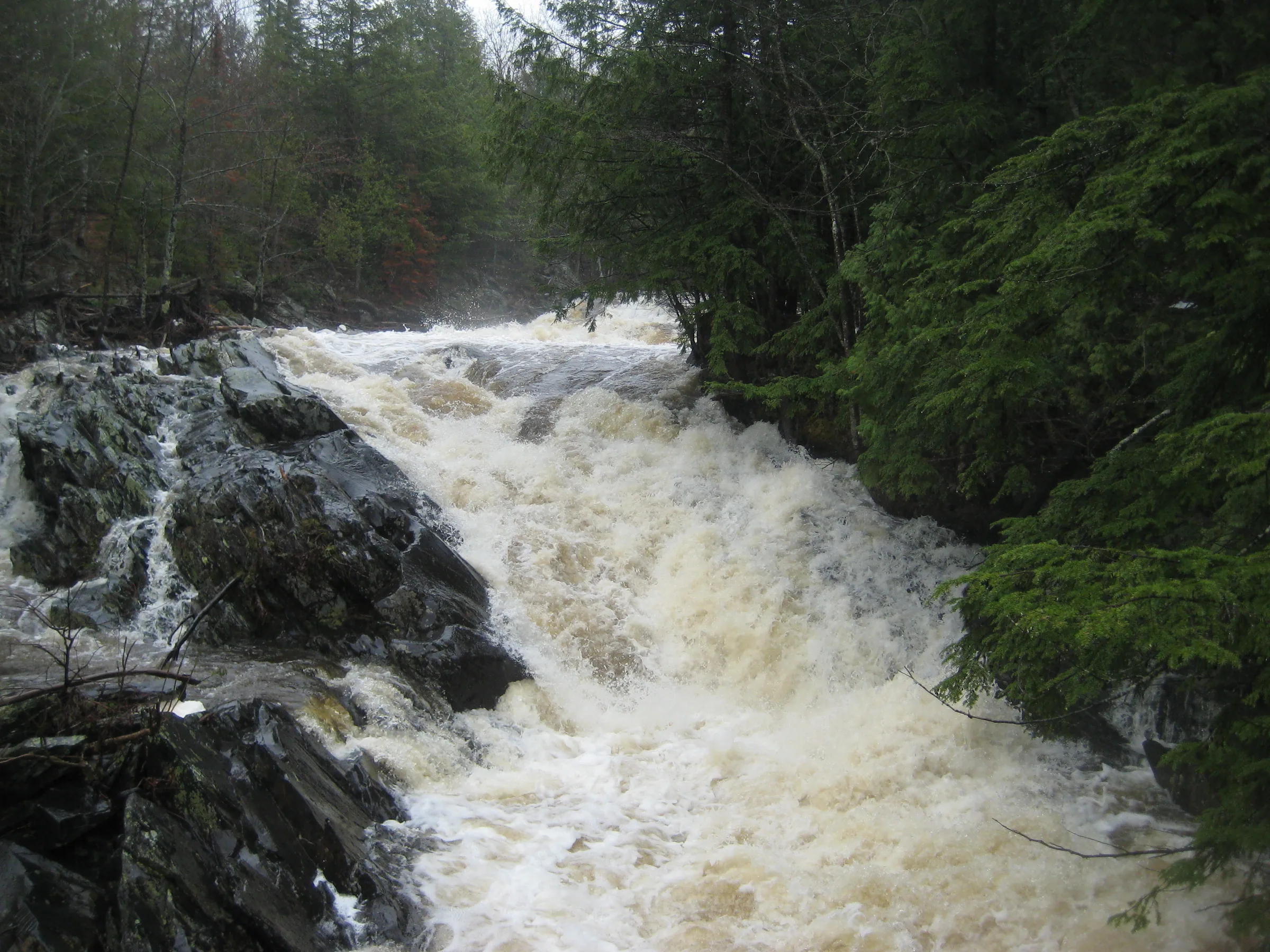
A few minutes later and we stood next to an overflowing fury that looked nothing like the Silver River that either of us were used to. Any scene or view I could have remembered from previous visits was hidden in an overwhelming mass of brown-white water and noise. It was insane. There was no drops here, no discernible waterfalls, just thousands of angry water rushing down; I had been expecting more water with the spring melt, yet this was far and away too much.
- frost, and the rocks treacherous with it
The rocks near the falls here are incredibly smooth basalt, worn from years of overflowing flood waters; even the hard blocky outcroppings sitting in the middle of the river's flow had gentle sanded tops. With today's cold temperatures these rocks made a treacherous riverbank, and I had to creep carefully along them, grasping onto the overhanging roots to maintain balance. I had just gotten past the first few drops when I looked behind me and watched Logan slide sideways in slow-motion, plunking into a deep pool between two of the drops.
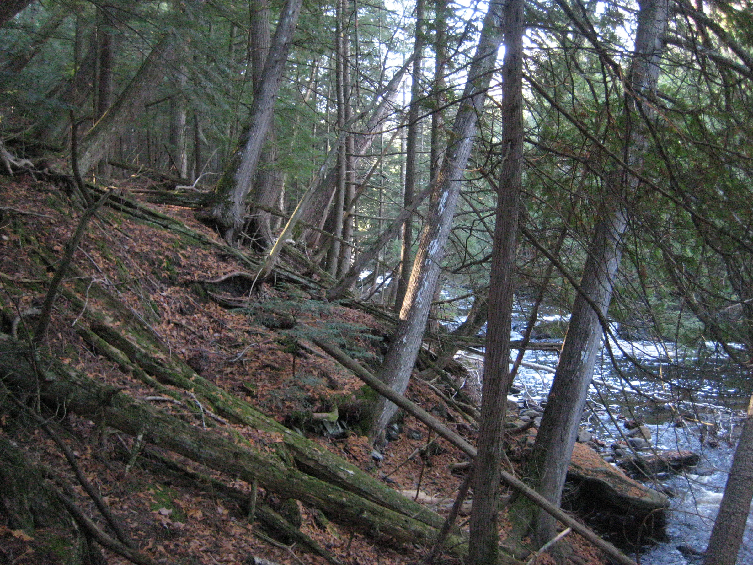
We headed over to the river together. As soon as Katie saw the steep bank, though, she bailed; our definition of an 'easy' hike tends to differ a lot and she was not up for the steep descent over slick leaves. I ventured down quickly to the riverside, catching a few quick glimpses of the river before we turned back.
- heavy rain
By my estimation there were three groups of drops, the lower straight steps, the middle sharp turn, and the smaller ones near Gomanche Creek. The lower falls were a set of blocky drops surrounded by cedars, and while they were very scenic it was hard to spend much time here with the heavy rain. At the middle set the river is shoved hard against rocks to the west and is forced north.


Comments
2 comments
Thanks for the good directions Jacob-we went there today! Quite a hike down the steep slope but what a reward!
It is a steep slope, isn't it! Great to hear you were able to find them :)
Leave a comment