
Wylie Dam Falls
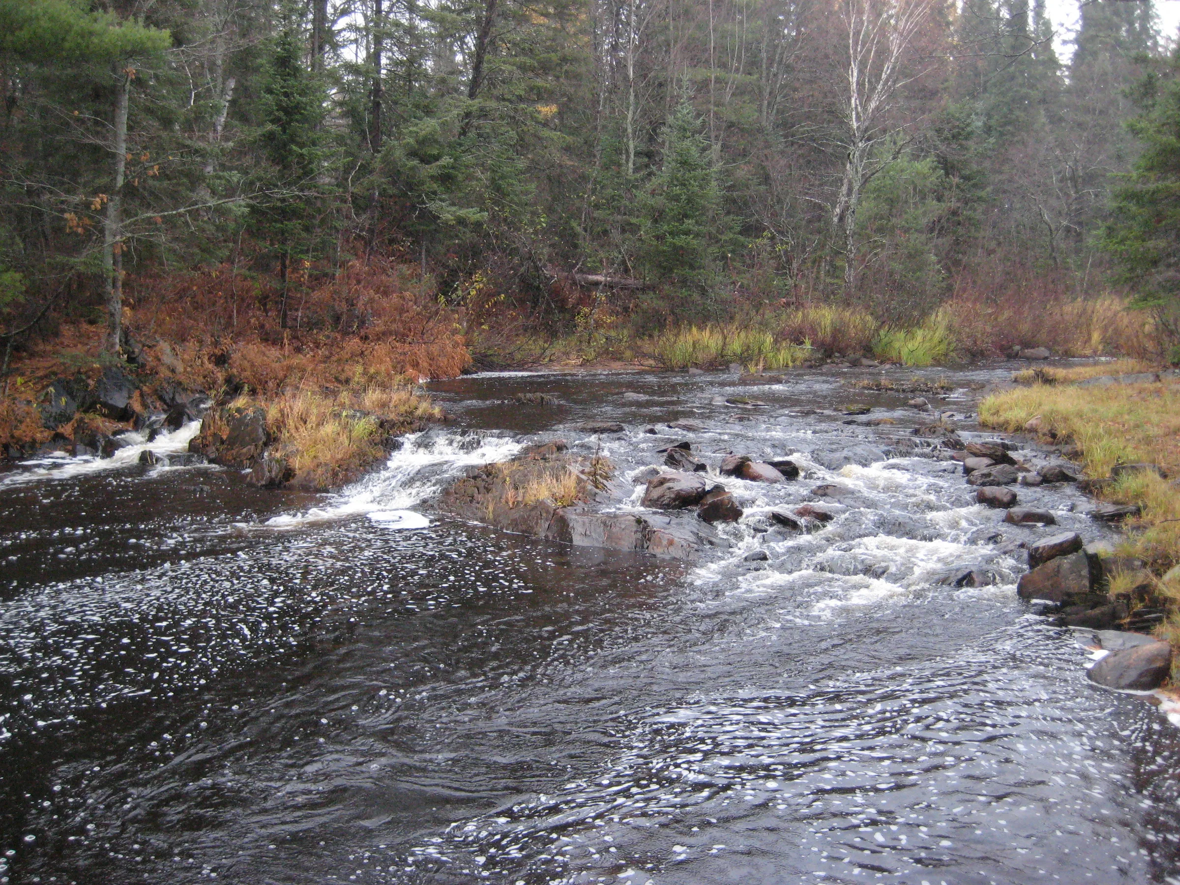
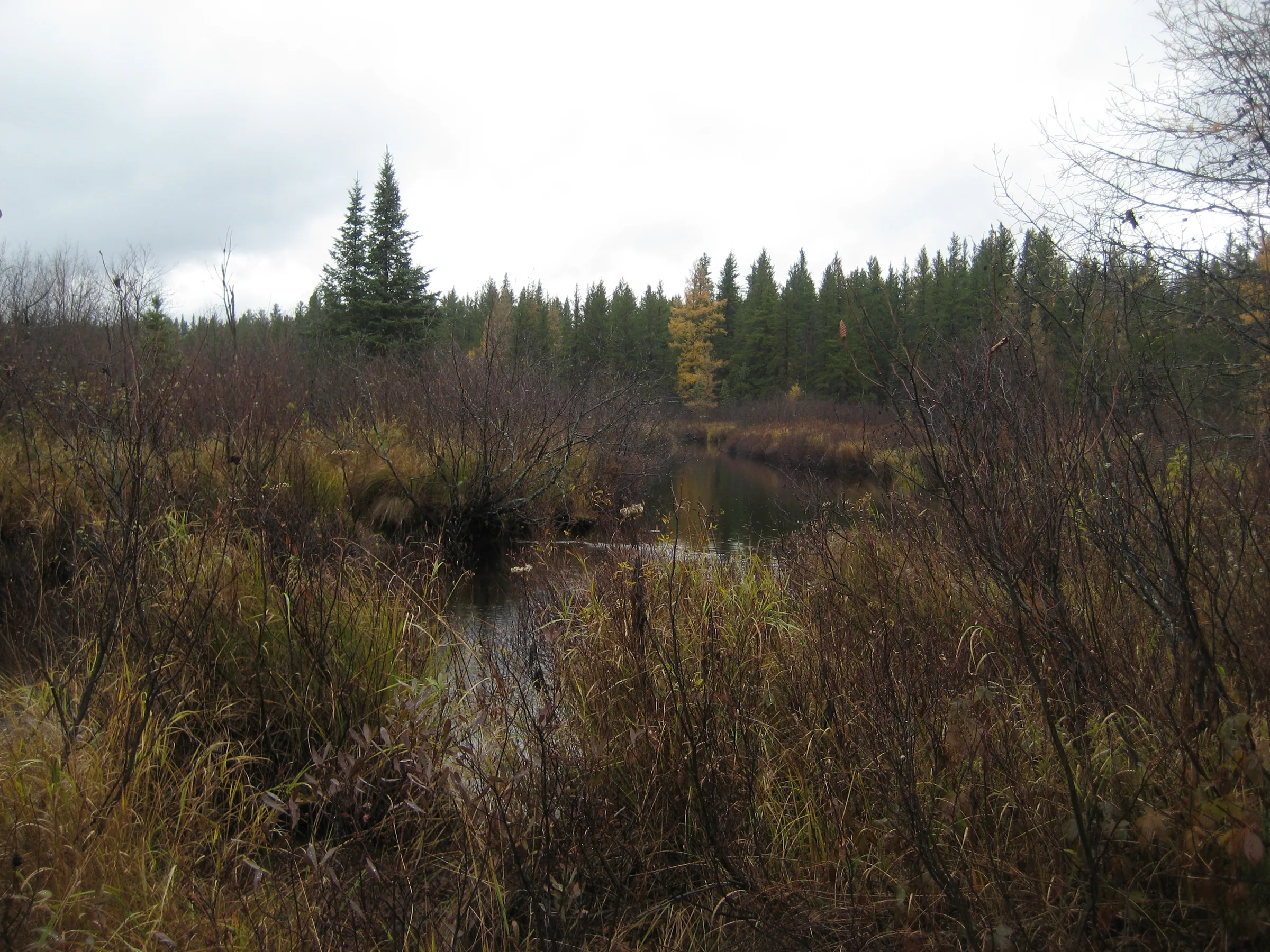
Wylie Dam may have once been the site of a seasonal logging dam, plugging up an expansive upstream swamp, but today all that’s left here is some short earthen banks and a humble rapids over rocks. Even though the waterfall may be tiny it does mark a significant change on the Yellow Dog River, leaving the swamps and starting a deep gorge that includes Pinnacle Falls. A few cabins on the northern bank of Wylie Dam Falls complicate access.
Directions
Starting at County Road 510 head west on the Triple A for 6.7 miles, slowly climbing up the sandy wooded plains until the road straightens like an arrow. Turn left at the next (main) two-track past the turn-off for Pinnacle Falls. This sandy road leads straight down to the Yellow Dog River by a USGS gauging system. Park and ford the river on foot.
Head up the road on the south side and turn right at the first sideroad. Follow this west while keeping close to the river. After a mile head off to the right, down to the Yellow Dog, and head upstream to the falls. The north bank makes an easier hike, though it has several cabins clustered along the banks.
Photographs
Visits
Seen in October.
There wasn't much here. The waterfall is maybe a foot tall, sliding over some rocky rapids. The remains of an earthen dam stretched to either side of the rocks but it was only a few feet tall; I'm not sure if that height would even be enough to create a decent logging rush of water. We were at the right spot, with a second nearby hunting cabin having a sign for 'Wylie Dam' over its door.


Leave a comment