
Big Falls
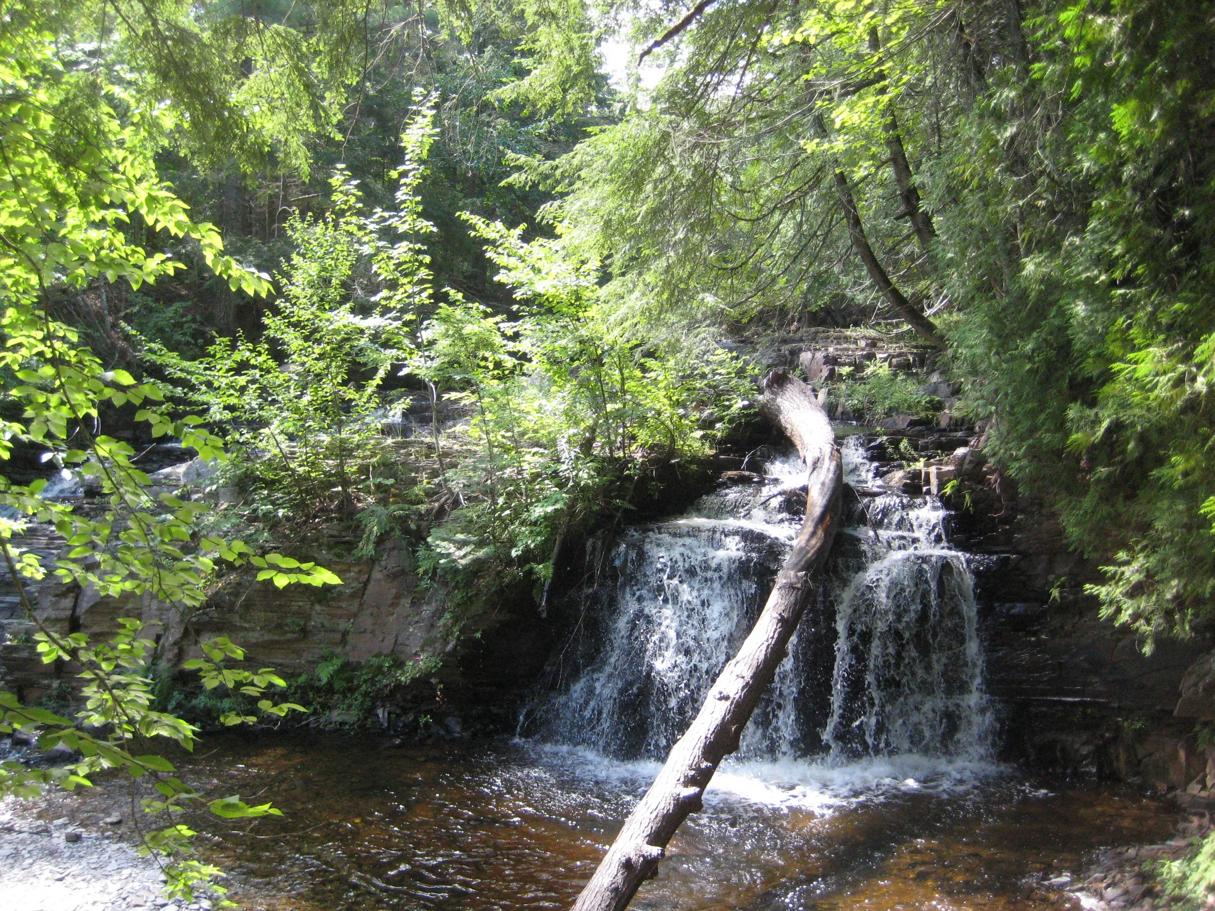
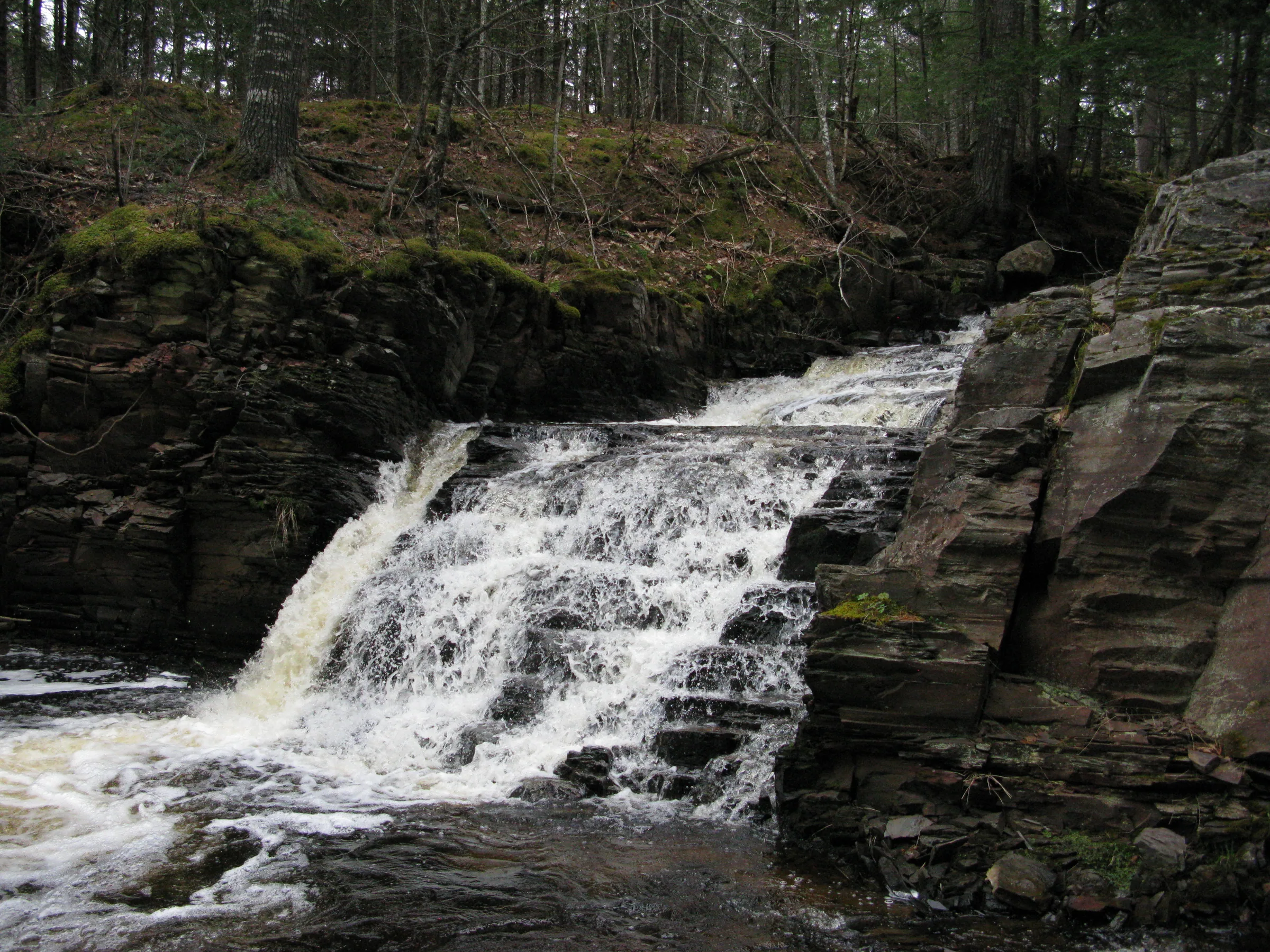
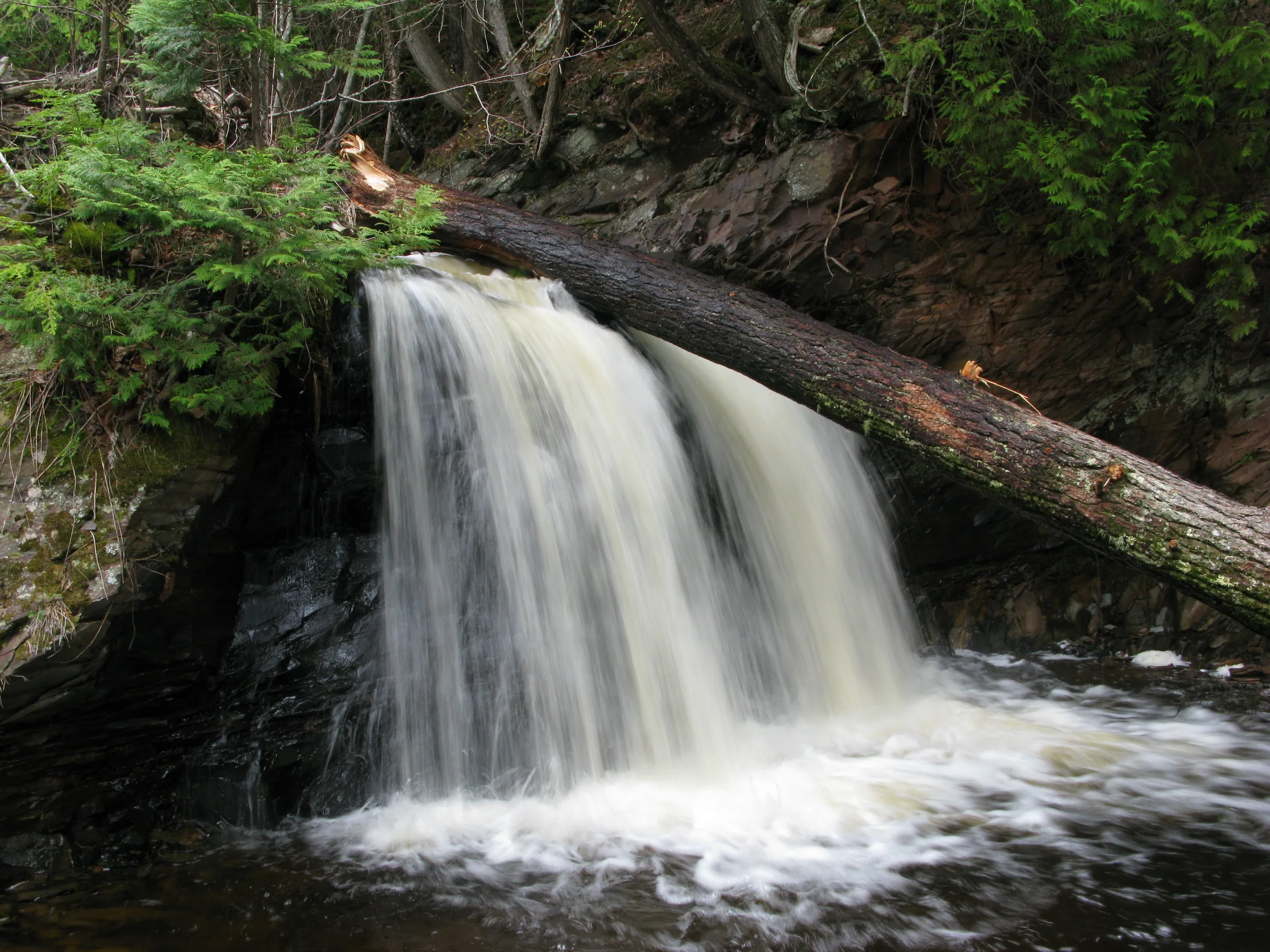
Remote and difficult to reach, Big Falls is a large split drop over tiered slate. The drops are about equal in size and flow (except during dry spells, when the left side dwindles down to a small chute) and are split by an outcropping large enough to support several small trees. Above the main waterfall are some short stepping drops crossing the river while downstream is mostly a calm, gravel-based river. Tall pines line the sides of the water and a steep western wall, with the access road on top, fences in the river.
Big Falls is the uppermost waterfall on East Branch Huron River, a few calm miles upstream of a jumbled slate gorge. While not as rugged as Slate River or the West Branch’s waterway, this gorge still holds a number of waterfalls including East Branch Falls, which exits the gorge on the north end.
Directions
Two possible routes lead in, one involving some tough roads and the other a tough hike.
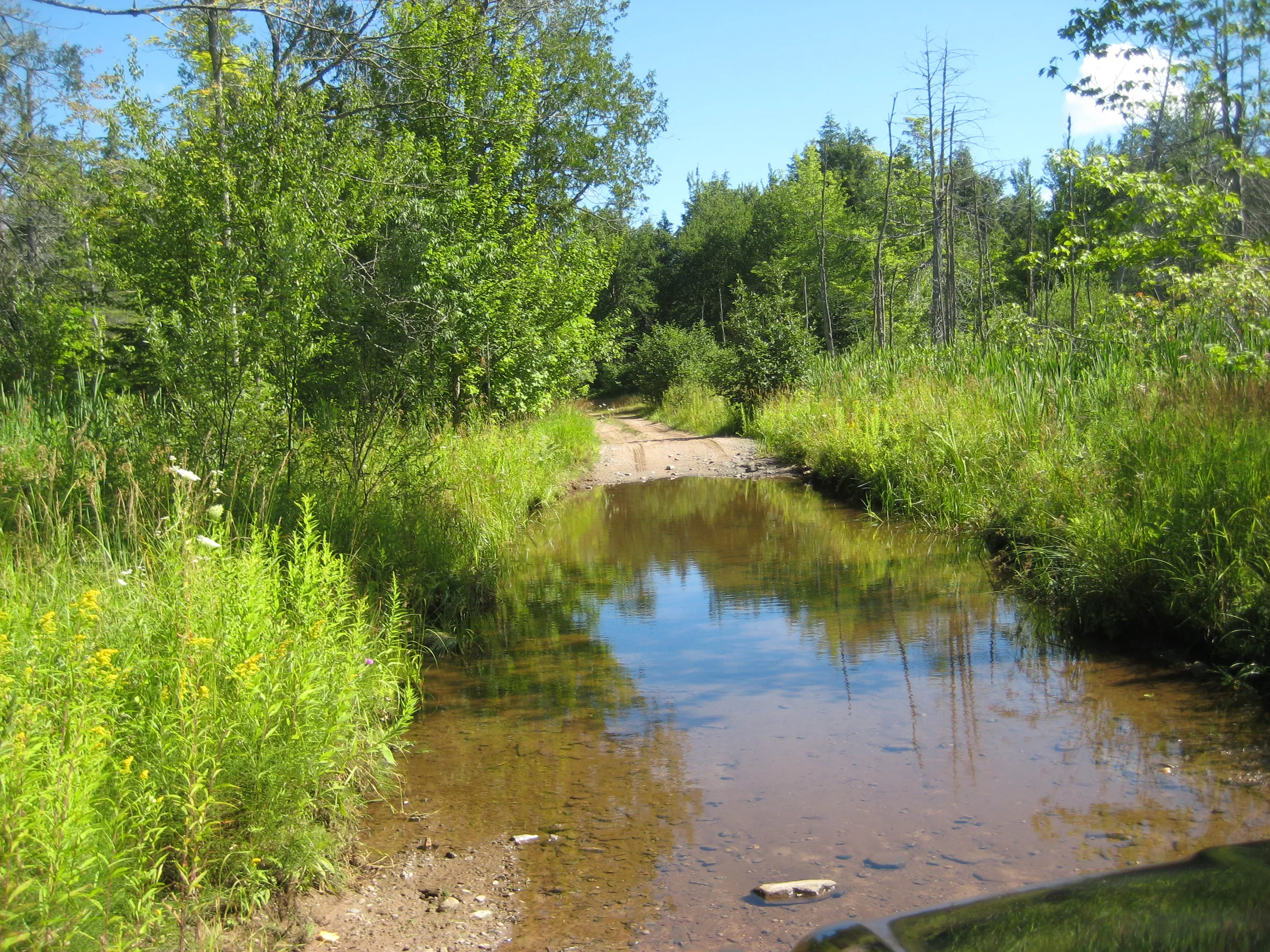
Tough roads: head down Black Creek Road, turning down the two-track that is 1.7 miles south of Skanee Road. The first obstacle involves crossing West Branch Huron River on a shallow gravel ford (a seasonal route, of course). After driving through the river continue straight (not turning right up the steep hill) to the swampy area, which will take you through a very deep puddle that will swallow up most small cars. After passing the puddle turn right, following the swamp for a bit. Stick to the main road which takes you east for a while before turning south. 1.4 miles after the turning at the swamp there will be some spots for parking alongside the road under huge trees. Stop here and head downhill on the trail to the falls.
Tough hike: continue down Skanee Road, passing Big Erick’s Bridge, and follow Erick’s Road to the third creek (coincidentally about 1.7 miles past Big Erick’s). Park here and follow the creek downstream until it meets East Branch Huron River. Follow the river upstream past East Branch Huron River Falls, the multiple drops in the gorge, and the flat sandy plain above the gorge to Big Falls. Total hike is about 2 miles over rough, yet beautiful, terrain.
Photographs

Visits
Seen in March and August.
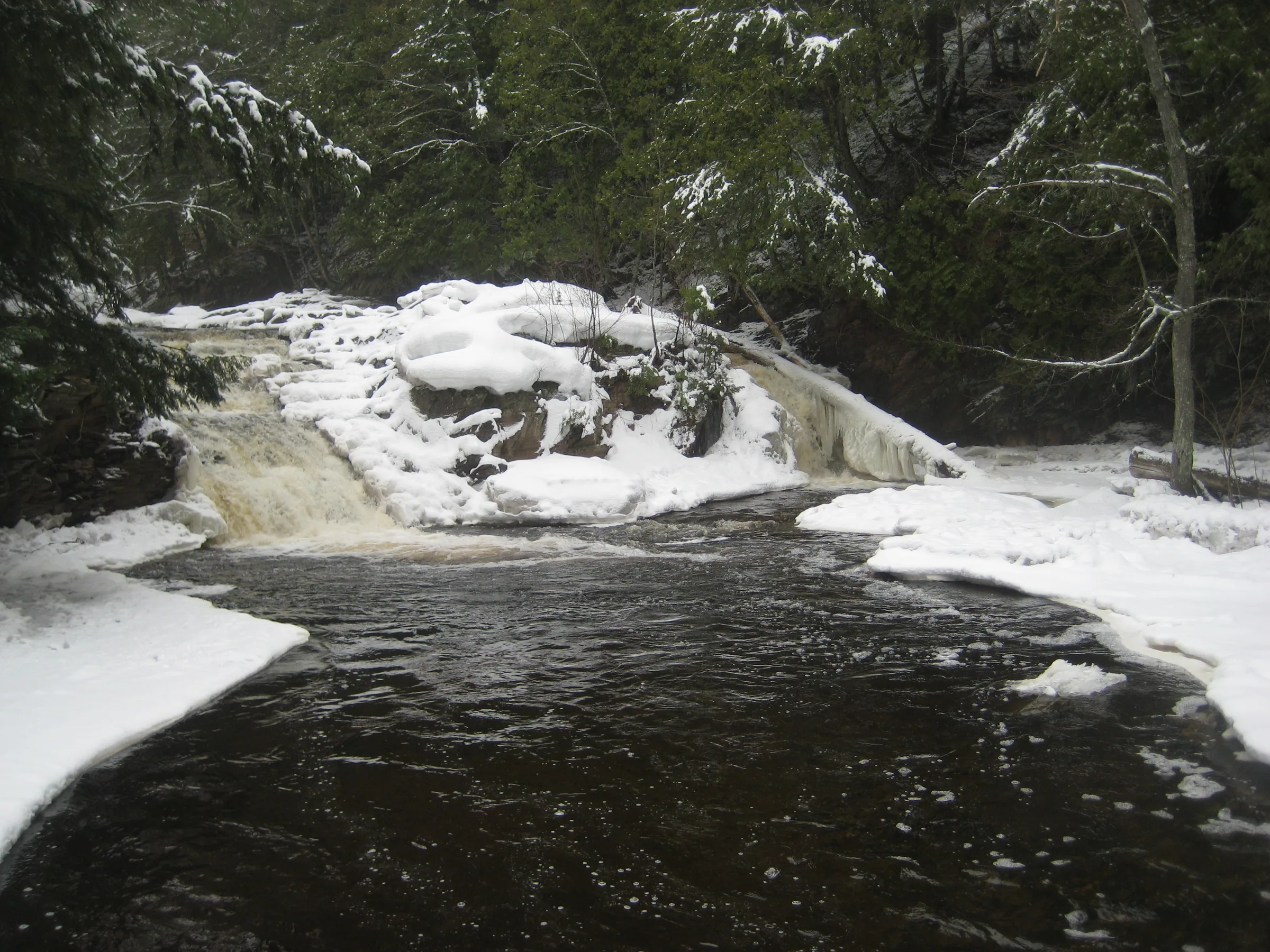
- plenty of snow and ice piled on the drop
There was plenty of snow and ice on this drop as well, piled on the rocks around it, and the roaring waters made an interesting white-on-white scene surrounded by dark waters and a steep western bank. I convinced Faith that it was worth climbing the falls. Maybe, just maybe, there were more drops above. There wasn't. All we found above Big Falls was stepping rapids and a thick red pine forest.
Less than halfway down the steep hill and I could recognize the tall drop and log perched on the rocks. We had found Big Falls. To get here I had to cut down an unmarked two-track, ford West Branch Huron River, and then plow through a massive mud puddle near a swamp.


Comments
5 comments
This one looks cool, I think you should take me here.
Hi Jacob! If you don't want to make that hike-go down Erick's road till you come to the trail to the right-there is a tire on the tree-it has been there for over 30 years! Turn right and follow the main trail (loggers have done some rearranging) and you will come to the pines and the trail curves to the right-the river is on the left and is a high bank here. Follow the trail as far as your vehicle will allow-until the trail ends. There will be a sign saying there is a private camp here-the camp is a pile of tin and has been disbanded for many years. There is also a tree farm here but the camp is on the opposite side of the river-continue a short distance and you will hear the waterfall-you can walk out into the river after going down the short hill. Thanks for all your directions! Nancy
Thanks Nancy! Would love to try this approach sometime - always been curious of that land up above the eastern bank.
Hi Nancy wondered if these directions from 2015 were still accurate. I've been there a number of years ago fording the river but wanted to try your way. If you could possibly comment ad let me know if the are still good.
Thank you
Currently, logging in the area has resulted in a temporary bridge being put in over the West Branch Huron River. The bad news is that roads area more chewed up and new logging roads cause confusion. I have always wondered, is it possible to park somewhere on this road to access the big group of falls on the East Branch by hiking a few hundred yards east thru the woods rather than the long hike in from the northeast?
Leave a comment