Back from a long weekend in Wisconsin and I was more than ready for a good waterfall adventure. My attention was starting to drift north to Keweenaw County. I had been up there a few times already this spring, quick visits to Quincy and Douglass Houghton Falls, and spent most of the time wading in thigh-deep snow both times. Perhaps the last couple of warm weeks had freed up the woods and was pouring extra water down the small creeks.
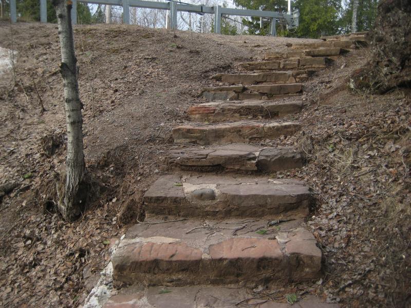
Logan and I headed north early in the morning and arrived in Copper Harbor less than fifteen minutes after the sun did. I turned down 2nd Street and wasn't surprised to see that the road plows ventured less than a half mile out of town before turning around. We parked within sight of Lake Fanny Hooe and followed pairs of well-worn tracks south up the hill and into the woods.
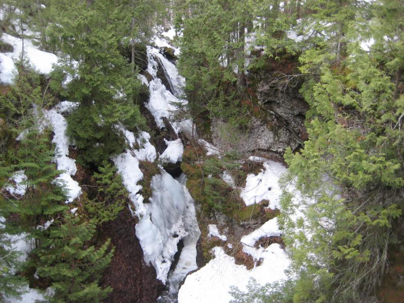
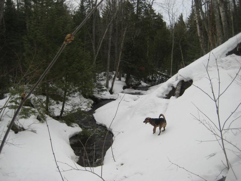
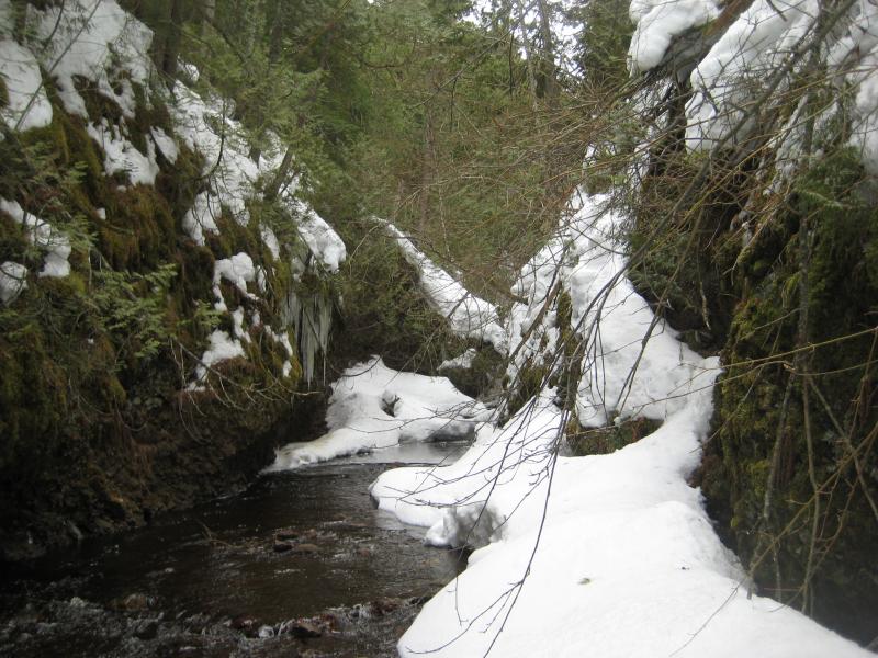
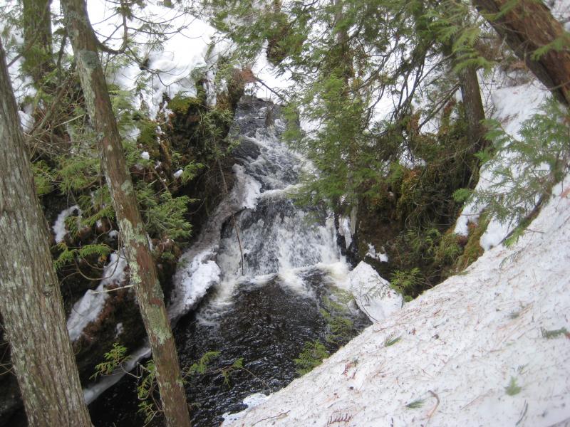
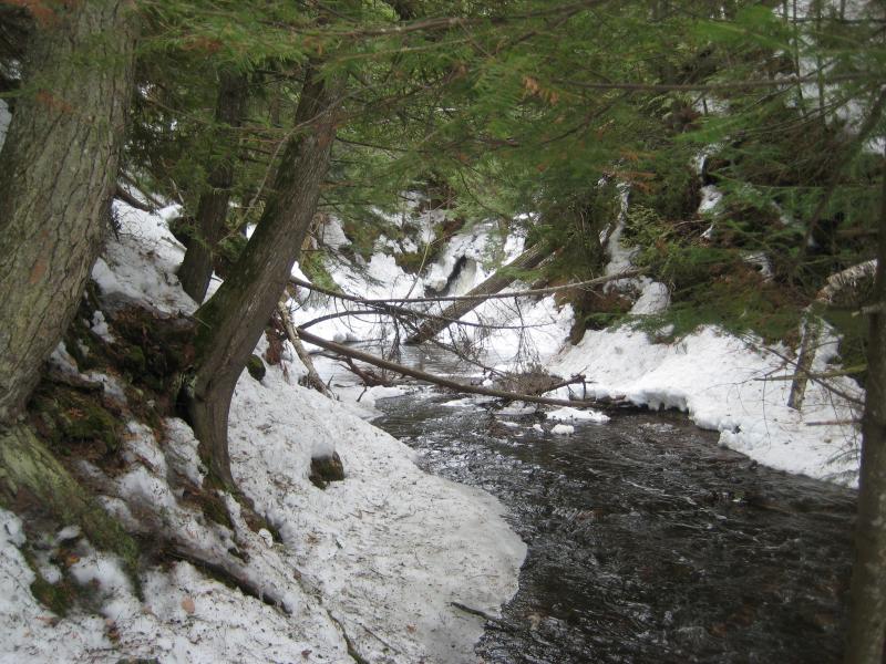
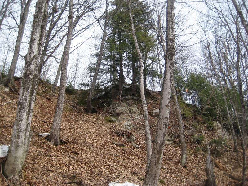
I had been to Manganese Falls several times already. The waterfall is nestled in a deep gorge with two overlooks giving limited views down. There is no good angle to see the actual waterfall, just the the crest and gorge below. So I decided to take a more ambitious route. When a little path showed up on the side of the road I led Logan down it, eventually finding the wooden bridge over our creek. We'd be following the creek up, inside the gorge, in order to get our view of the falls.
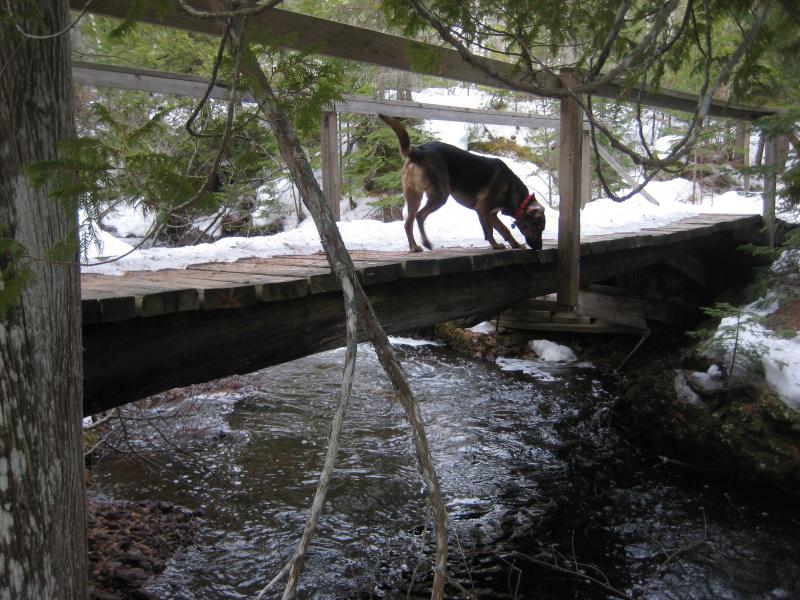
Logan checking out the foot bridge
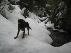
While both of us looked at the narrow creek and rocky banks with some concern I was fairly determined on this route. The sides of the creek were made of conglomerate rock, slick and treacherous, with snow and ice masking what was and wasn't safe to walk on. And the creek was full of icy water waiting for us to slip in. We crept on all fours (which was easier for Logan than me) along the cold waters and eventually made it to a partial view of the waterfall.
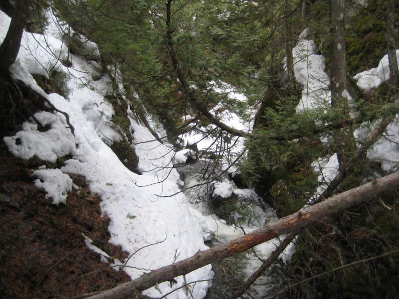
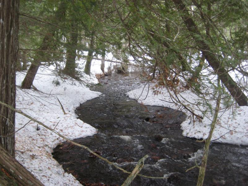
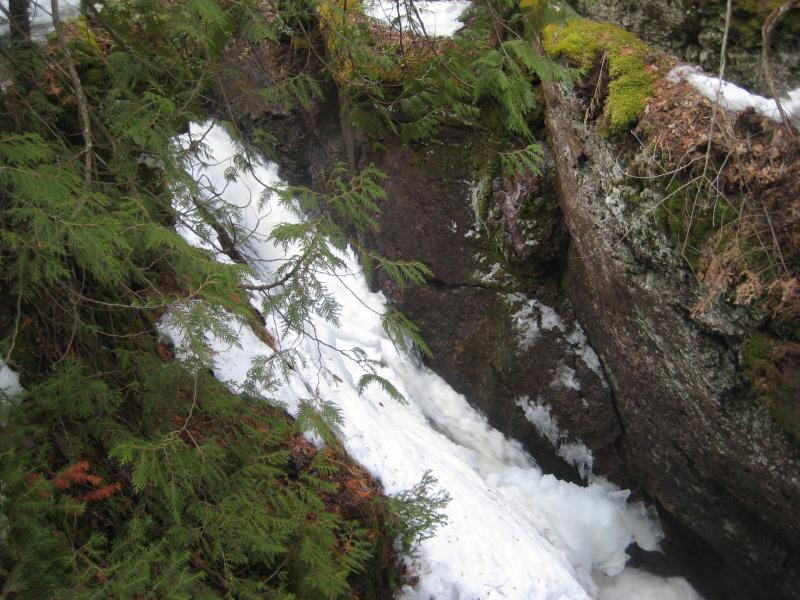
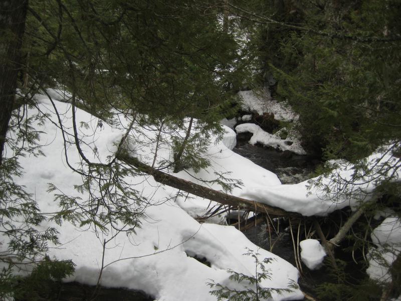
Clutter blocking the little gorge
Even from inside the gorge a view was hard to get. I couldn't walk up the other side of the creek, as the eastern bank was an actual overhang for most of the length, and the waterfall itself pours down from one side. The roar and hidden view of white beyind overhanging cedar branches would have to suffice for today. We crept up the side of the gorge, slowly and carefully, and made it out of the gorge muddy and wet.
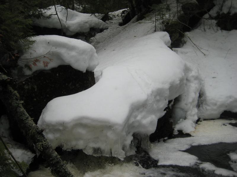
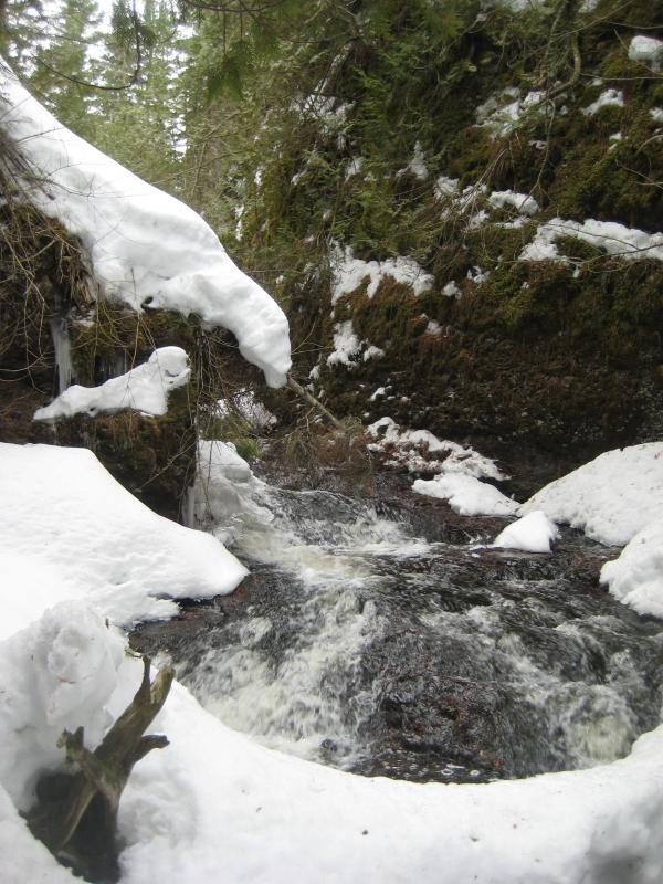
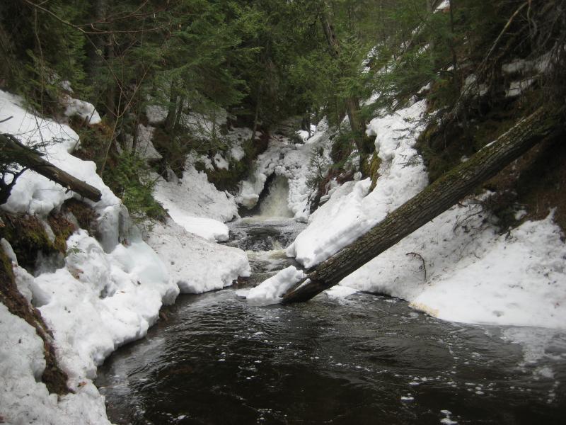
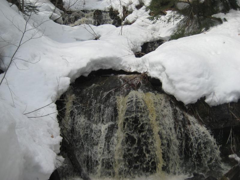
Now stuck on the eastern bank, on the wrong side as the road and my car, we ventured upstream in hopes of fording above the waterfall. Plus, I was curious if there were any upper drops above the main one. There wasn't much, only a few foot-high rolls up by the culvert. We skipped over the rocks at the crest of the drop and came back for the traditional view from the viewing areas.
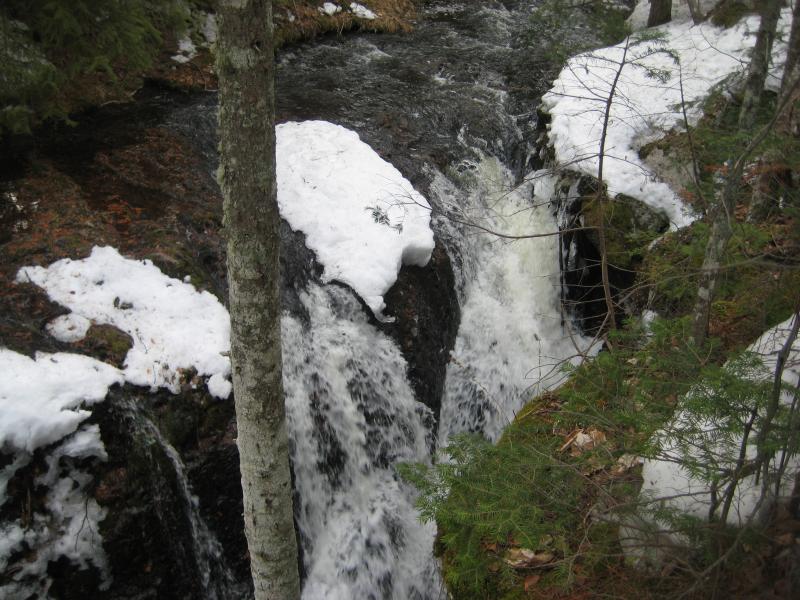
Overflowing crest of the falls
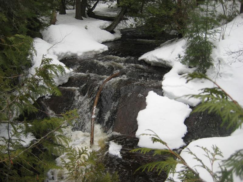
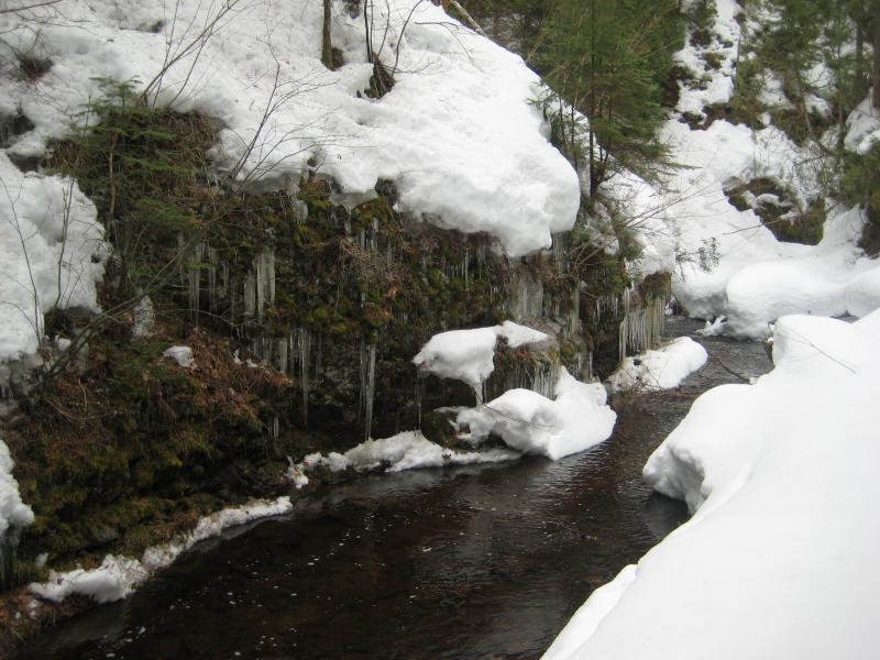
Rock wall blocking the view of the main falls
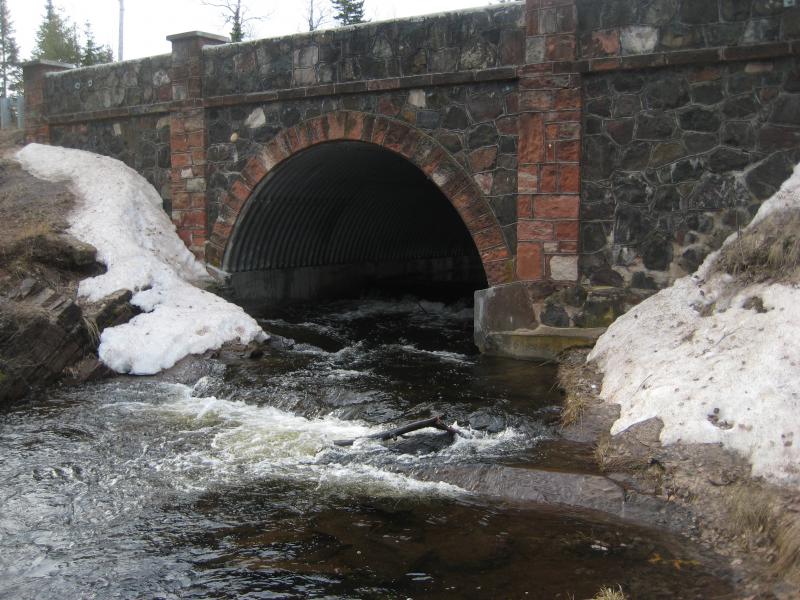
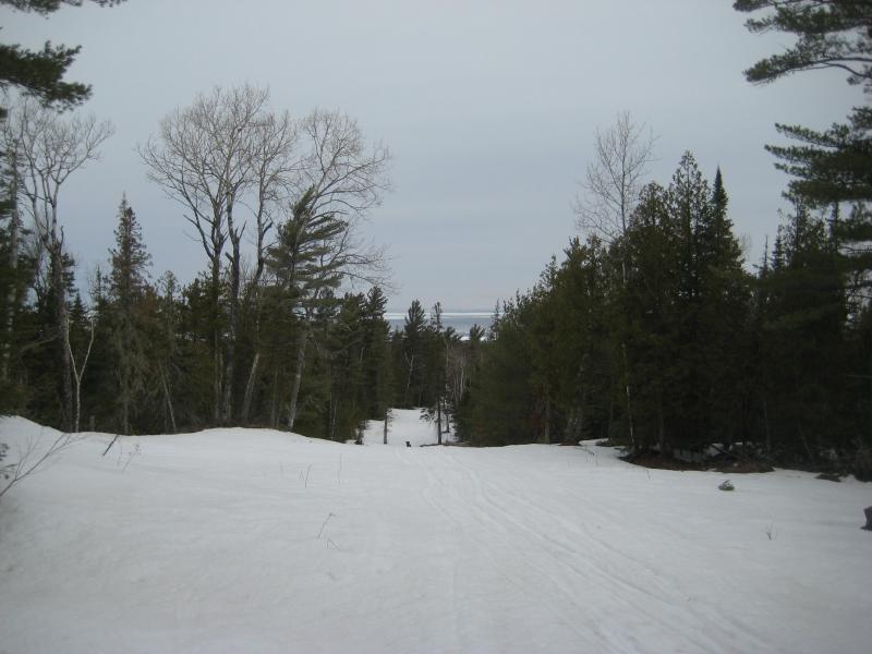
Feeling a bit defeated we headed back down the hill, pausing briefly for a quick outlook over Lake Superior to the north. The combination of the steep rocky cliffs and ice had really limited how much of this creek I could visit. Our next planned stop, Silver River, was also locked in a little rocky gorge. But I didn't have time to waste. We would head out to Silver River and tackle the upstream path, even if it meant wet boots and carrying Logan across the cold waters.
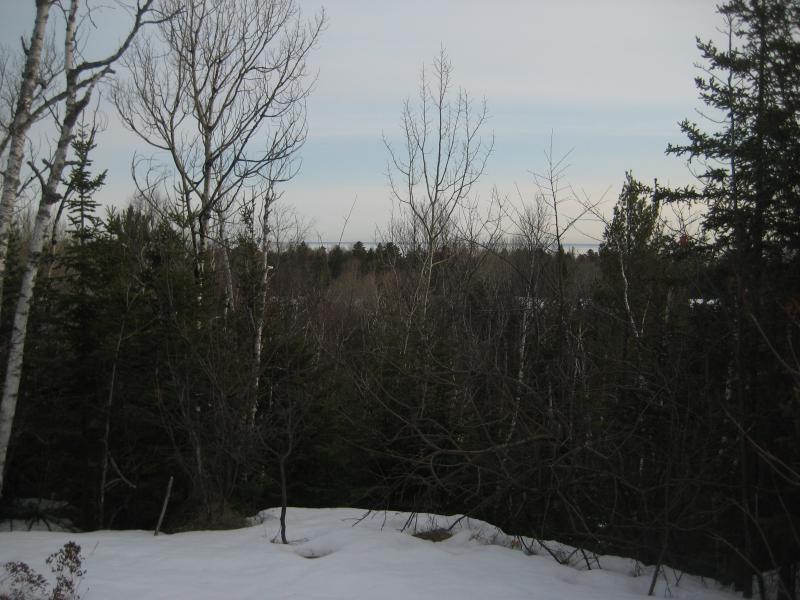
Looking north over Lake Superior and Copper Harbor
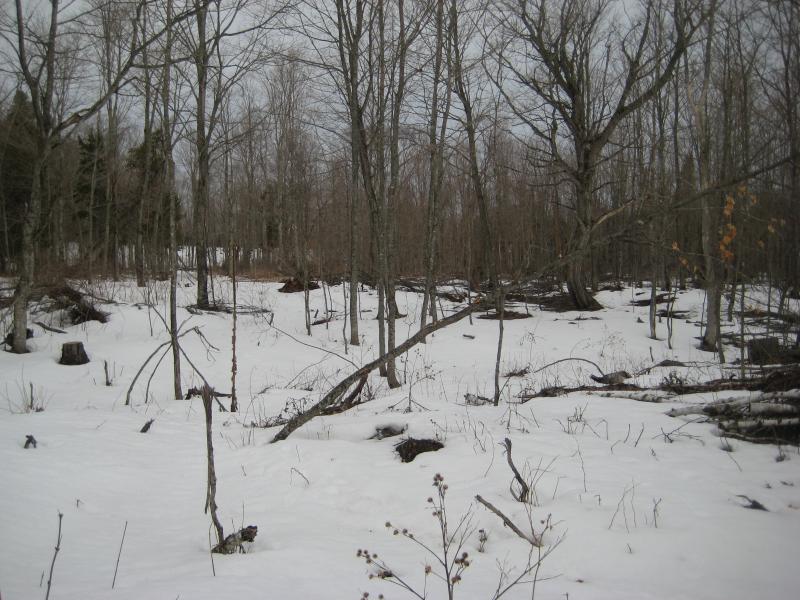
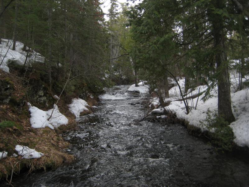
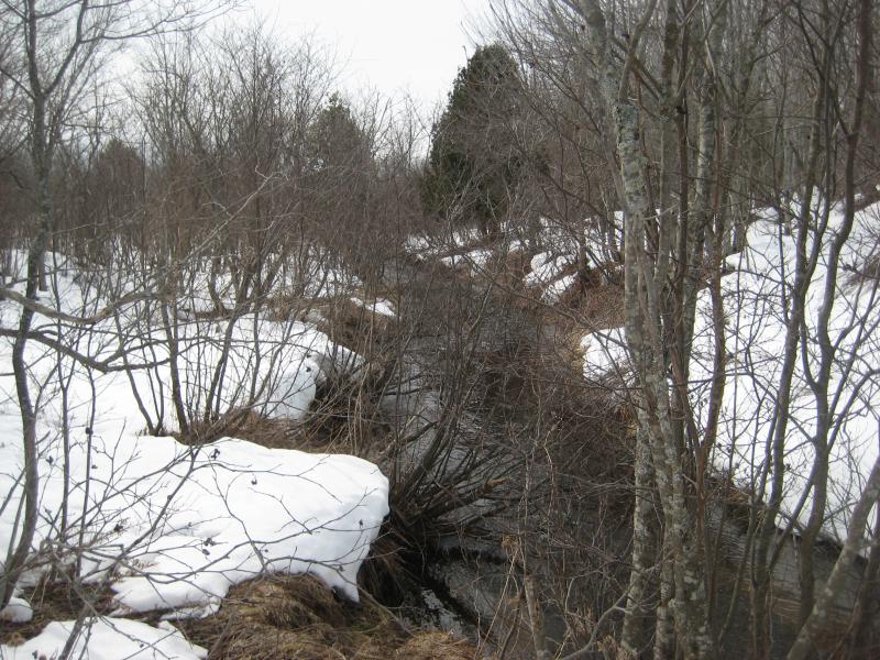
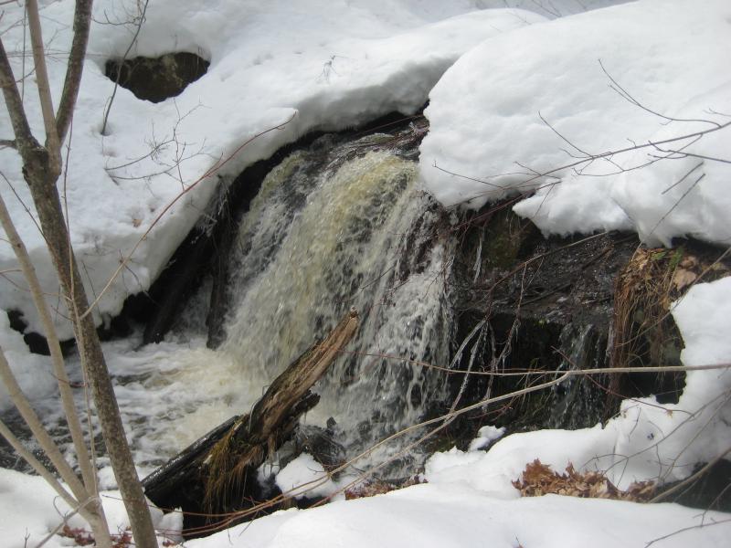
The main waterfalls of Silver River were easy enough to visit. Much of the open banks were already free of snow and easy enough to walk along and the river itself was wide and scenic. Even the lower falls, which had been completely covered in snow on my last visit back in January, was open and gushing. I let myself get helpful about our upstream hike even when we crossed the road and entered a soggy, half-melted forest.
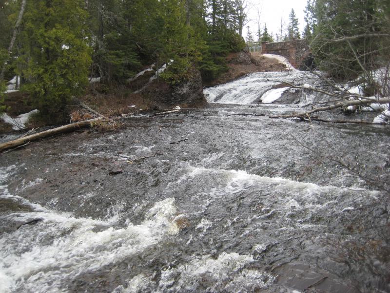
Cascading upper falls
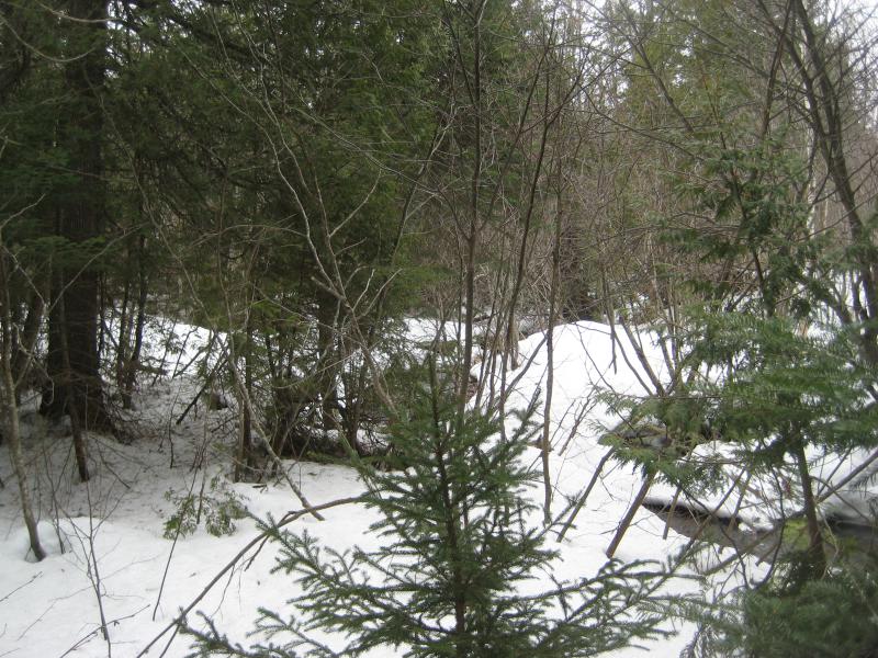
Half-thawed snow in the forest
Upstream of Silver River Falls and the river quickly forks, with a small tributary leading east to Lake Upson and the main branch continuing south up into the Keweenaw Ridge. It splits again about a mile up, though by then the creek gets too swampy to easily tell where it flows and where it pools. This second leg, that mile, is where I suspected more waterfalls to be. The river drops over two hundred feet, much of it in the upstream half, and the Keweenaw Ridge is good for falls.
Logan and I headed through the forest on an angle, hoping to meet up with Silver River above the Upson Creek fork, when he shot past me with a sharp growl I've never heard out of him. I hurried after him and then braced myself. Wolves. Two of them, lean and scraggly, feeding on a deer carcass half-submerged in the river. Logan wasted no time rushing them and, with a tall human backing him up, the pair of wolves abandoned their meal.
At the time I was too worried about my dog's safety to even think of hauling out my camera, though I did regret it later. I saw a lone wolf last year while driving through the Yellow Dog Plains, and now this pair out while hiking. Two of them aren't enough to pose a threat (to me). I should have gotten a picture. I led Logan away from the dead deer and we started our hike upstream, though he was on alert for the next twenty minutes in case they showed back up.
Logan still on ground
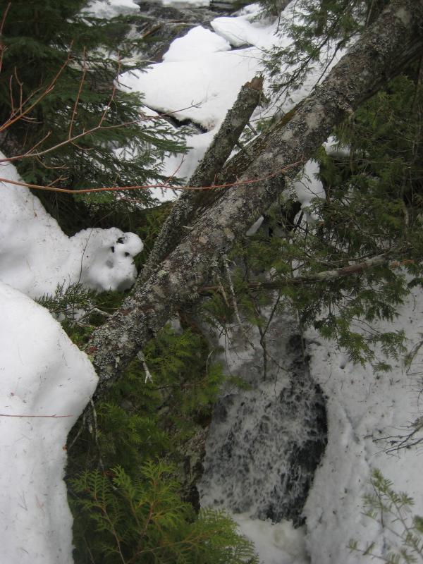
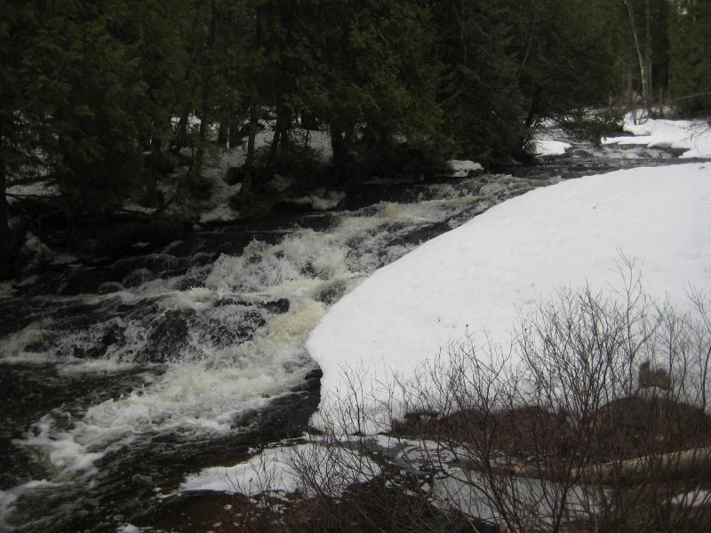
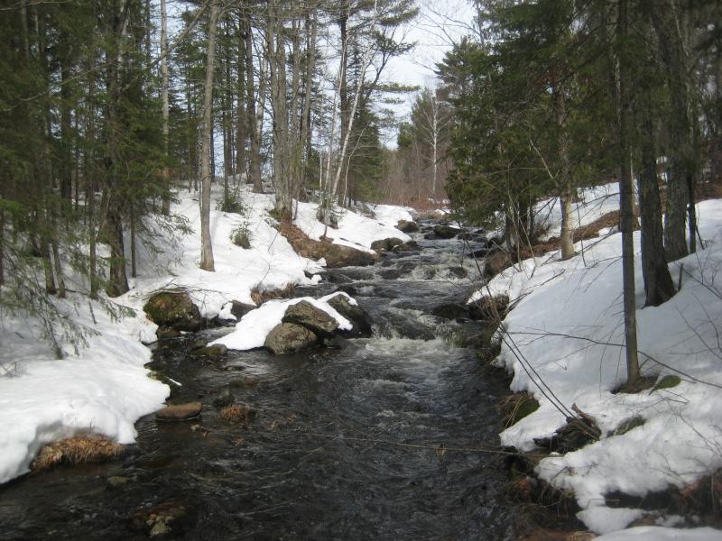
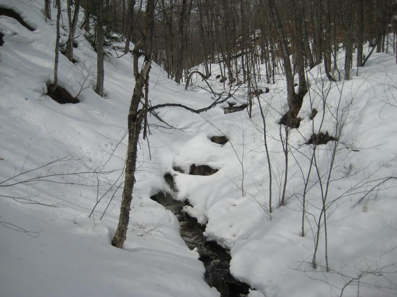
The river ran wide and shallow between snow banks as we headed upstream. The land around us began to climb, and the snow around the river, until soon a few drifts completely hid the river below us. I had assumed that we were far enough into spring to be done with hide-and-seek games. When we bumped into the first drop we could only hear it gurgling loudly under a large plume of white.
Narrow, rocky river
Deep snow and ice over a drop
Gentle rolls between snowy banks
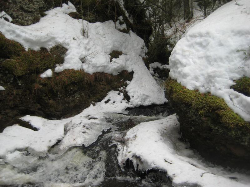
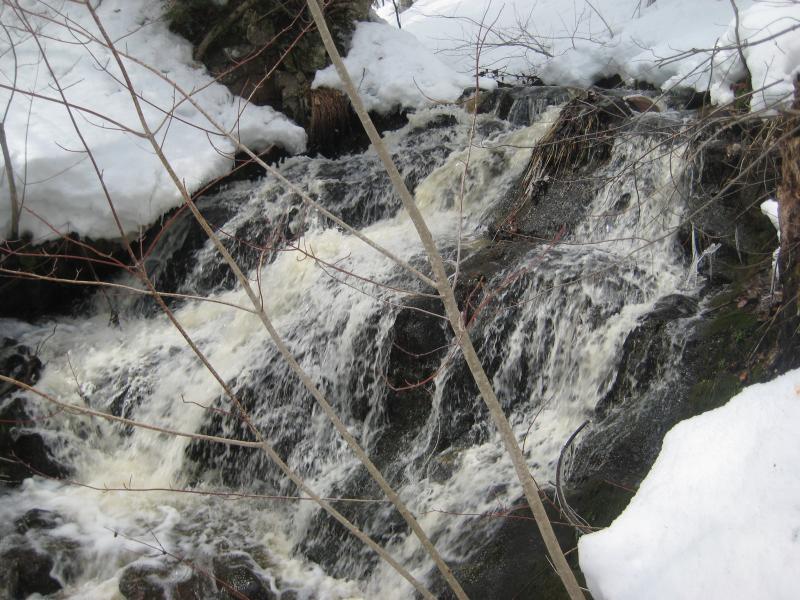
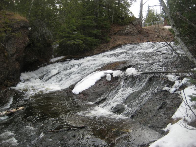
Above this drop there were more visible ones, though, so we continued up. The visible drops were gentle rolls over dark rock that looked more basalt than conglomerate, which seemed odd to me. Well, I had assumed that the rest of this river would be flowing over conglomerate. Guess there's some geolgoy that I need to polish up on.
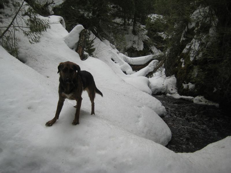
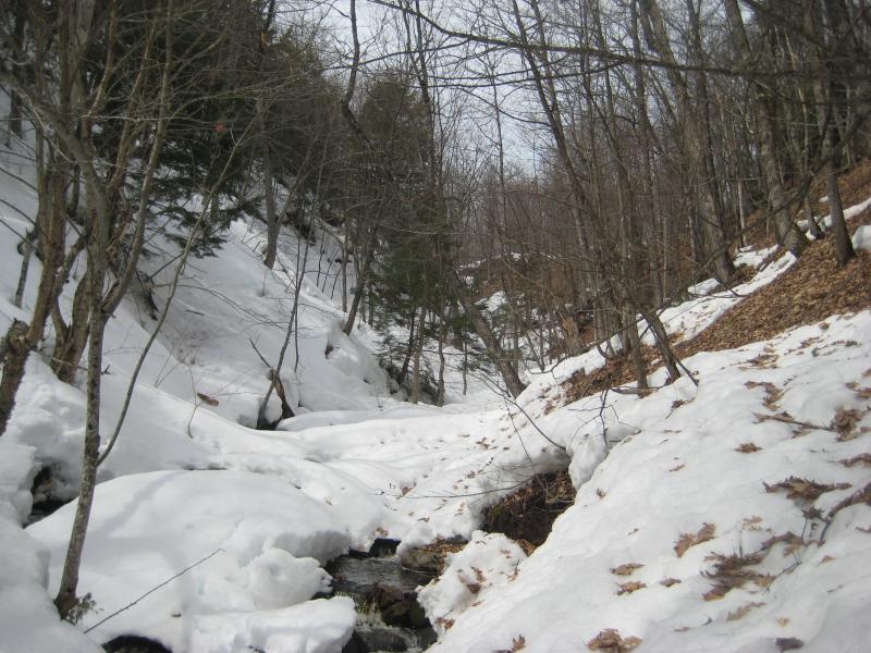
We ducked under cedar and crept over wet snow next to the river, always careful about breaking through into a deep pool or into harsh jagged rock. It didn't take long for the river to change, though. High walls of rounded rocks rose up around us, taking the place of the cedar banks, and the river calmed down and drifted along over a shallow bed. It was shallow enough for Logan and I to simply walk on without getting too soaked. We headed into the narrow gorge with a health amount of awe of our sharp passage.
Steep narrow gorge
Slides within the conglomerate gorge
Logan braving the icy branks
There were a few spots when the snow piled up on the banks that we ventured onto. Unlike the slush in the forest before this was almost as hard as ice, probably kept cool by the icy waters, with just enough crunch for us to strike a path across. We continued up and kept our eyes open for more drops.
An impassable little chute far upstream
When it showed up, though, it brought along some difficulties. A deep pool sat below it, effectively blocking our approach, and the narrow chute was too steep and icy for us to climb. Our path up the river was done. We were almost at Farlow Creek by now anyways. I led us up and out over the western bank, climbing up mud and hard snow along a dangerous slope. Before we completely lost sight of the river below I glanced down one last time to find another pretty little drop, one that would involve some serious wading to reach below, and then we were out of the gorge.
Overview of the snowy uppermost drops
Circling up and around the swamps near Farlow Creek was no fun, especially because we could hear the water gurgle and ice crack under our snowy passage, but when we made it to the far side it was worth it. There was an old logging road that led down the east side of Silver River all the way across Upson Creek. The road was packed and the views over Lake Superior was nice, yet the best thing was the steady downhill walk all the way back to the car.
Wet, cold, and a little tired, I drove us west along M-26 and thought about our options. Manganese and the upper drops of Silver River were the two main destinations I had in mind for today. We could always visit more and catch more of the Keweenaw's little creeks in spring melt. While I thought about our options I took us over to Silver Creek for a quick visit, only hiking along the snowy creek long enough to catch a partial view of the little drop before heading back out.
Snow covered drop
There was too much snow up here still, that was for sure. The creeks and rivers were still cloaked with snow and ice. Waterfalls on the south side of the Keweenaw Ridge, though, that faced the sun's heat all day may be thawed out some more. I drove us over to Copper City and parked near the old field. It was time to revisit Queen Anne's Falls.
Instead of following the old track around the field to the dump I cut off early to check out the upper part of Slaughterhouse Creek. If the creek wasn't running, if it still looked snowy and icy, I would probably just call it for the day. The creek was overflowing. Excited I headed downstream, knowing that the main waterfall was going to look spectacular.
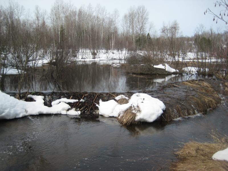
A wide beaver dam
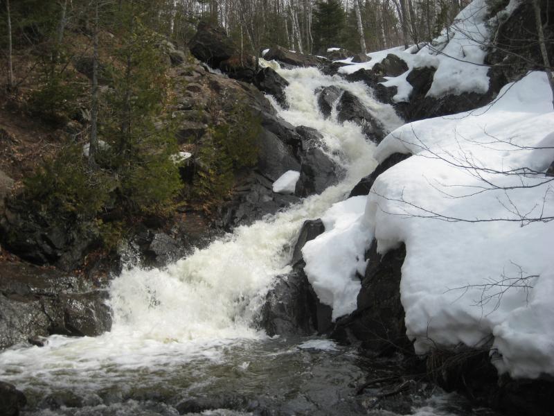
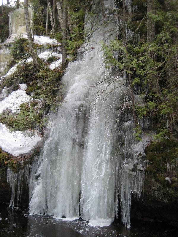
Beyond the swamp section of the creek things start to heat up, a short chain of rapids warning of the sudden drop ahead. I could hear the roar ahead. I pushed on, Logan picking up pace with me, and we turned about at the top of the falls. The crest of the waterfalls reminded me of just how jagged the rocks next to Queen Anne's Falls was, and there was still a lot of snow along the river. I'd have to be careful how I dropped down here.
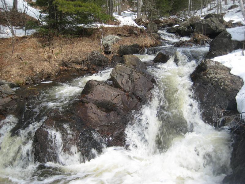
The crest of the rocky falls
I looped far to the east, heading back up into the woods, before easing down the river banks. It was tedious and annoying, testing the depth of the snow before easing forward, but I wasn't ready to break a leg by dropping through soft slush onto the jagged outcroppings below. When I reached the base of the falls I looked up and wonder. The cool mist raised by the roar rushed forward at me and coated my glasses. This, this was worth it.
Snowy banks around Queen Annes Falls
Climbing back up the bank was easier, now with a path to trust, and we headed out the usual way through the fields and orchard. If we were wet before, we were soaked now. My jeans clung to my legs with a tight and icy grip and Logan's fur clumped in a very unbecoming fashion. There was still one more easy stop we could make, though.
I drove us Valley Road and over on Angman. Over the course of this winter I had been scoping out a possible waterfall along an unnamed creek by St Louis Hill, though the deep snow had done a good job masking the location and confusing my guesses. We parked near the old railroad grade and headed in. When the grade led over the deep creek valley and we were perched right above the snowy creek Logan remembered exactly what to do. He bounded down in huge leaps, plowing through snow and brush, and I lumbered after him with hops and skips. The snow was deep enough to cushion us if we fell.
When we reached the bottom I happily noted that the little creek was actually flowing. The water wasn't deep and it was heavily tinted, but it was flowing. We headed upstream, a quick glance up at the old car wreck perched up on the northern bank, making our way to the suspected waterfalls.
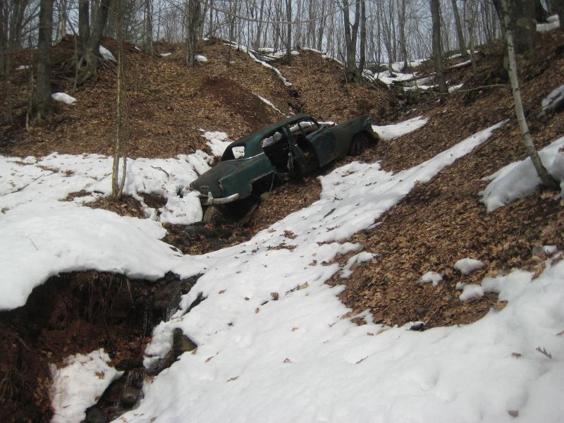
Looking up at the car wreck
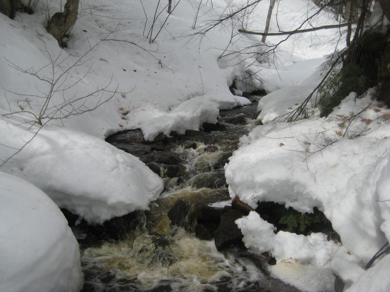
Flowing water between snowy banks
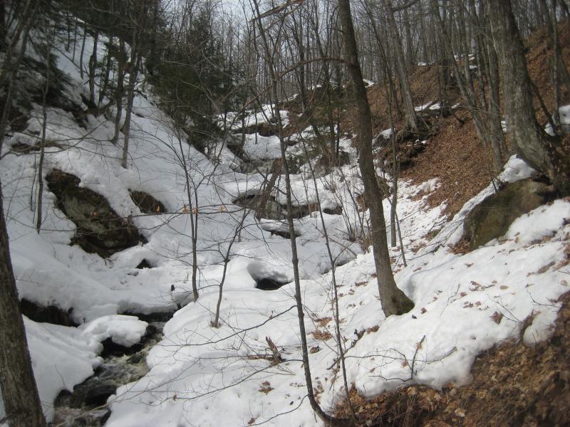
The little creek zig-zags enough to hide views to far up. I thought I could hear a waterfall ahead, or at least hoped, as we continued up. This was my third visit to this little creek already - I really didn't want to find minor rapids along it. We turned a bend and the saw two small waterfalls ahead under a shining sun. Jackpot.
Waterfalls far ahead
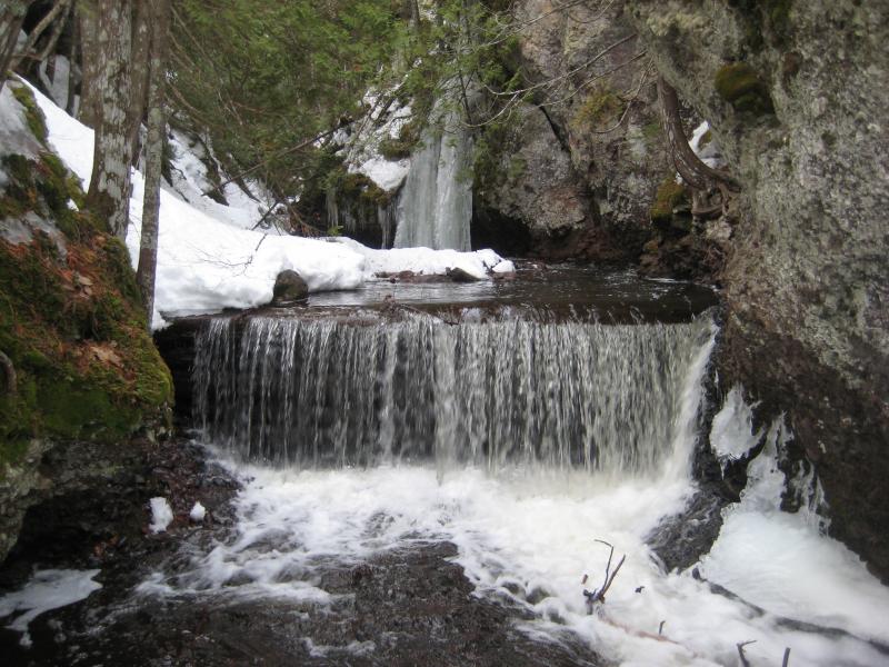
Both drops were still wearing thick mantles of snow around their tops and sides with just enough of their face showing to confirm that they were actual waterfalls. The bottom one was a plunging dome over rugged rocks that shot random little spurts out here and there. About ten yards upstream was a more stepped drop that frothed down a four foot drop. I wasn't too concerned with the size. There were waterfalls here, two of them, on St Louis Hill.
Stained water poking out of the snow
Side view of the upper drop
There was nothing to see upstream, just more snowy and the little creek poking out here and there, so I turned and headed up the northern bank. It was mostly bare mud and grass and was much easier to climb than the snowy southern bank. Plus there were no houses up it, a mistake I made on a previous climb. Logan and I followed a track back to the railroad grade and I drove us back home to Houghton. It was time for some dry clothes and some warm food.

Comments (0)