Work on Monday is never fun and this one seemed worse than usual. After a full day of addressing concerns, patching issues, and procrastinating on projects I bolted out of the office and made a beeline back to the house. Logan and I hopped in the car and soared through town, driving into the sunset as if we would never turn around or look back.
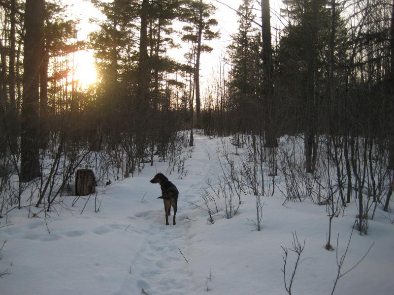
I didn't get too far. Less than an hour southwest of Houghton is the tiny town of Toivola on the shores of Lake Roland and Gerald (Twin Lakes). The Misery River drains the two lakes down a few hundred feet to Lake Superior at Misery Bay. Most of this river is a sluggish thing clogged up by tag alders with the exception of a small waterfall just outside of town. I parked next to the Wyandotte Golf Course in a rounded clearing where the plows turn around and we headed into the snow to find this waterfall.
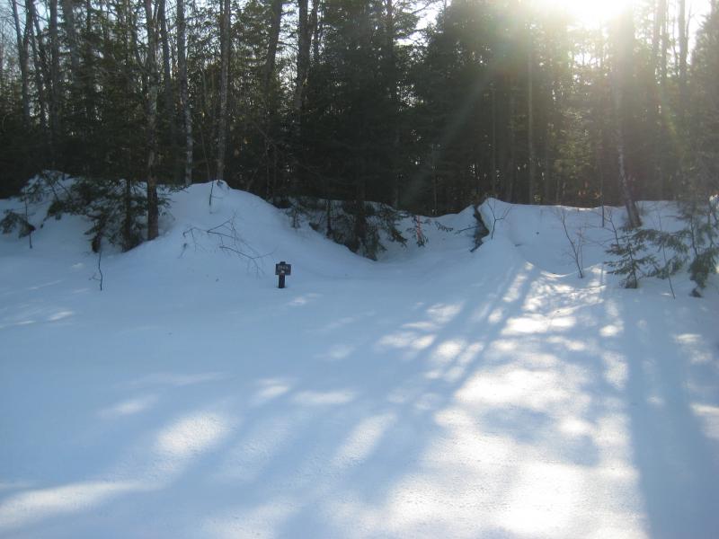
Evening sun over the trailhead
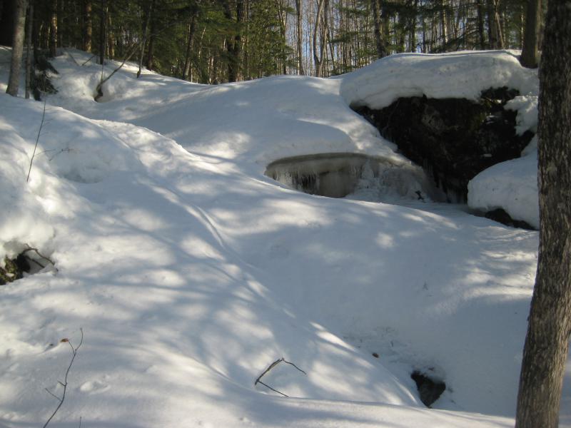
There is a small trail that leads back to Wyandotte Falls, though there were no tracks leading back on it this deep into winter. I was surprised to see the trail on my first visit. For much of the year the small waterfall barely runs, more a trickle than anything else. And today it was nothing. Just mounds of snow and a bit of ice poking out. I marked the location and followed my footprints back out. Maybe the spring melt would be more impressive.
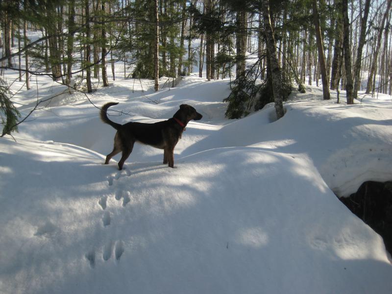
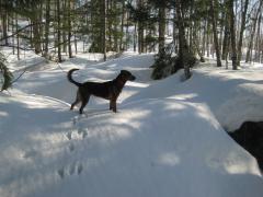
An alert waterfall hunter
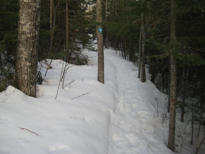
I still had a good two hours of daylight left in the sky. We headed further south, past Toivola and Rockland, pulling into the snowy parking lot at O Kun de Kun Falls. This spot gets a lot more traffic through the winter, thanks to the North Country Trail running through and wide paths for snowshoers to pat down. Logan and I jumped up and headed down the access road, easily staying above the packed crust as we walked through bare trees.
This was my second visit here in the winter. The first was with Katie back in November, before the GPS, and that had been after a large snowstorm. The trees had been caked in fresh snow and everything was fluffy and beautiful on that visit. Today everything was bare and brown. Winter was dragging along this year, a few melts stopped by cold snaps, and the forest felt ready for spring. Logan and I made quick time down the tracks and didn't stop much for photos.
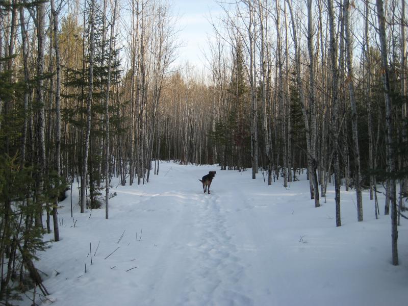
Eager hiker darting ahead
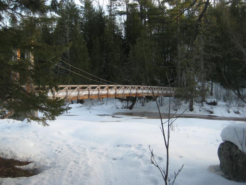
There was no one out at the falls today, no campers or winter hikers lingering about. We had the whole area to ourselves. I cut first to the suspension bridge to cross to the other bank, as the river looked a bit soft and slushy to attempt walking over. It was a difficult way to go, with the snow piled almost up to the railings and melting away from the edges like a long mohawk. Logan didn't dare to follow me.
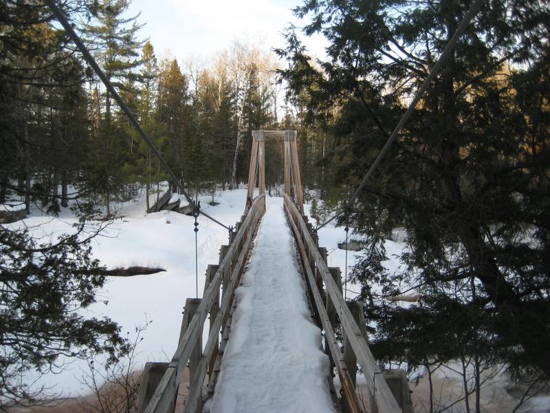
Deep snow back on the bridge
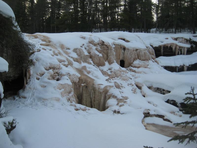
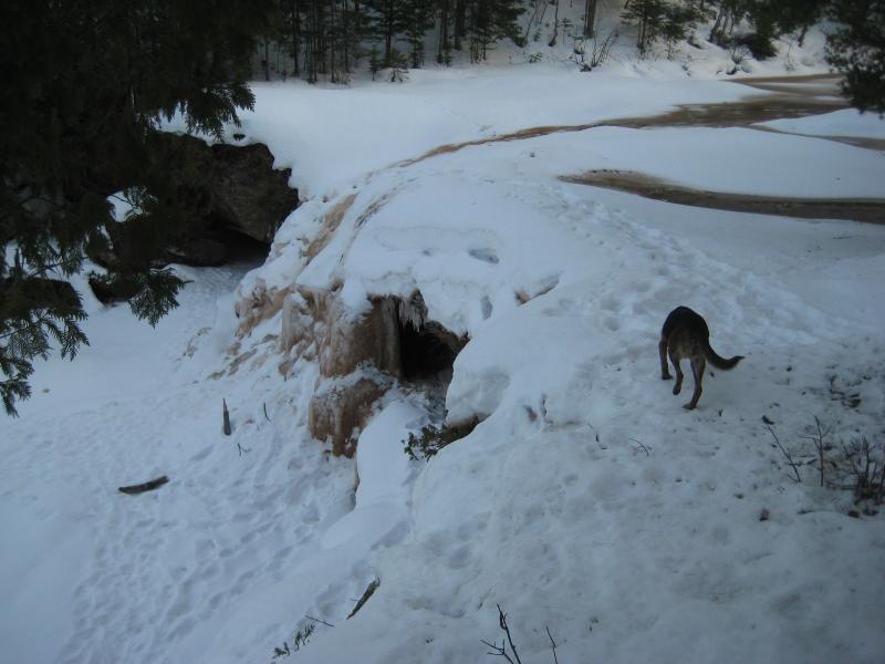
Muddy stacks of ice hiding the falls
As my dog yipped nervously from the south bank I ventured up to the muddy ice formations. O Kun de Kun Falls had been turned into a multi-layered cathedral of brown ice, topped with white snow like frosting. It was a cool sight. Underneath I could hear the water gurgling and trickling, though I couldn't see anything but snow and ice out here. After a few pictures I wandered back to the bridge to appease a worried Logan.
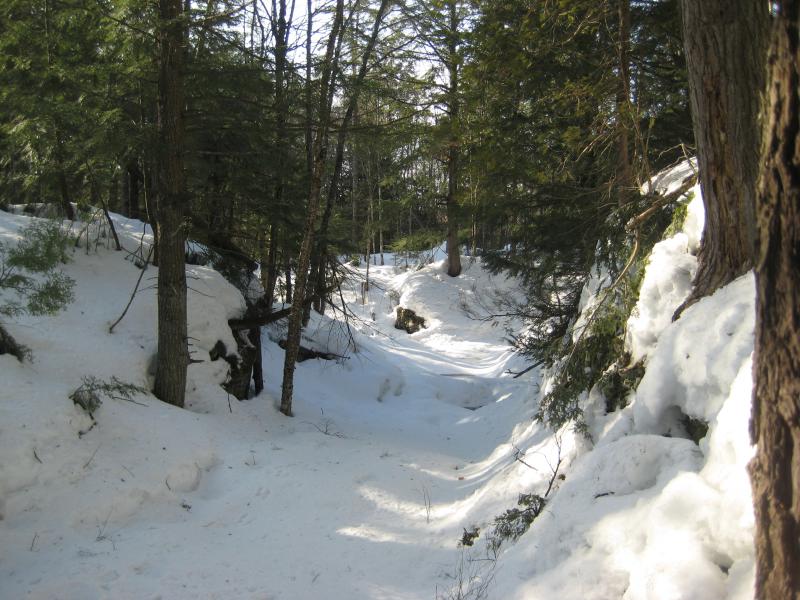
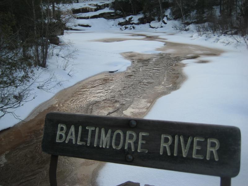
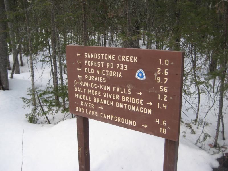
Visiting this section of the Baltimore River had little to do with these falls. I knew the coordinates and directions to here well enough. However, the upstream waterfall was a bit more elusive. It is located along the North Country Trail, where that path first meets the river, but the exact location was a bit difficult to pinpoint. We headed up the trail, again following a hard-packed path over the snow, and kept a close eye on the river for Konteko Falls.
Snow masked the upper waterfall. I ventured off trail briefly, getting close to where I guessed it was, and was rewarded with waist-deep snow and only an approximate coordinate. The sun was low by now, barely lighting up the western horizon. I returned to the trail and we made quick time back to the car.
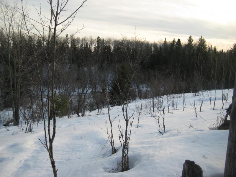
Open clearing over to the river
I was running out of waterfalls close to Houghton to visit now, especially with the increased drive and hike times that winter was giving me. By the time we got back on the road the sun was gone and we didn't make back to Houghton until well after dark. If spring continued to be postponed I'd be stuck doing hikes only on weekends soon.


Comments (0)