I had a small troop with me today as I headed down past L'Anse and Skanee. Faith and Mike were both interested in another adventure after our fun weekend down in Marquette two weeks ago. Emily, a friend of mine from the pre-college days, was in town and wanted to do some exploring as well. And of course there was Logan. The five of us drove over Big Erick's Bridge on our way to an epic, if overly ambitious, hike.
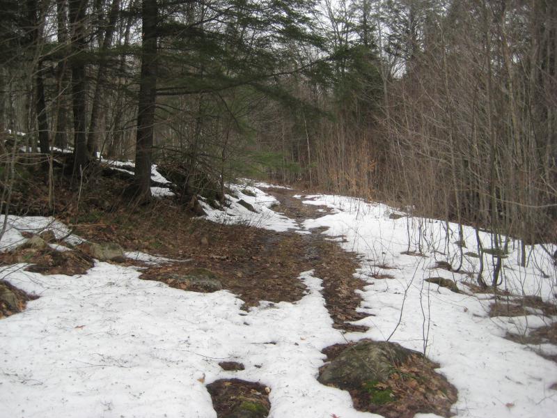
We parked about a mile east of Hubcap Corner on the Northwestern Road. I was thankful we made it that far. Most of the roads east of Big Erick's had been unplowed all winter, and even the well-traveled Erick's and Northwestern had been muddy and filled with holes on the way in. A large snowdrift across the road is what finally stopped us. There were a few deep tire tracks where hardier vehicles had plowed through but I didn't want to take any chances.
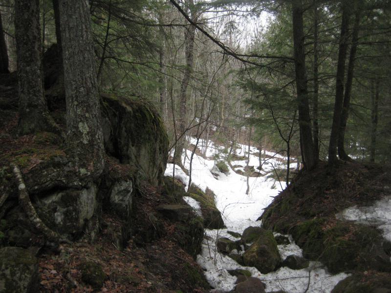
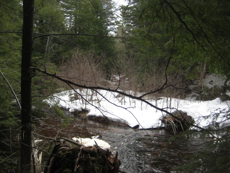
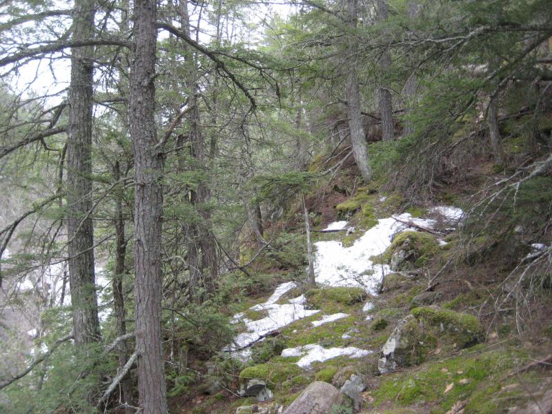
Walking along the road was easy enough anyways. We crossed small streams that flowed over the dirt track and past overfilled swamps. There wasn't much snow to see this low in elevation, only a few banks of snow here and there, and I hoped we wouldn't see much today. Our loop today was going to be a hard six or seven miles through deep woods as it was.
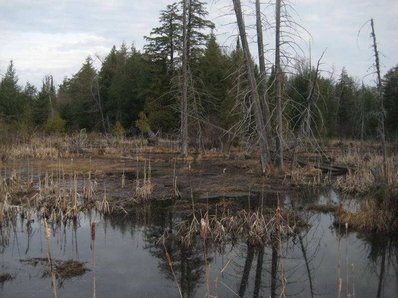
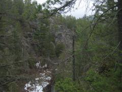
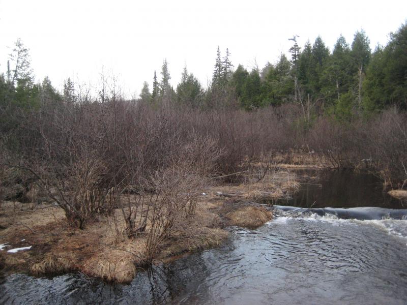
Ugly looking swamps off of the Northwestern
My plan was fairly simple. I wanted to follow Cedar Creek downstream and hook west along Cliff River and follow that back upstream. Along the way we would see Cedar Falls, Turkey Neck Falls, Cliff Falls, and maybe even a glimpse of Mountain Lake. A good chunk of the loop was within Huron Mountain Club property. I didn't think they would care about a few harmless hikers this early in the year.
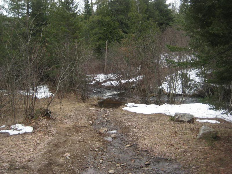
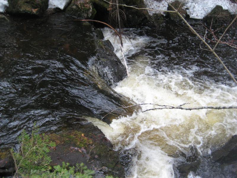
When we reached Cedar Creek I led our group across the questionable wooden bridge and to the far track. I remembered this track from my last visit here. It was a muddy and rugged path better fit for ATVs than vehicles, and it was slick enough to make walking difficult too. A few dozen yards along it and we cut off to the creek. There was a decent sized waterfall rushing nearby to check out, anyways.
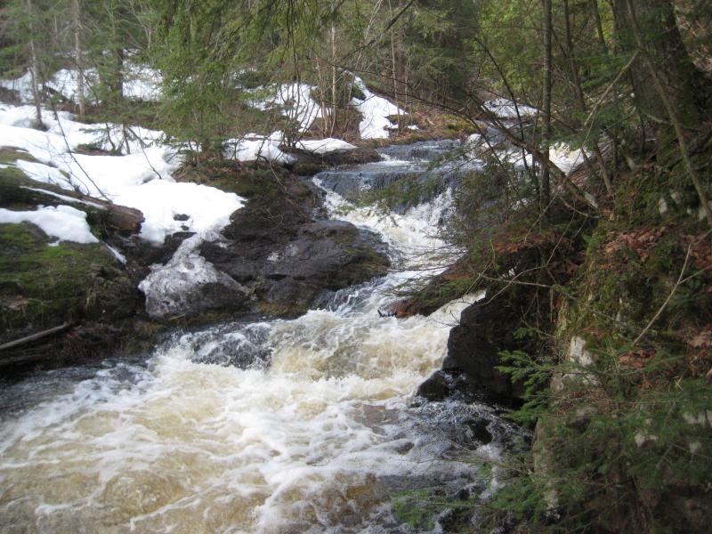
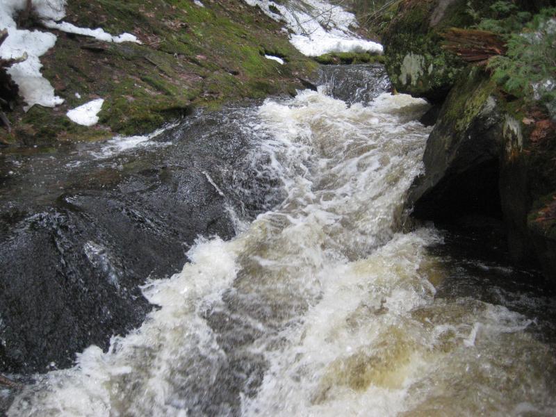
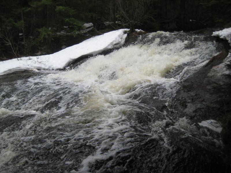
Foaming small chute
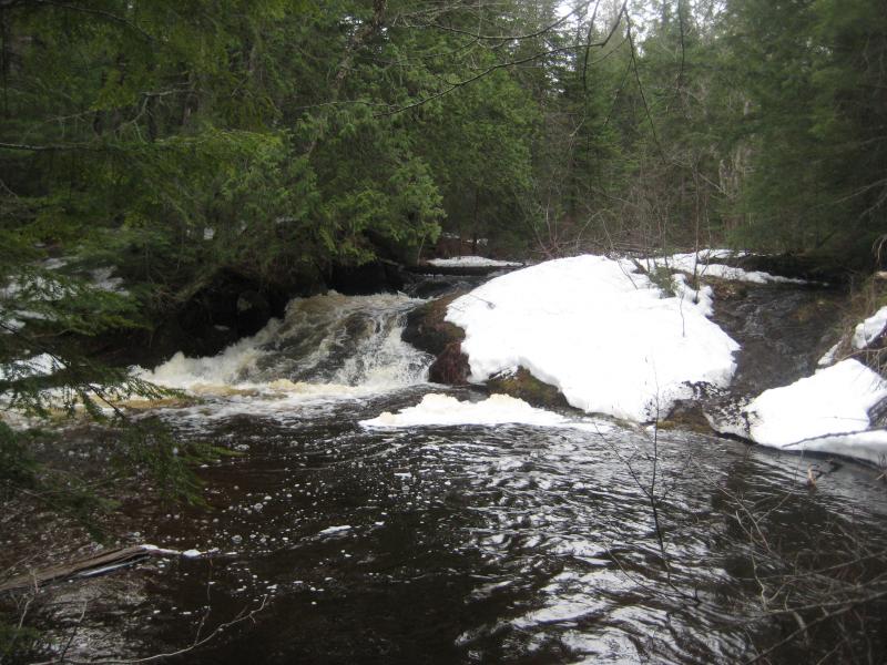
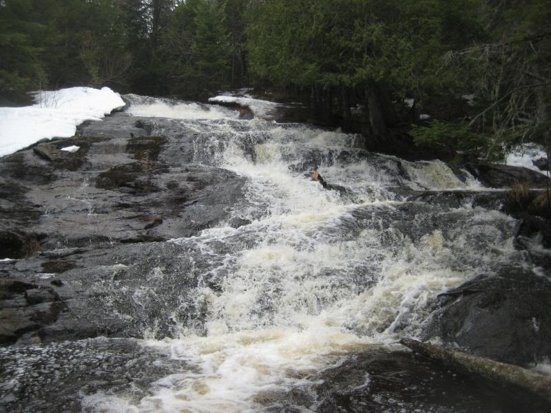
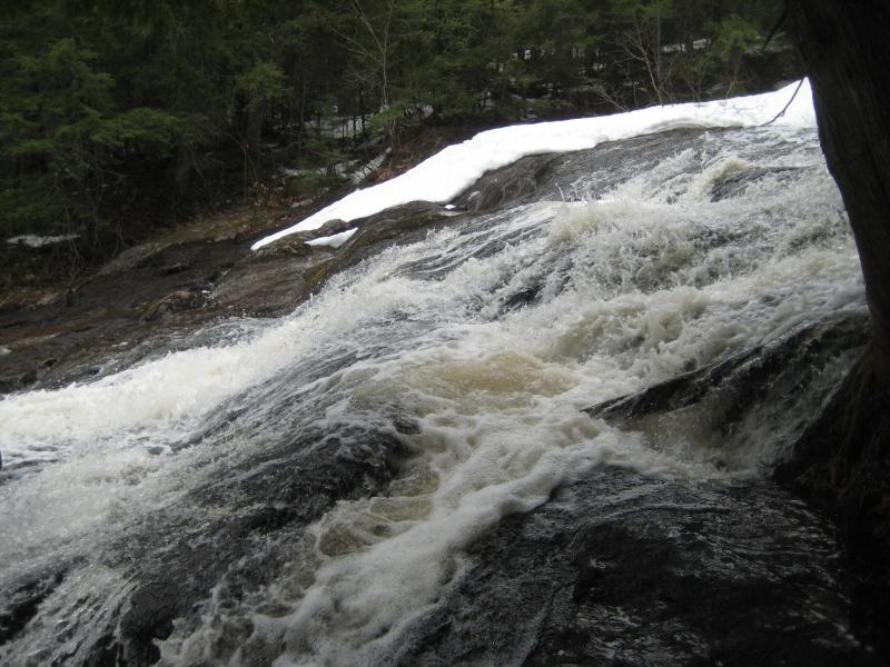
Sticking close to the creek made sense. The track had been hard to walk on and, if I remembered correctly, had a few signs posted along its length. There was at least one person in our party who would have objections about trespassing. If we kept close to the water's edge we may just miss any sign of my planned route. This turned out to work well. When we reached the proper Cedar Falls, less than a half hour after leaving the Northwestern behind, no one had seen a single Club sign. Cedar Falls was definitely on Club property.
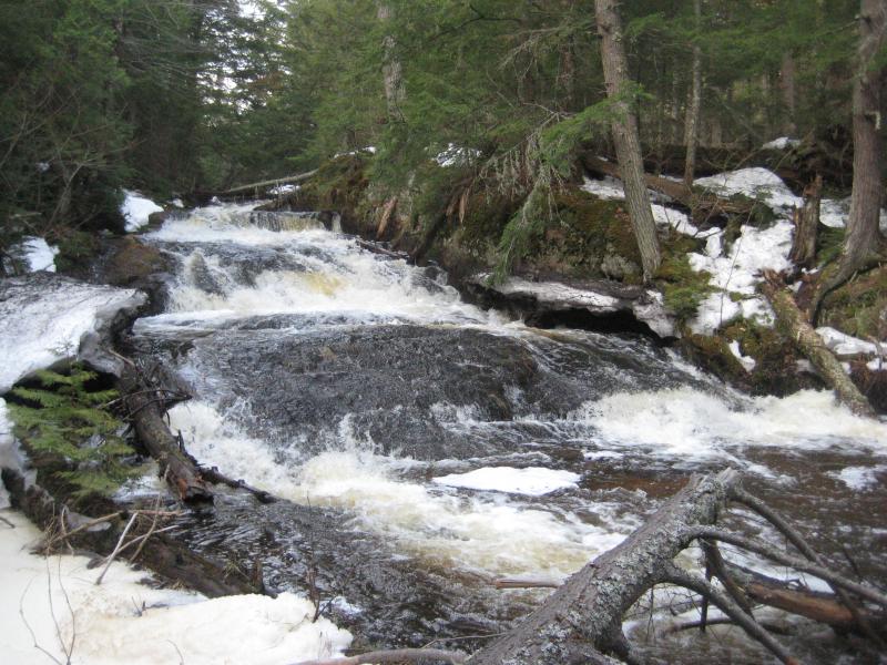
Large fanning drop between the snowy banks
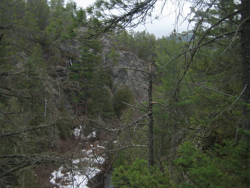
The going started to get tough. One side of the river would steepen or have high drifts and we would cross to the other over logs or through fords for a few hundred yards before crossing back for the same reason. The snow was still pretty deep in Cedar Creek's little valley, sheltered by the shallow dip and huge cedars and pines. I started to get worry about the feasibility of our route. Every step we took right now was taking us deeper into the Huron Mountains, further from the car, and there was no easy way back out.
Our creek calmed down, too. Below the main falls it meandered through swampy sections and a few rapids, never dropping much, and making me question whether or not Turkey Neck Falls even existed. All I knew was a rumor of a drop downstream of Cedar Falls: I had seen no pictures or other proof of the falls. When a pair of small drops showed up above deep pools I wasted little time scrambling down next to the creek and taking some photos.
Snowy drop into a deep pool
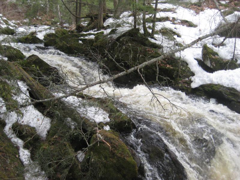
After a long hour along the little creek things got even more difficult. The valley narrowed and began to fill up with deadfall, choking the water and forcing us further up and away from the water. There was something else, though. The creek had quickened here and seemed to twist and drop sharply under the downed trees. If this was Turkey Neck Falls I wanted to make sure to take some photos. I crept over the logs and through deep snow to capture a few mediocre shots.
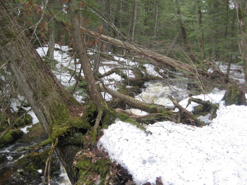
A churning, cluttered chute
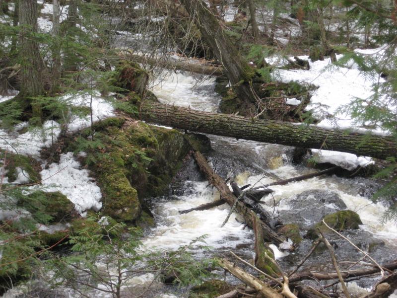
Looking up the busy creek
Somewhat content with this find we headed up and away from the river. It had began to get swampy again, and from the looks of my map there would be no more drops. The southern shore of Mountain Lake is a nasty looking swamp that reaches up both Cliff River and Cedar Creek. I didn't feel like braving that swamp today.
We climbed up and around the low hill that sits between the two waterways under a barren forest. Someone found a logging track that seemed to go in the right direction so we stuck to that. In the far distance I could make part of a lake, Mountain Lake, though this wasn't the grand vista I had been hoping for. I was too far, too low, and the woods were too thick to give a good view.
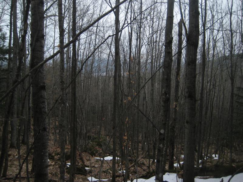
Mountain lake in the far distance
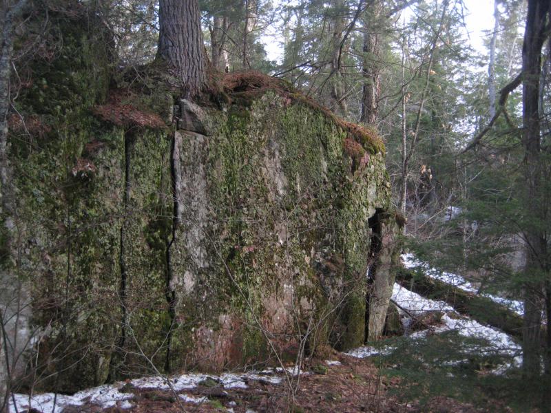
Our little old logging track ended shortly after we found it, leaving us stranded in the woods high above Cliff River. That was our next destination, Cliff Falls (or Forty-Foot Falls) over to the west. We were so far north, though, so close to some potentially amazing terrain and so deep in the Club property. I couldn't let this opportunity slip by. I led the group further into the woods until we were on the edge of sudden cliff. We had found the cliffs of Cliff River.
Looking along the steep gorge
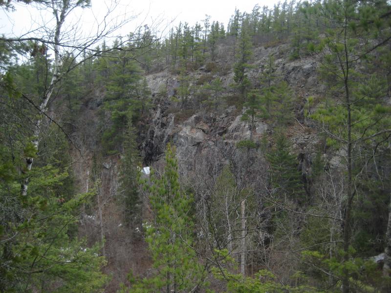
Across at the canyon wall
When I had first visited this river and waterfall I didn't get it. The land around the falls was hilly and the waterfall decent (though it is not forty feet in height) but there was no cliffs. It wasn't for several months that I saw the sharp gorge by Mountain Lake. Early white explorers used Lake Superior to get up here and probably came up Mountain Lake to these rivers. They probably named this river from the steep cliffs near the lake, ignoring that most of it traveled through swamps and low hills.
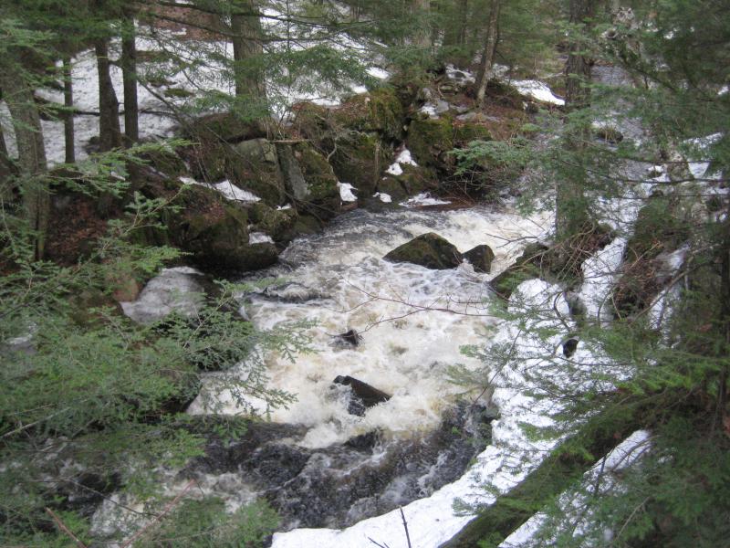
And now our little group was on the edge of those cliffs. They were truly ridiculous cliffs, much steeper and harsher than most features any of us had seen in the Upper Peninsula. The easiest explanation would be glaciers. I can't imagine this little river carving this steep of a path even if there had been a narrow crack in the rock to start the flow at one time. Whatever the cause, they made for a great scene and a hard obstacle.
Layers of deadfall and brush coated the southern side of the gorge. Combined with the mossy and uneven ground this made for a painfully slow route west. Hoping that our route would be easier down inside the gorge I refused to back away from the edge, frequently peering over for a way down. When I finally found one it was choked with deep snow. We crawled and floundered down the gorge, half-rolling to keep from sinking in the wet slush, and reached the side of the river soaked and tired.
A full Cliff River
We reached a good spot, too. A few dozen yards west and we hit a decent sized cascade over boulders. This was too far downstream to count as part of Cliff Falls so I decided to call it Lower Cliff Falls. It was small, maybe five feet tall in all, but it gave some level of validation for our long hike north.
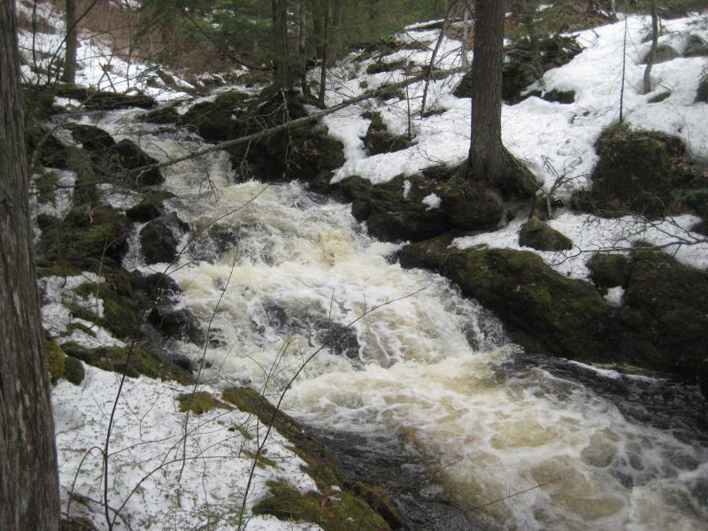
Lower tumbles
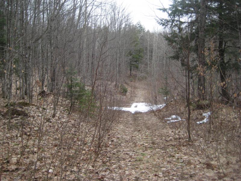
There was no point on following the river further up from here. In fact, it would have been very foolish. The section of Cliff River near Cliff Lake was nothing more than an overgrown swamp that would be currently flooding. Trying to make our way through that would be close to impossible. Instead, I led the group southwest into the woods. There was grumbles of tiredness by now, especially from Emily who was not expecting this type of hike today, so the quicker I could get us to the next destination and the car the better. So I found a road.
Overgrown track near the lower falls
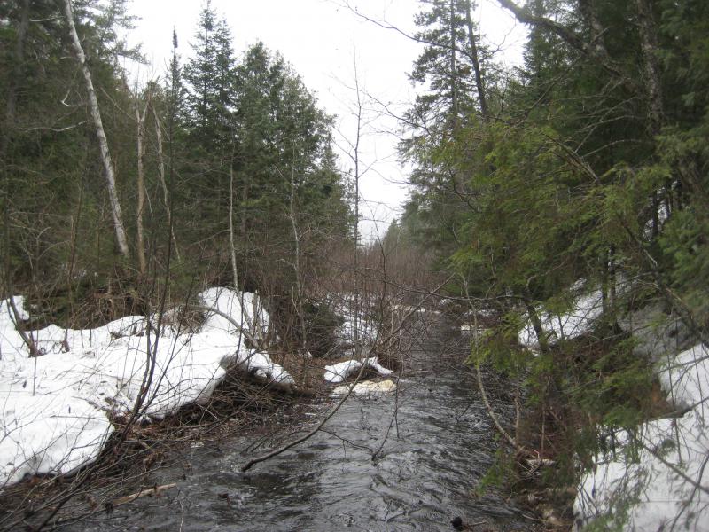
This track made things very easy. A few sections were muddy, and others were covered in snow, yet overall it was quite better than hacking through the forest. It took us just over a half hour to walk the mile around the swamplands of Cliff Lake and cross the river upstream.
Now, I had some interest in exploring those swamps. Getting a glimpse of Cliff Lake would have been a great bonus to this long loop, especially after the partial views of Mountain Lake. But the group was tired. So when we crossed the river and found another road we turned left. To the right lay Cliff Lake less than a half mile away. Maybe another day.
Easy ford over Cliff River
This road was more difficult to walk along. It is much more traveled, connecting directly to the Northwestern, and had already seen a few tires this spring. We sloshed and slopped up through clinging mud on a slow uphill crawl. It was a relief to hear the falls next to the road, both as a break from the road and as an easy way to wash some of the heavy mud from our boots.
Water falling down the dark rocks
After exploring Cliff Falls we sat around the upper camp and debated our options. We could continue on the muddy road past the hunting camp for two more miles to the Northwestern. Or we could just cut straight north and take our chances in the woods. The muddy road cut an wide loop to the west with the river, making it the longer option. While most of the group didn't like the idea of the woods they liked the thought of a long slog through thick mud less. We headed out of the camp and into the woods.
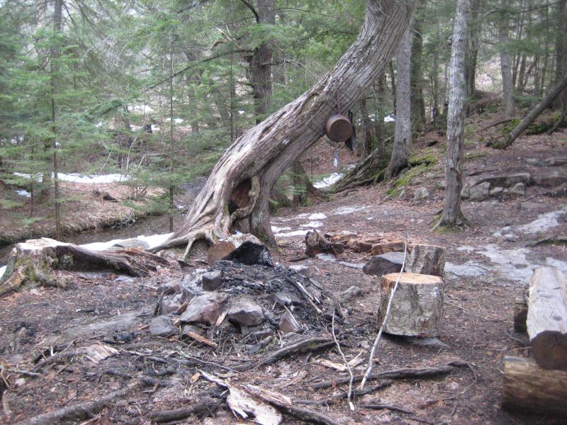
Spring-wet camp above the falls
Rocks and deep snow ahead
Our choice ended up working out very well. We found a series of logging tracks that were dry enough to make easy walking. Within a half hour we were back at the car, far shorter time than we would have made it sticking to the muddy road. Our entire loop had only been five hours, five hours through some amazing lands of the Huron Mountains, even if the mud and soaked clothes told of a rough journey.
For the most part my fellow hikers seemed content. The waterfalls had not been the tallest in Michigan, nor had the half-melted forest that beautiful, but we had seen some large cedars around Cedar Creek and some partial views of mountains and lakes of the Huron Mountains. Both Emily and Faith were wore out, Mike not far behind, and Logan slept like a rock for the whole drive back. I told stories of the lands and we plotted future hikes along the way, as I didn't know at the time that this was the last hike I'd be taking with any of them for a very long time.


-
Jacob Emerick
Mar 2, '16
Ha, it was one heck of a haul. Thought I was going to have to haul a few of them over a shoulder! The views, though, especially of the cliffs around the lower Cliff River, are fantastic. Only wished we could have gotten a better angle of Mountain Lake on this trip. Thanks Gary!
Add to this discussion