The last few trips had been riddled with setbacks. Trying to find Vista and Onion Falls I found only black flies and swamps. An abnormally large thunderstorm drove me out of the woods over by Herman. Then, just yesterday, I slipped and messed up my knee near a tiny (and disappointing) waterfall on Plumbago Creek. Today I needed a win. I decided to explore some of the land beyond Skanee, the wilderness of the Huron Mountains that I had avoided so far this year.
Before I tempted the wilds I wanted to finish up some spots by Herman first, though. After a late start I made it out on the Herman-Nestoria Road in the late morning, looking for an easy way to No Name Falls. This waterfall was located on a small, unnamed creek (more a chain of swamps and ponds than a creek) right before it drains down into the upper reaches of Sturgeon River. I found the road that would lead me along the creek and it was flooded, impassable for my small car. Not game for a multi-mile hike, not with my sore knee, I decided to push this destination off for another day.
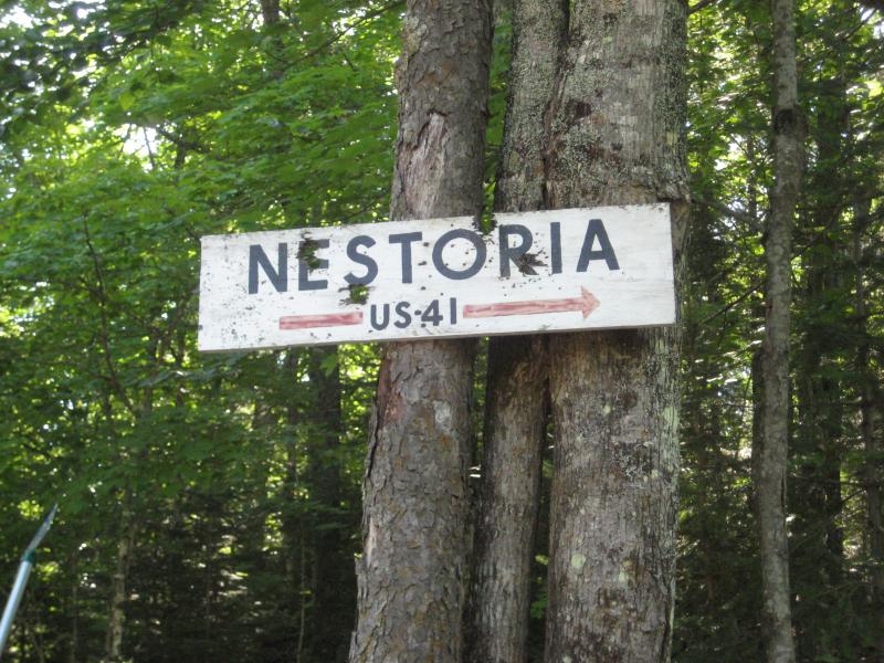
Abused sign for Nestoria
A small tick mark on a topo map led me to believe that there was another nearby waterfall on the far upper stretch of Sturgeon River. Hoping to access it from the Herman-Nestoria I parked due west of the spot and surveyed the land. Recently logged land lay along the road here, an unwelcome option for me to clambor over. I got out of my car, tried a few paths in, hoping that one of their giant vehicles had pushed a path all the way to the west. There was no paths and the piled up brush was too much for today. I turned around again, giving up on my Herman destinations for the day.
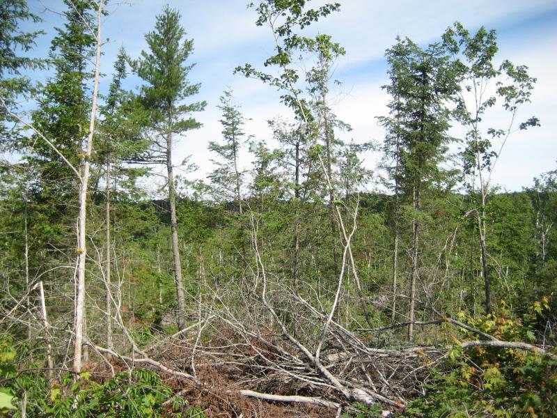
Recent logging activity to the east
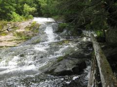
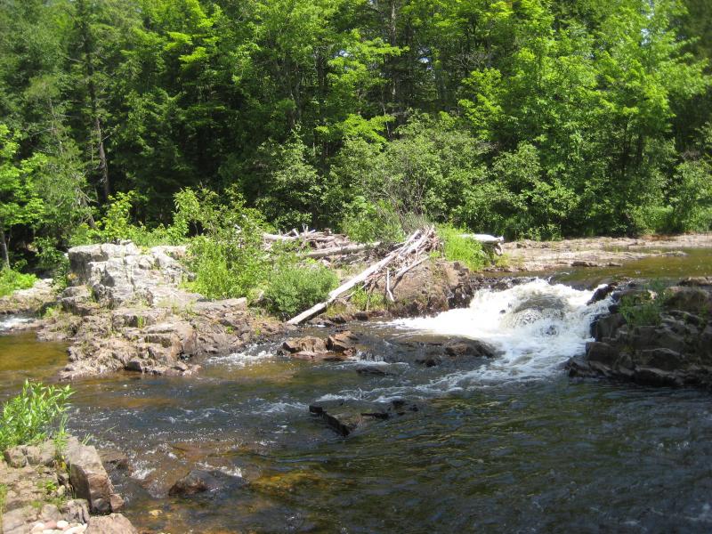
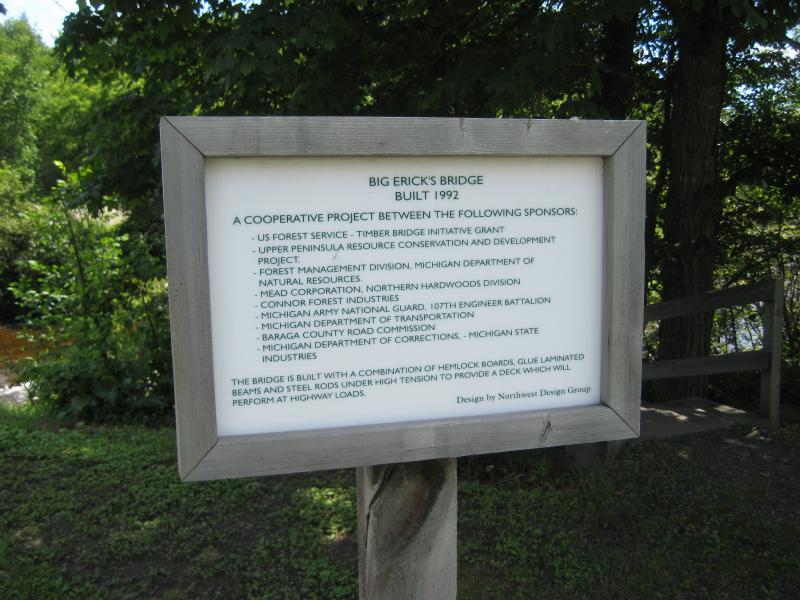
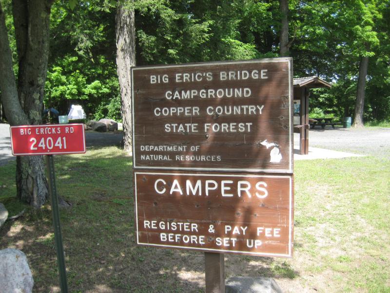
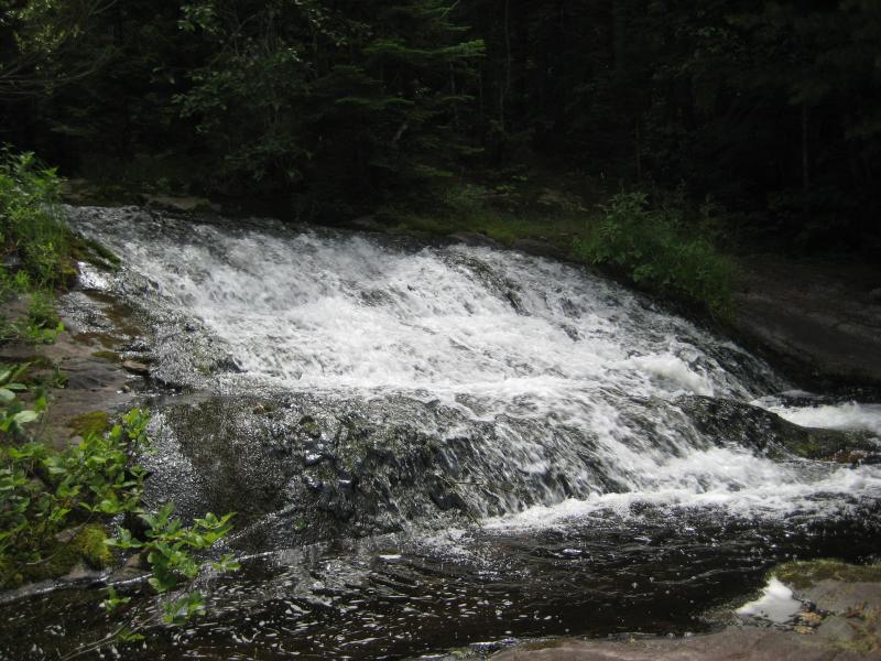
Picking up a sub from L'Anse I headed east on Skanee Road to the new land. The morning was already gone and I was ready for new adventures. The first stop was an easy one, Huron River flowing under Erick's Road before tumbing down Big Erick's Falls. There is a nice parking area here, probably for fisherman, along with a rustic campground and trails down the river. I didn't spend much time here, as the falls were small, though I did put a mental bookmark to tempt Katie with camping sometime in the future.
Block rock formations on the falls
Scraggly brush on the block river
The Huron River splits into two branches directly upstream, a split visible from the bridge. Both branches have separate gorges to travel through with numerous named and unnamed drops pouring over hard rock riverbeds. I wanted to check out East Branch Falls next, which was located only a short distance off the road as the East Branch empties out of its gorge.
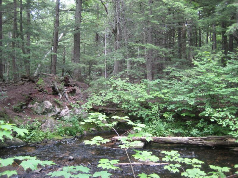
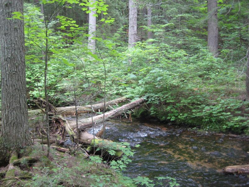
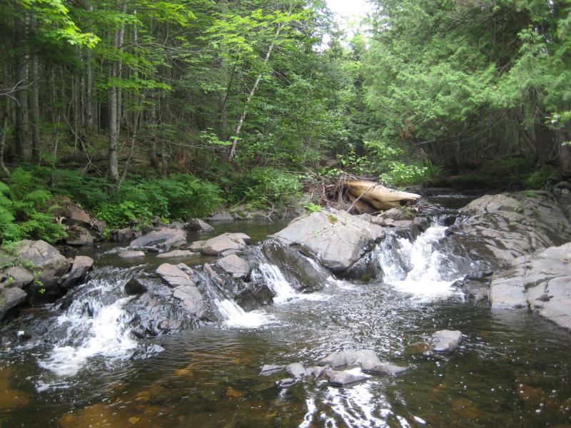
After a short drive down Erick's Road past the bridge and campsite I parked near a tributary that flows down to the river. Following the small, trickling creek took me past a hunting blind and through the woods to a winding, sluggish East Branch Huron River. The falls were upstream from here so I maintained some hope that the river would liven up and turned left, following the wide banks about a half mile to the falls. The waterfall was tiny, maybe a few feet high at most, but the tall cedars around the falls and steep rock walls made for a pretty little scene.
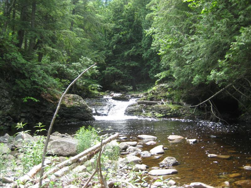
Small East Branch Huron River Falls
There was more to see in the gorge. I had read stories from kayaker boards about more drops upstream and knew that Big Falls lay even further. I didn't have the time or the knee for that hike today. Turning about I headed back through the woods and to my car.
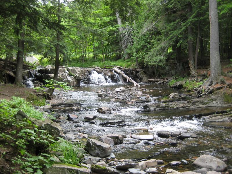
Driving further down Erick's Road I came to a small clearing with small, planted pines stretching off to the south. The turn-off for Cliff Falls Hunting Club was coming up, a narrow two-track that led past a humble cabin to a waterfall on Cliff River. I wasn't sure if this road would be gated or even passable in my small car, but with the exception of a few shallow mud puddles to splash through I made the drive just fine.
Forty-Foot Falls (or Cliff Falls) was an easy walk, sitting right next to the road, with a nice camping spot perched up by the crest. The waterfall was more a big slide than a dramatic tumble. I enjoyed climbing down the rocks, both on the banks and riverbed, and took pictures of each section individually.
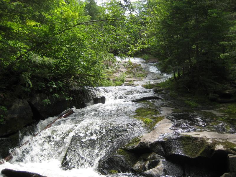
Looking up at Cliff Falls
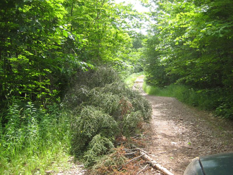
My next stop was even further to the east, further into the Huron Mountains and the wilds. Once I passed the fork for Ford Road the road began to seriously degrade. Large rocks loomed up from the gravel, creeks flowed over the road, and deep muddy ruts that threatened to swallow my tires made me question if my car could handle the drive. When a large off-road Jeep started catching up behind me I pulled off to the side to let him go past, as my slow pace over the obstacles was probably rather trying. He stopped and we chatted, trying to measure each other up. He was a local with deep knowledge of the land and after a good twenty minutes of talk that I learned that Cedar Falls, my next destination was located on Huron Mountain Club property.
Now, I've never really worried too much about private property. Most landowners with waterfalls on their property don't seem too worried about footpaths leading through their woods or occasional explorers politely taking a few photos. Hungarian, Black Slate, Quartzite… all of these drops were on private property and some of them even have nice trails and signs to help out visitors. I had heard hints that the Huron Mountain Club was a different story, though. This guy seemed willing to both venture on that land and take me along for the ride.
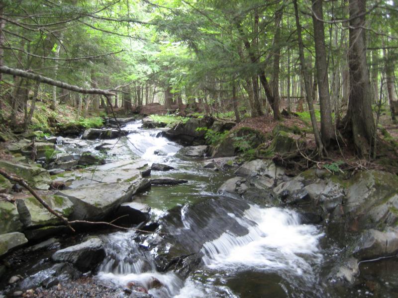
There is a horrific little track that follows Cedar Creek north of the Northwestern Road, littered with deep ruts and tilted so sharply that it seemed almost a joke. His jeep loved it. We were tossed and shoved around as we followed the creek to a small parking pull off. It wasn't until we left the car on a footpath and got close to Cedar Creek that the Club's signs began to show up.
The falls were small and quaint, a long cascade over dark rock, but the forest was enchanting. Huge cedars, layers of moss, soft, spongy ground underfoot, and giant rocks protuding from the cliff banks like a giant had just tossed them randomly around gave the entire area an old, familiar feeling, like your father's leather boots or a hand-crafted pocket knife. We were both wary here, feeling like we didn't belong in such a pristine location, so after a few photos we headed back to the road.
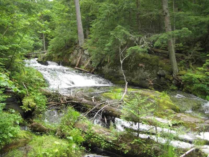
Mossy cascades
Old rocks and downstream trees
He was heading further east, down the worsening Northwestern Road, so we parted ways. Cedar Falls was enough excitement in this area for the day. Carefully driving my own car over the deep ruts and protruding rocks I finally made it back over Big Erick's Bridge, back into some resemblence of civilization. I breathed a sigh of relief. If my car would have broken down or gotten stuck out there its hard to say how long it would take to reach someone and get a truck to tow me out.
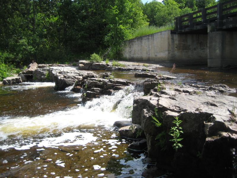
My day wasn't done yet, though. Less than a mile of pavement later I turned south down Black Creek Road, heading to another easy roadside waterfall. Erick's Falls flows under the road, although the bridge is a boring concrete structure compared to Big Erick's fancy wooden bridge. It was a small waterfall, a single drop over dark basalt, with a few campsites scattered on the east bank. A few minutes for this stop and I turned and headed down Leatherby Road, following West Branch Huron River even further upstream.
Up at Ericks Falls
Somewhere up this road lay Leatherby Falls, though I wasn't sure exactly what I was looking for. I had seen a two tick marks for falls way upstream, pretty close together, and if I could just find one I would probably find the other. Leatherby Road had other plans, though. The track split and reformed, turned sharply, and had multiple turn-offs, doing its best to confuse me. Sticking to my directions as close as possible I ended up parking at an orange gate and headed down the creek's bank, finding a tiny set of rapids that I called Lower Leatherby Falls.
Boulders scattered along the river
Continuing down the road, trying to stick to the most traveled paths, I finally found a right fork that looked promising and headed down a steep slope. The road dead-ended at the river, the ford now blocked off by a mound of earth. I tried downstream first, and finding nothing, headed back upstream. Eventually I found another series of rapids and guessed that they were Leatherby Falls. Somewhat satisfied I turned around. I would learn later that Leatherby Falls were much further upstream and that the two spots I visited on this stretch could only be very loosely called the lower falls.
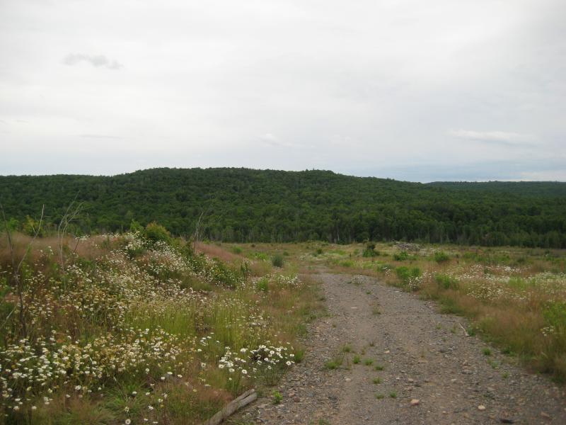
All of my stops were done for the day. There was still a few hours of daylight left so I followed the road a bit further south, coming out on large, clear cut area. I got out of my car to take some pictures of the clearing and the bright blue sky when I noticed a yellow crab spider that had been hitching a ride on the roof of my car for miles. He was an ugly little guy who didn't like the camera. After a short time I got back in my car and headed home.
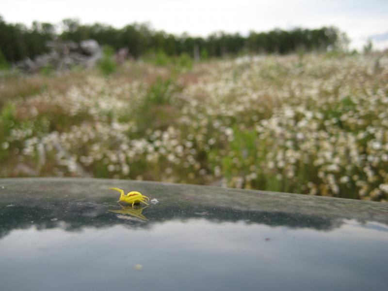
An angry yellow hitchhiker
The drive back to Houghton was nice, the setting sun lighting the western skies. I had visited roughly half of the waterfalls on the Huron River and pushed my explorations far to the east, extending into Marquette County, and had kept my ventures short enough to keep my knee injury in check. As I drove my mind wandered as I planned future hikes to this area, though I decided to first do some house cleaning closer to home. I needed to finish the Keweenaw and Herman waterfalls before expanding any more into Marquette.


Comments (0)